

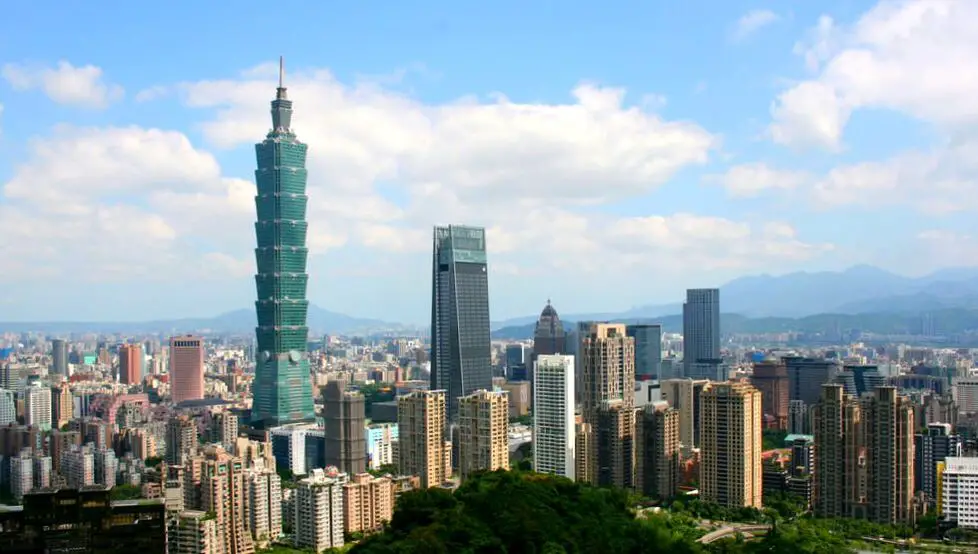
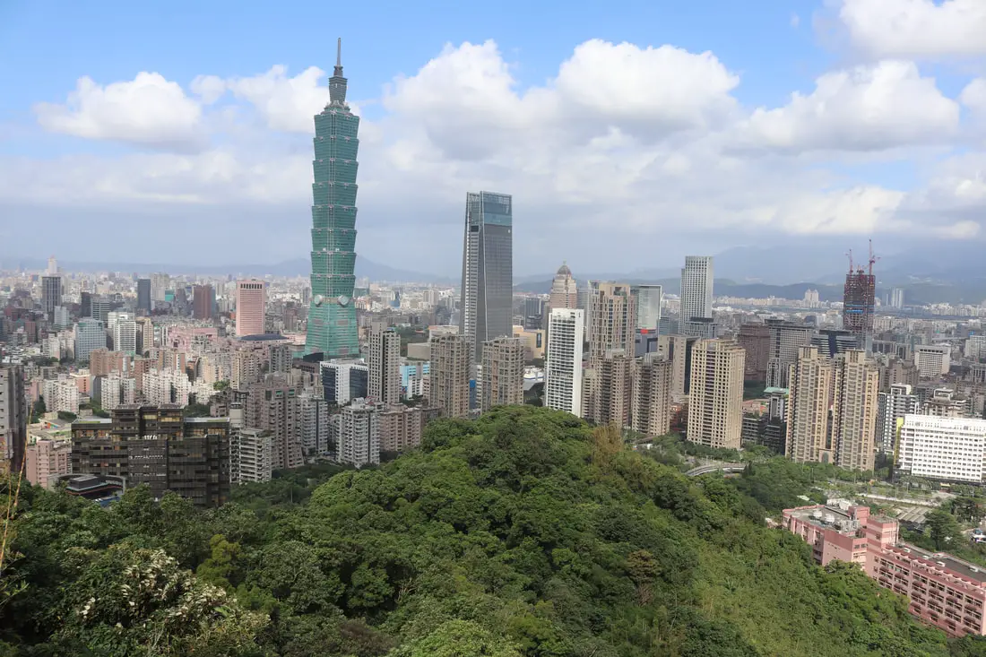
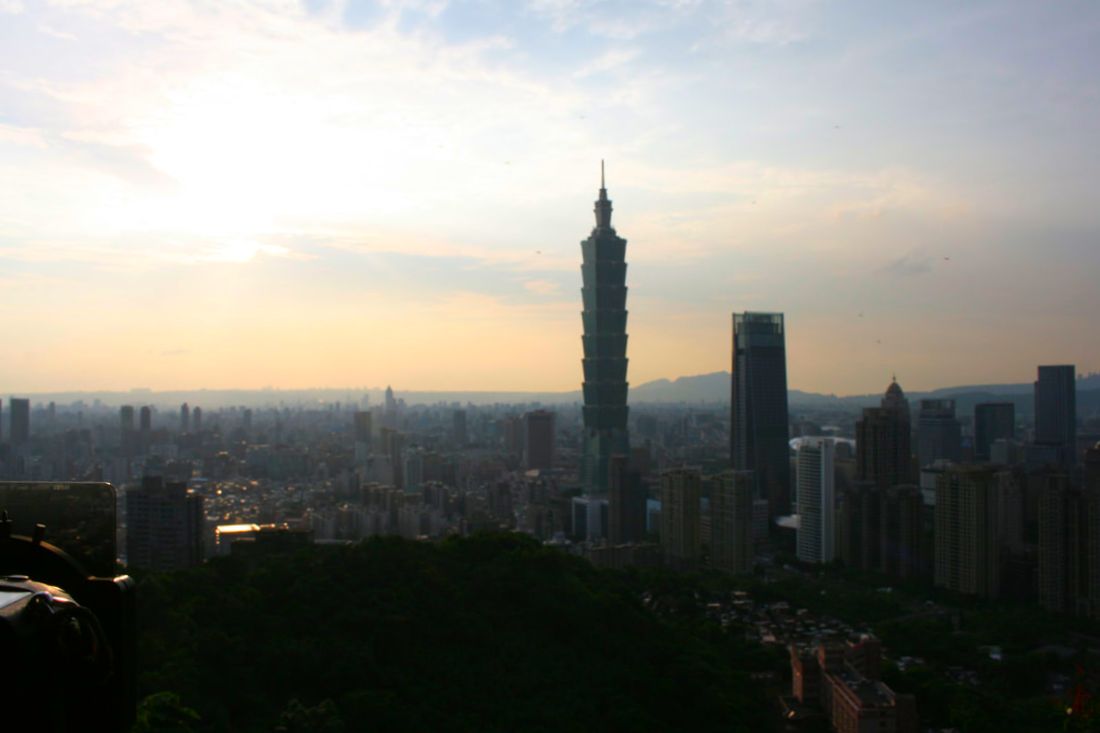
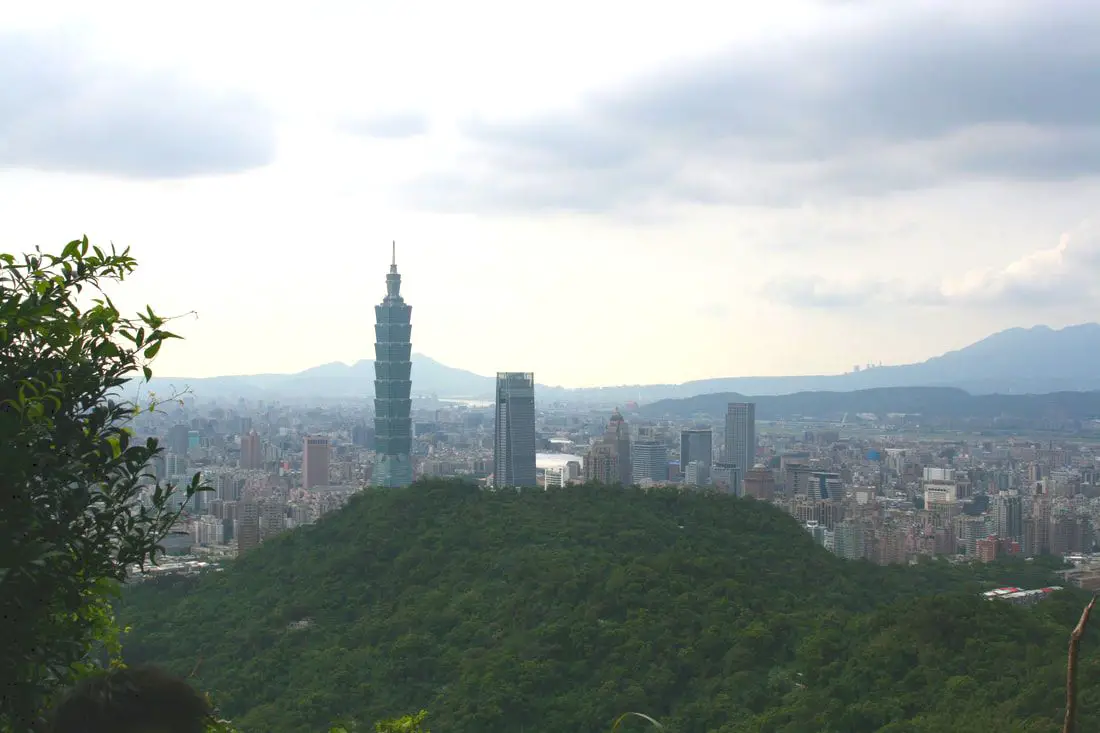
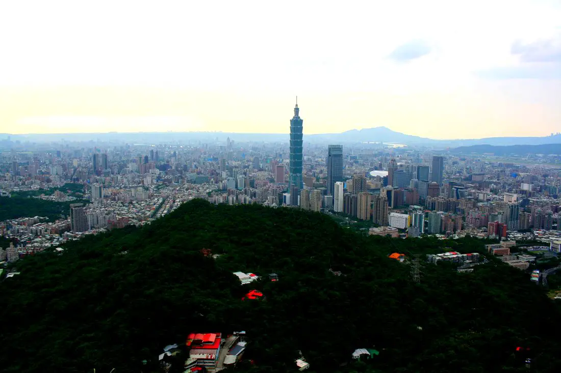
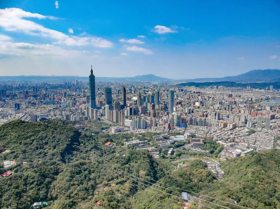
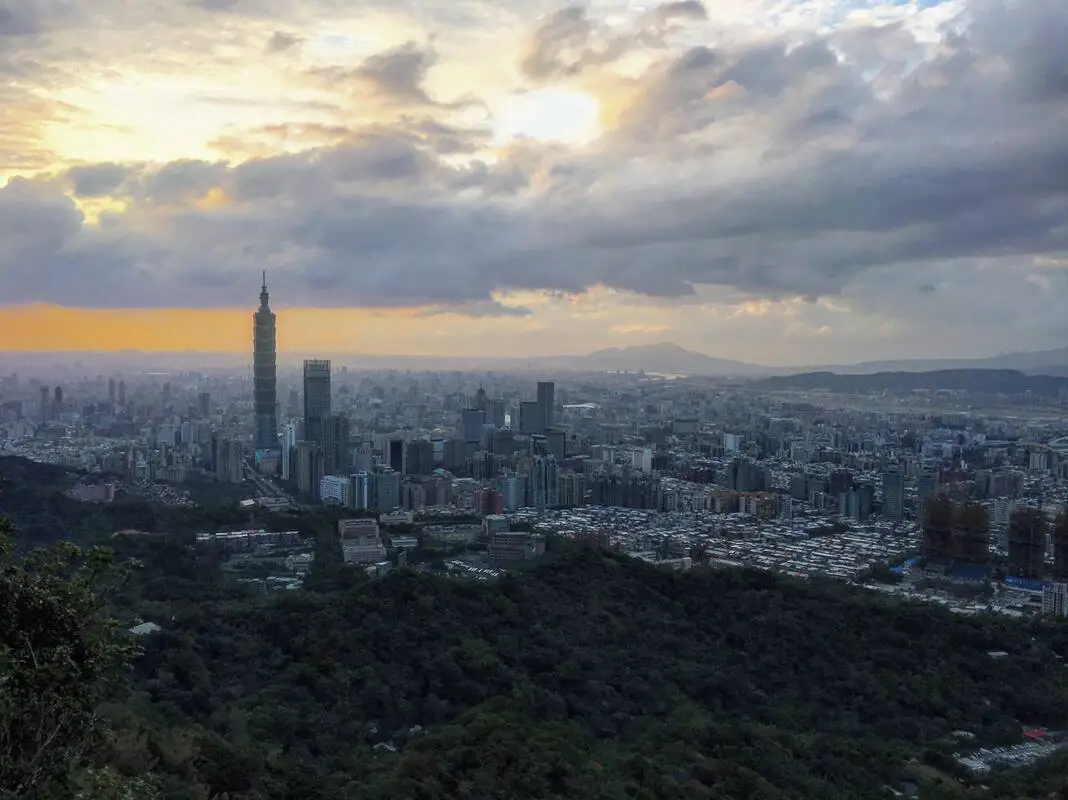
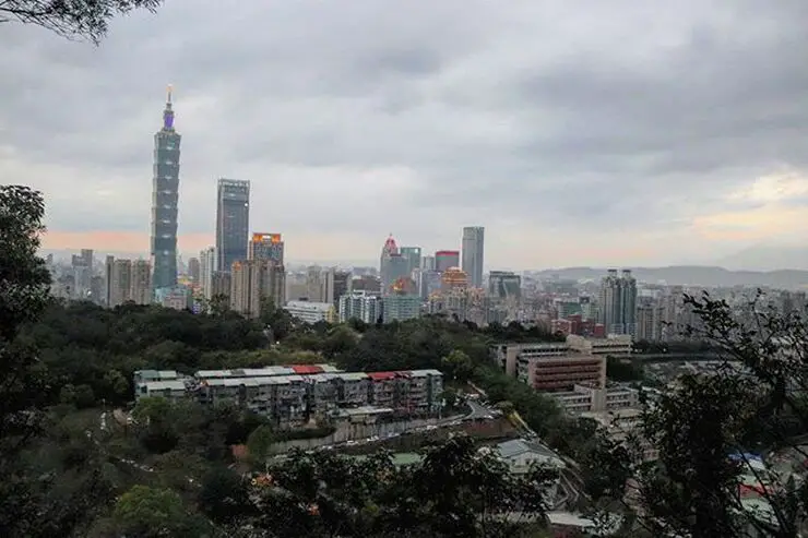
The Elephant Mountain/Four Beasts Mountain trail (aka Xiangshan/Sishoushan Trail) is perhaps the most easily accessible trail in Taipei with perhaps also the best views of the city. This popular and easy hike covers areas of Xinyi and Nangang District and offers excellent views of the 101 and the rest of downtown Taipei. It should be at the top of your list of places to visit in Taipei.
Background: Elephant Mountain get's its name from the shape of the mountain, which from a distance looks like an elephant. The same is true of the hills next to it: Tiger Mountain, Lion Mountain, and Leopard Mountain. Other peaks on the trail include Mt. Nangang, Thumb Mountain, and 95 Peak. Elephant Mountain lies at 181 meters above sea level, and 95 Peak, the highest peak on the trail, is 375 meters above sea level. These mountains lie on the Nangang Mountain Chain (南港山脈), which starts in Nangang District, and goes through Xinyi District, Da'an District, and Wenshan District of Taipei. The rock formations that form the Nangang Mountain Chain formed as sediment under the ocean millions of years ago and were then uplifted thanks to the collision of the Eurasian and Phillipine plates. The rocks are mainly sedimentary and are part of the same formation that forms the special rock formations on the northern coast and in Pingxi. The area also has some coal deposits, and there are a few abandoned coal mines on the mountain. Currently Elephant Mountain and the Four Beasts trail is one of the most popular trails in Taipei or all of Taiwan. With quick access to the MRT, hundreds of people hike these trails daily. Hours: 24/7 (there are even lights on the trail at night) Price: Free Length: Elephant Mountain: 1-2 hours 1.5 KM one way Total of about 160 meters in elevation gain Full Four Beasts Trail: 4-6 hours 11KM one way (to China University of Science and Technology) Total of about 350 meters in elevation gain Difficulty: Easy, although there are many steep steps at the beginning. Tours: You can book a tour of Taipei on Tripadvisor here, KKday here or Klook here. Where to stay: High end: We have stayed at and recommend the Nangang Marriott (book on Booking.com here or Agoda here). We have also stayed at and recommend the Yuanshan Grand Hotel, once the tallest building in Taiwan and still the most grand (book on Booking.com here or Agoda here). Looking for a hotel? We recommend booking through Booking.com here, which provides the best quality selection of accommodation in Taiwan. Find out where to stay in our Taiwan hotels guide or search for the best hotel deals in Taiwan here. How to get there: By MRT: Take the Red Line MRT to the Elephant Mountain stop. The trailhead is about 500 meters from the MRT station. Just walk along the park to the trailhead. You can purchase a discount easy card to use on the MRT from Klook here or KKday here. You can also book an MRT travel pass on Klook here. By Scooter/Car: Drive east on Xinyi Raod in Taipei, and turn right at Xiangshan MRT station. There should be scooter and car parking on the street, but car parking may be hard to find. Looking for scooter rental in Taipei? You can search on Klook here or KKday here to search for options. You can also check out our scooter rental guide here. If you are looking for car rentals, you can also search Qeeq here, Klook here, or KKday here. You can also check out our car rental guide here. By Bicycle: Cycling is the best way to enjoy Taiwan's landscapes if you have the time and energy. Looking for bicycle rentals in Taiwan? You can use Taiwan's many Youbike sharing stations, or search for rentals on KKday here, and search for tours on Klook here. You can also check out our Taiwan cycling guide here. You can also book a Sunset Riverside Bike Ride and Historical Tour, 4 Hour Cycling in Taipei, Ultimate 8-Hour Cycling City Tour, or Taipei City Bike Tour with Night Market Experience on TripAdvisor here. For more information, check out our Taiwan transportation guide here. Map: Please see below: Drone Video:
Check out our drone footage of the four beasts trail above.
Our Journey: In this blog we will cover the following peaks along the trail:
I have been hiking to the Nangang Mountain Chain about a dozen times. There are a spider web of trails and paths that connect these mountains, I myself have not traveled them all. The most popular section with the best views is the Elephant Mountain Trail. Here you will find tons of people on weekends. 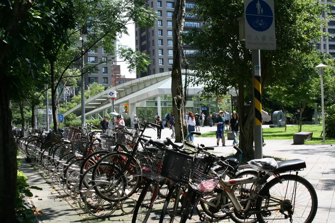
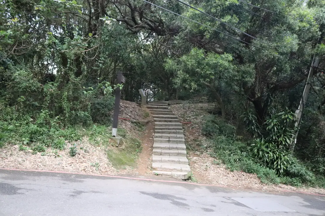
Starting from Xiangshan (Elephant Mountain) MRT station, you can walk 500 meters to the trail head. This part is totally flat.
You may also choose to ride a Youbike to the south side of Xiangshan Park, but its only like 300 meters.
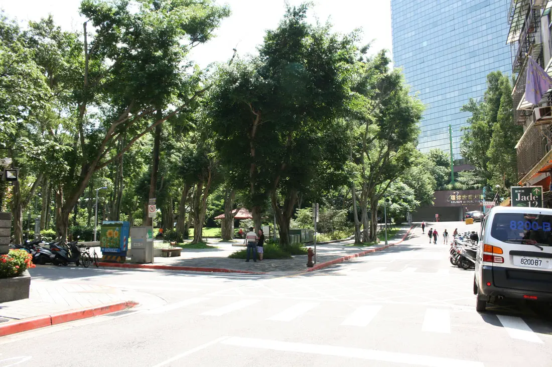
Once you reach the end of Xiangshan Park, turn left and head up the hill toward the trailhead.
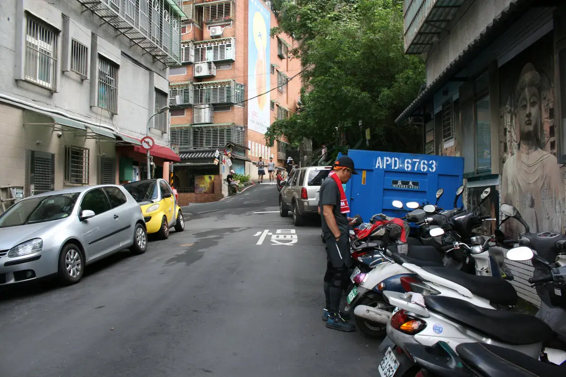
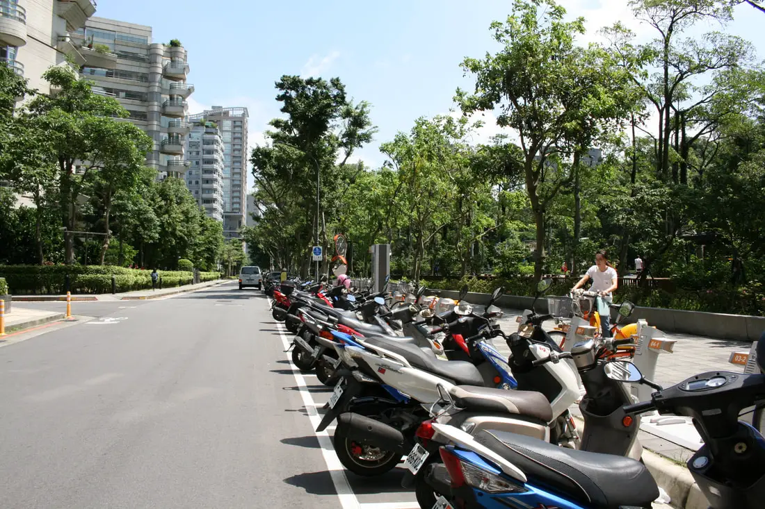
If you come via scooter, you can also park right next to the trail head. I usually come by scooter.
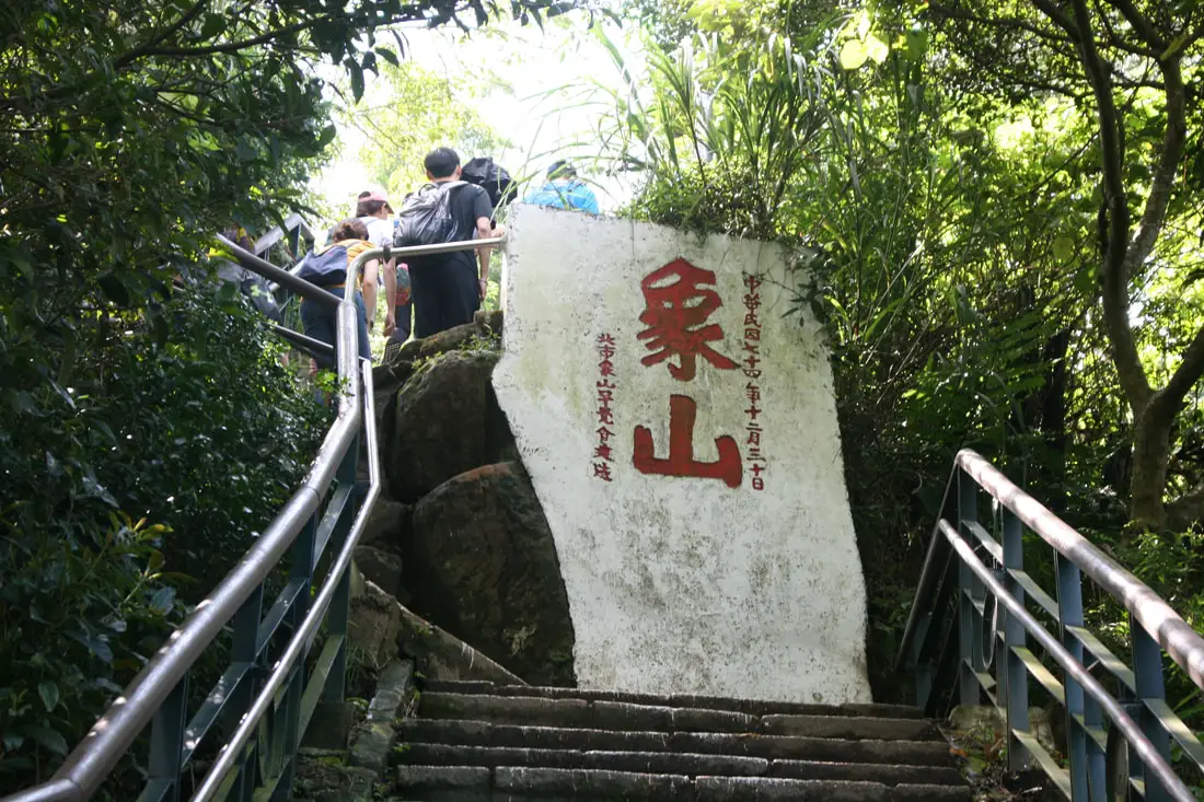
Elephant Mountain Trail 象山步道 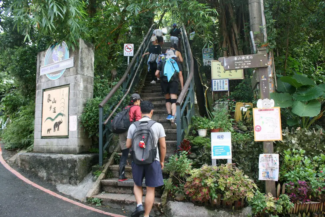
The start of the trail is full of steep stone steps up the mountain. According to this sign, it should have taken you 20 minutes to walk here from Xiangshan Station 20 minutes away.
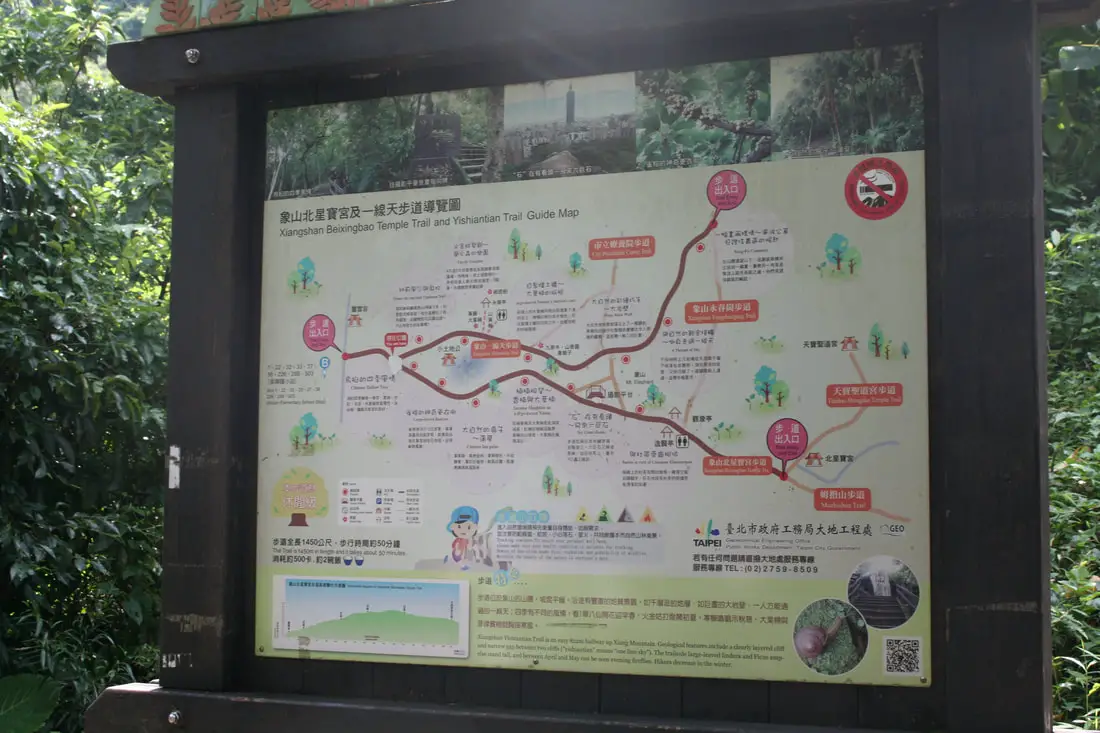
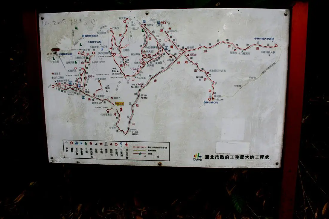
A map of the trails nearby. It would take you several days to explore all the trails on this mountian.
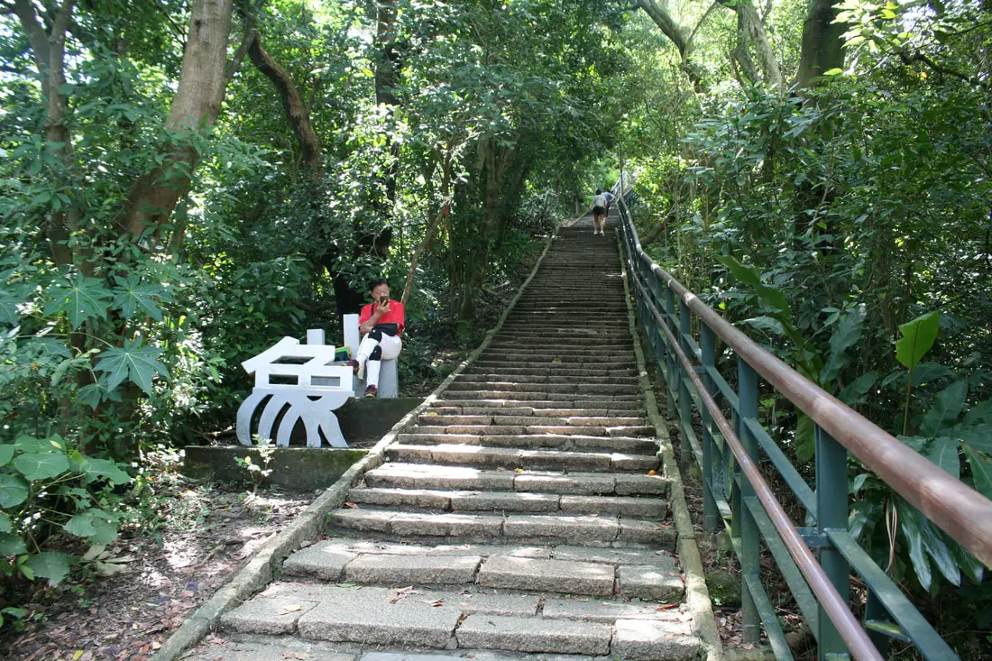
Steps with a create Xiang "象" Shaped bench.
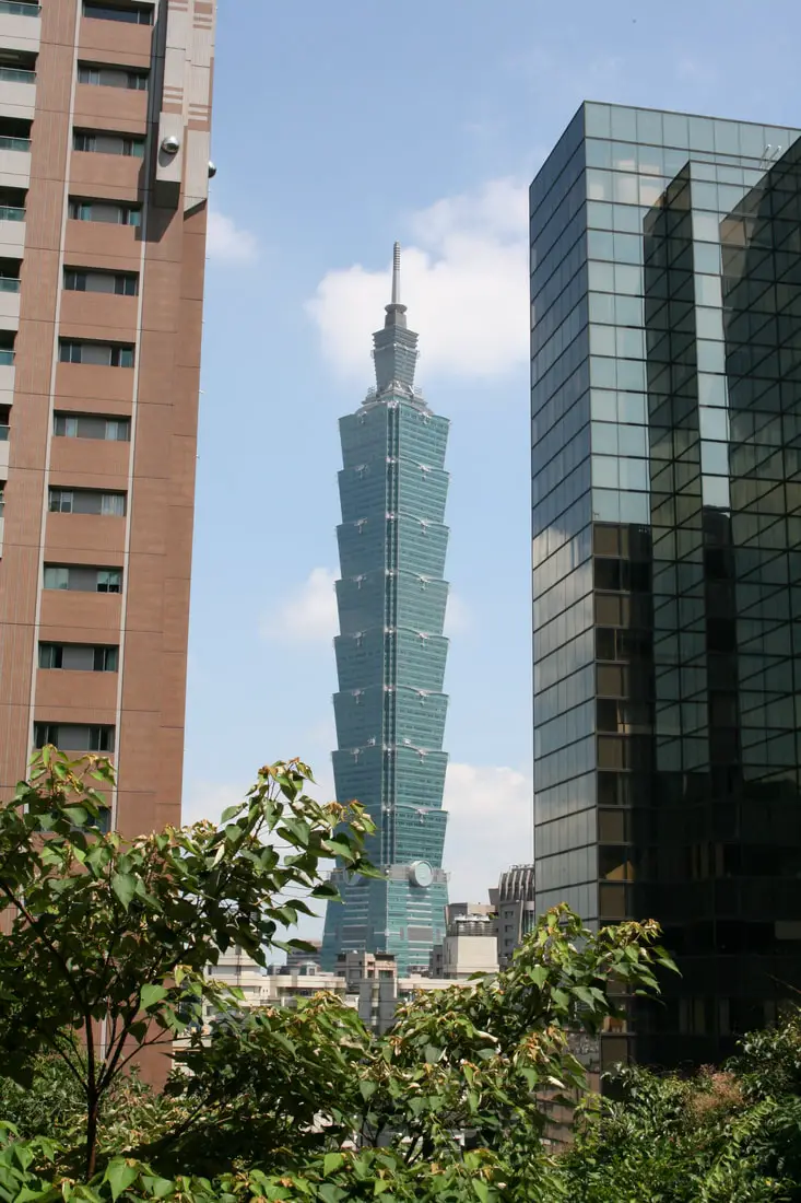
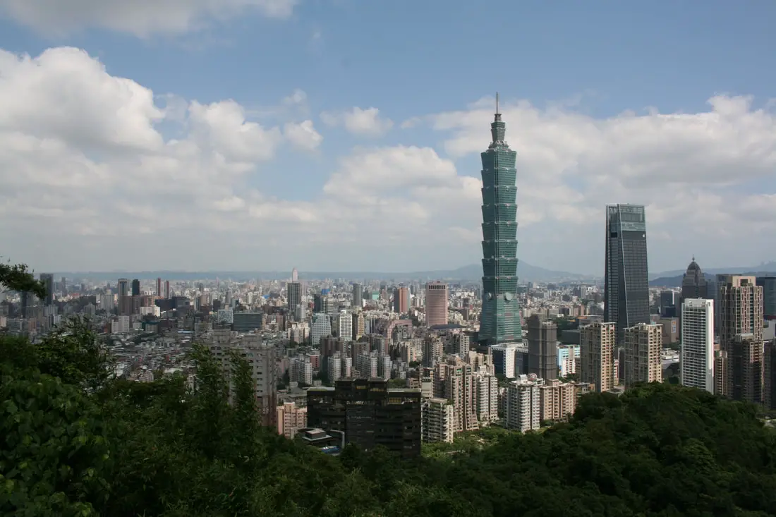
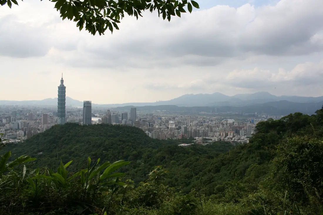
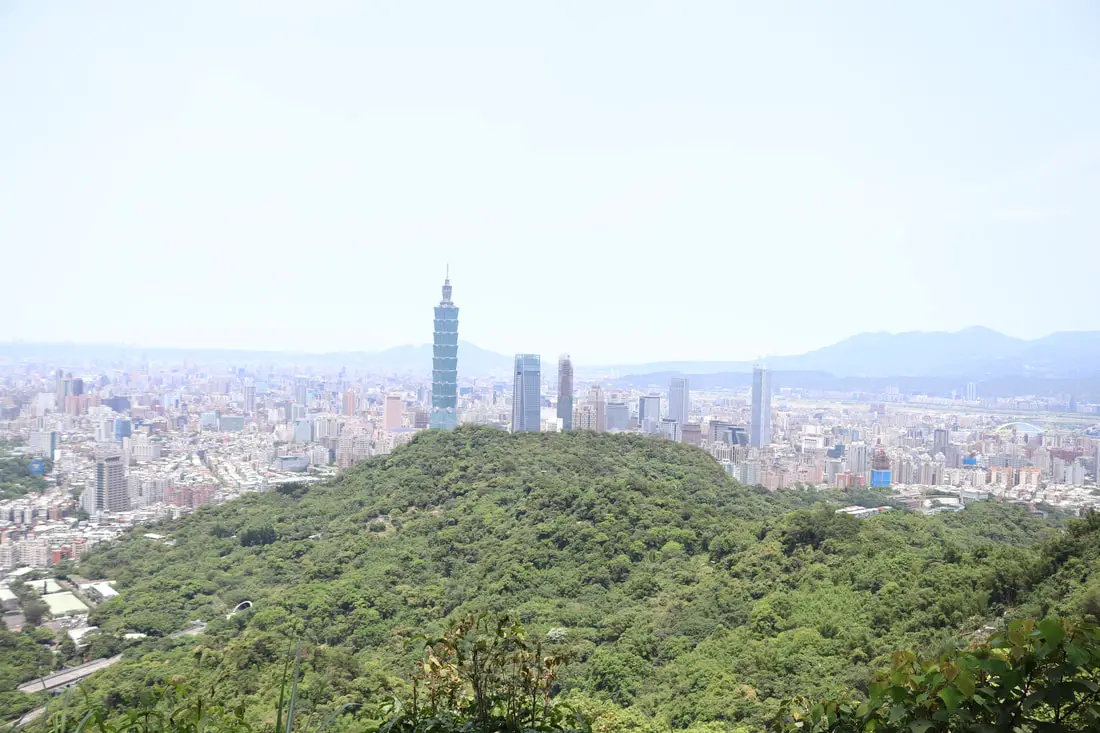
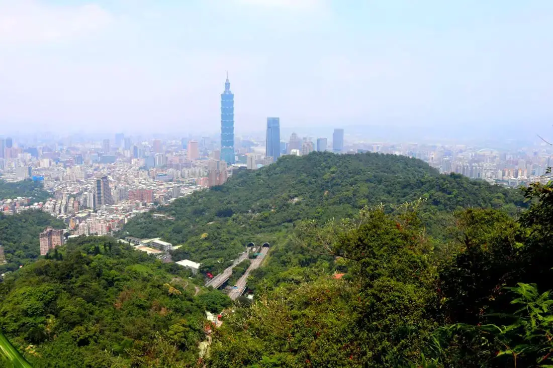
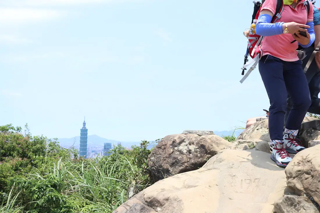
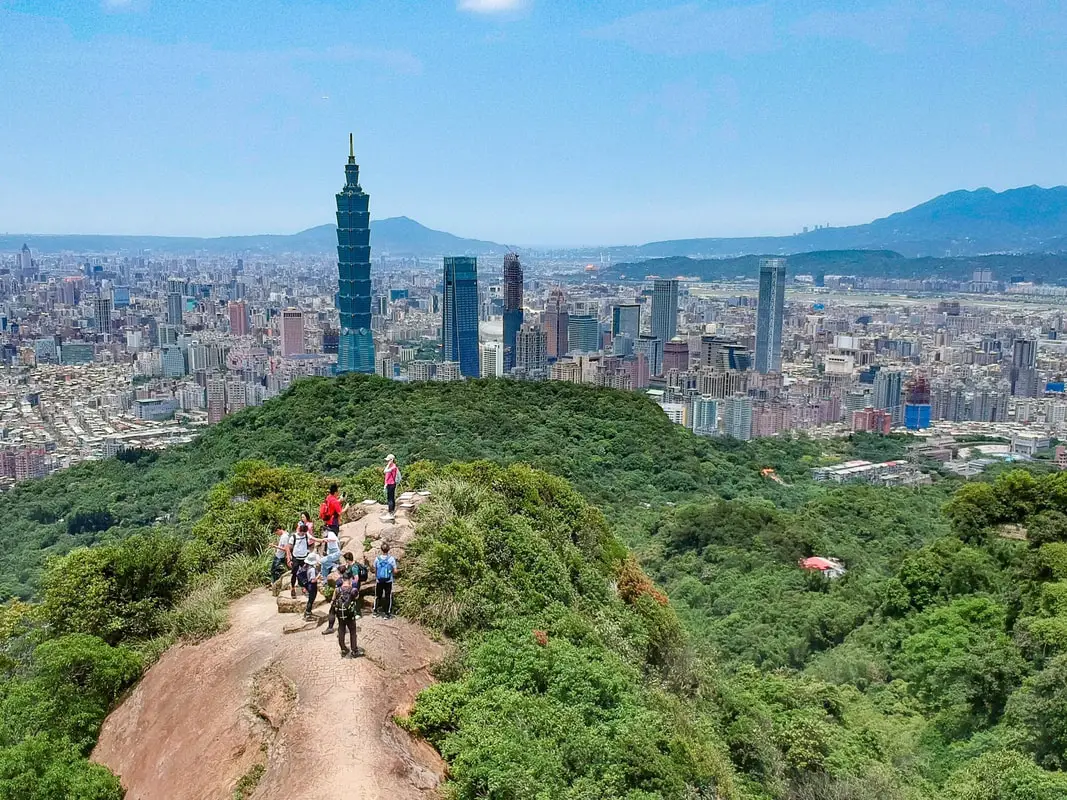
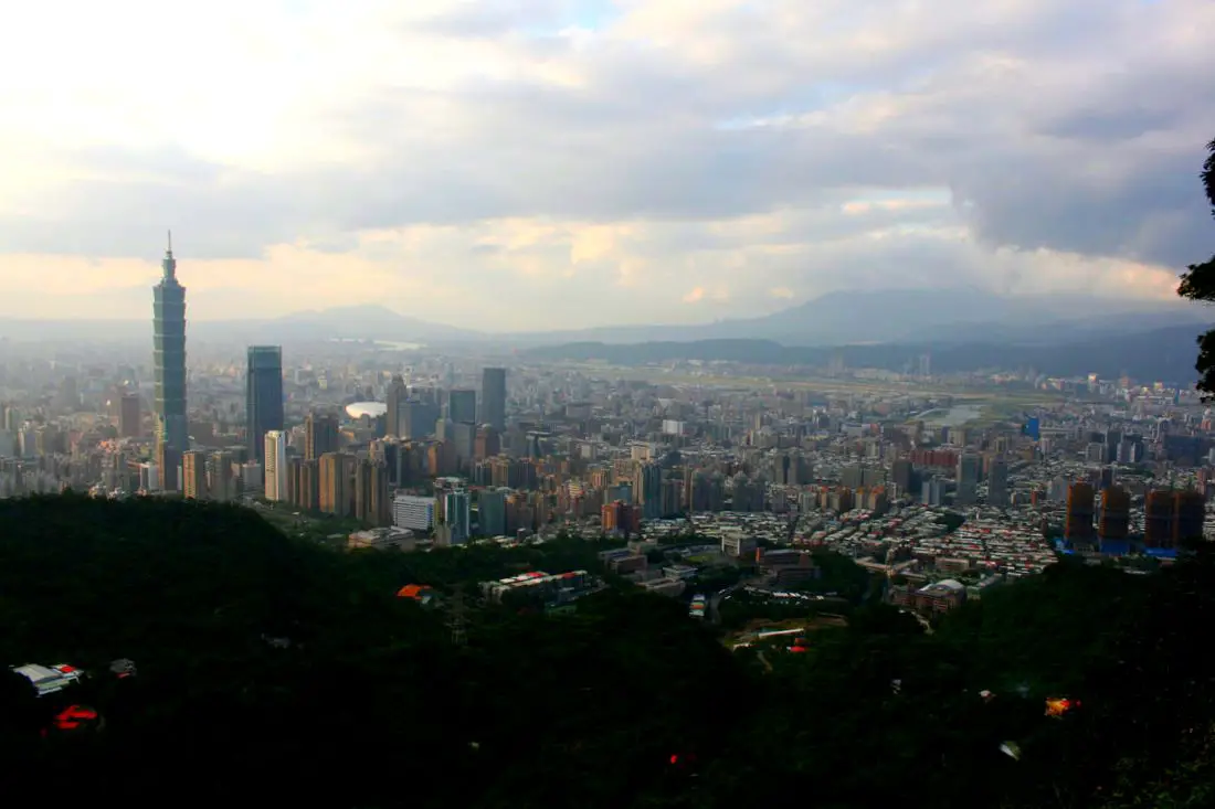
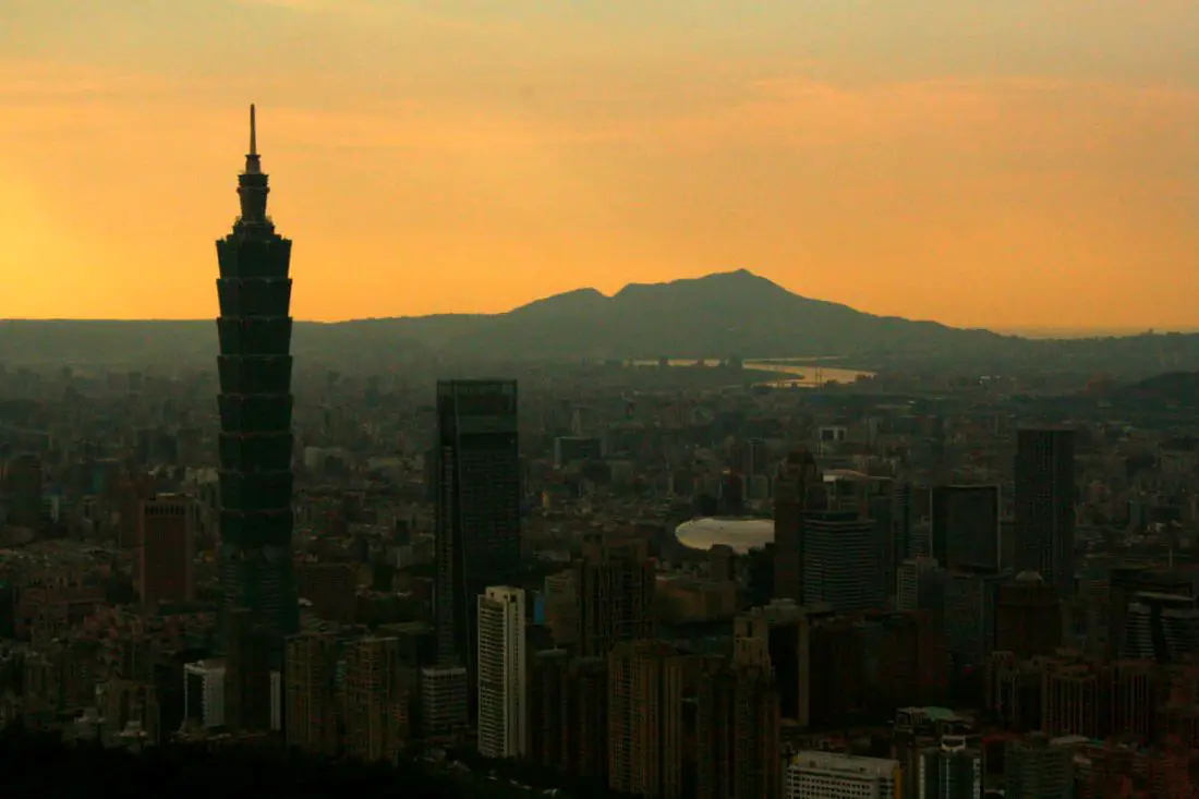
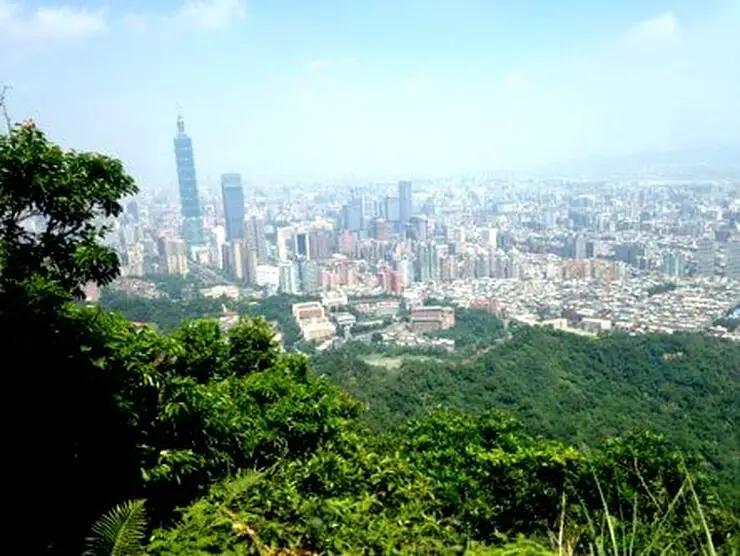
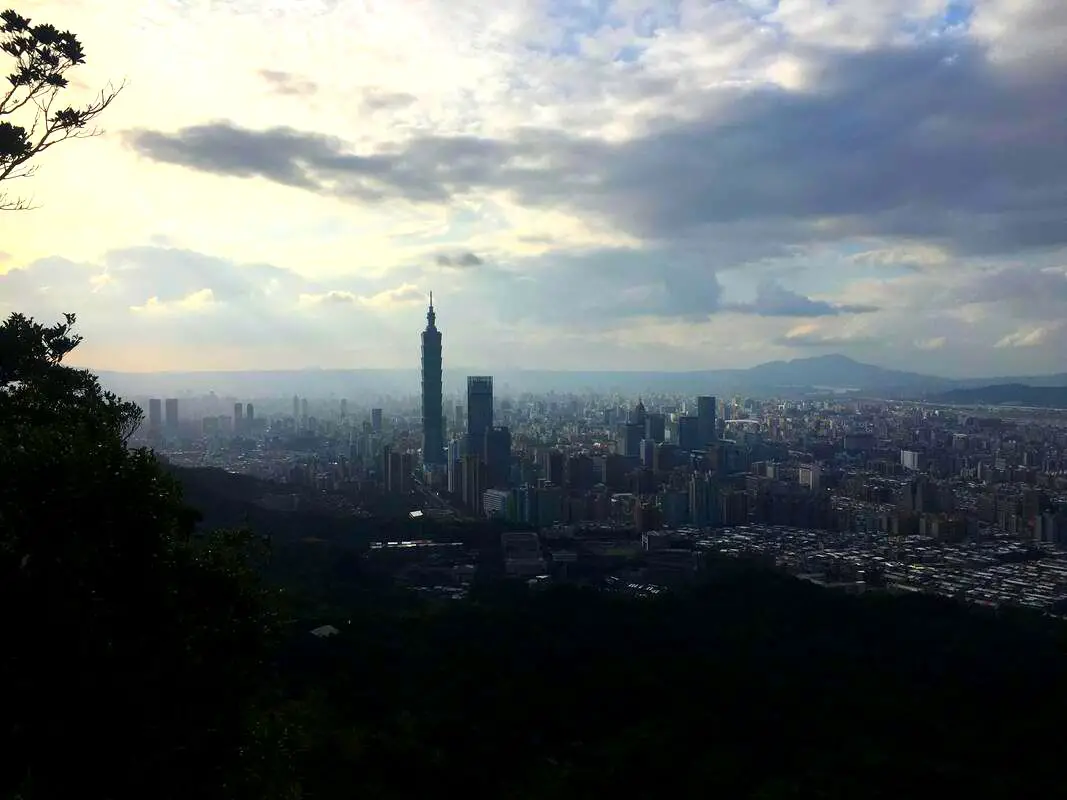
First full view of the Taipei 101 from the trail.
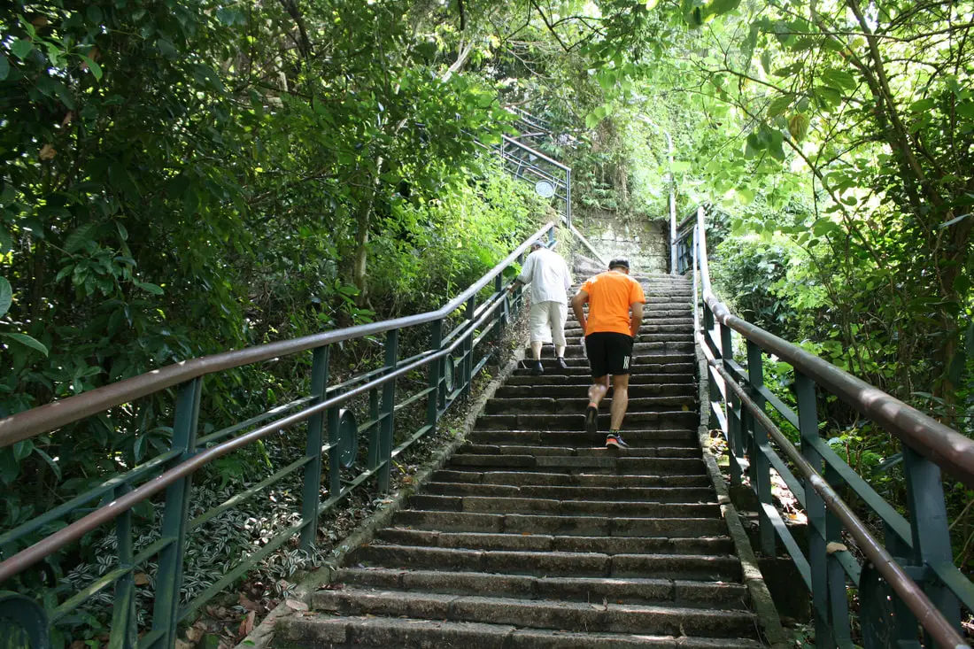
More steep steps to the top. The guy in orange was jogging up. Trail runner.
Photographer Platform 攝手平台 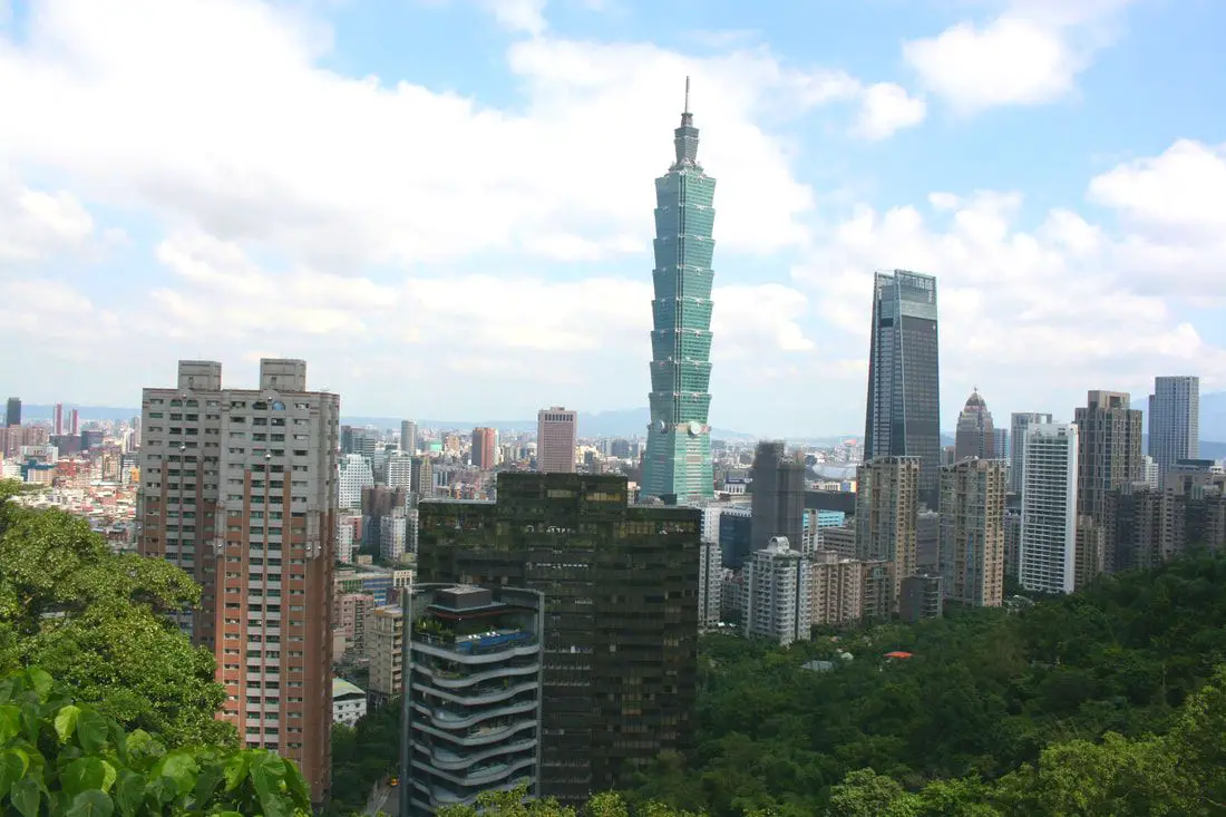
About halfway up the trail you will come to the photographer platform, which doesn't have the best view because of all the high rises in the foreground.
From here, the trail goes straight up again.
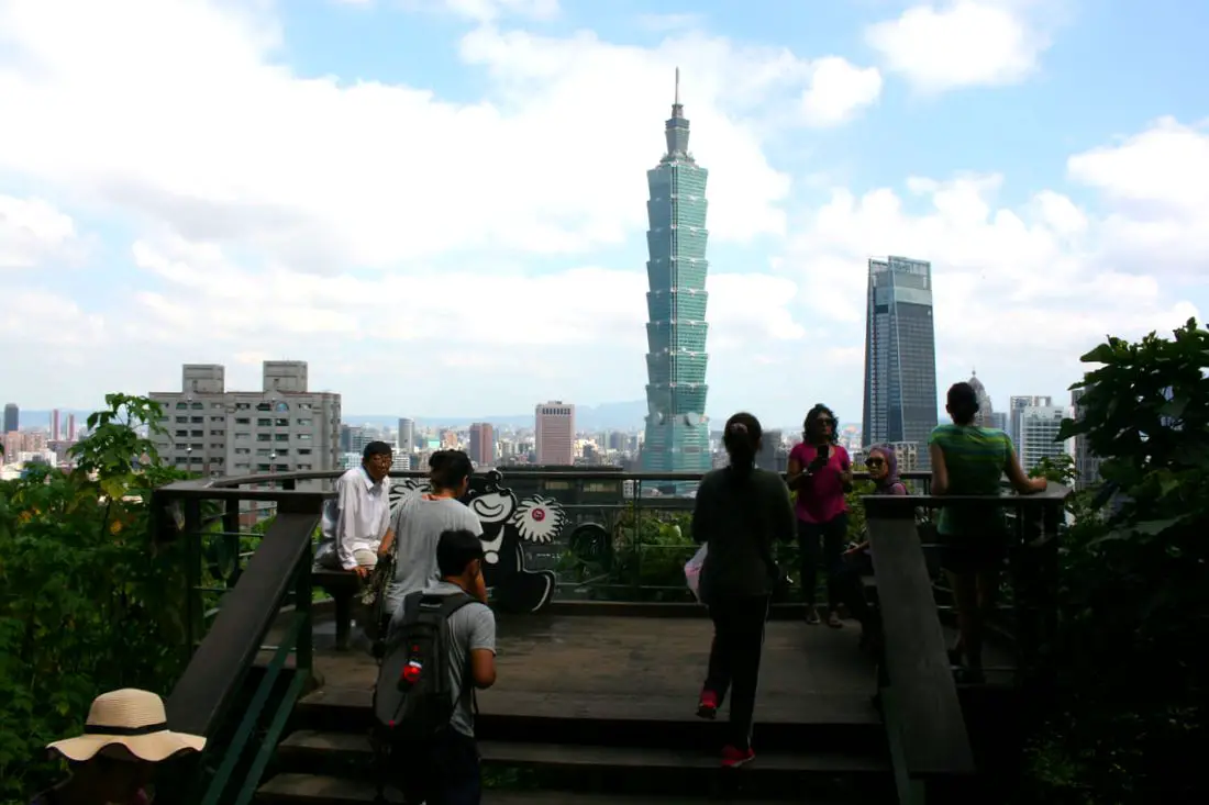
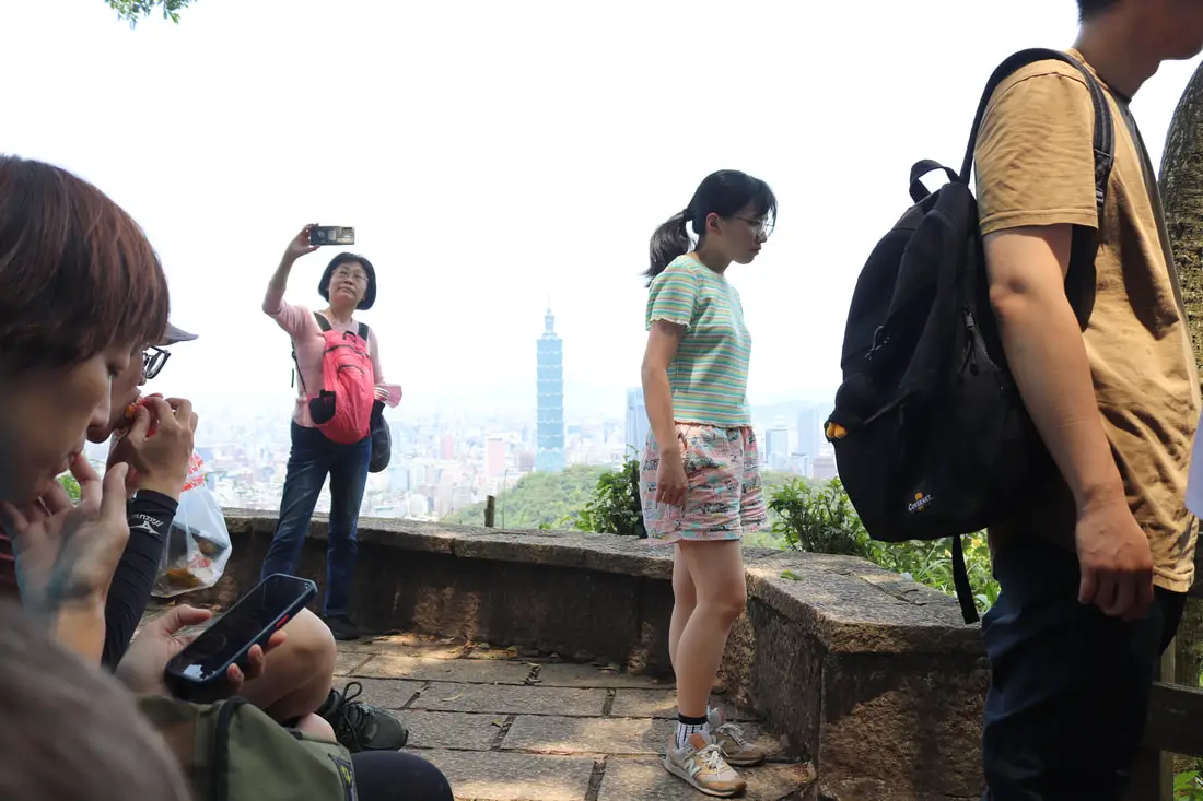
There are usually lots of people resting and taking photos here. Good luck waiting in line for a selfie.
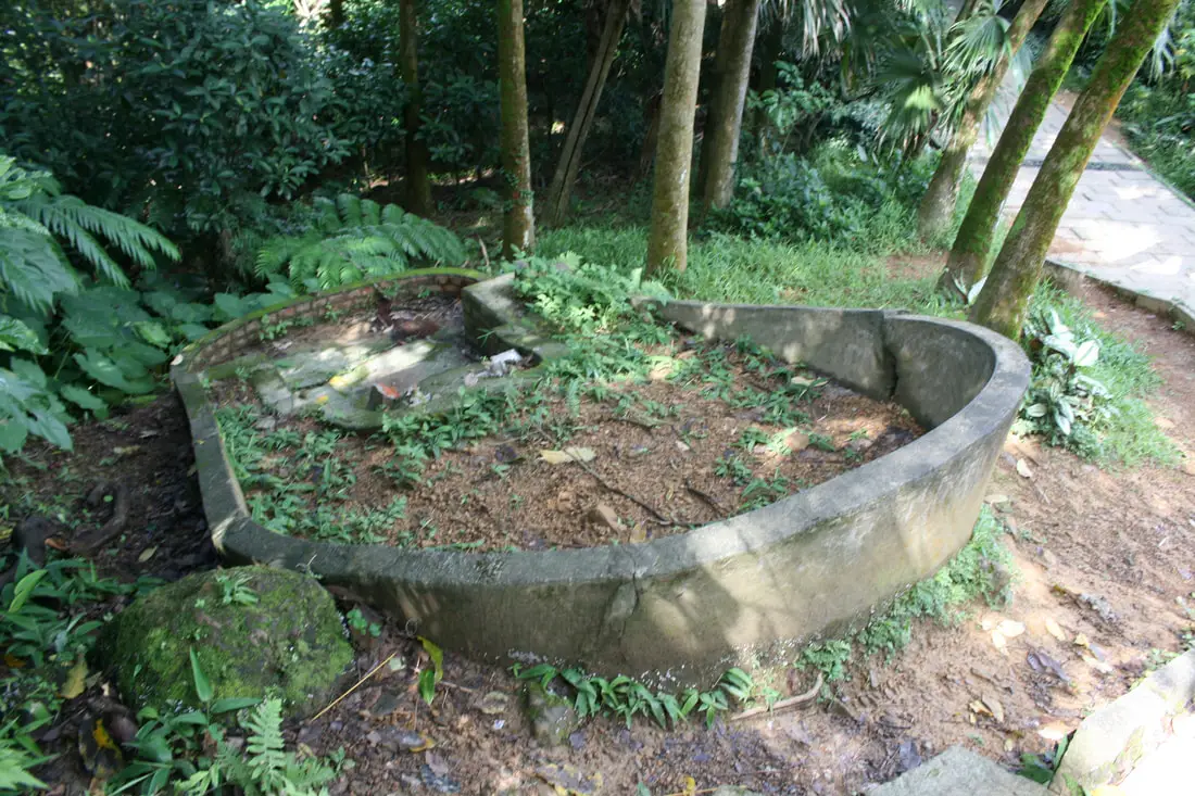
An unmarked grave on the side of the trail.
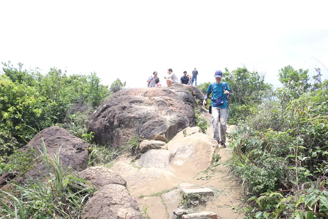
The last few steps before the six giant rocks.
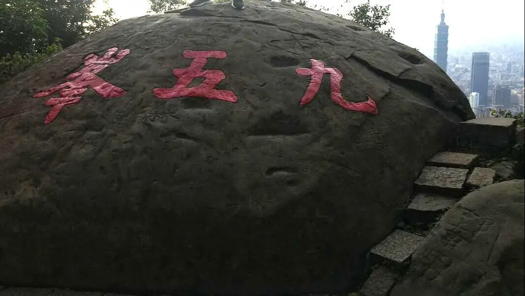
Six Giant Rocks 六巨石 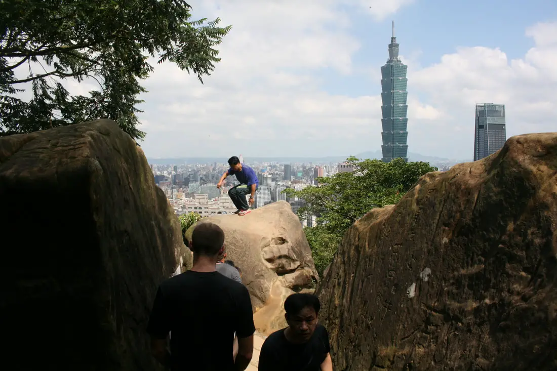
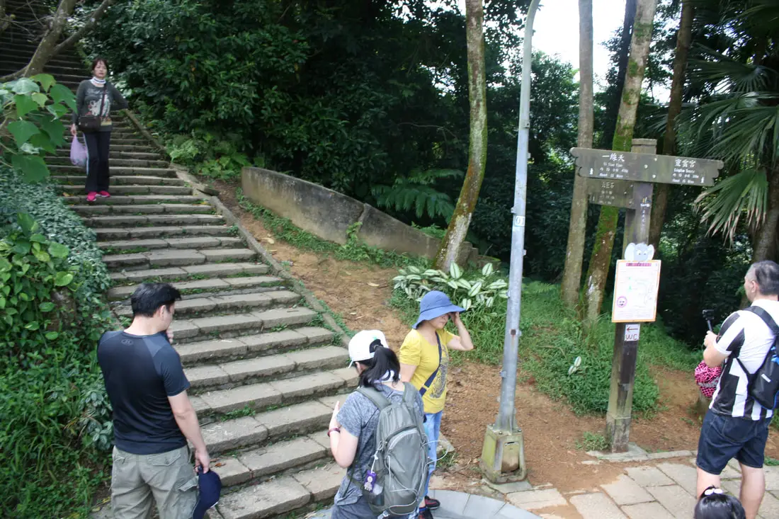
Another popular photo taking spot is on the Six Giant Rocks. Instagrammers especially love this place.
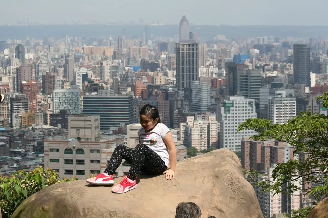
A little girl climbs on to one of the rocks.

I could not help but snap a photo of this cute pose.
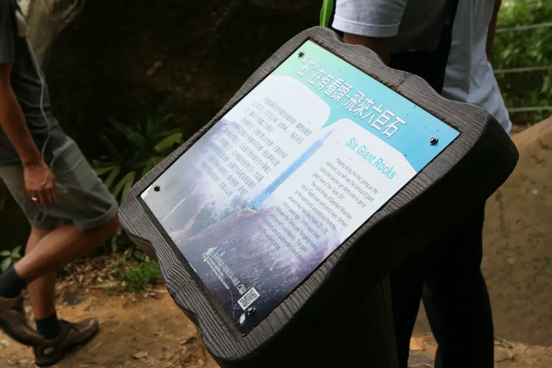
"Six Giant Rocks"
"Passing along the rail, going up the stairways, you will see the famous 6 giant rocks that people can climb onto to get a great view of the Taipei 101. The rock strata of Elephant Mountain link to Taliao layer and shiti layer, formed by the sediments scouted out from the ancient Hwa Nan land mass 22-18 million years ago. Shihti layer lined between the Taliao and Nangang layers, and has rich coal deposits. The giant boulders are of sedimentary sand stones from the ancient sea." 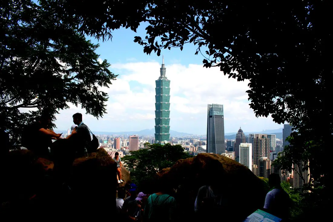
View of the six giant stone area from under the trees.
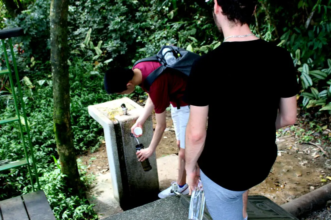
Did you already drink all your water? Don't worry, there is a drinking fountain on top of the mountian!
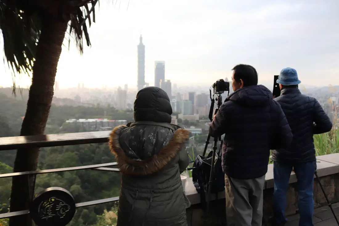
Six Giant Rocks Photography Platform 六巨石攝景平臺
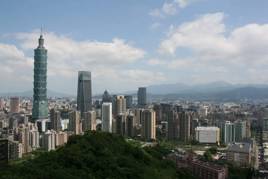
Just past the six rocks to the left you will find the photography platform with the best views on Elephant Mountain. On a busy weekend, it may hard to find a good shooting position.
I have never not seen instagrammers taking selfies here.
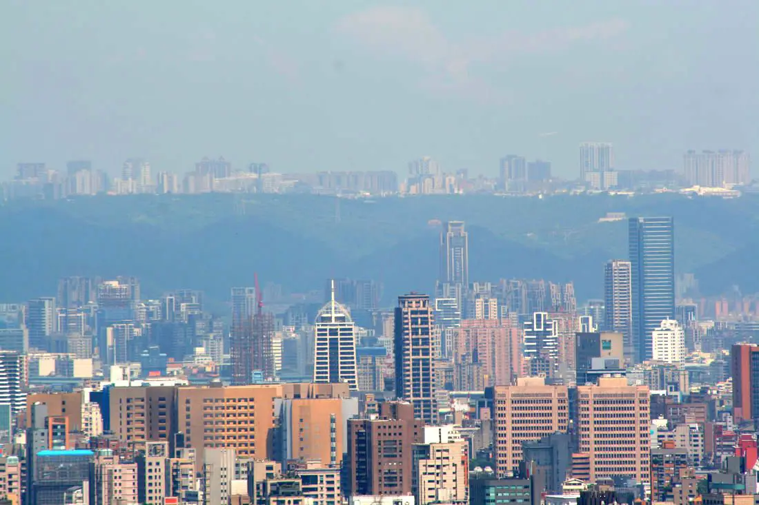
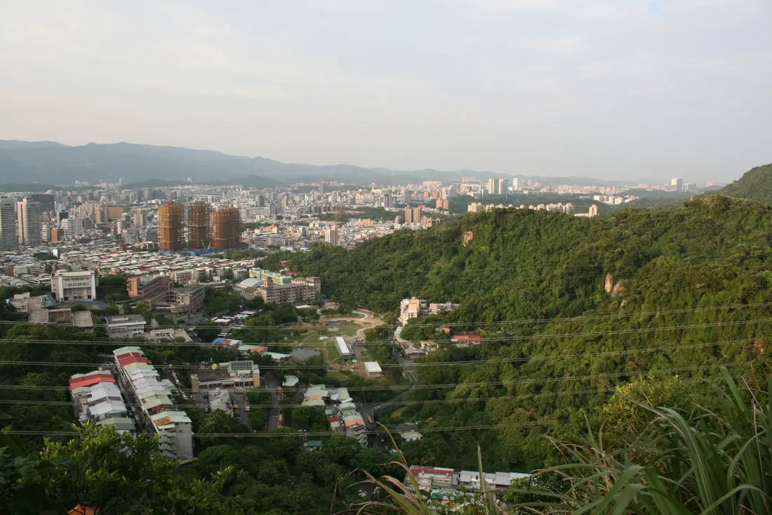
View looking toward southern Taipei.
Looking toward northern Taiepi.
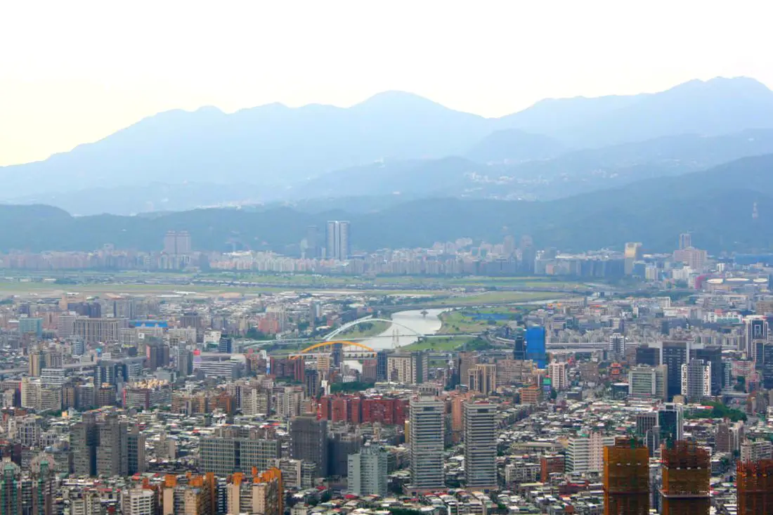
Looking toward Nangang and Xizhi in east Taipei.
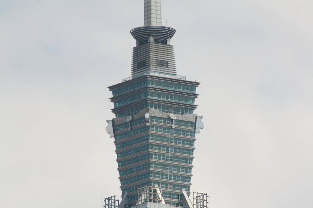
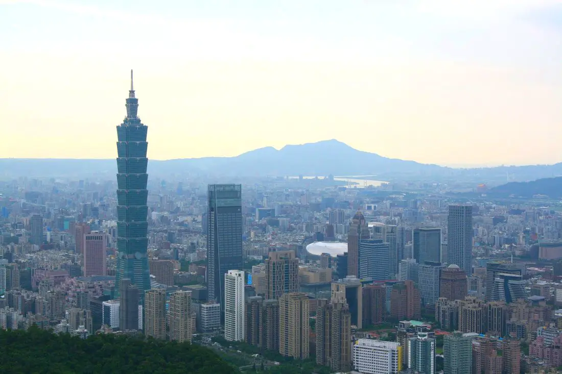
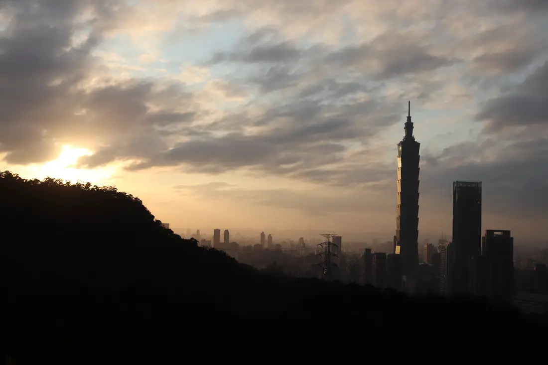
Closeup on the top of the 101.
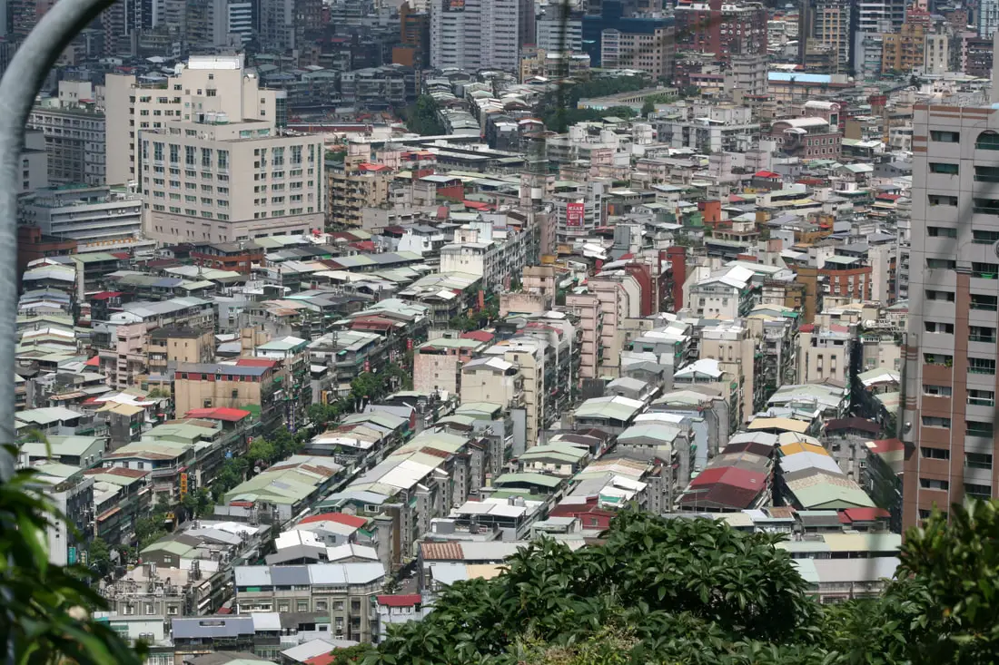
Looking down at the old neighborhoods in Xinyi District.
View of the high-rises on the hills of Tamsui District.
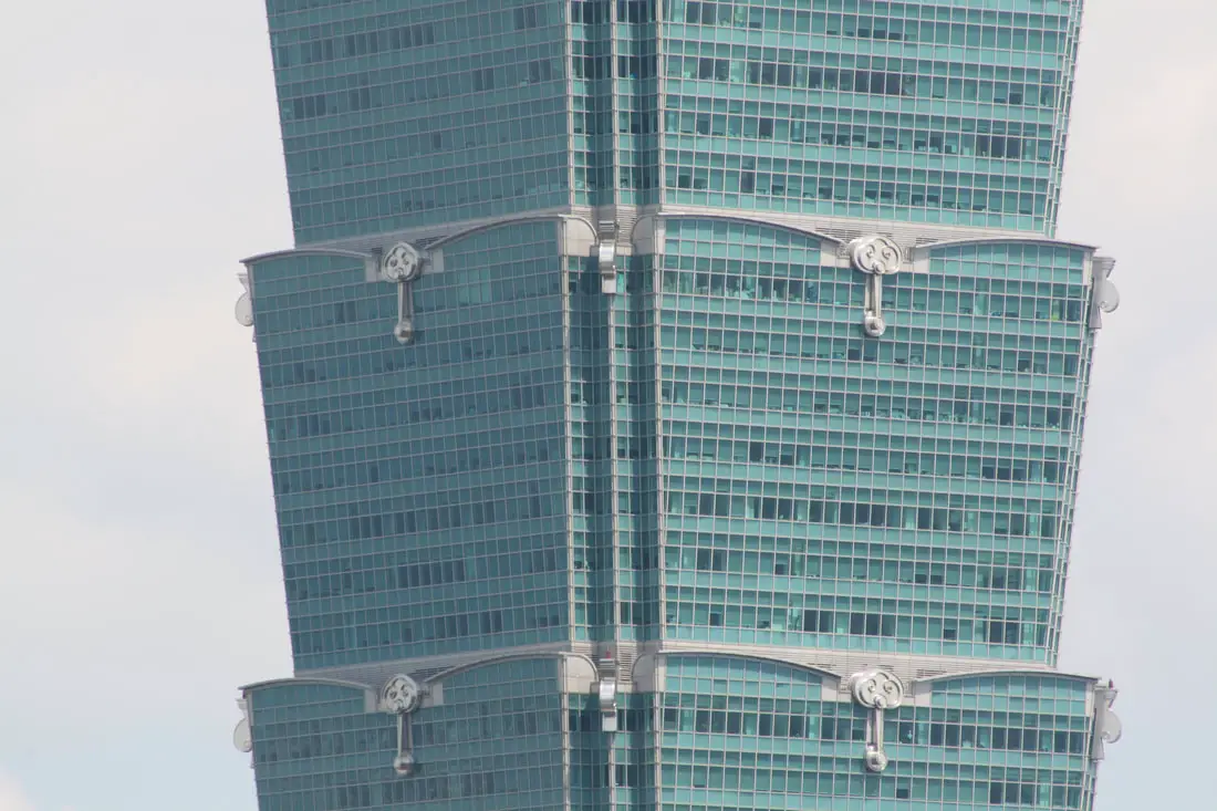
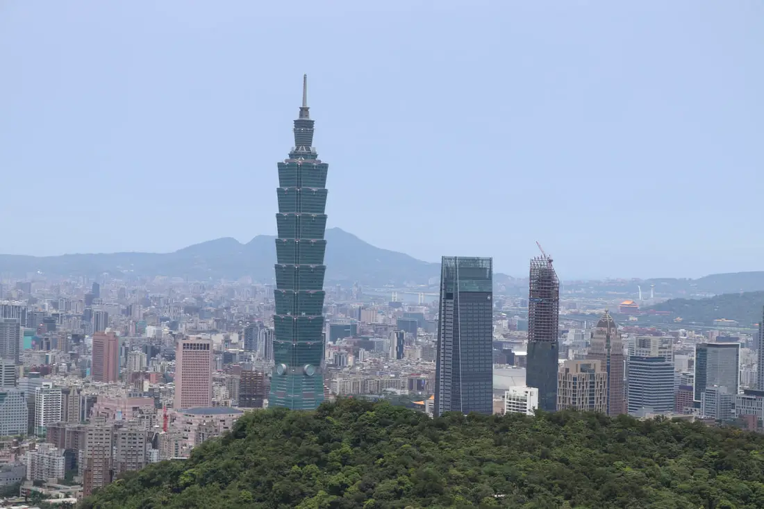
Closeup of office space on the 101 Tower.
Closeup of Xinzhuang and Linkou on the hill in New Taipei.
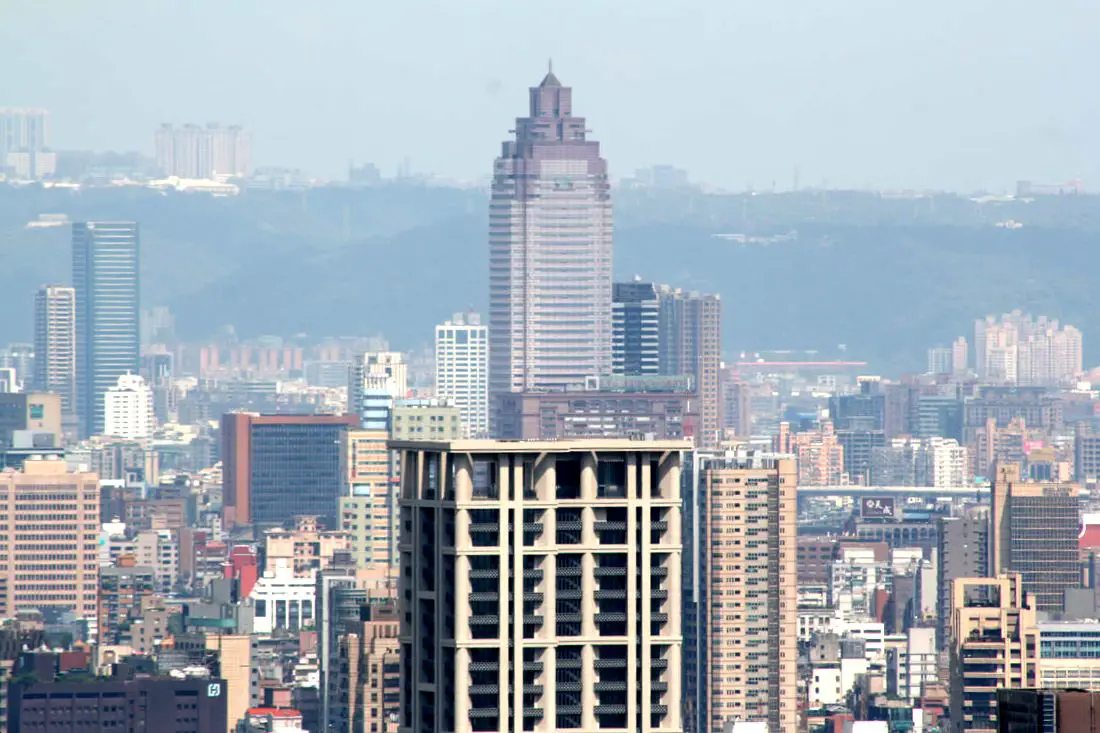
Looking at the Shinkong Life Tower and Wugu District of New Taipei in the background.
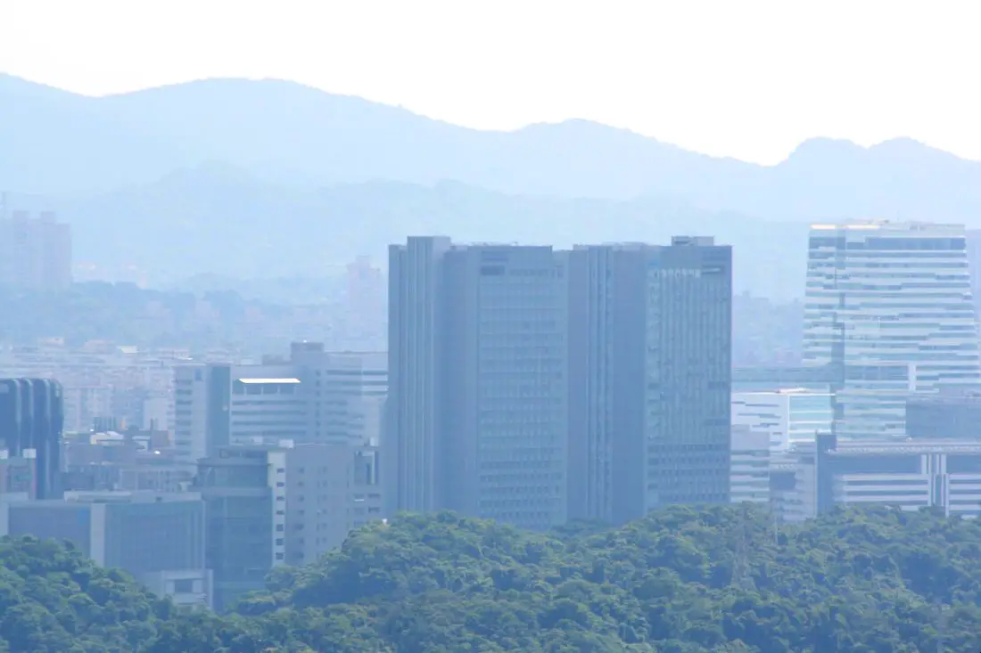
Wahsed out view of Nangang Station and the CTBC bank tower in Nangang.
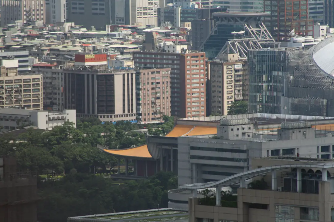
View of the Sun Yat-sen memorial.
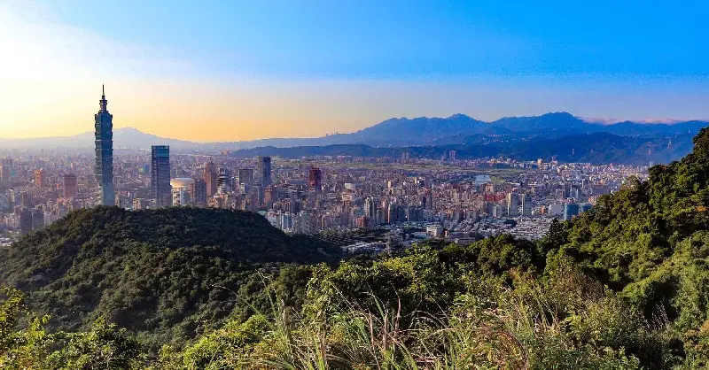
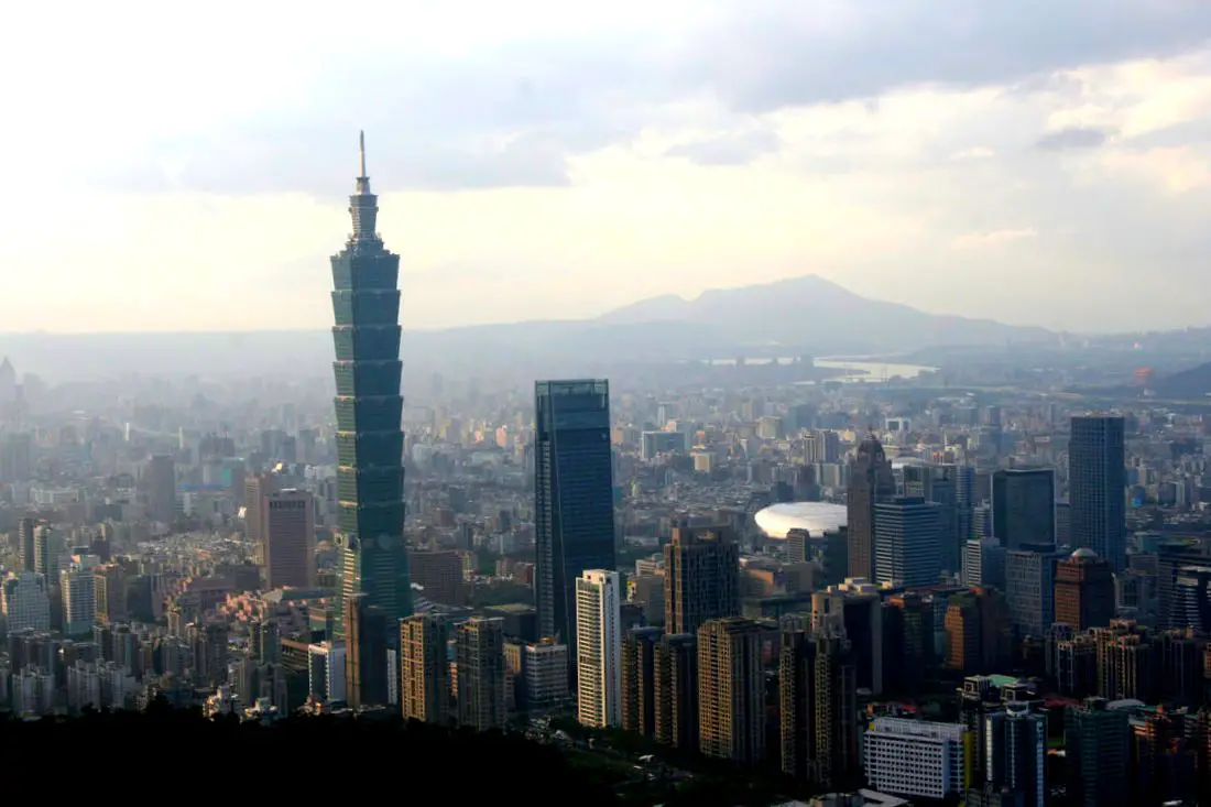
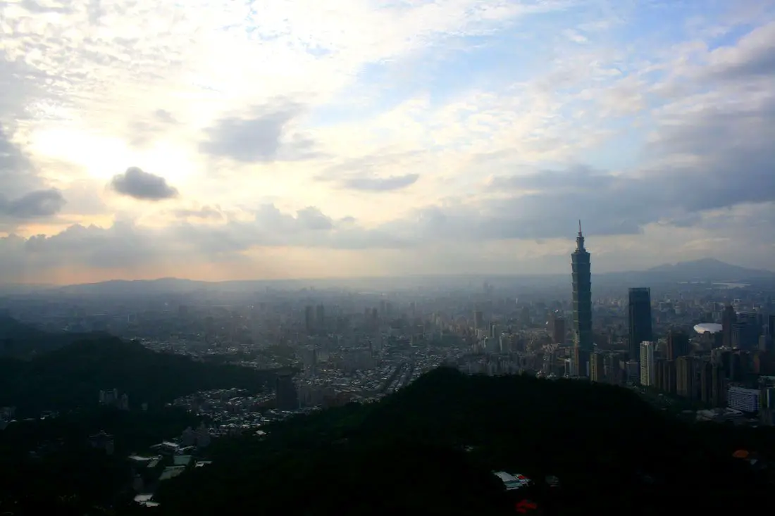
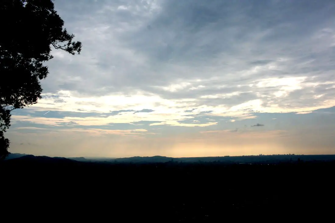
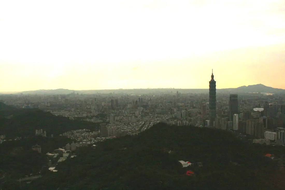
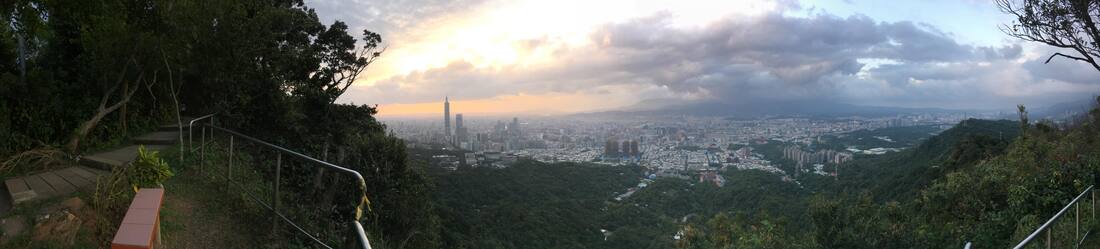
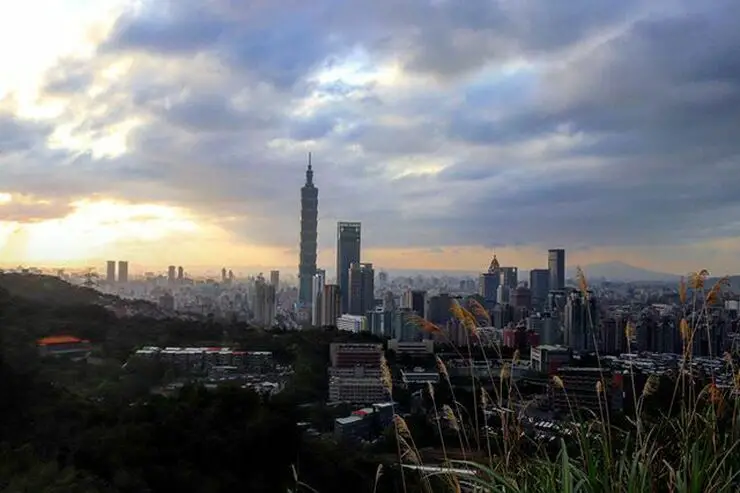
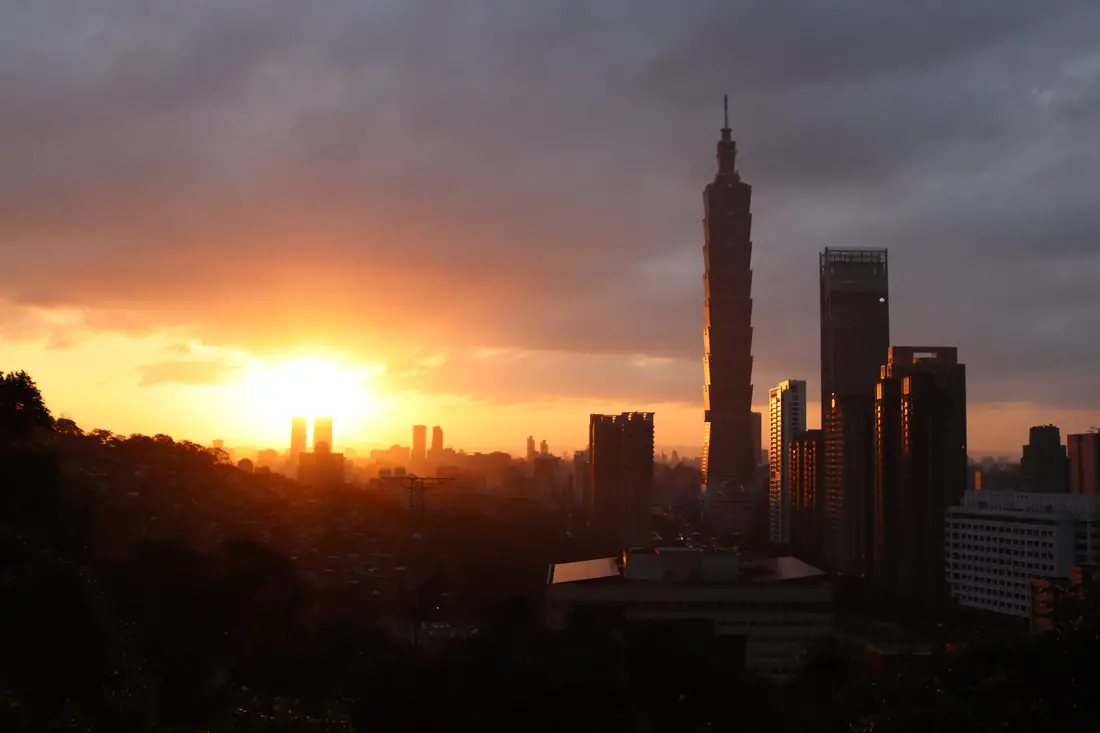
Elephant Mountain is also a great place for watching the sunset.
Chaoran Pavilion 超然亭 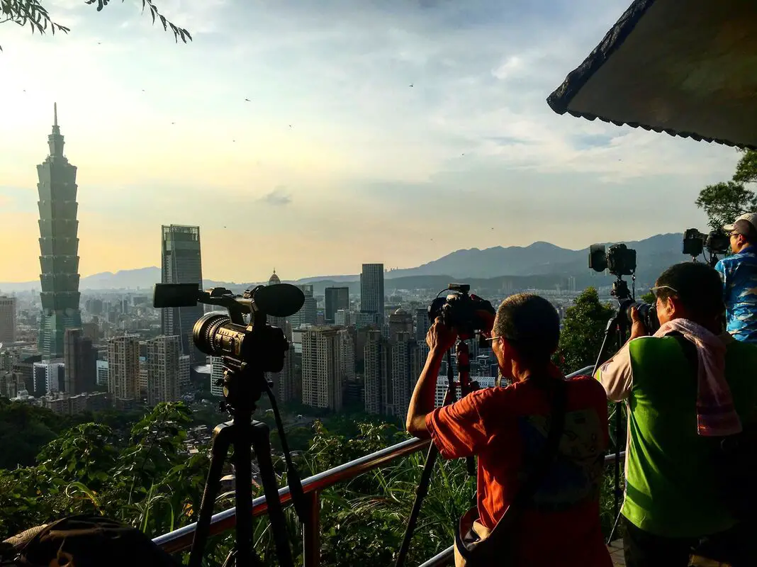
Another popular photo stop is at Chaoran Pavilion. Here you can see excellent views of the sunset.
For more photos from Elephant Mountain, check out the gallery above.
View of the main trails on the Nangang Mountain Chain. But there are many more that are unmarked.
Nangang Mountain Trail 南港山步道 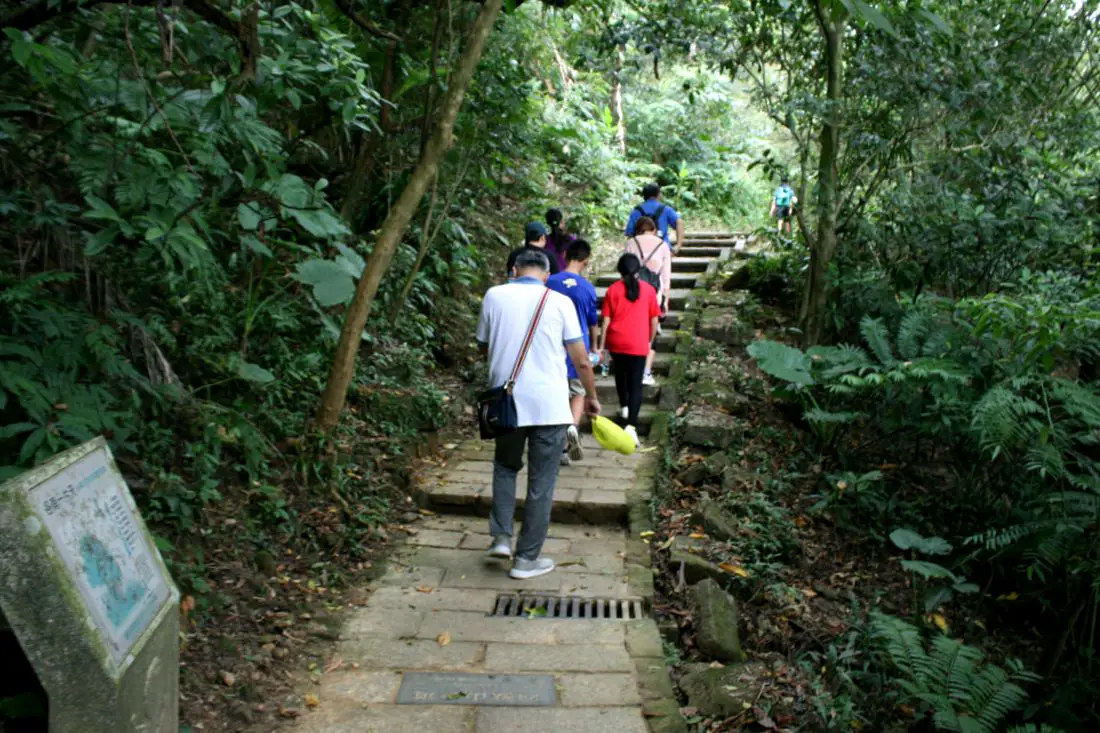
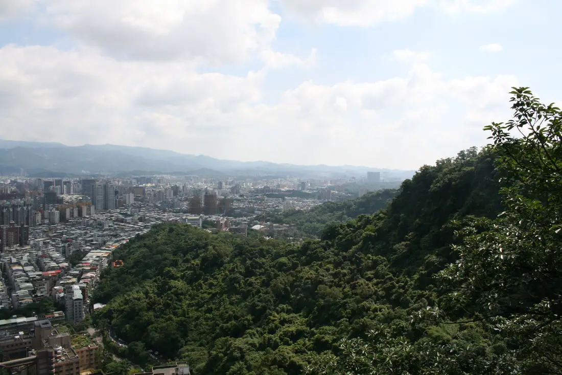
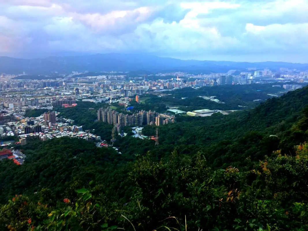
If you keep going up the mountain trail you will come to the Nangang Mountain part of the four beasts trail, which is all really one big trail system.
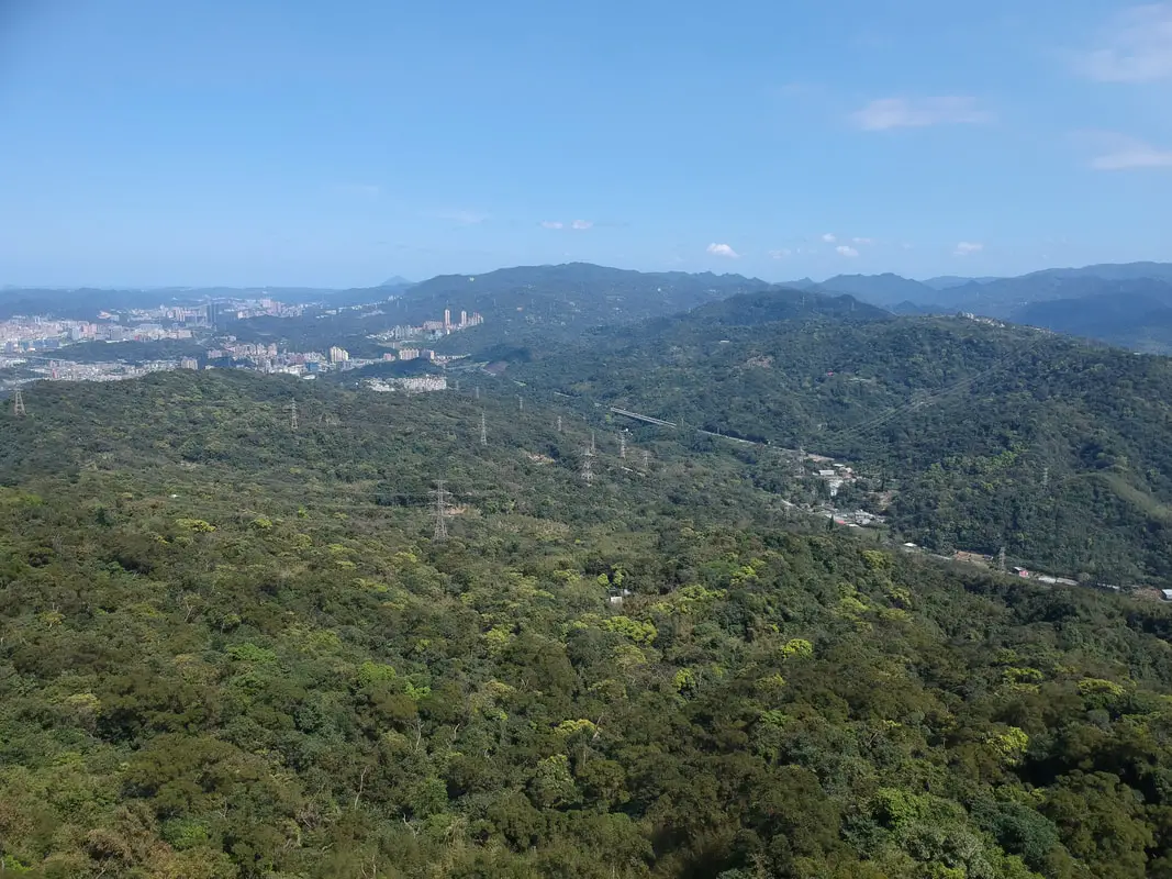
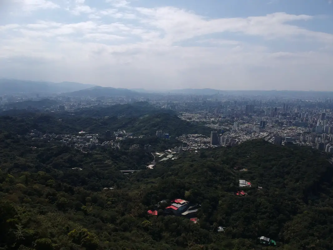
The Nangang Mountain trail goes higher up the mountain which means you can see more, but you are further away from the 101. This is a small rest area right below Thumb Mountain.
A wider view from the same rest area.
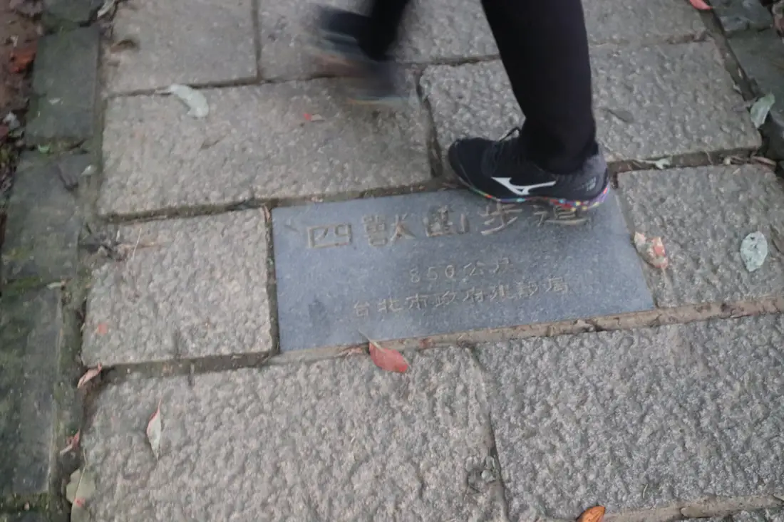
Notice the "四獸山步道 Four Beasts Trail" written on the ground.
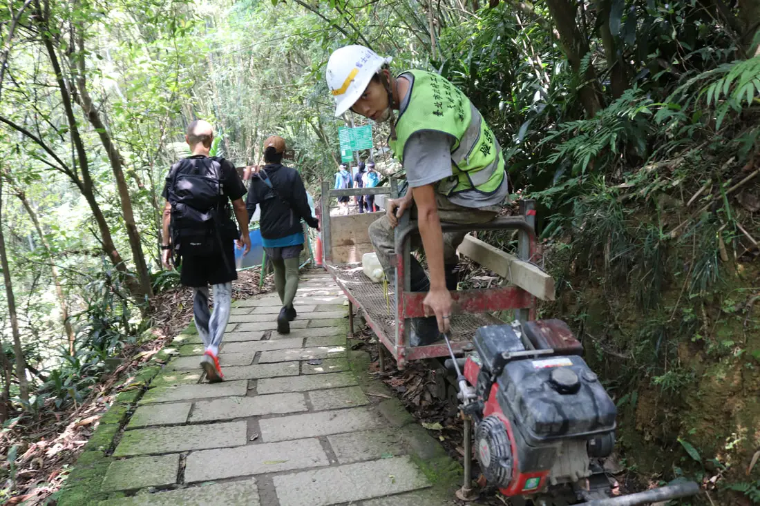
This is how they fix the trails, with this rail cart thing.
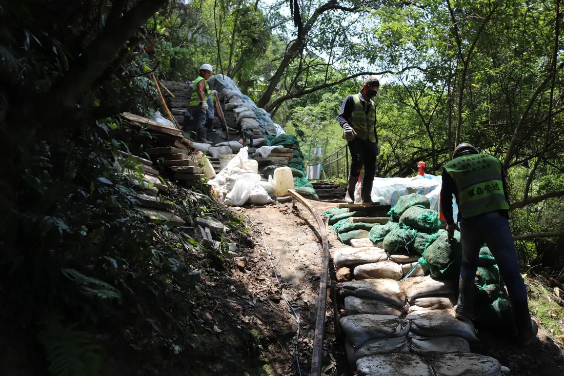
They carry lots of concrete and sand to the site.
Another view of the rest area.
View from the same rest area below Thumb Mountain.
Closeup on the 101.
Nearby you can connect to the Miaogaotai Trail, which overlooks the Xinyi Expressway, Elephant Mountain, and Xinyi District of Taipei. It does not loop with the Four Beasts Trail, so we have made a separate blog for it.
Check out our full blog to the Miaogaotai trail here. 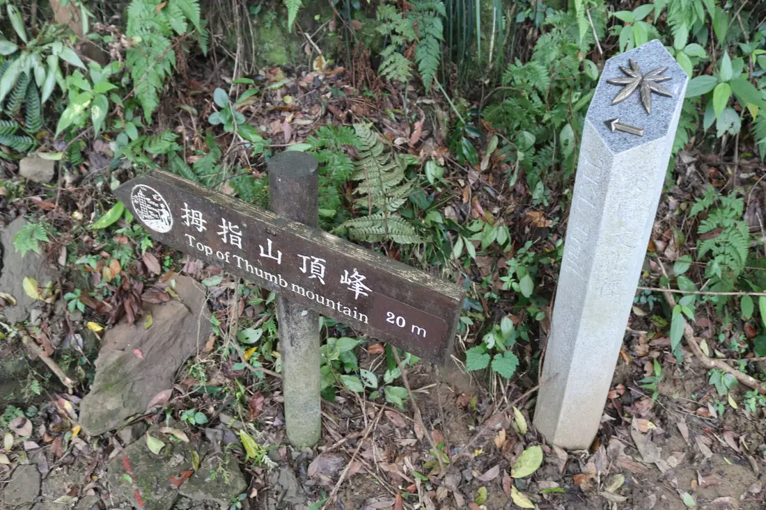
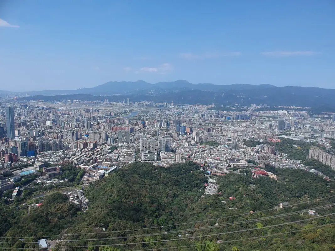
Just up from the fork to Miaogaotai you will find a sign to Thumb Mountain, which has the best views of Taipei on the whole trail.
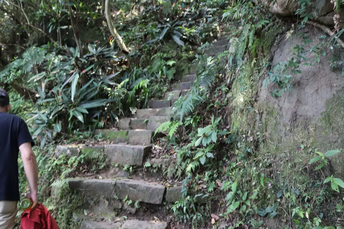
There will be some steps leading up on the right.
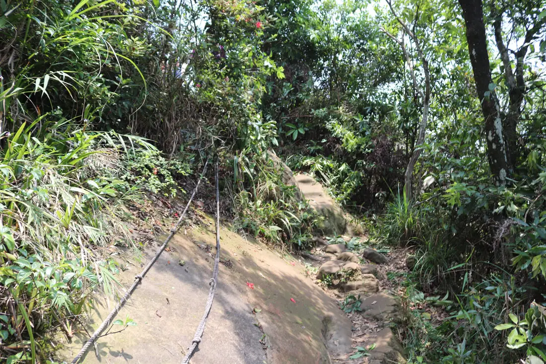
You will then need to do some rope climbing along steep rocks.
Then you will make it to the top.
First view of the 101 from Thumb Mountain.
Thumb Mountain 拇指山 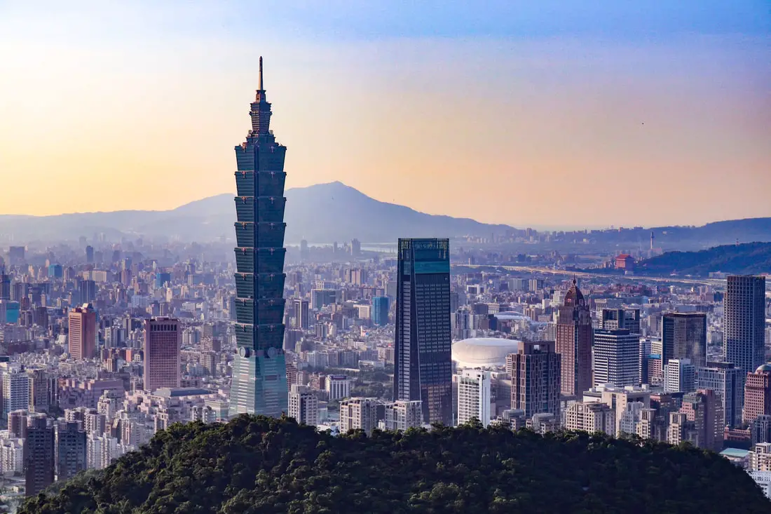
Thumb mountain has some of best views on the whole trail system, if not the best view. It includes a bald rock face and a wide open area to enjoy the views. The trail up there can be hard to find. It is on behind a sheer rock face a and shrine on the way between Elephant Mountain and 95 Peak.
Check out our drone video of Thumb Mountain above.
We didn't do a drone video of Elephant Mountain because it is restricted airspace.
See a 360 degree view of Thumb Mountain above.
Here is another 360 degree view that got messed up because it was so windy.
Aerial view from Thumb Mountain in Taipei. I would have never known about this place had it not been for the expert blogging of @goteamjoshphoto who discovered this mountain.
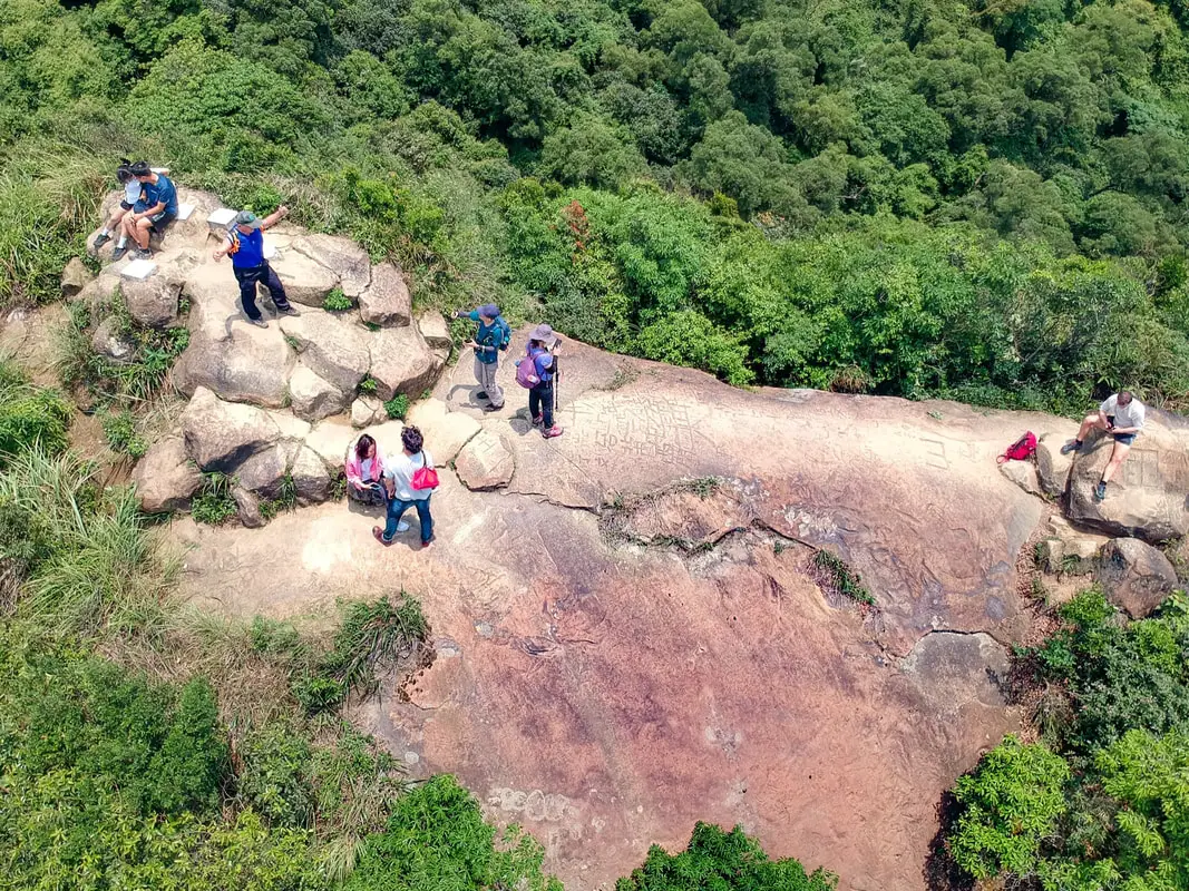
Aerial view of the top of the mountain, which is bare and exposed sedimentary rock, and which people have taken the liberty to carve graffiti into. The hike up the rock is steep and requires ropes.
See more photos from Thumb Mountain in the gallery above.
Panoramic view from Thumb Mountain.
View to the south from near Thumb Mountain.
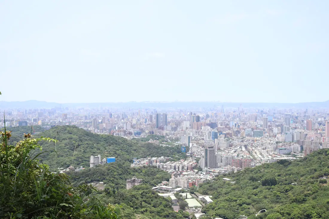
Right before you hit 95 peak, there is a rest area with probably the best views of the whole mountain.
View of Taipei at dusk, with mount Guanyin and the Tamsui River in the background.
Another view from the same place on a different day.
Another view from the same place.
View of north Taipei.
View looking toward Yangmingshan National Park, with the Keelung River in the foreground.
Another view looking south.
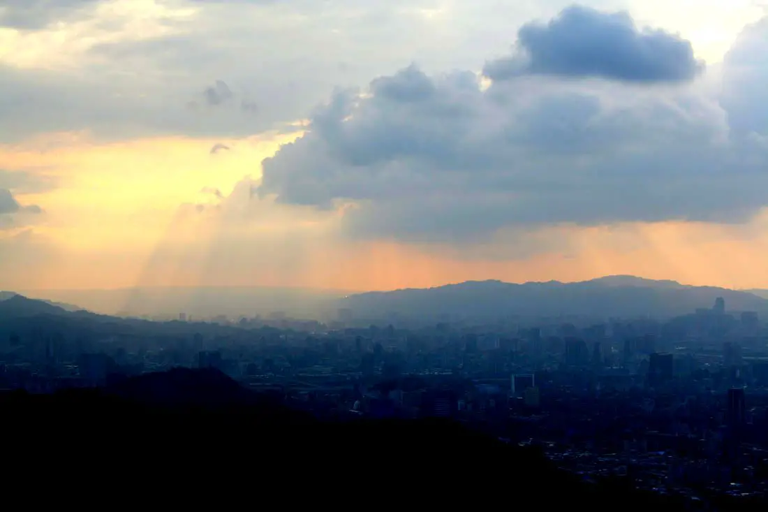
Sunbeams over Sanxia.
Another view later in the evening.
Another view from the same place.
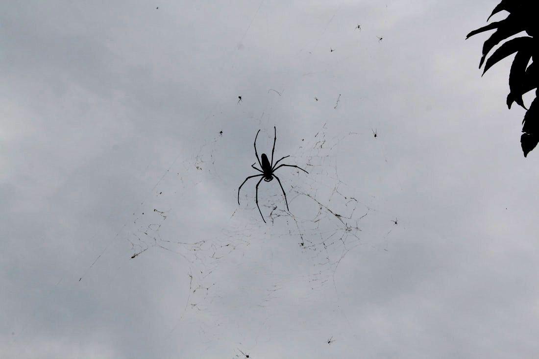
Don't be afraid if you see lots of huge spiders on the trail, but make sure you don't get your head caught in their webs.
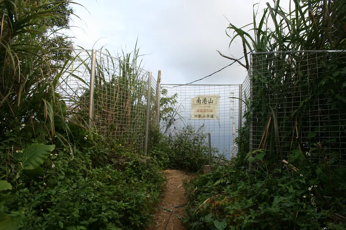
95 Peak 九五峰 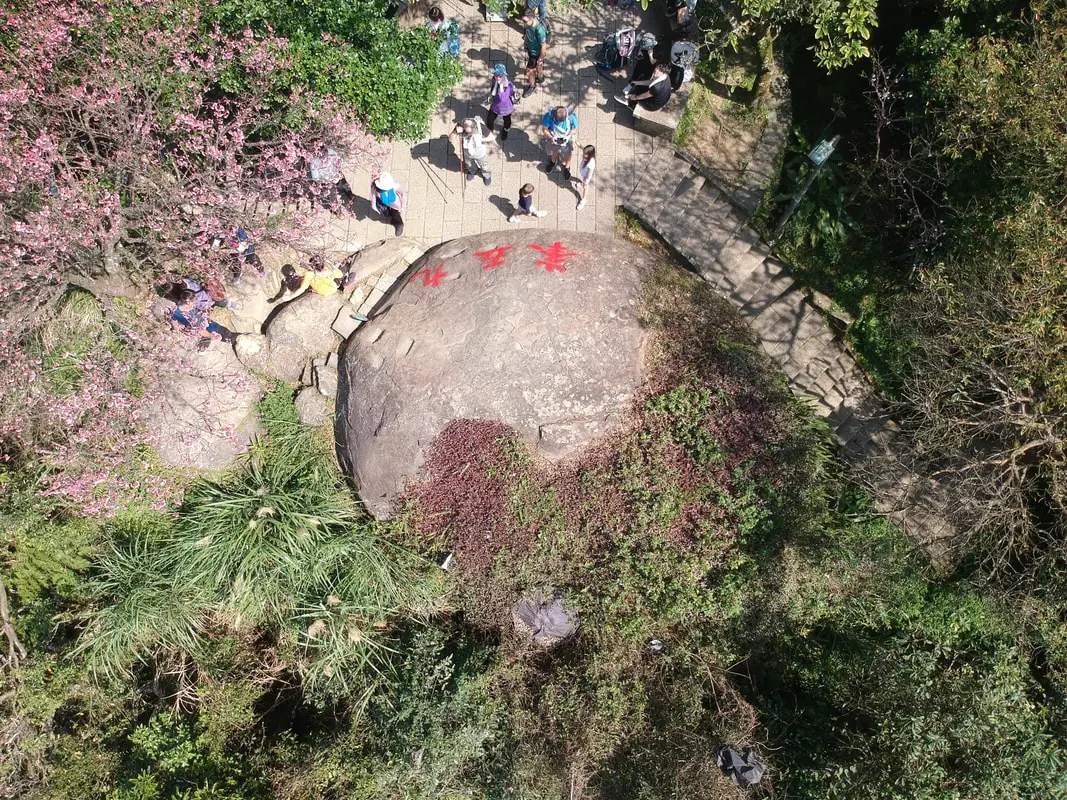
The tallest point on the mountain Chain is 95 peak. Most of the trail is covered in trees around it so there isn't much of a view.
However if you use a drone you can see what you are missing here. If you do fly a drone on the mountain, make sure you stay below 65 meters from the ground, above which is restricted airspace.
Check out our drone video of 95 peak above.
You can also check out a 360 degree view of 95 peak above.

The tallest point on the mountain Chain is 95 peak. Most of the trail is covered in trees around it so there isn't much of a view.
On top of the mountain is a giant rock with the words "九五峰" meaning 95 peak. This peak was named after an exercise group that had a 95 year old man climb to the top.
View from the top of 95 Peak.
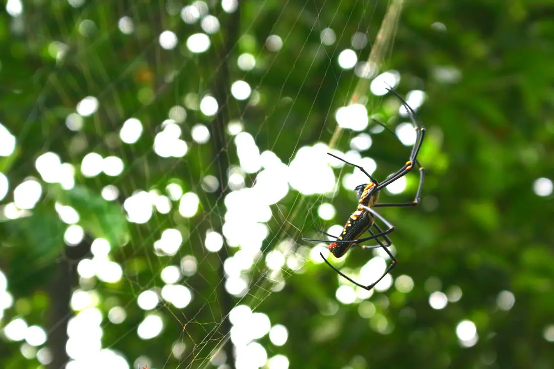
Another giant banana spider.
View of eastern Taipei from near 95 peak.
Mt. Nangang 南港山 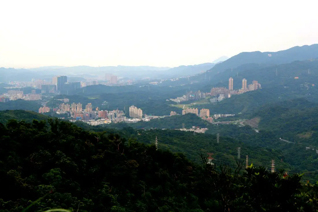
View of Nangang and Xizhi from the other side of the mountian.
Mt. Nangang Sits just east of 95 peak, only a few meters shorter than it. 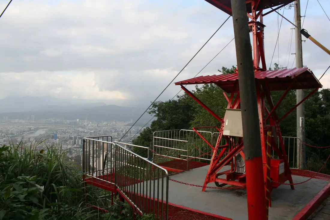
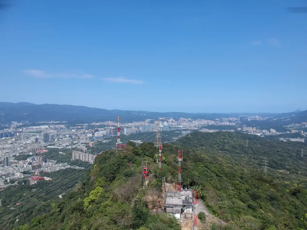
On top of Mt Nangang are some radio towers and equipment.
In 2014 a woman died while climbing Mt. Nangang, losing her footing while climbing a rope, falling 100 meters to her death (the only death I know of on the mountian). This may be why the top of the mountain is closed off.
As you move further east on the trail, there are still great views to be had of Taipei.
Check out our 360 degree view from Mt. Nangang above.
Looking at Nangang from Mount Nangang.
View north from Mt. Nangang.
View East of Nangang looking at Shenkeng.
View south of Mt. Nangang.
As you move further east on the trail, there are still great views to be had of Taipei.
Panorama of east Taipei.
View of Nangang from near the end of the trail.
Near China University of Science and Technology at the end of the trail, there is a great spot to see the sunset. More photos are shown above.
Check out our drone video of the area above.
You can also see a 360 degree view of the area above.
You can see more of our drone photos in the gallery above.
Last view of the Sunset before I headed down the backside of the mountain toward China University of Science and Technology in Nangang. I like hiking up this route because it is much closer to where I live than the Elephant Mountain entrance.
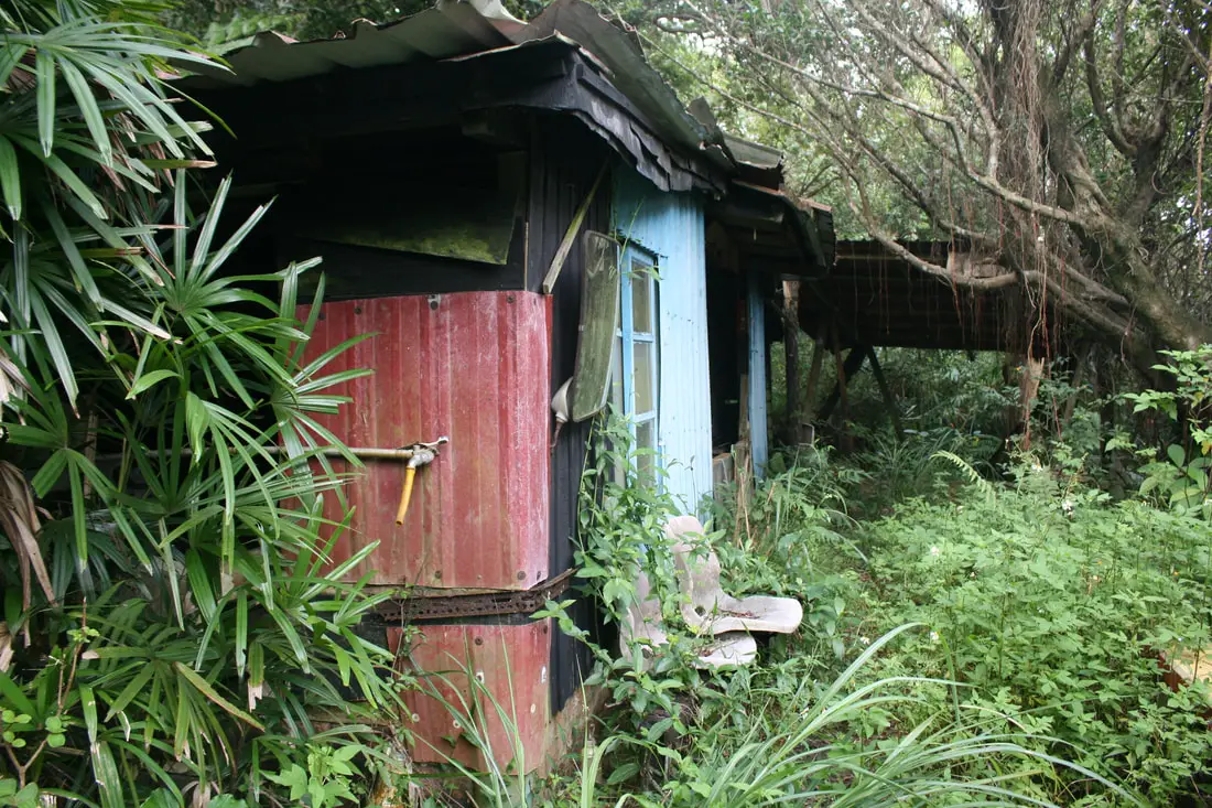
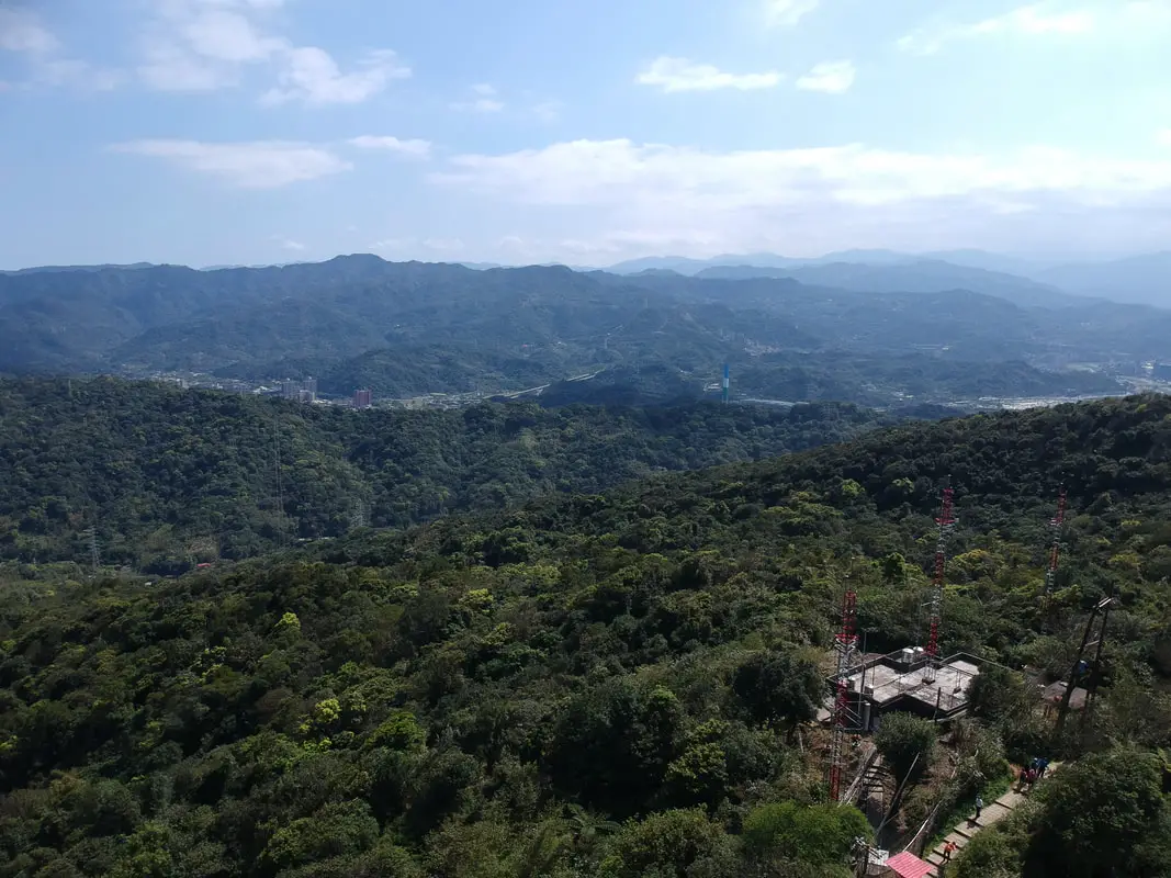
On the backside of the mountain is an endless maze of trails and private agricultural land, as well as some abandoned farming huts.
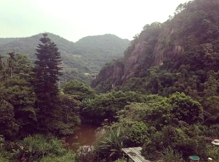
There are not really any goof views on the backside of the mountain, just lots of agricultural land and elderly people planting vegetables.
Four Beasts Trail 四獸山步道 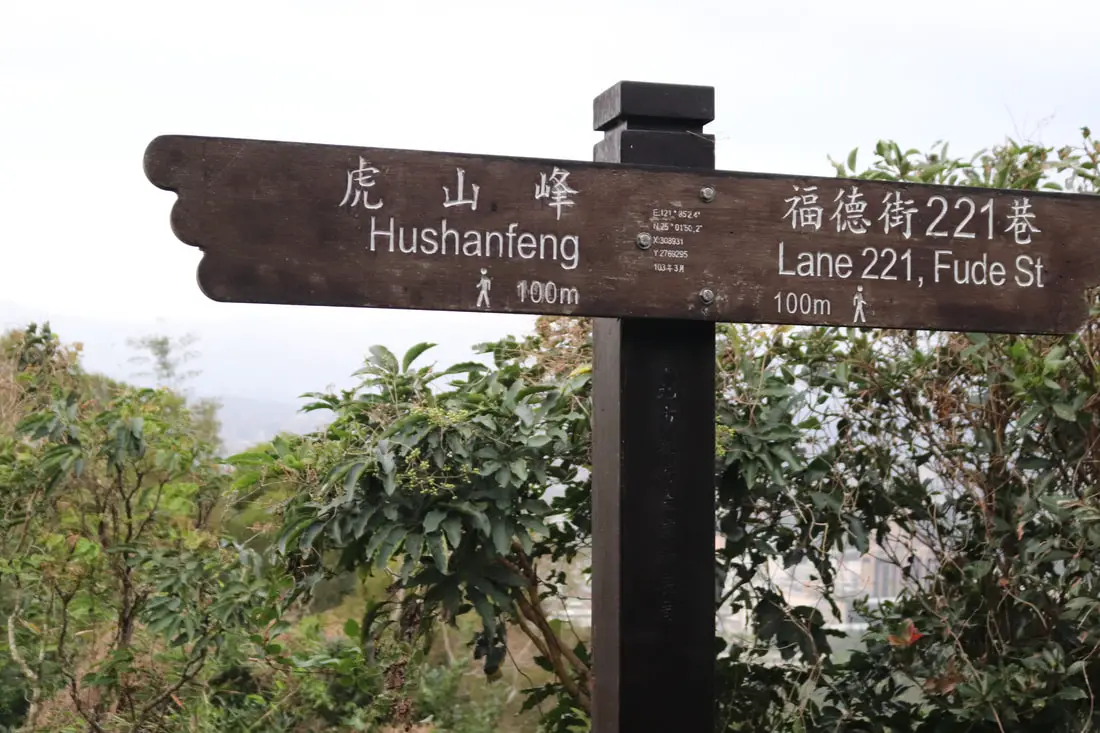
While Thumb Mountian, Nangang Mountain, and 95 Peak are on the highest part of the Nangang Mountain Range, the four beasts are actually on the lower hills facing the city.
Tiger Mountain (Hushan) 虎山 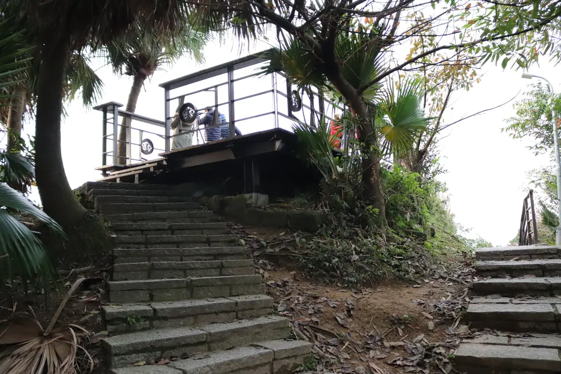
The four felines on the mountain are close together, connected by roads and trails. The lookout on Tiger Mountain is right near a paved road.
You can usually find tons of people taking photos here.
Another view from Tiger Mountain.
More photos from Tiger Mountain in the Gallery above.
Check out our video of the area above.
You can also see a 360 degree view above Tiger Mountain above.
The trail then crosses back and forth on paved roads.
Leopard Mountain 豹山 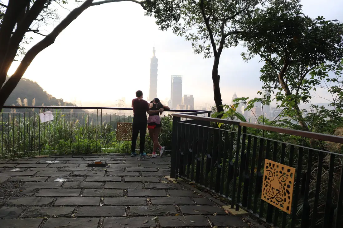
Platform from Leopard Mountain, not far from Tiger Mountain.
Check out our 360 photo of Leopard Mountain above.
Sunset seen from Leopard Mountain.
You can see more photos of Leopard Mountain in the gallery above.
Lion Mountain 獅山 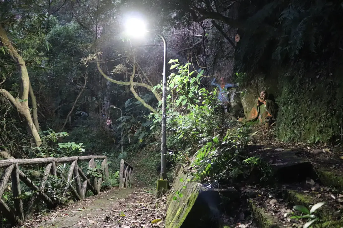
Lion Mountain is actually the most sketchy and hard to get to. I had to walk behind a temple and basically rock climb up a non existent trail, with parts of concrete on the trail missing entirely. Also there were some creepy looking Buddhist statues along the trail to greet me.
The trail then goes to the top of a hill, through a farmer's field. I was chased by no less than two wild dogs.
But finally I reached the lookout with the help of Google Maps. A fall from the ledge on Lion Mountain could kill you, which is probably why they make it so hard to get to.
More photos from Lion Mountain above.
Yongchungang Park 永春崗公園 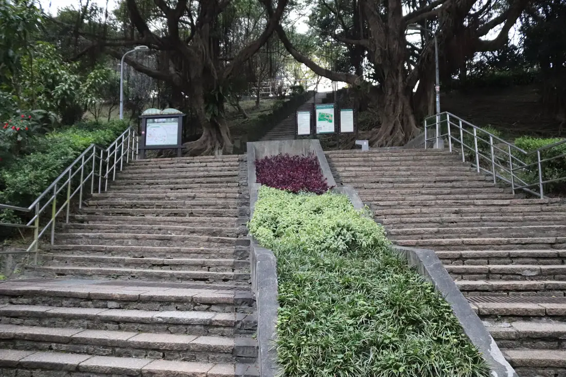
Yongchungang Park also lies along the trail, and has some amazing views.
View of the sunset from Yongchungang Park.
More photos of the park above.
Bonus: Songshan Mines 松山煤礦 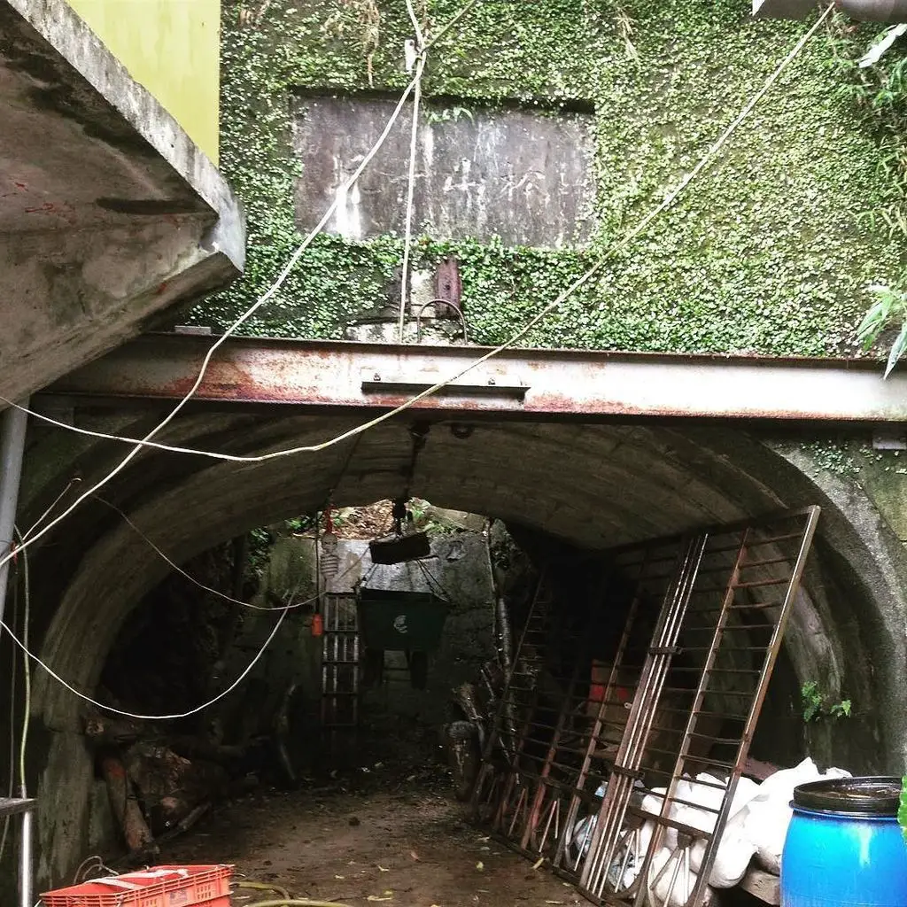
Near the three feline peaks, you can also find the remains of some coal mines, the three Songshan Mines. Songshan is another name for this area, which was used in the past, but now it is mainly used for the flat district of Taipei near the airport for some reason.
Songshan 1st mine, now filled in and made a storage shed for a local Taoist temple. 松山一坑 現在填滿,現在當作附近廟的倉庫 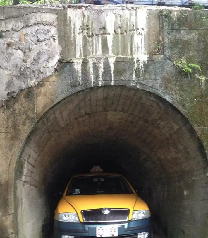
Songshan 2nd mine in Xinyi district, Taipei. Now someone's personal parking space. 松山二坑 在 信義區,現在是某個人的私人停車位
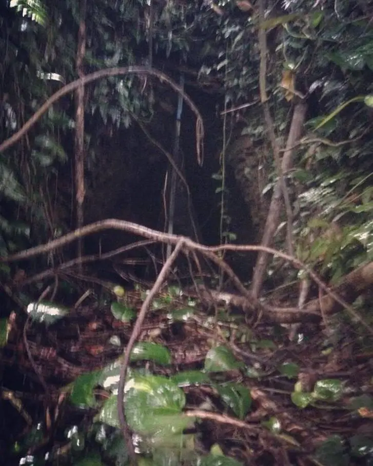
The exit of #Songshan 3rd mine tunnel, now overtaken by nature in the hills of Xinyi District. 松山三坑 隧道口,現在在信義區,被大自然蔓延.
Sorry, it was dark, hence the blurry photo. To get here I had to bushwhack through the woods behind a temple. Don't forget that there are many activities available in Taipei such as Indoor Skiing, Rock Climbing, Hiking, Wakeboarding, Surfing, Speedboat Surfing, SUP / Paddle Boarding, Diving, Snorkeling Kayaking, Canoeing, Water Biking, River Tracing / Canyoneering, ATVing, Horse Riding, Cooking Class, Archery, Ice Skating, Roller Skating, Tree Climbing, Urban Camping, Glamping, Motorcycling, Motorbike Tour, and more on Tripadvisor here, Klook here, or KKday here. For other blogs on this trail, see here and here. Check out our Taipei hiking and trails guide here. Check out our full guide to Nangang here. Check out our list of the best views of Taipei here. Also be sure to check out our guide to Taipei here. You can also check out our full travel guide to Taiwan here.
2 Comments
James Chan 詹前昱
2/15/2022 02:54:13 pm
Thank you for the wonderful travel journal.
Sharon Kent
10/30/2023 10:50:01 am
Thank you for your beautiful and detailed description of the 4 best mountains. Is there any public rest room along the trails? Thank you. I just recently discovered your blog posts because I will travel to Taiwan in November, 2023 and looking for information about Taipei. Your comment will be posted after it is approved.
Leave a Reply. |
Author 作家I am an American expat who has extensive experience living, working, and traveling in Taiwan. In my day, I had to learn many things about Taiwan the hard way. But I have come to learn that Taiwan is one of the best places in the world for Foreigners to live. This blog does not represent the opinions of every foreigner in Taiwan. I am just trying to help others learn more about this beautiful country. Categories
|
 RSS Feed
