

Nangan is the largest Island in the Matsu Archipelago. Besides being the main transportation hub to the other islands in Matsu, it also has traditional stone house villages, military museums, a giant statue of Mazu, a variety of local food, and much more to explore.
Background: Thousands of years ago, stone aged peoples once inhabited the Matsu Islands, including Beigan Island itself. These stone aged people later disappeared. The Matsu islands were inhabited again around the Song Dynasty (990 - 1200 AD) by Chinese Fisherman, the descendants of whom still inhabit the islands today. Because the Goddess Mazu's corpse washed ashore on this island, Nangan is also known as Matsu Island. During the Chinese Civil War, Matsu was used as a military outpost for the retreating ROC. During the years that followed, it withheld shelling and threats of invasion from China, helping to keep Taiwan free of communist control. In 1992 after cross straight relations had warmed up, martial law was lifted on the islands and tourists were allowed to visit. In the year 2000, a ferry link with Fuzhou started to provide constant China Mainland visitors to the island, as part of the three links with China. In 2003, the Nangan airport was completed, which made Nangan the true transportation hub of Matsu. Nangan has a population of 4,000 people, and is the largest island in Matsu in terms of population and geographical size. When to go: We recommend going between April and June when the "blue tear" phosphorescent microbes in the water will be the most visible at night. Also, winters can be cold and windy and summers very hot, and there could also be typhoons in the summer and fall. How to get there: By Boat: There are daily ferries from Taipei or Keelung that usually take an overnight trip to Nangan, passing through Dongyin Island. There are boats from Beigan Baisha Harbor (北竿白沙港) to Nangan Fu'Ao Harbor (南竿福奧港) every hour from 7 AM to 5 PM. You can book tickets between Nangan and Beigan Islands on KKday here. By Plane: There are flights to and from Taipei Songshan Airport three times a day via Uni Air. You can book flights on KKday here, Trip.com here, CheapO Air here, or Kiwi here. Price: By Boat: 500-2000 NT per person (one way from Taipei or Keelung). You can book ferry tickets to Matsu on KKday here. 160 NT per person (one way from Beigan). You can book tickets between Nangan and Beigan Islands on KKday here. By Plane: About 2000 NT (one way from Taipei). There are flights to and from Taipei Songshan Airport three times a day via Uni Air. You can book flights on KKday here, Trip.com here, CheapO Air here, or Kiwi here. Tours and Activities: Beihai Tunnel Rocking Boat: about 150 NT Blue Tears Museum: about 300 NT SUP/Paddle experience: about 2300 NT You can search for other tours and activities on KKday here or Klook here. Just to let you know, if you book using the links above, we get some commission at no cost to you, and you can help support our blog. You can click here to receive $5 USD on your first Klook purchase. Hotels: We have stayed at and recommend Fu Hwa Homestay on Nangan (you can book on Agoda here, Booking,com here, or Trip.com here), and B&B of Blueshine on Beigan (you can book on Agoda here, Booking,com here, or Trip.com here). Both places were excellent, and provided us a car ride to and from the airport for free. You can also check out our Taiwan hotels guide here. Looking for a hotel? We recommend booking through Agoda here, which provides the best quality selection of accommodation on the island. You can also book Wifi and SIM cards for Taiwan on Gigago here. Need travel insurance? Compare prices on Insubuy here. How to get around the island: Nangan is a large, hilly island and it would be very hard to get around on foot or bicycle. We recommend one of the following By Ferries: The only way to get to smaller islands without airports is by ferry. You can check KKday here for ferry tickets or buy them at the harbor. By Scooter: We recommend riding a scooter as your #1 choice. It's fast, convenient, and there isn't much traffic on the island. A scooter will cost about 500 NT per day to rent. You can rent a scooter on Klook here or KKday here. When braking on hills, use both brakes, otherwise, you could lose traction on one tire and skid. Don't stop or park on a slope. Also, some hills that are too steep are closed off for scooters. You can also check out our scooter rental guide here. By Car/Taxi: You can rent a car or hire a taxi for 200O NT per day. If you are looking for car rentals, you can also search Qeeq here, Klook here, or KKday here. You can also check out our car rental guide here. By Bus: There are buses that go around the islands, but wait times can be 30 minutes or more. By Bicycle: Cycling is the best way to enjoy Taiwan's landscapes if you have the time and energy. Looking for bicycle rentals in Taiwan? You can search on KKday here and search for tours on Klook here. You can also check out our Taiwan cycling guide here. Map: Please see below: Our Journey: In this blog, we will cover the following places:
Let's get started! 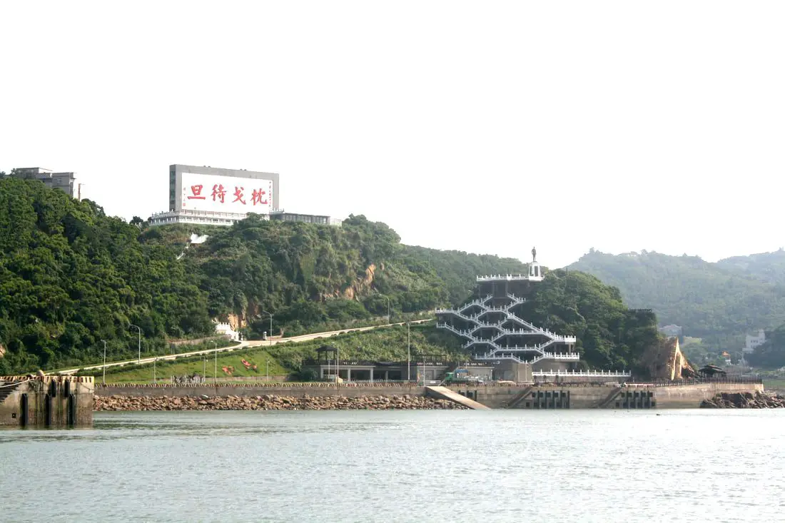
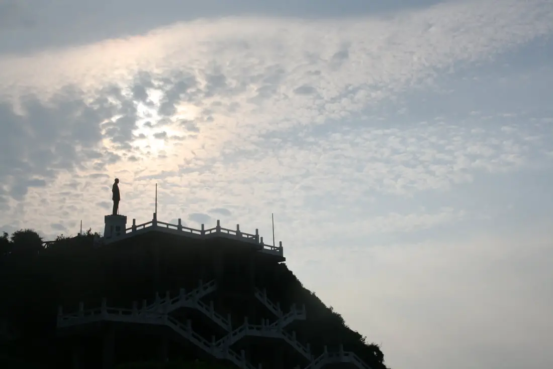
We came to Nangan via boat from Beigan. We flew into Matsu from Beigan, and flew out from Nangan, that way we did not have to backtrack. When you come into Nangan by boat, you are greeting by a giant sign on a hill that says "Sleep on your spears" (枕戈待旦). Matsu was and is very much a military island.
You can also see a statue of the late KMT dictator Chiang Kai-shek with a giant staircase winding up to him. Fuwo Village and Harbor 福沃港 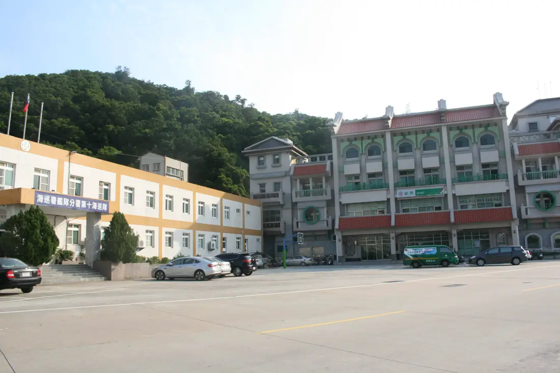
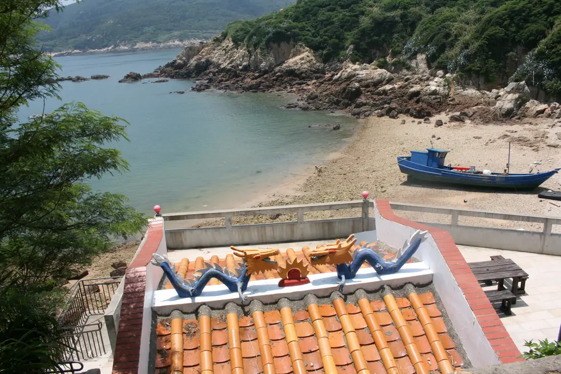
Fuwo Harbor is the main harbor in Nangan, linking to all other islands in Matsu.
We stayed at Fu Hwa Homestay on Nangan (you can book on Agoda here, Booking,com here, or Trip.com here). They picked us up from the ferry dock and drove us to the hostel. I didn't bring cash, but luckily there was an ATM at the post office right in front of the harbor. 
Next to the harbor are also giant Chinese characters that say "Retake the Mainland" (光復大陸).
The very prominent statue of CKS next to the harbor does not seem ot have many visitors. There are better views elsewhere on the island.

A soldier memorial roundabout on the north side of the island.
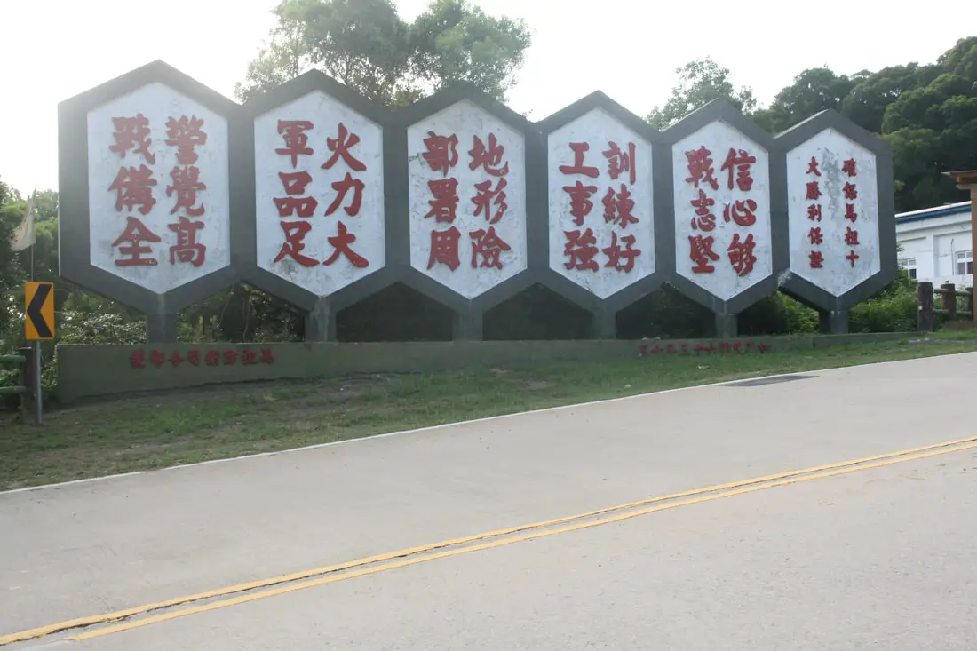
More KMT military propaganda on the side of the road.
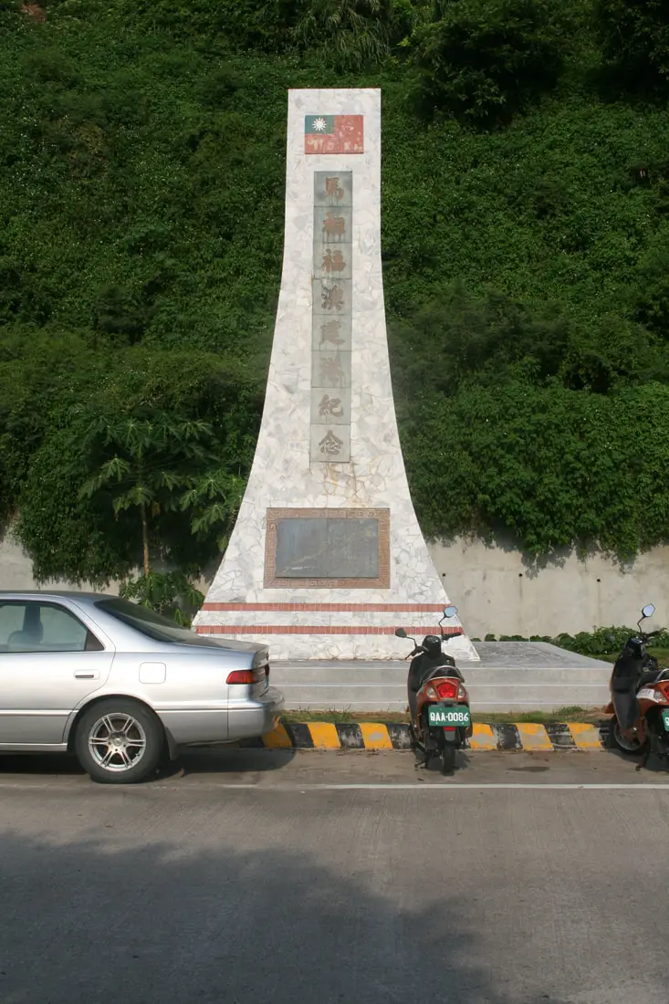
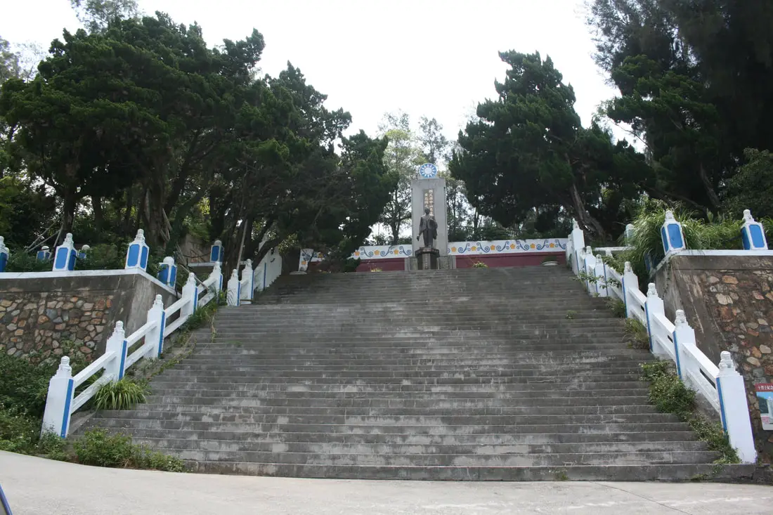
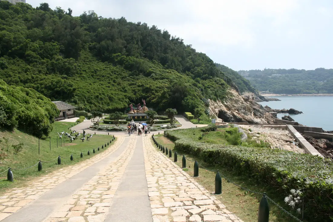
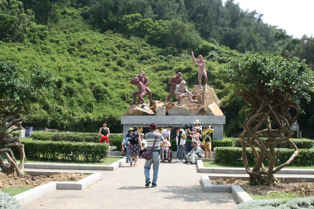
Zhenghe Daidan Memorial Park 枕戈待旦紀念公園 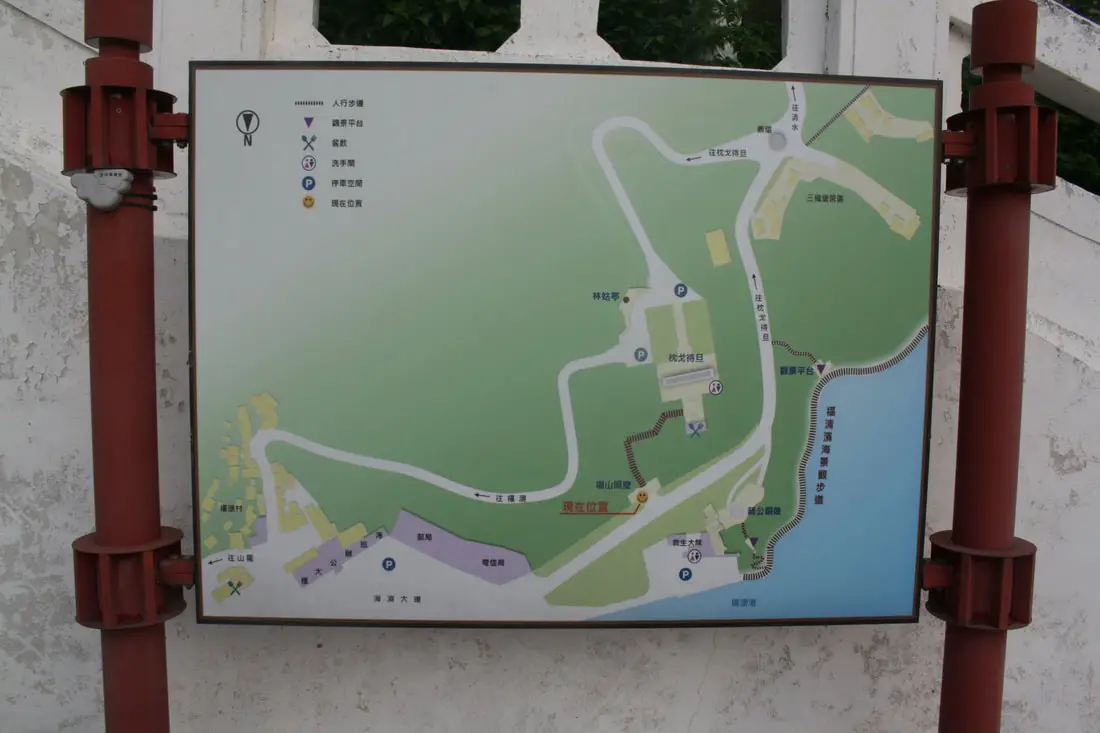
As you can see from the above photos, the park sits at a very prominent place above Fuwo Harbor for all to see.
There is also some writing on the back of the monument describing that CKS said these words to bolster the spirits of the soldiers.
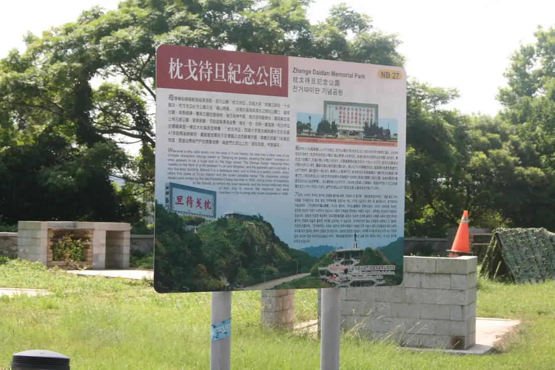
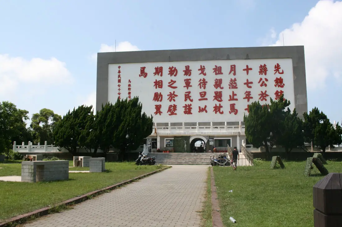
"Zhenge Daidan Memorial Park"
"Whenever a ship sails slowly into the area of Fu'ao Harbor, its crew has a clear view of four Chinese characters "zhegnhe daidan" or "Sleeping on spears, awaiting the dawn" inscribed on what appears to be a huge wall on the ridge ahead. The Zhenghe Daidan Memorial Park nestles on the flank of a hill between Fu'ao and Qingshui, and the apparent wall is actually a thin five story building. Behind it is a barbecue area, and in front is a scenic outlook which offers fine views of Fu'ao harbor and the ocean paradise below. The characters zhenghe daidan were written by the late President Chuang Kai-shek in 1958, during a tour of inspection to the islands, to remind the local residents and the troops stationed there of their duty to recover the mainland, and were inscribed on the building after it was completed in 1988." 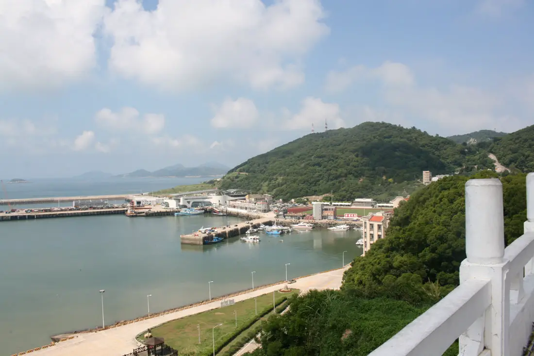
View of Fu'ao Harbor behind the park.
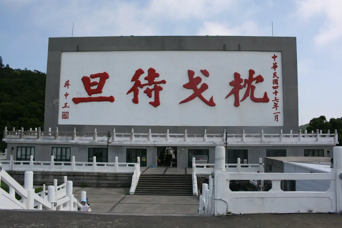
Closeup view of Zhenge Daidan.
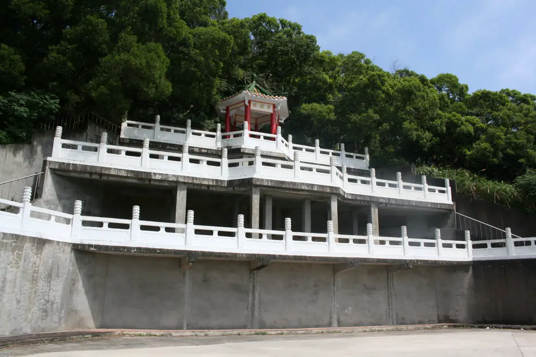
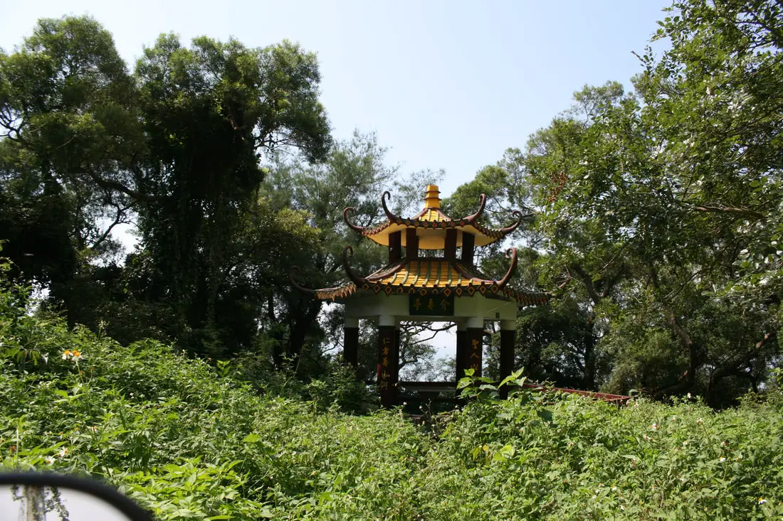
A pavilion behind the monument.
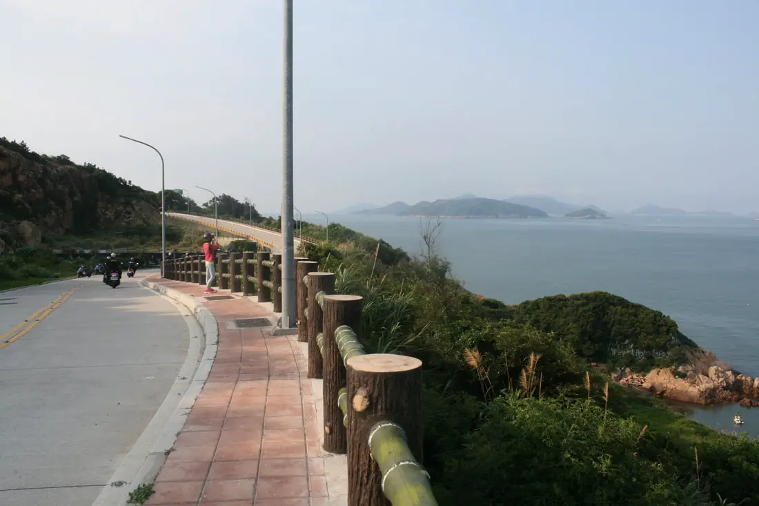
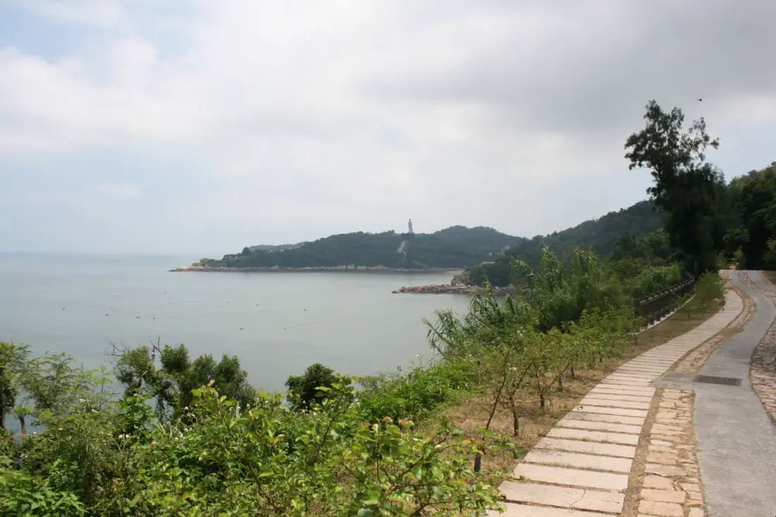
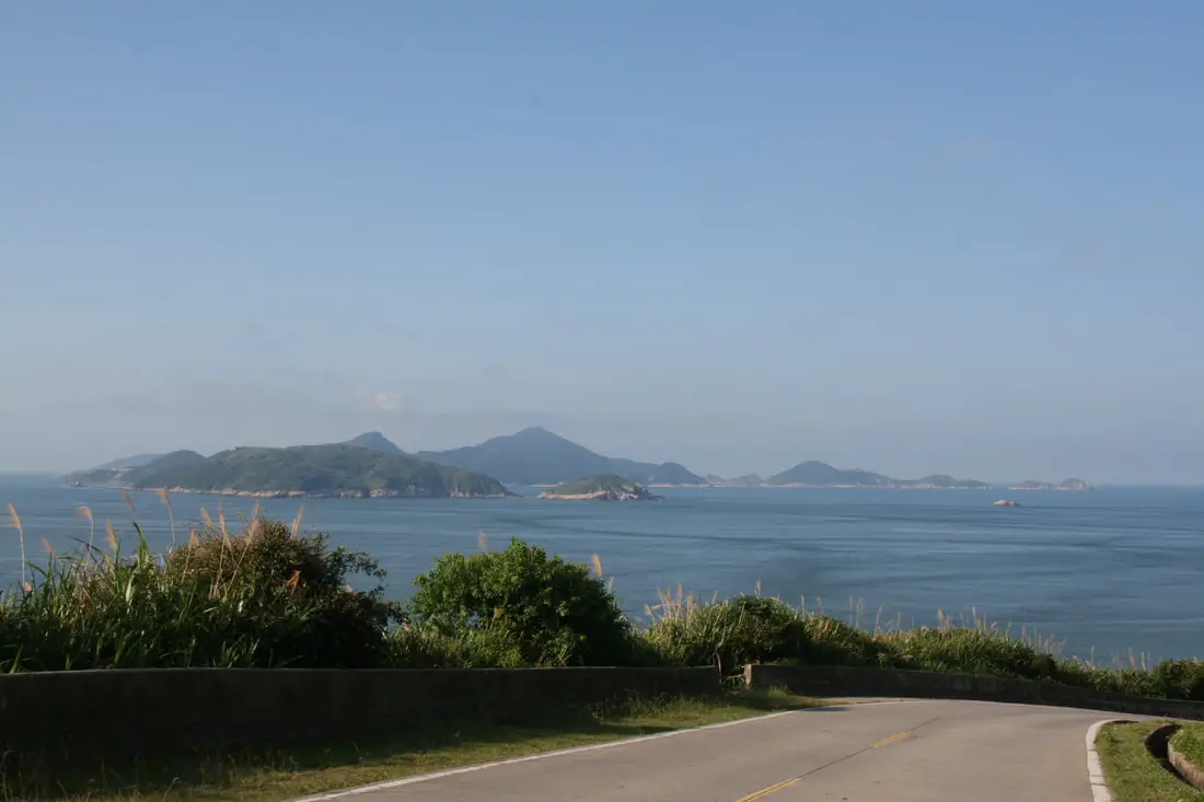
View of Nangan's north coast looking at Beigan.
Another view of Beigan from Niujiao Village.
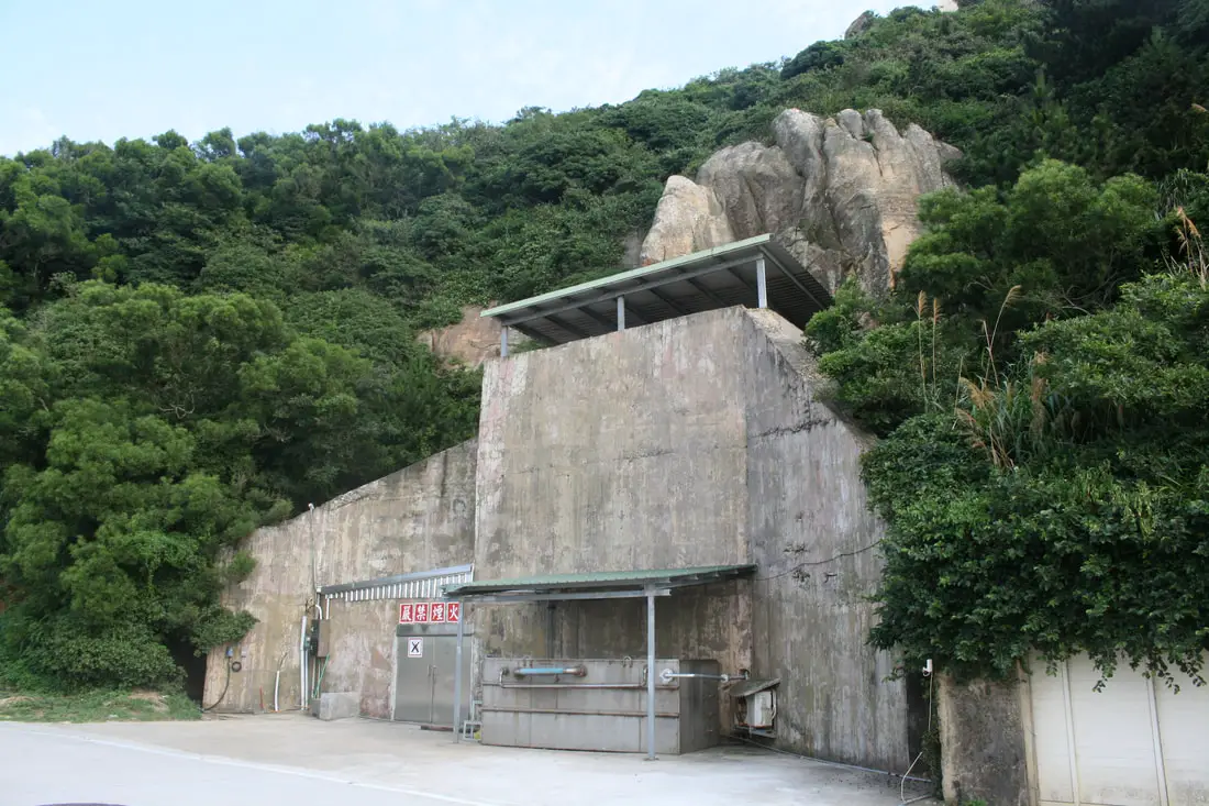
Random bunker on the side of the road.
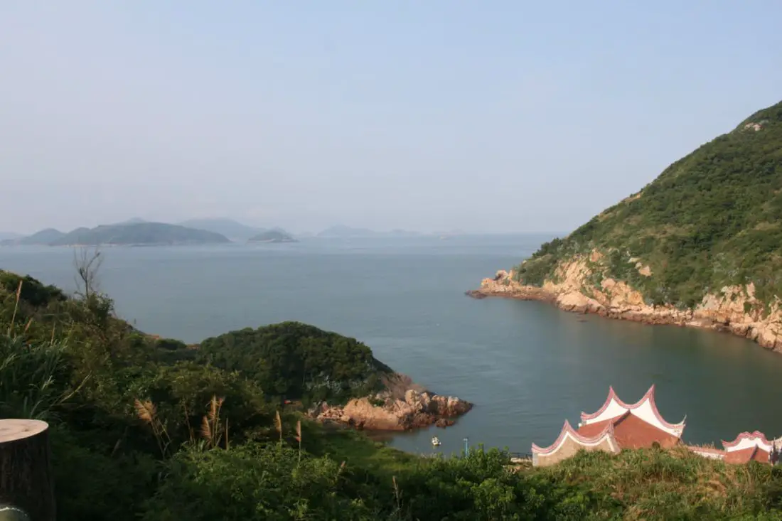
View of the statue of Matsu from Fuwo Harbor.
Memorial to the construction of Fuwo Harbor.
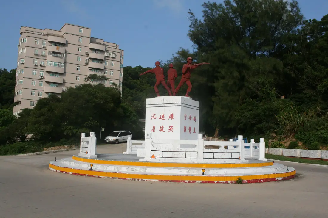
Soldier memorial in a roundabout on the north side of the island.
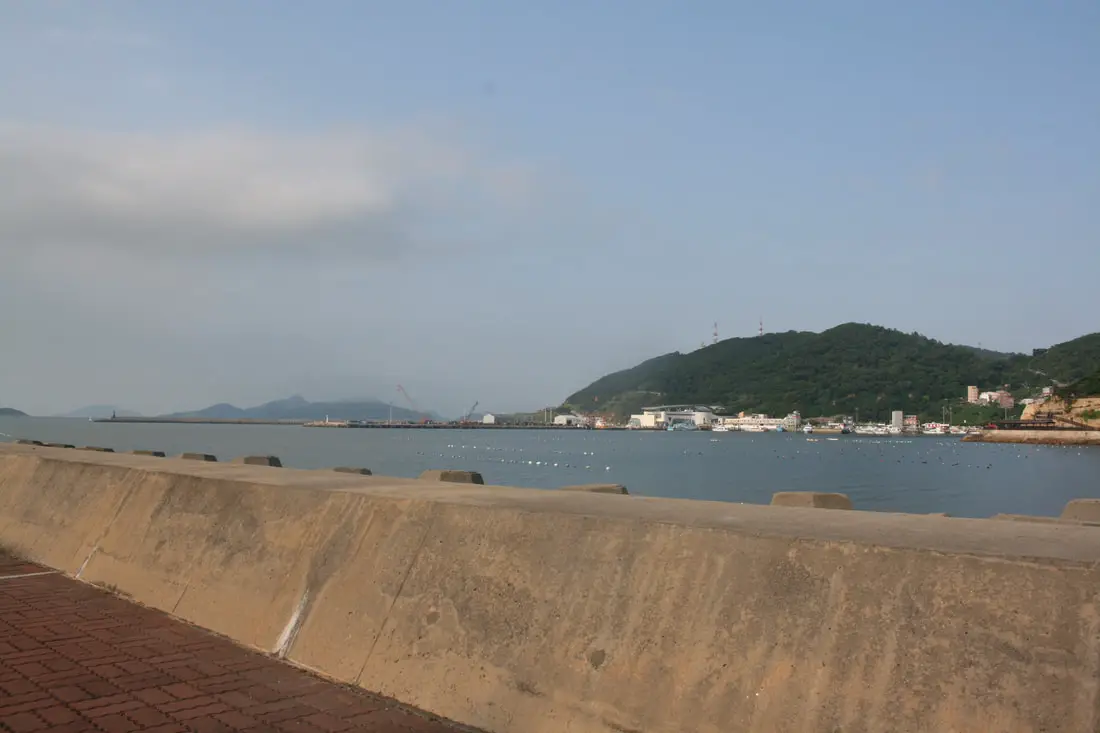
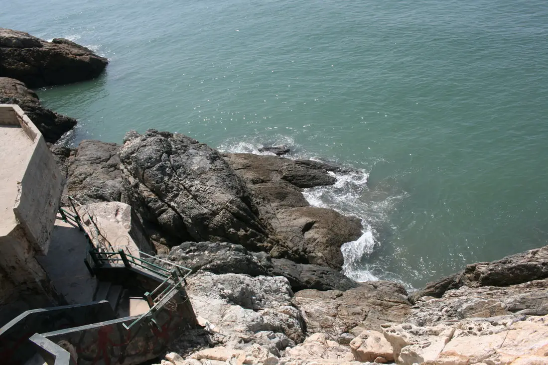
View of Fuwo Harbor from the western part of the island.
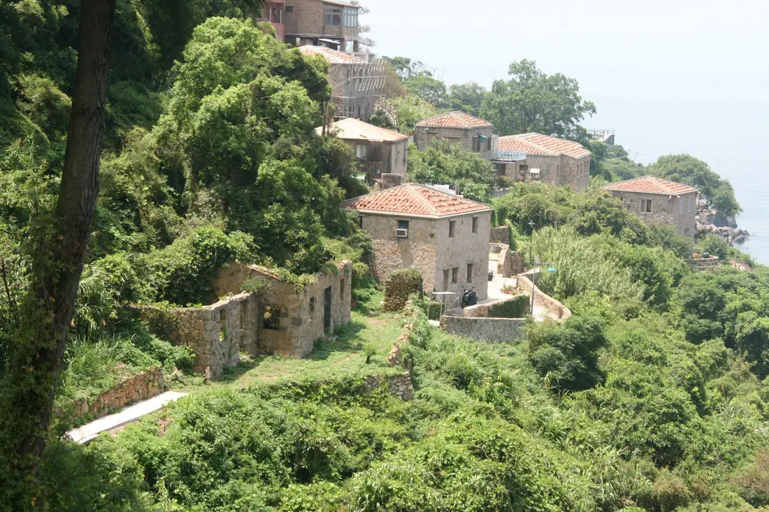
Ruins of a stone house on the eastern side of the island.
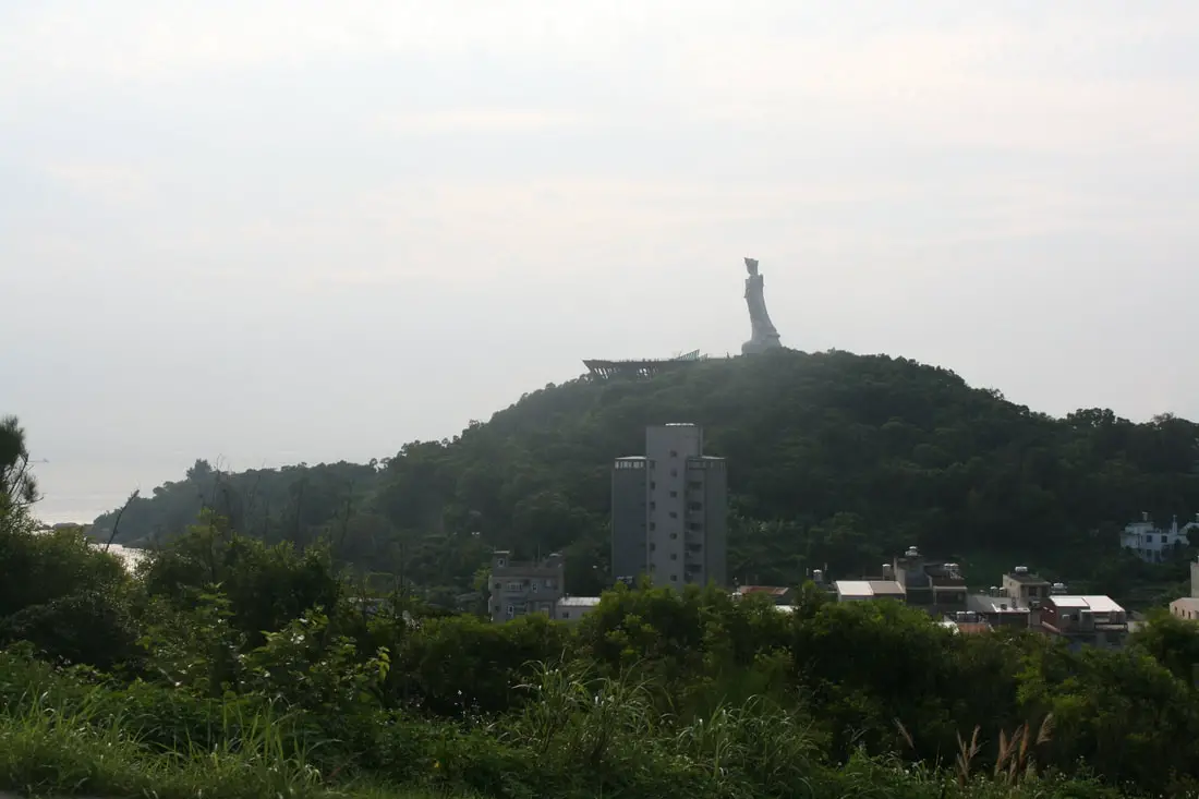
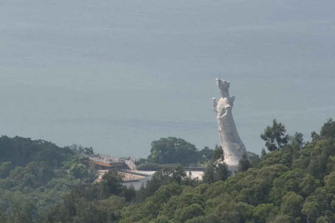
Closer view of the statue of Matsu.
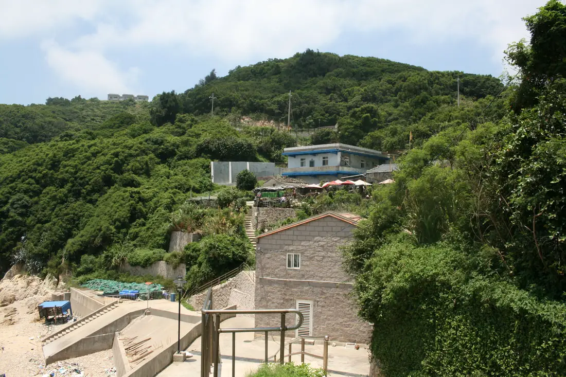
Small village on the north easternmost part of Nangan.
Furen Village 夫人村 
Furen Village is perhaps the smallest village in Nangan, sitting on the west side of the northeast peninsula. From here you can see some clear views of Beigan.
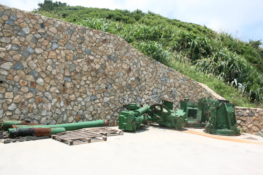
Some abandoned artillery pieces sitting in a parking lot.
The Taoist temple at Furen Village.
The small village here only has half a dozen houses.
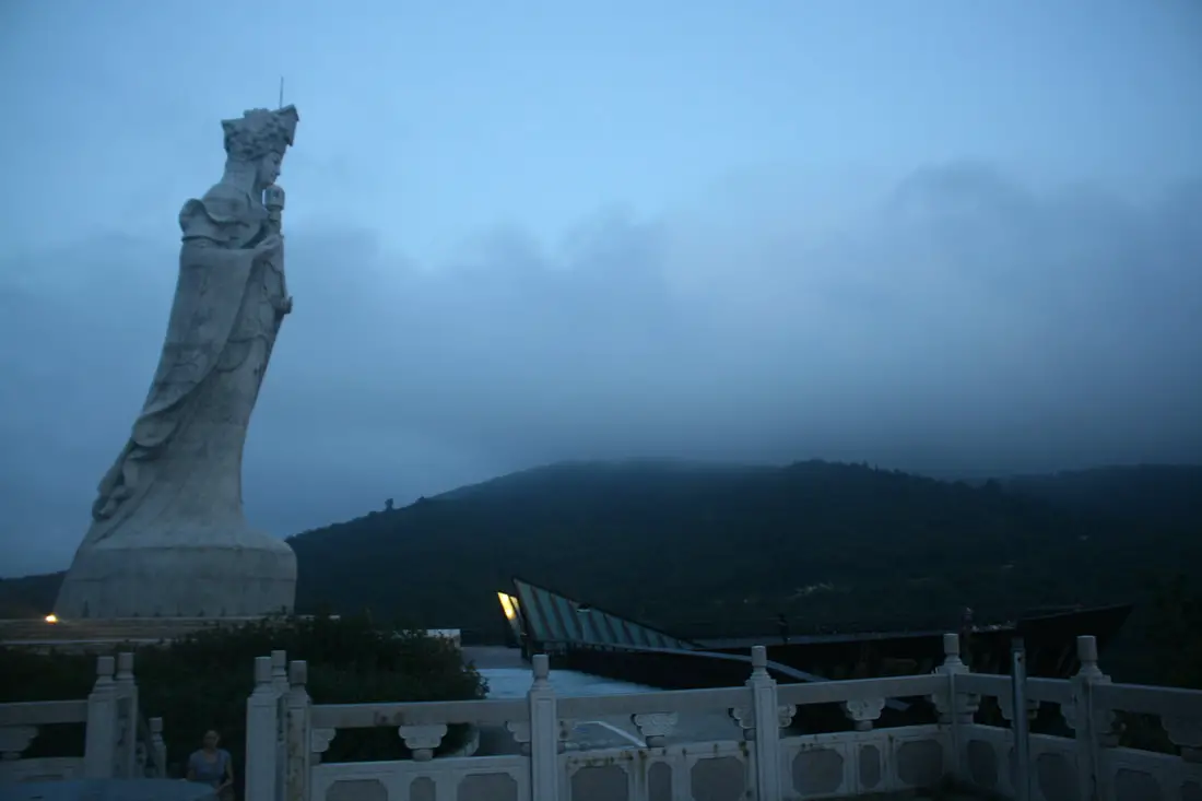
Mazu Religious and Cultural Park 媽祖宗教文化園區 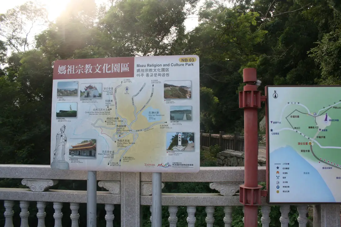
The Mazu Religious and Cultural Park mainly consists of a large statue of Mazu and the temple where Mazu's body was buried.
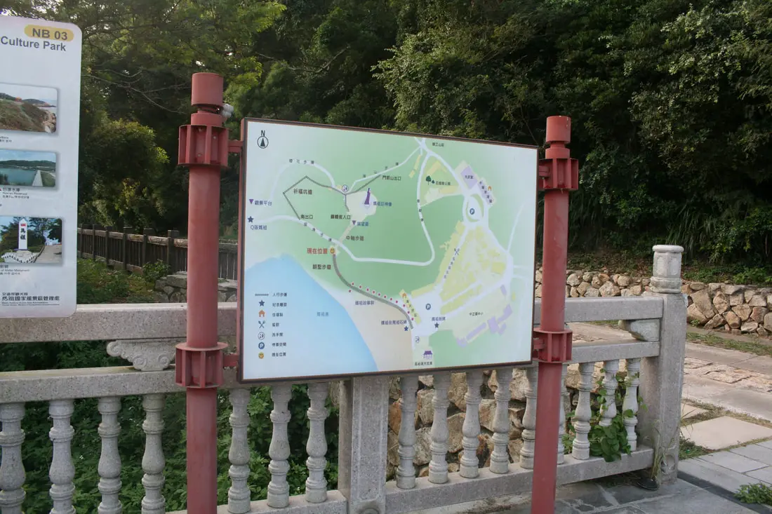
Map of the area.
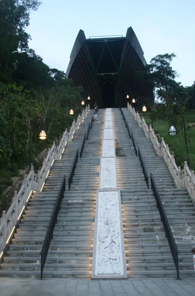
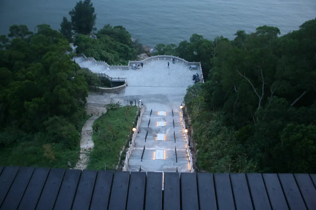
Stairs leading up to the statue of Mazu.
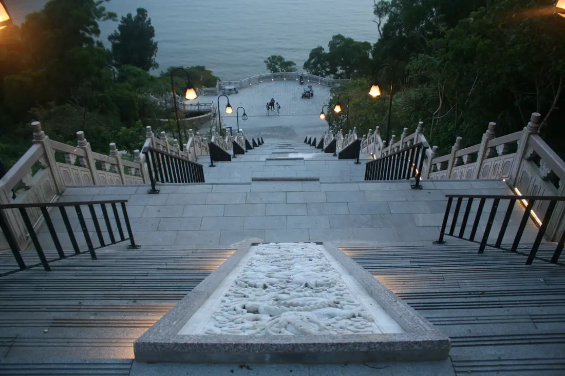
Climbing up these stairs is kind of tiring. There is a road that goes to the top, but there is only disabled parking.
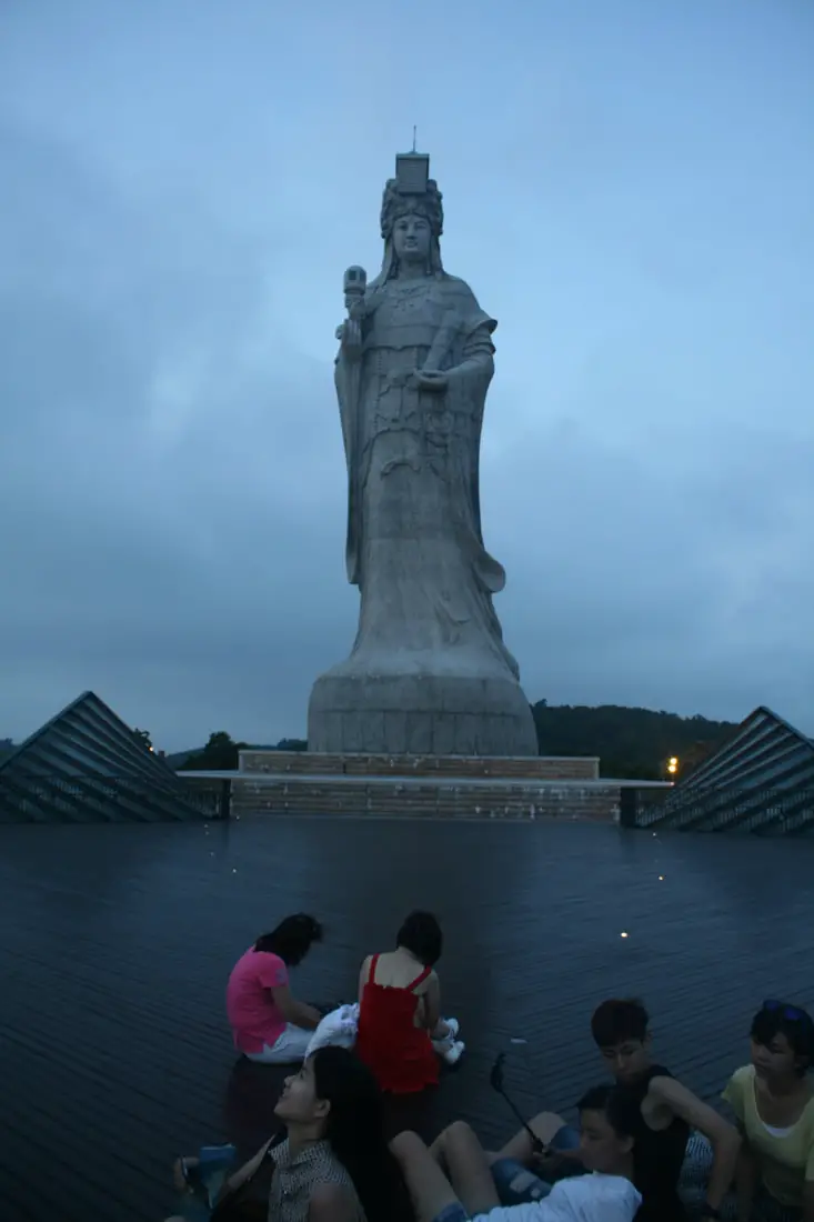
The statue of Mazu is 28.8 meters tall and is the tallest statue of Mazu in the world. It was completed in 2008.
The statue sits on a giant boat like structure overlooking the sea.
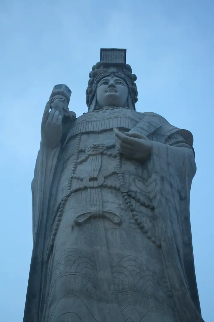
Closeup on Mazu.
Side angle of Mazu.
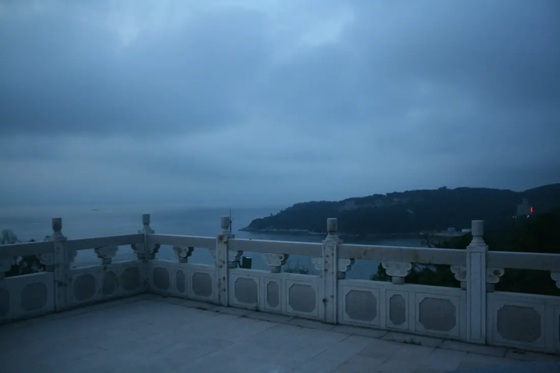
View of the ocean looking north.
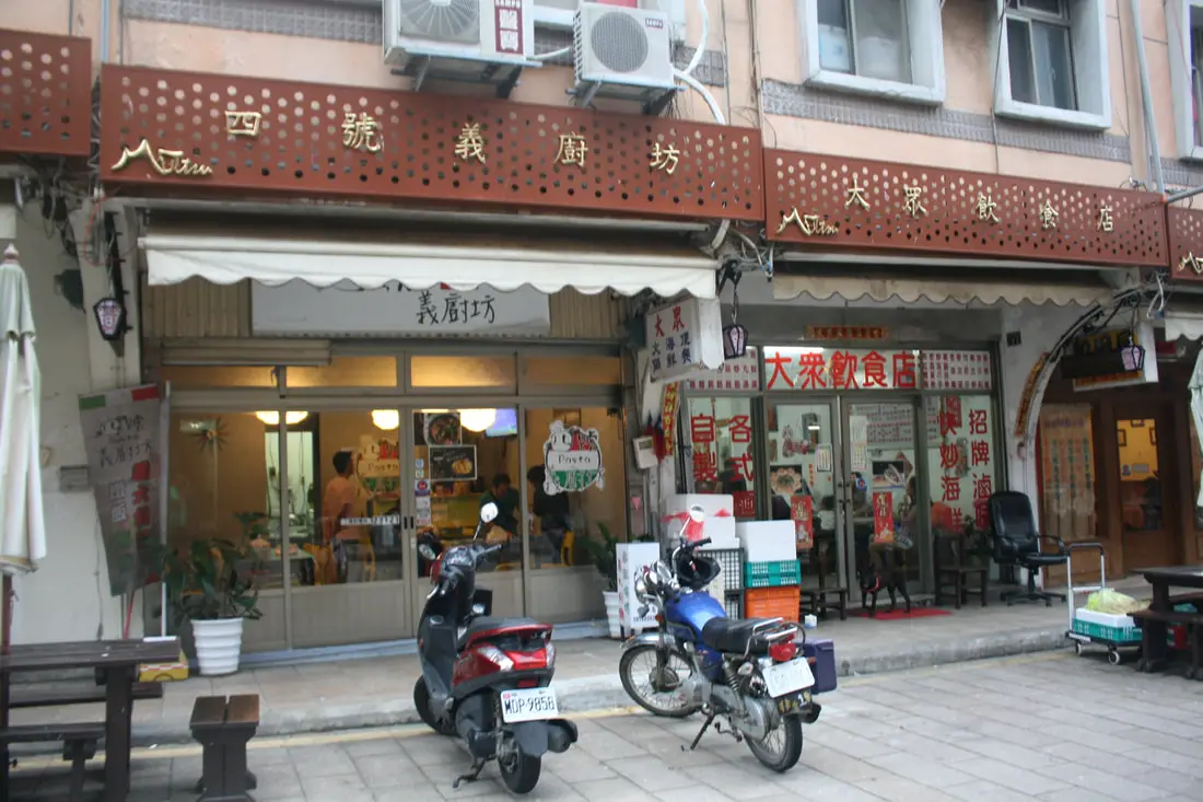
Magang Qinguang Night Market 馬港親光夜市 
Magang Qinguang Night Market is probably the only real night market in Matsu. It is a street in Magang Village, with both sides filled with restaurant and tourist shops. There is also a 7-11 here.
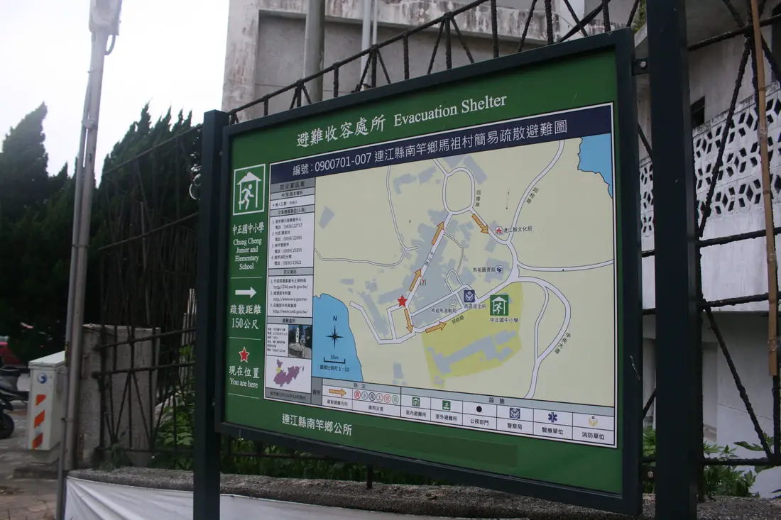
In case of an air raid from China, you can know where to evacuate.
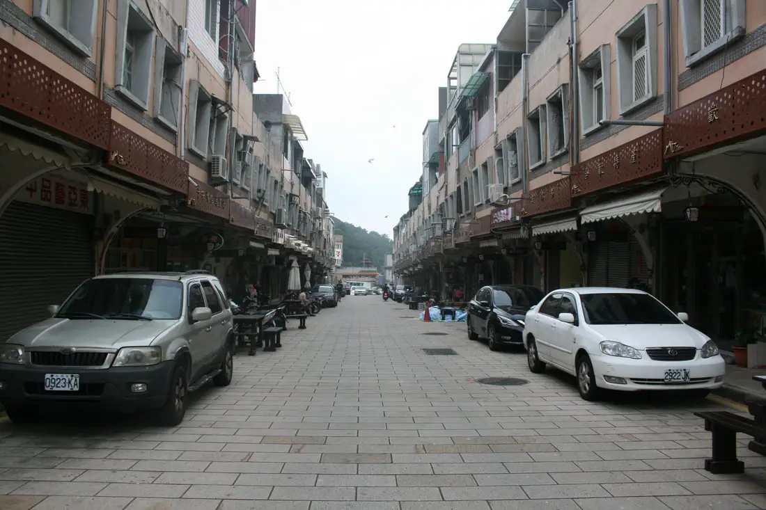
Another view of the night market just before everything started to open. We visited on a Saturday, but there were not many people.
Chaoqun Bread Store 超群西點麵包城 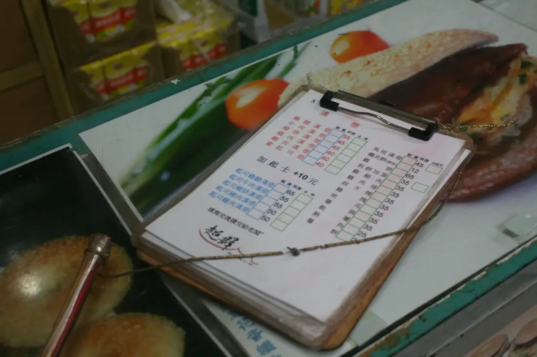
First we hit up the Chaoqun bread store, which has some delicious local food, as well as normal Taiwanese breakfast foods.
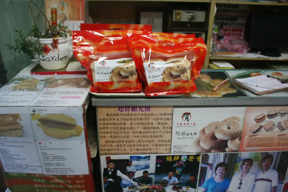
The main thing they sell here is the Matsu Hamburger, and they also sell hamburger buns by the dozen.
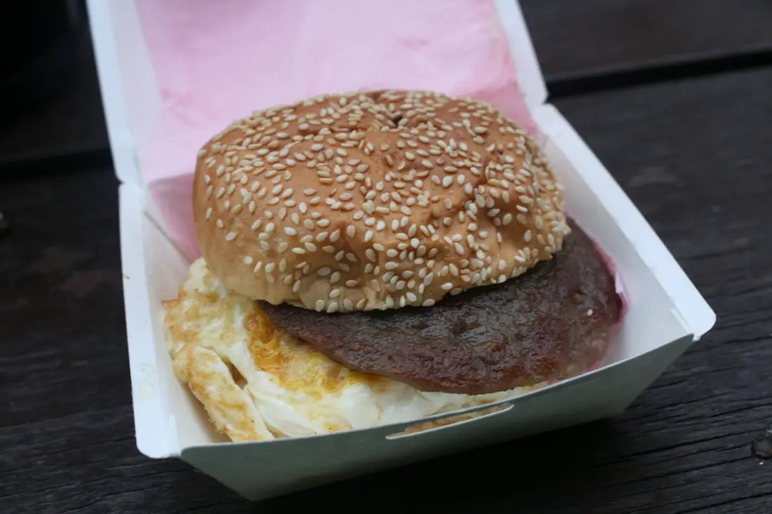
Original style Matsu hamburger. It's actually really good.
The Matsu Hamburger is Actually called "Jiguang Bread" in Fujian, and was used as food for soldiers because it has a hole in it, making it easy to carry around. It is named after Qi Jiguang, a successful Ming Dynasty General who drove out the Wokou Pirates that had invaded Fujian in the mid 1500s AD. During the fighting, he invented what is now the Matsu Hamburger by commanding his men to make a portable salty bun with flour because he needed to move quickly. Now the people in Fujian all make this "Jiguang Bun" in remembrance of Qi Jiguang who drove the pirates out of Fujian. The bun is also made in Matsu, which was once part of Fujian, and has been known to mainland Taiwanese as the Matsu Hamburger. 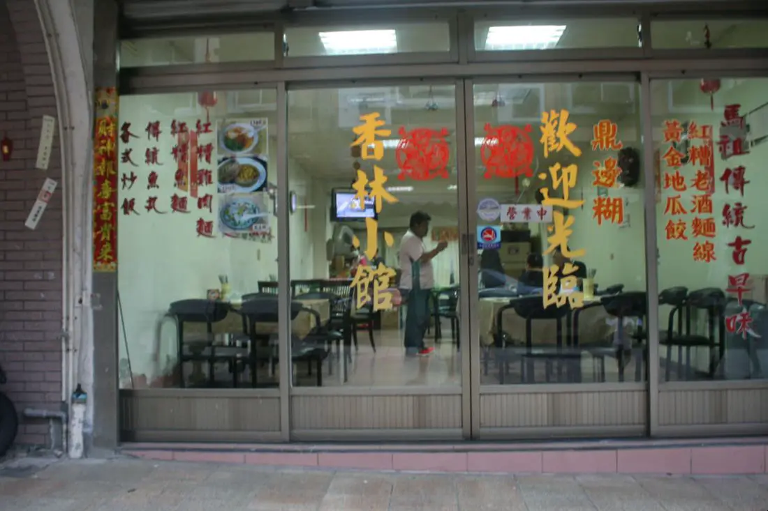
Another noodle and rice shop along the street.
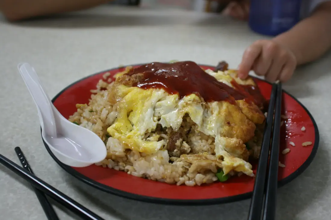
Some Rice Omlette, which I was very disappointed in.
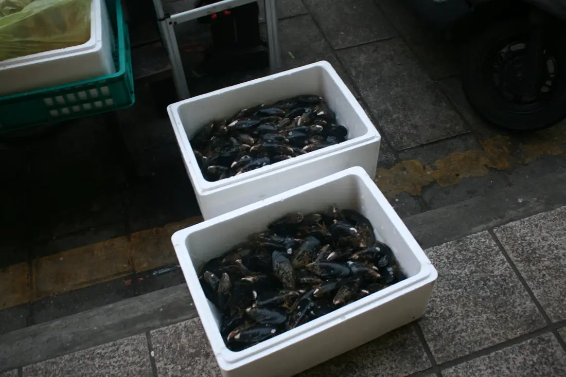
Fresh mussels ready to be steamed.
Italian restaurant.
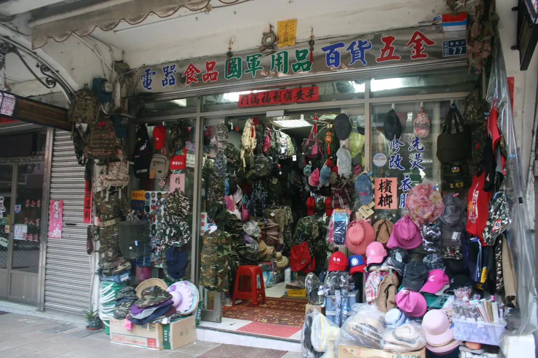
War surplus shop.
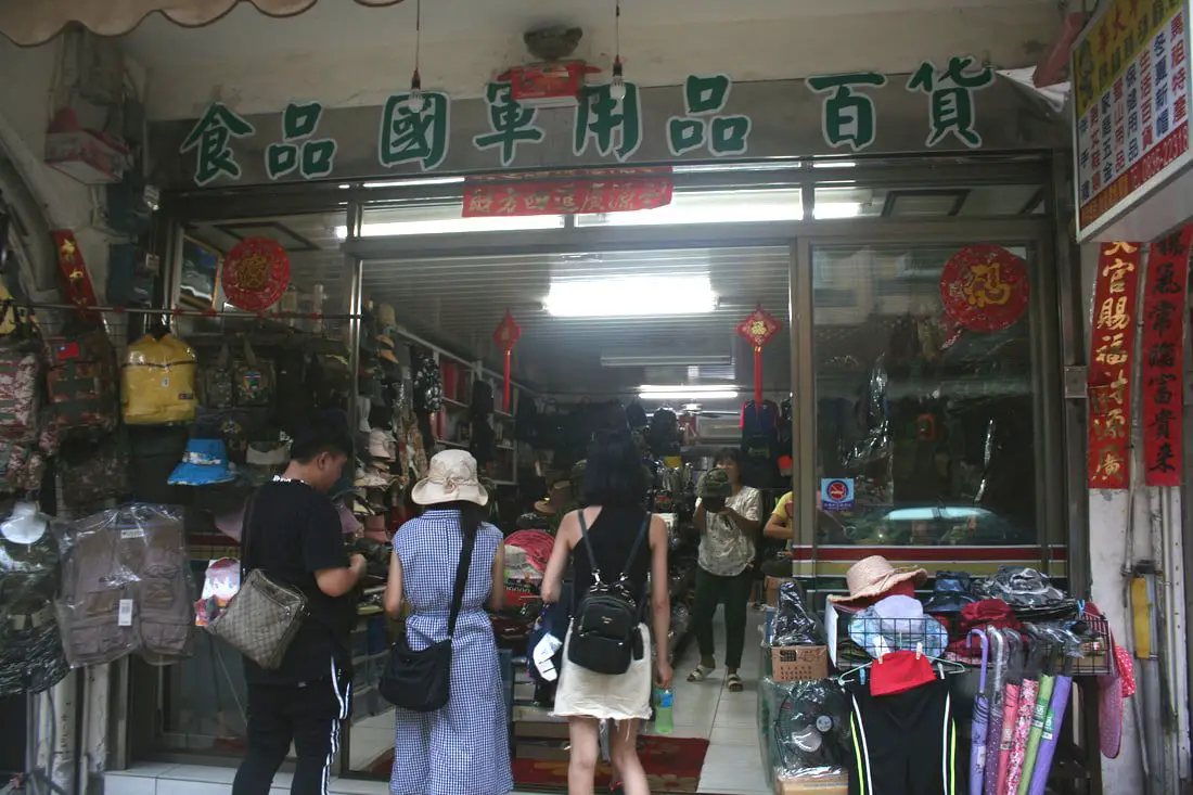
Another army surplus shop.
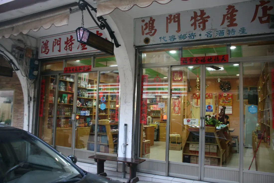
Mastu delicacy shop.
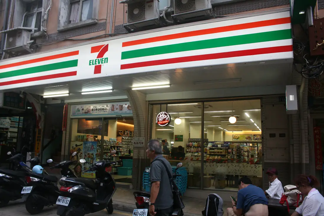
One of the five or so 7-11s on the island.
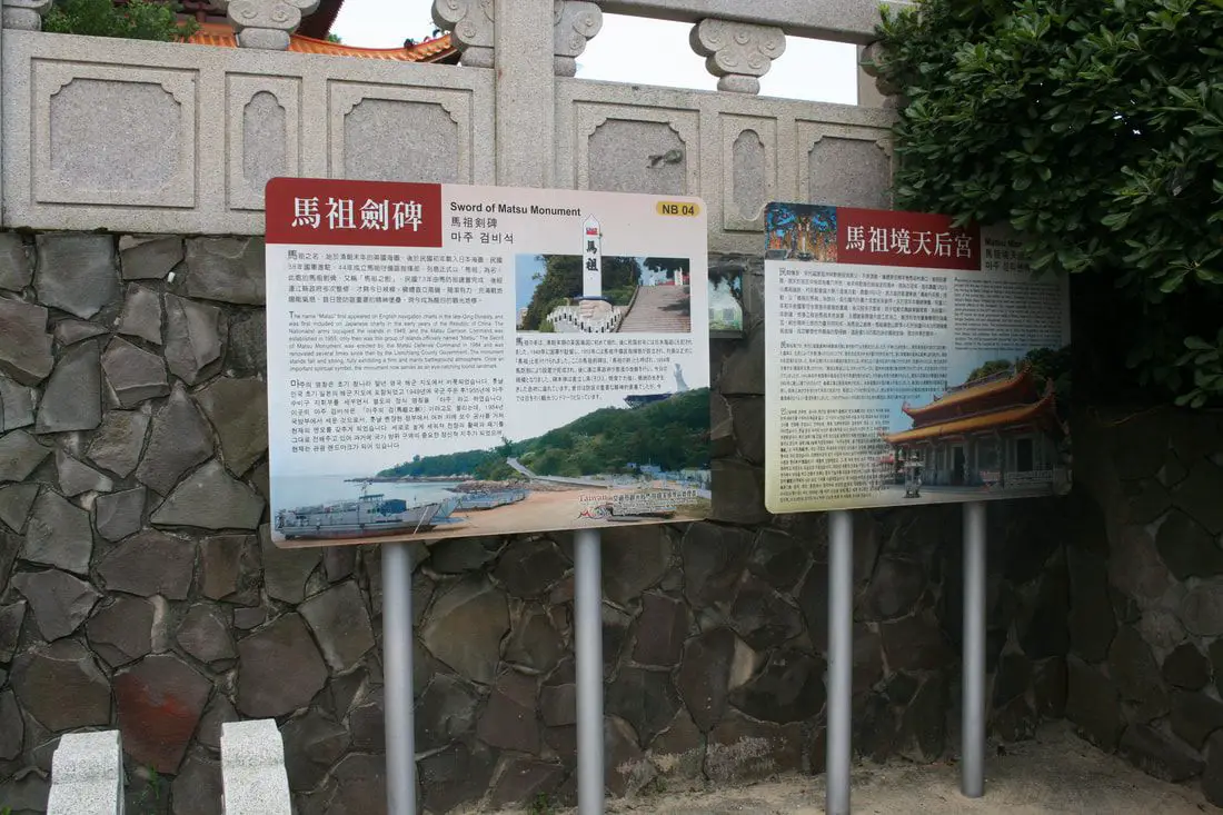
Sword of Matsu Monument 馬祖劍碑 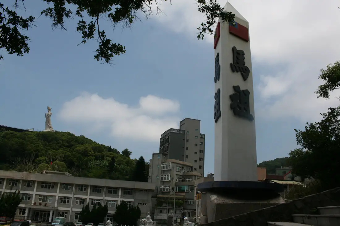
The sword of Matsu with the statue of Mazu in the background.
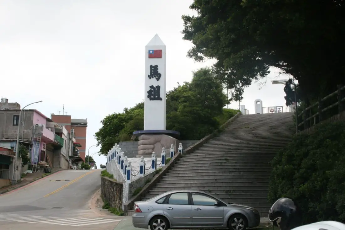
“The name Matsu First appeared on English navigation charts in the late Qing Dynasty, and was first included on Japanese charts in the early years of the Republic of China. The Nationalist Army occupied the islands in 1949, and the Matsu Garrison Command was established in 1955; only then was this group of islands officially named Matsu. The Sword of Matsu Monument was erected by the Matsu Defense Command in 1984 and was renovated several times since then by the Lienchiang County Government. The monument stands tall and strong, fully exhibiting a firm and manly battleground atmosphere. Once an important spiritual symbol, the monument now serves as an eye-catching tourist landmark."
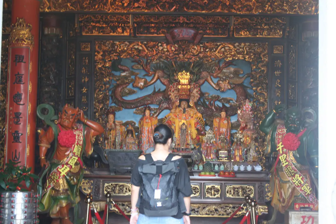
Matsu Tianhou temple sits at the edge of Magang Harbor, and is the spiritual center of Matsu.
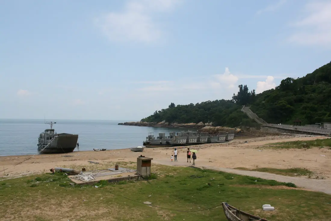
The beach at Magang with some landing craft parked.
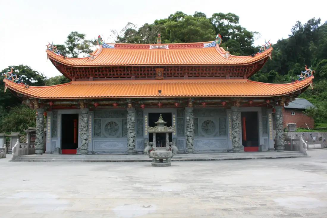
Matsu Tianhou Temple 馬祖天后宮 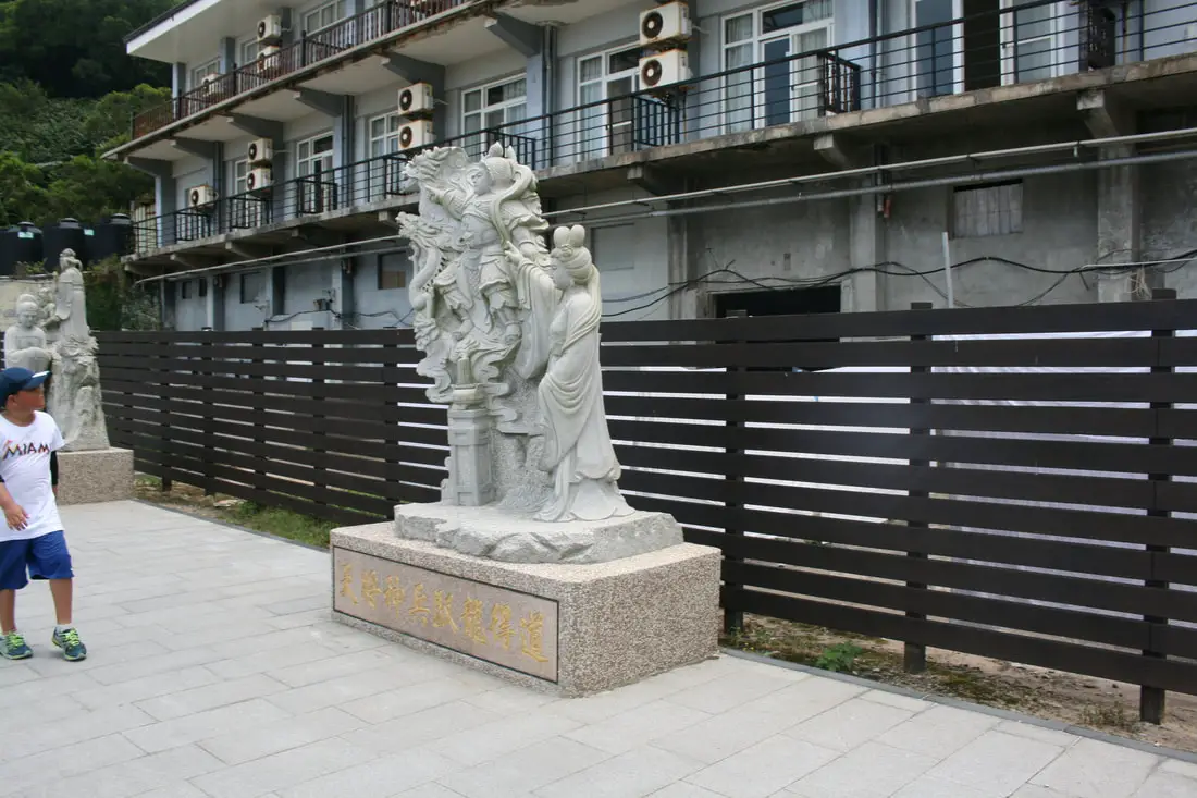
There are a long line of statues along the beach telling Mazu's life story.
"According to popular legend, a young lady named Lin Moniang from Meizhou island in Fujian jumped into the sea to save her father and unfortunately drowned. Her body floated into the bay at Matsu Village in Nangan, and was buried with honors by the villagers. The tomb of the young lady now deified as Mazu, Goddess of the Sea, is in the center of today's Matsu Mazu temple. The body itself was sent back to Meizhou, leaving only the personal effects of the deceased. The vilagers celebrate the birthday of Matsu with a great procession on the 23rd day of the 3rd lunar month each year, and on the 4th day of the 9th month the local government holds a Mazu Ascension Festival. The temple became old and dilapidated, and was rebuilt in 1942, since then it has been renovated numerous times. The impressive palace tstle temple that we see today is the result of another reconstruction carried out in 2002. The foundation was laid by people from Matsu, but craftsman from mainland China were brought in to built the main structure. The rood is covered with glazed tile from Yingge in Taiwan. An image of Mazu, carried to the summit of Mt. Everest by the famed Taiwanese mountaineer Lin Hsaio-shih is now also enshrined in Matsu Mazu Temple."
Lin Moniang is thought to have lived in the late 900s AD, which would mean this temple is very old. Now there are many Mazu temples around Taiwan and around the world. For more information on the Goddess Mazu, check out this wiki article here.
Some military fortifications near the temple to Mazu.
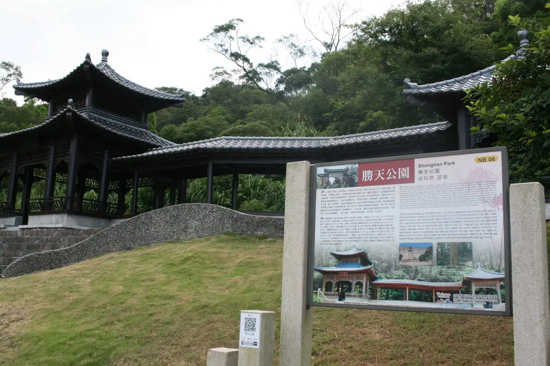
Shengtian park, which sits on the southeast side of the island with great views of the ocean.
View near Shengtian Park.
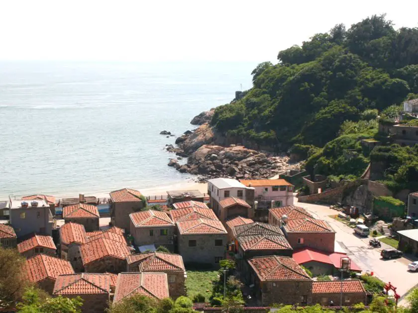
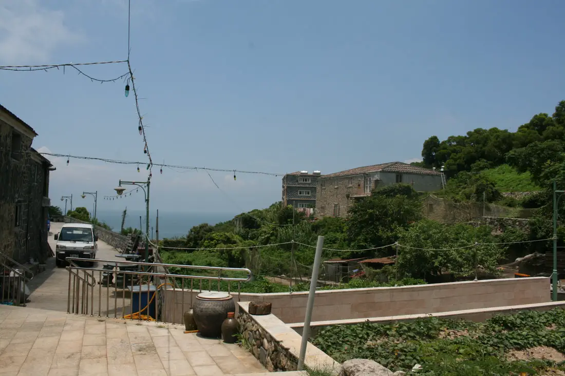
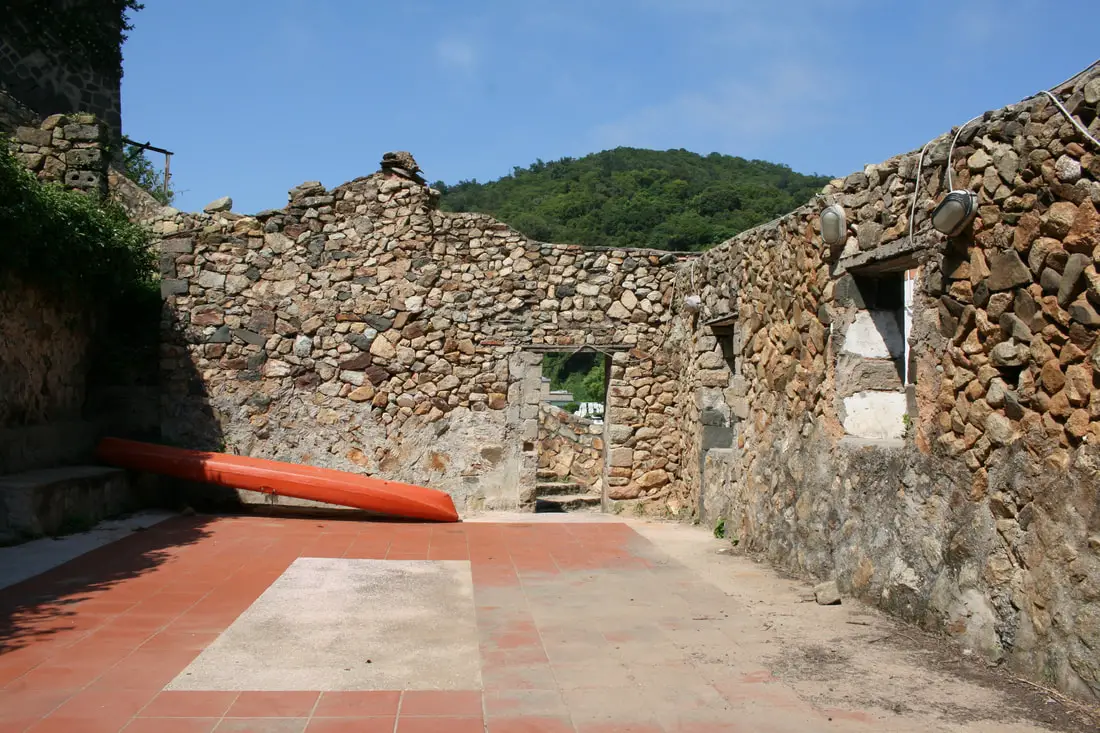
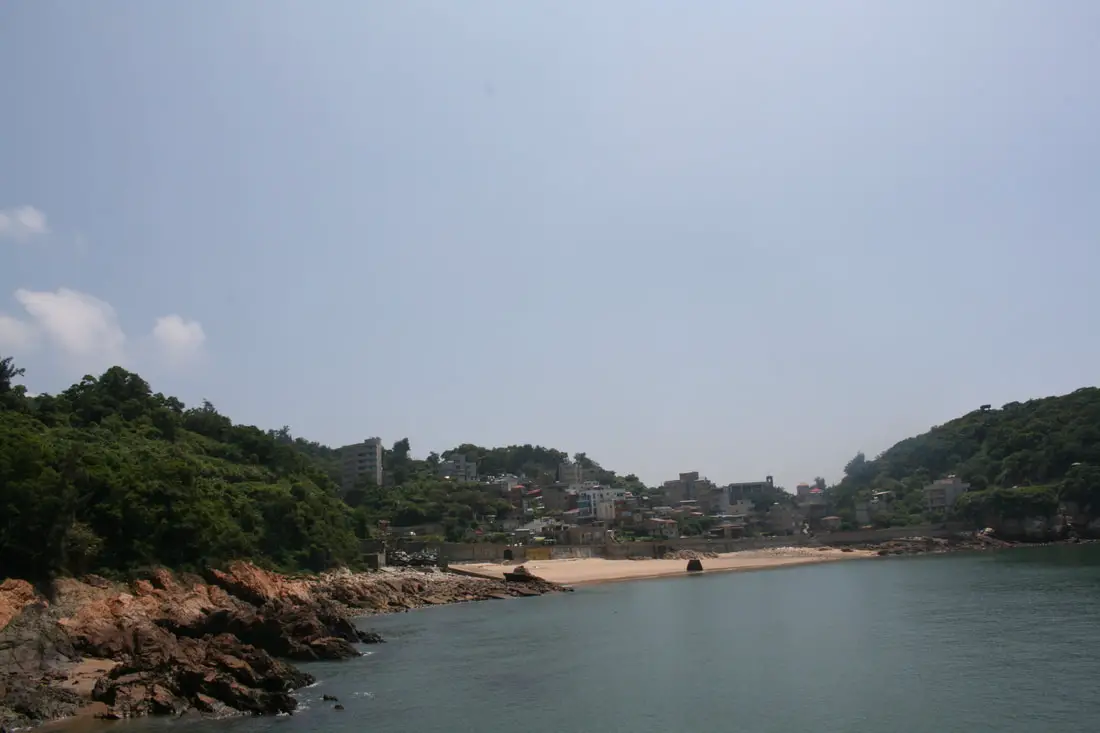
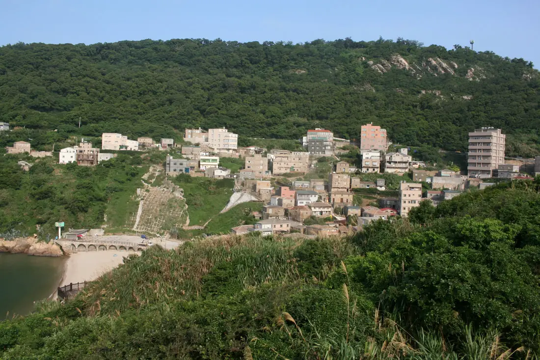
Jinsha Village 津沙聚落 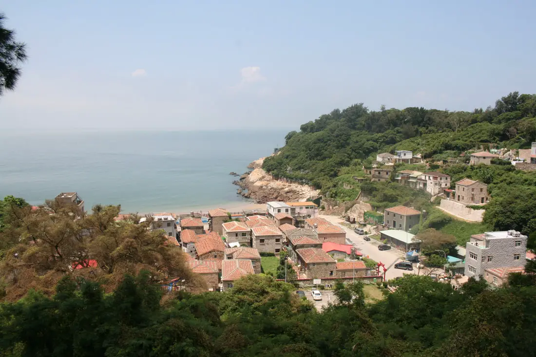
Jinsha village is perhaps the best preserved traditional stone village in Nangan. Much of Nangan has been modernized, but you can still find a mostly preserved historical village here.
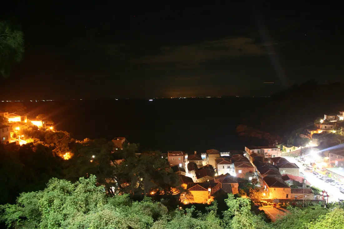
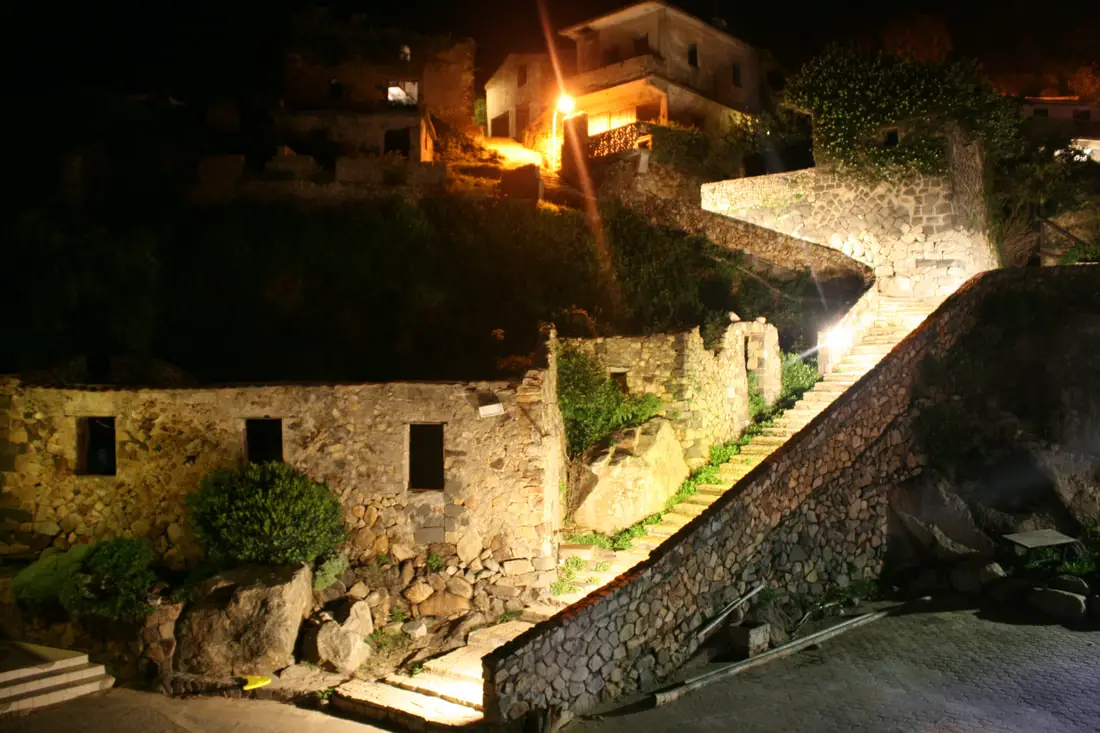
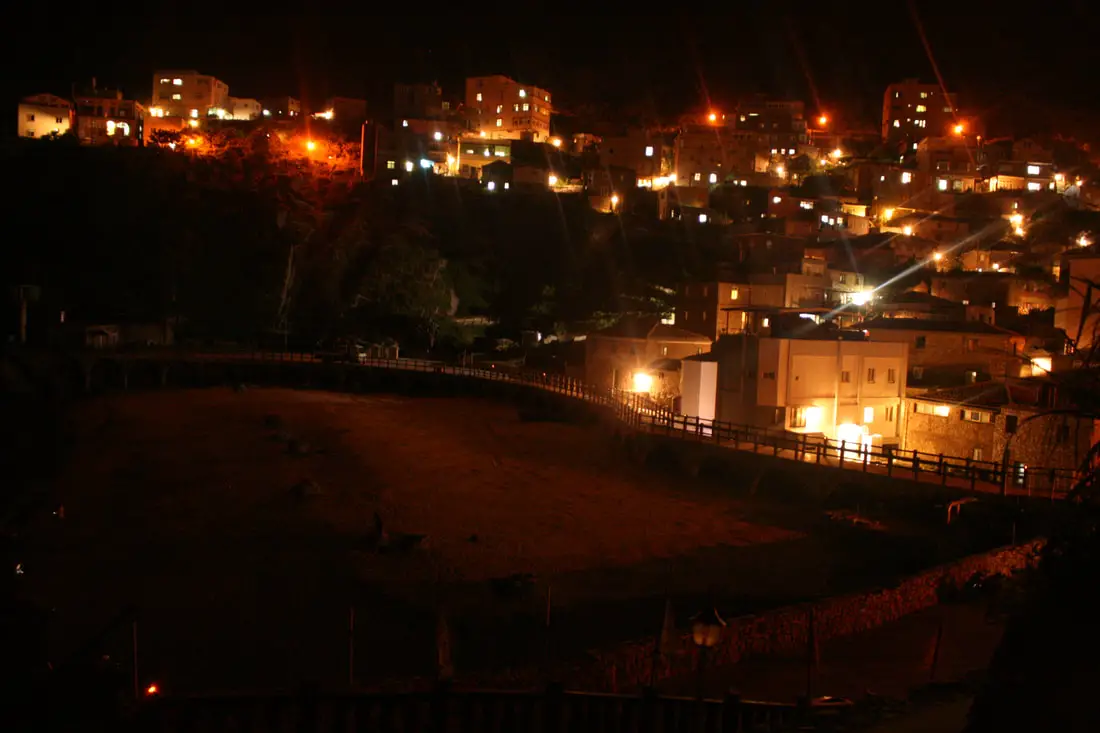
View of the village at night.
Another view of the village at night.
Traditional stone houses on the hillside.
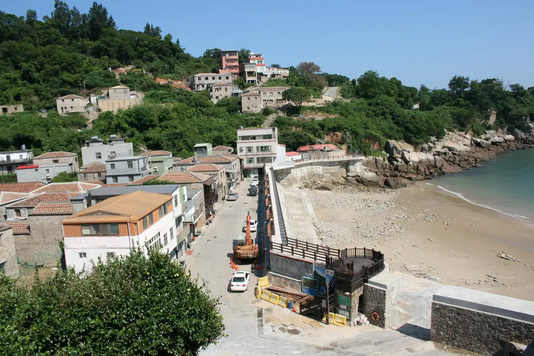
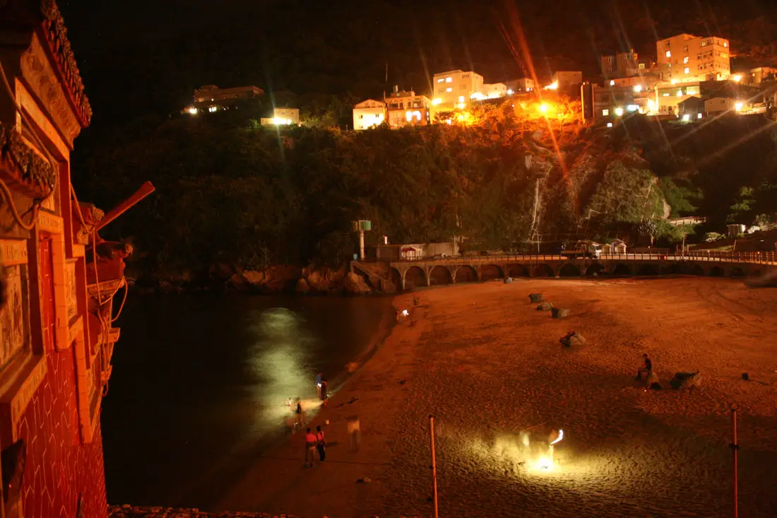
Jinsha Beach and the main street in town.
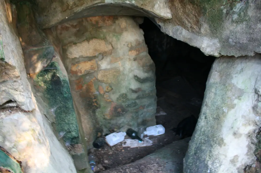
An old bunker now open to the public.
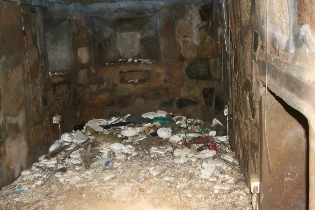
Inside the bunker are some outlets and electric lights, but it is clear that some seawater got in, ruining the place.
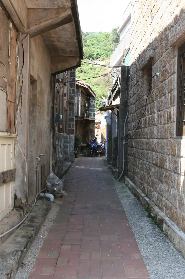
An alleyway inside the village.
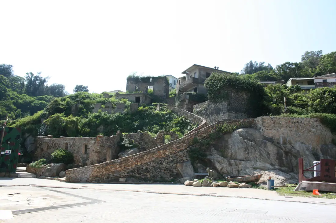
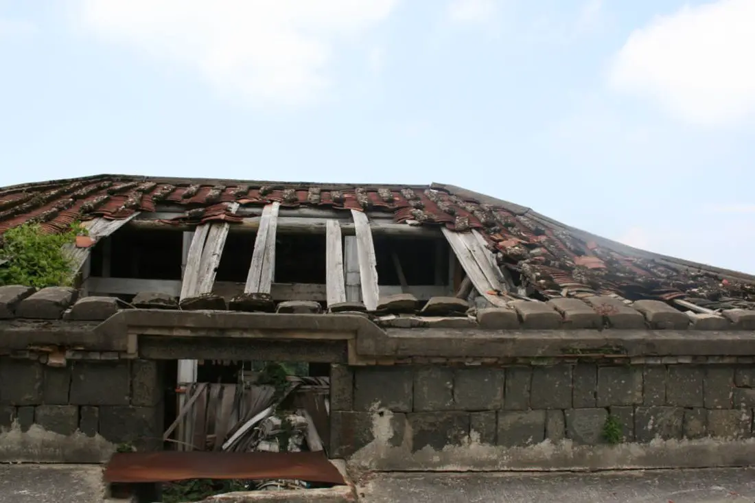
There are some abandoned houses on the east side of the village. You will find abandoned houses all around Matsu. This is becuase during martial law, many of the fisherman here left the islands for Mainland Taiwan where there was more work, better quality of life, and safety from Chinese shelling.
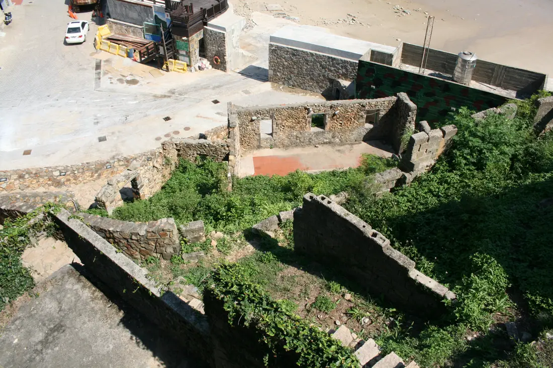
Abandoned stone houses with nothing left but some eroding walls.
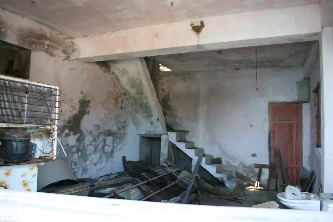
This house is being used as storage for kayaks.
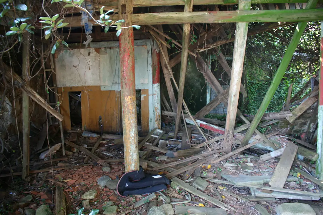
View inside one of the abandoned houses.
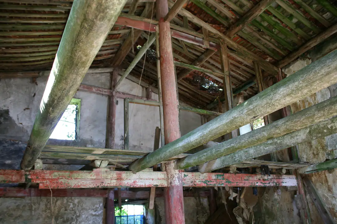
Abandoned house with roof partially intact.
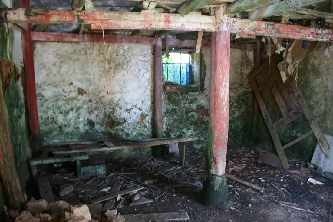
Someone's abandoned bedroom.
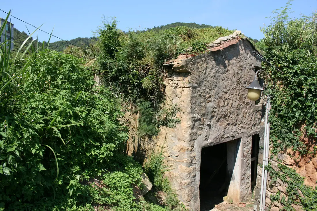
View of the outside of the same house.
Another abandoned house.
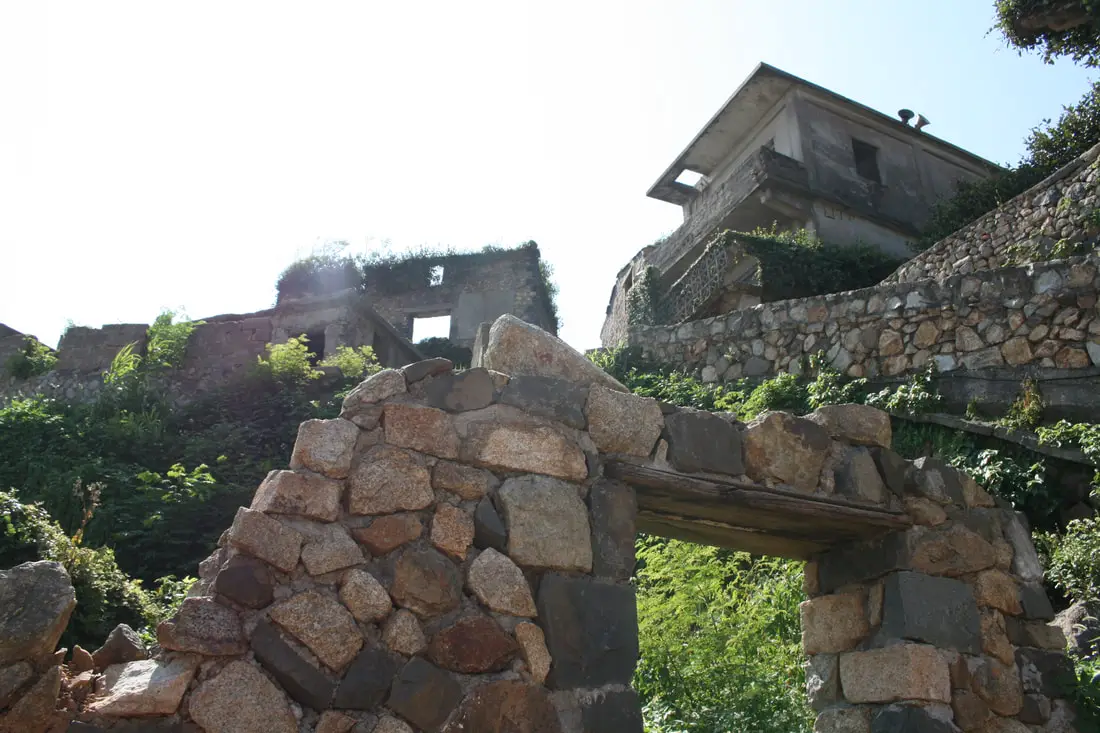
Stone doorway with the backdrop of more abandoned houses.
The abandoned stone houses seen at night.
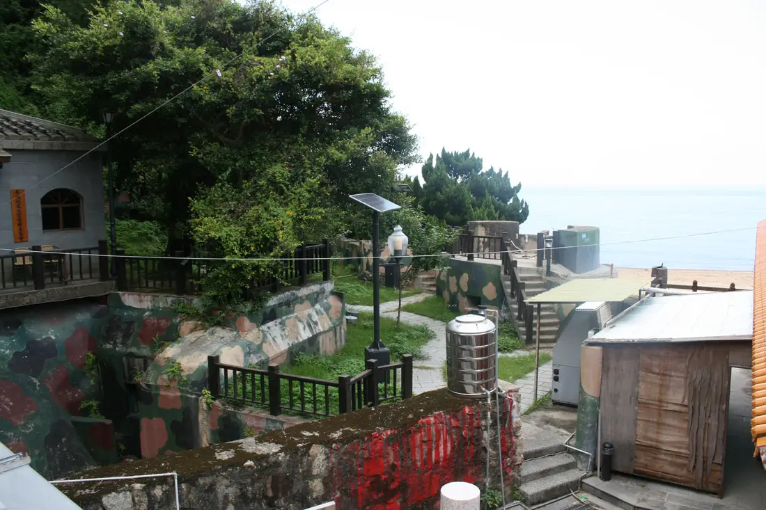
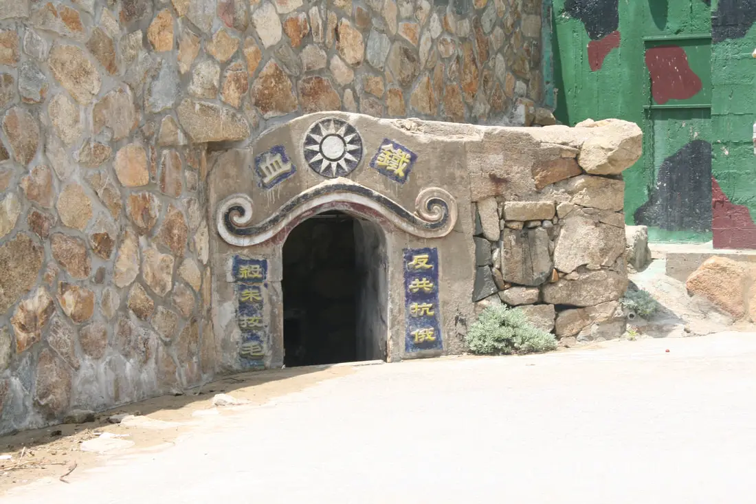
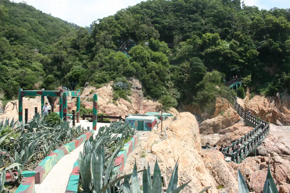
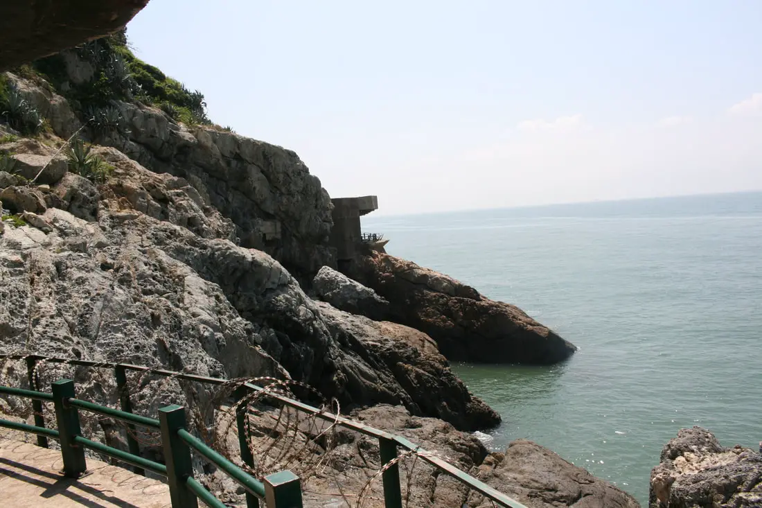
Iron Fort 鐵堡 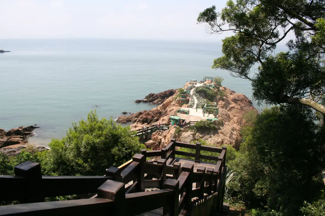
Iron fort is one of the most popular historic military attractions on Matsu. It is completely open the public, In its time, it also saw some real action from Chinese amphibious soldiers.
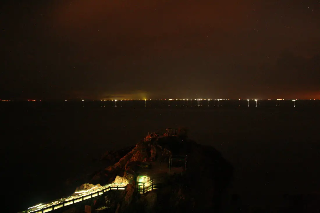
At night the fort is great for watching the stars or looking at blue tears because it can get really dark. But, technically you are not supposed to go out there after dark.
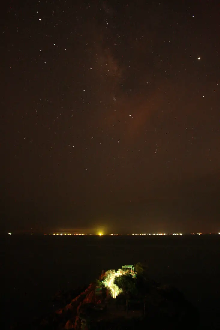
View of the Milky Way above Iron Fort.
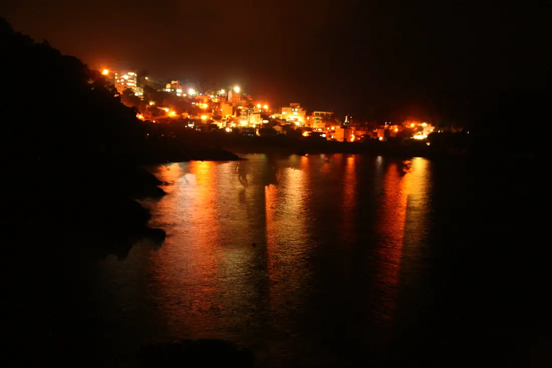
View of Renai Village across the water.
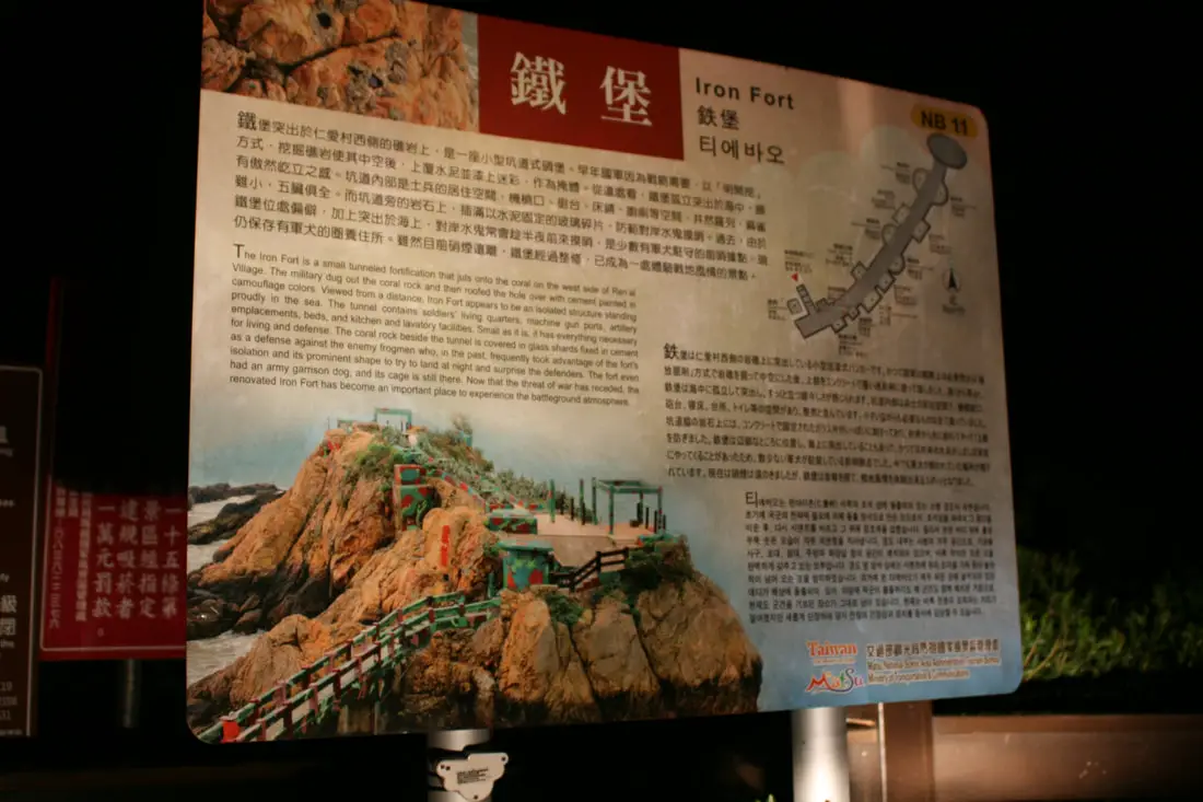
"Iron Fort"
"The Iron Fort is a small tunneled fortification that juts onto the coral on the west side of Ren'ai Village. The military dug out the coral rock and then roofed the hole over with cement painted in camouflage colors. Viewed from a distance, Iron Fort appears to be an isolated structure standing proudly in the sea. The tunnel contains soldier's living quarters, machine gun ports, artillery emplacements, beds, and kitchen and lavatory facilities. Small as it is, it has everything necessary for living and defense. The coral rock beside the tunnel is covered in glass shards fixed in cement as a defense against the enemy frogmen who, in the past, frequently took advantage of the fort's isolation and its prominent shape to try to land at night and surprise the defenders. The fort even had an army garrison dog, and its cage is still there. Now that the threat of war has receded, the renovated Iron Fort has become an important place to experience the battleground atmosphere." 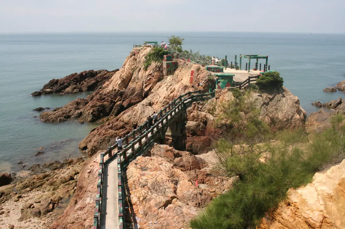
The exact same view of the sign above.
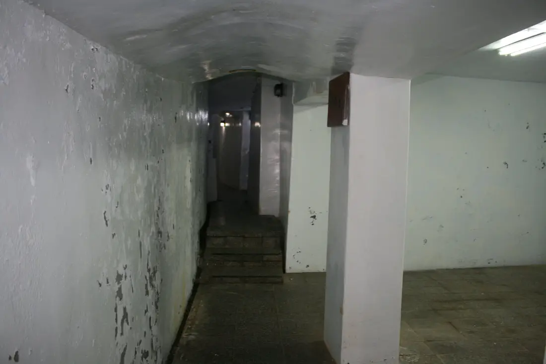
Storage rooms inside the fort.
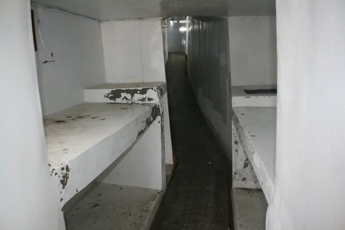
Concrete bunk beds for the soldiers.
Gun turret with spiked concrete in the ceiling.
The coral rocks here are covered in glass. Not a fun place to rock climb.
View looking back on the fort.
Ren'ai Village 仁愛村 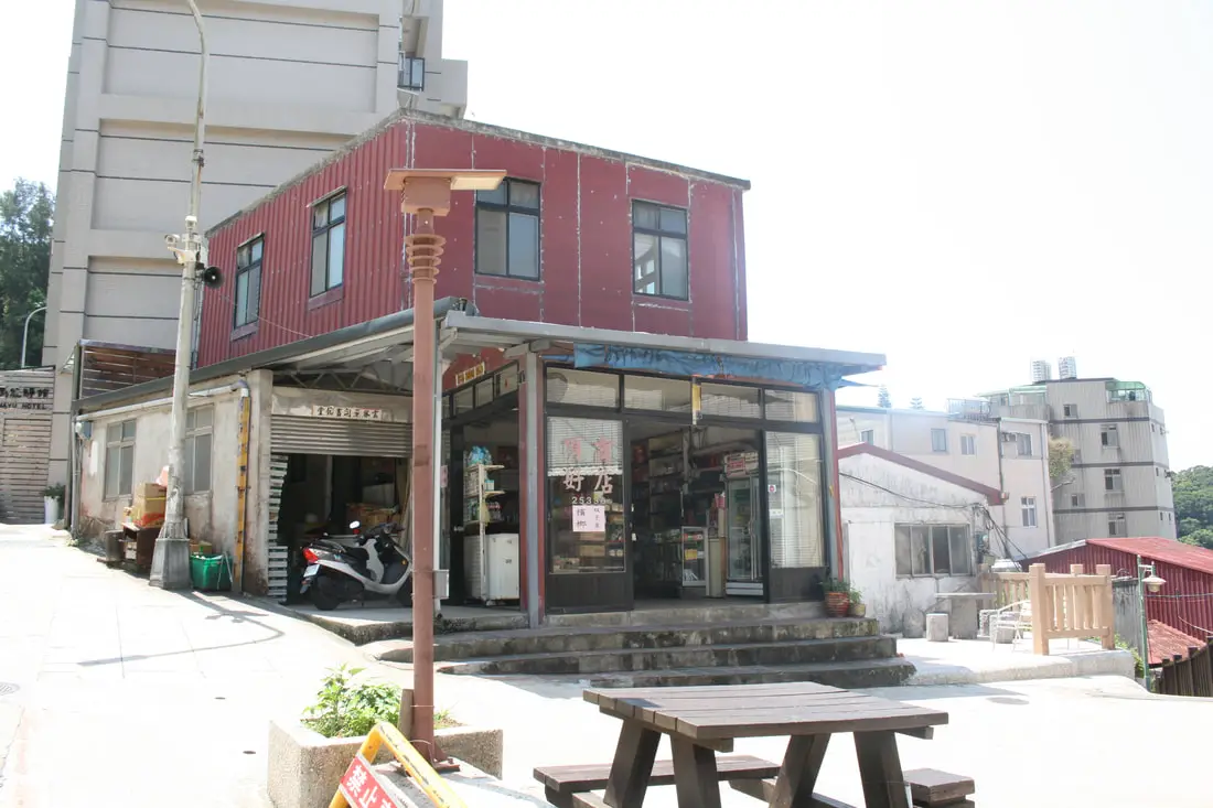
Ren'ai village sits right next to Iron fort There are some cute restaurants here, but that's about it.
Another view of Ren'ai village during the day.
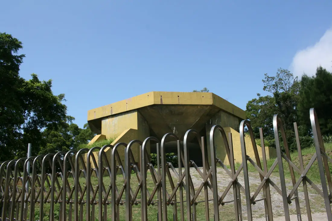
One of the many artillery bunkers around Matsu.
Memorial to Sun Yat-sen, the founder of the Republic of China (ROC).
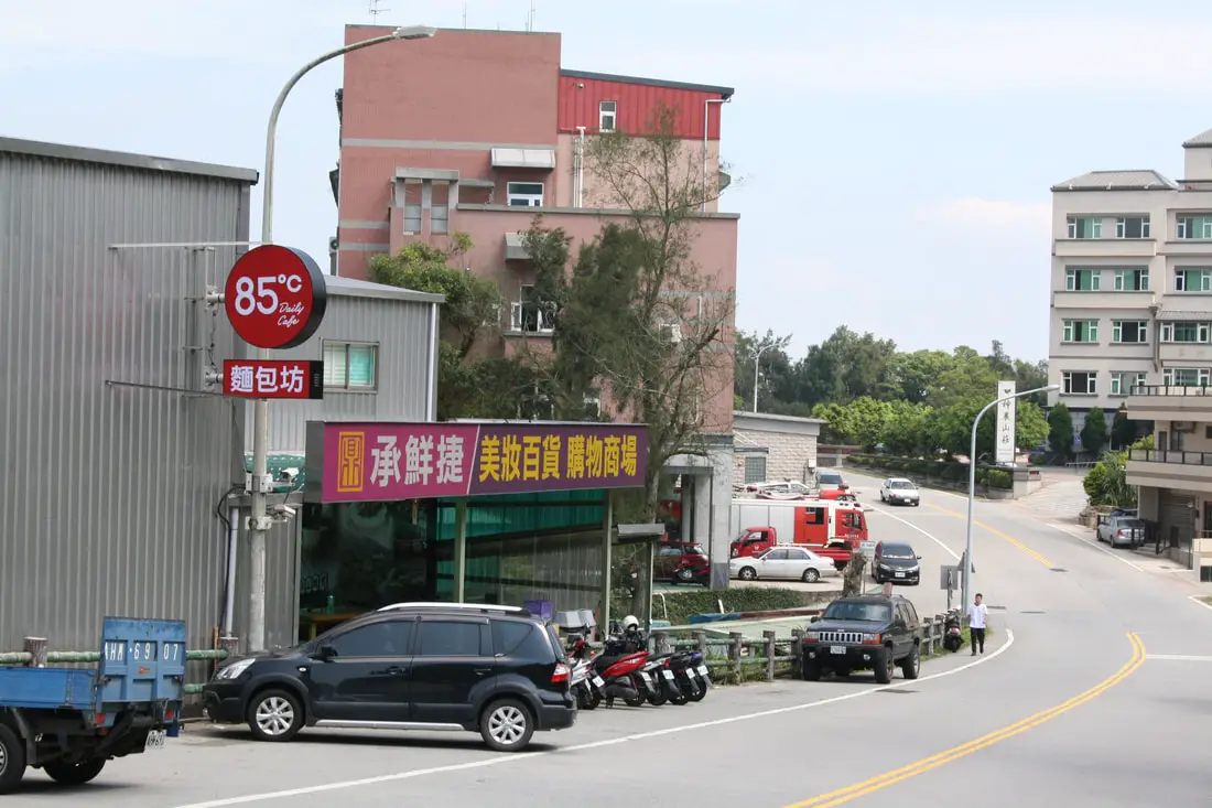
A little bit down the road from Ren'ai village you can find the only grocery store on the island, Meizhuang Store (美妝百貨商場) which is right next to 85°C. If you need some cheap food on the island, come here.
An abandoned building near Ren'ai Village dedicated to CKS.
A grown over pavilion next to the abandoned building.
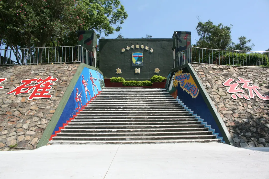
Training ground for troops near Ren'ai village.
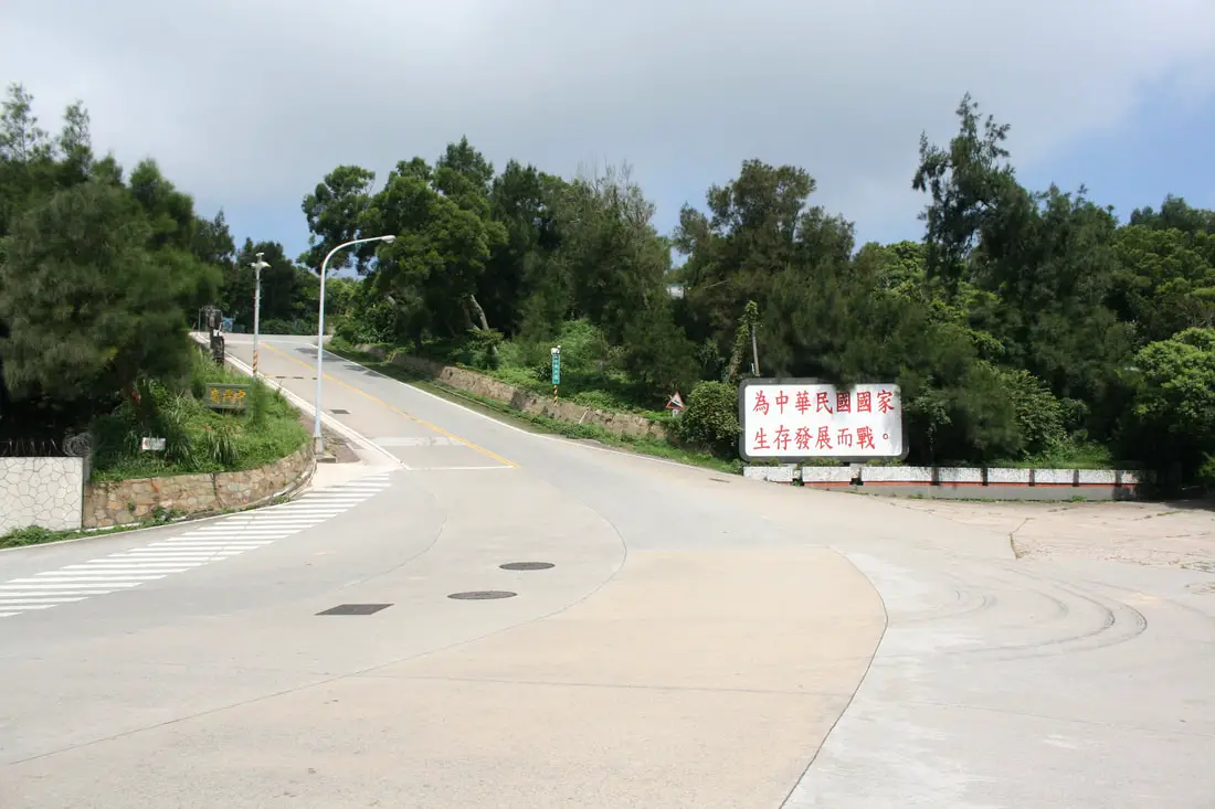
More propaganda by the roadside. This one says "Fight for the survival and development of the Republic of China."
Nangan Visitor Center 南竿游客中心 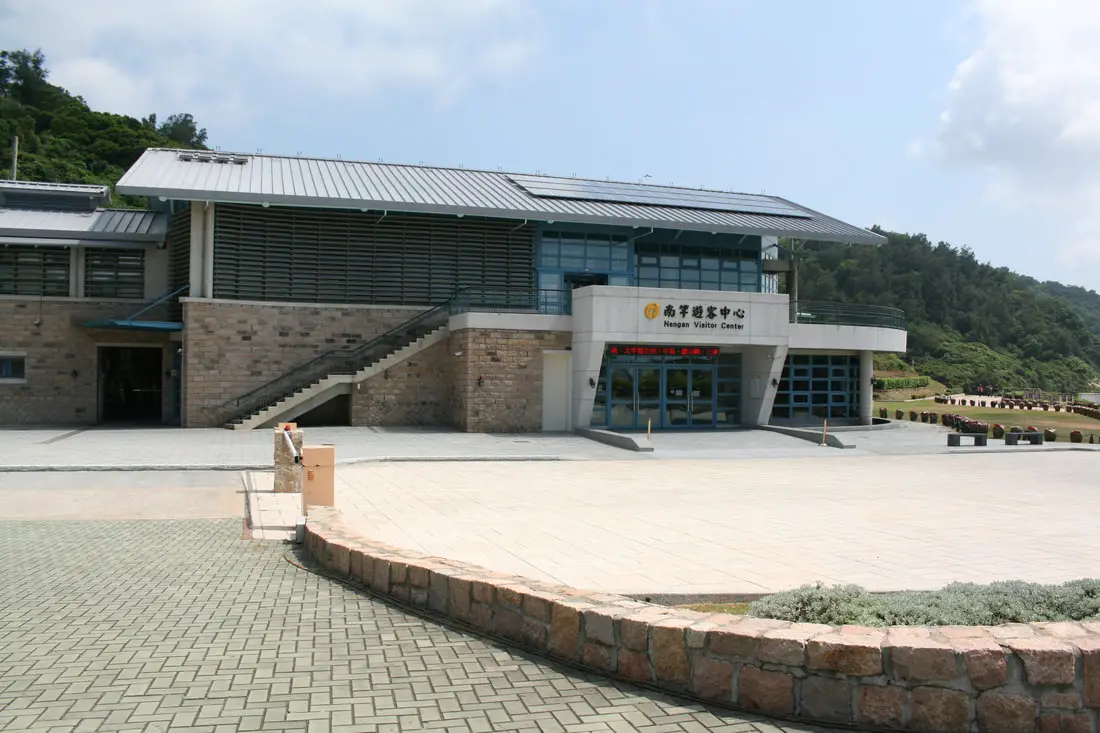
Nangan visitor center lies on the west side of Ren'ai Village. It has A/C, and you can visit the Beihai Tunnel and Dahan Stronghold which are within walking distance.
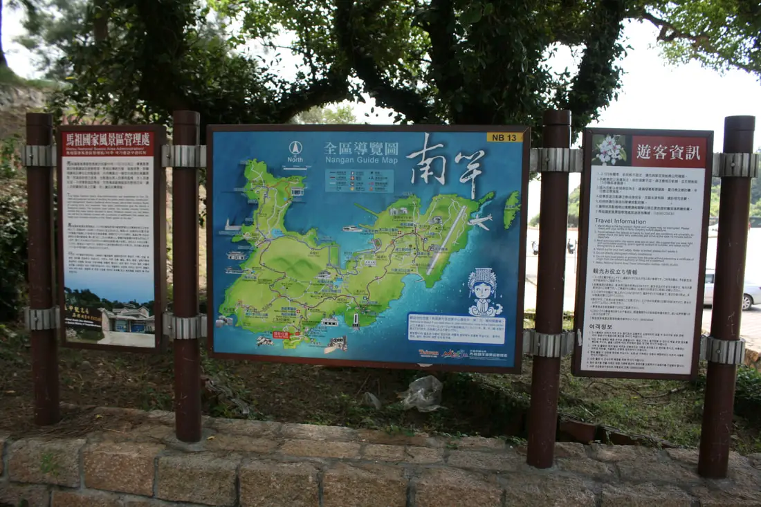
Map of Nangan with more information about the island.
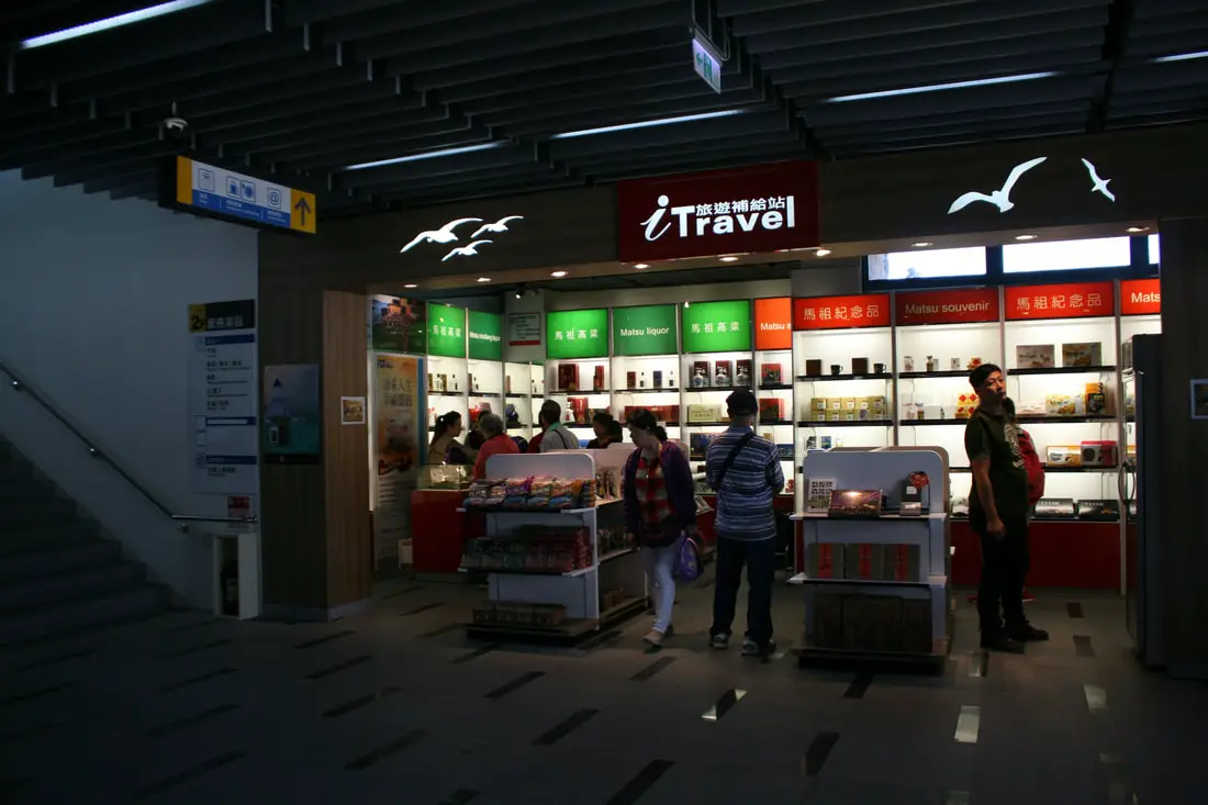
Gift shop inside the visitor center.
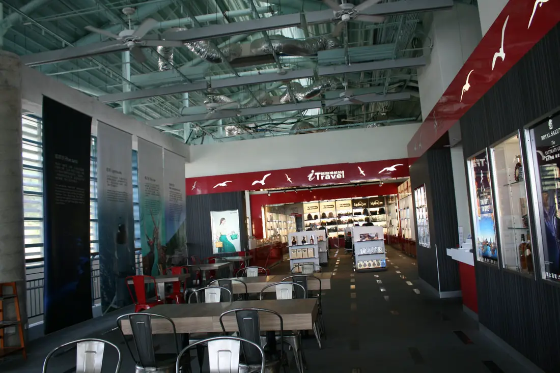
Upstairs there was another gift shop and an empty eating area.
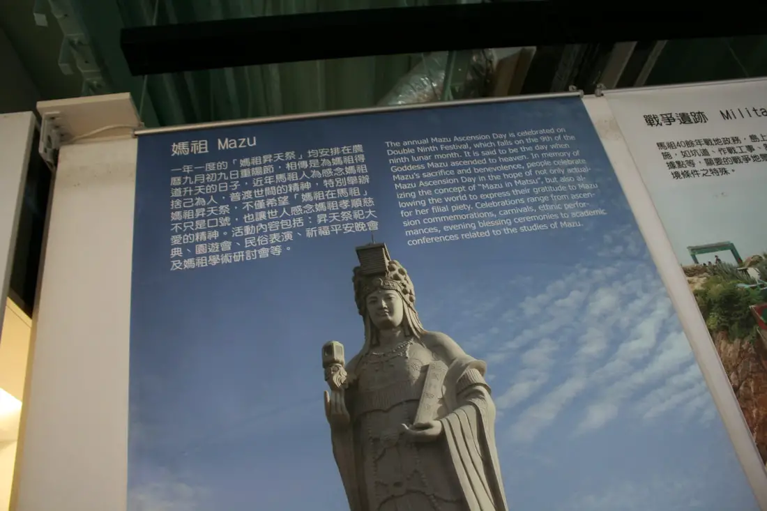
"Mazu"
"The annual Mazu Ascension Day is celebrated on Double Ninth Festival, which falls on the 9th of the ninth lunar month. It is said to be the day when Goddess Mazu ascended to heaven. In memory of Mazu's sacrifice and benevolence, people celebrate Mazu Ascension Dau in the hope of not only actualizing the concept of "Mazu in Matsu," but also allowing the world to express their gratitude to Mazu for her filial piety. Celebrations range from ascension commemorations, carnivals, ethnic performances. evening blessing ceremonies to academic conferences related to the studies of Mazu." 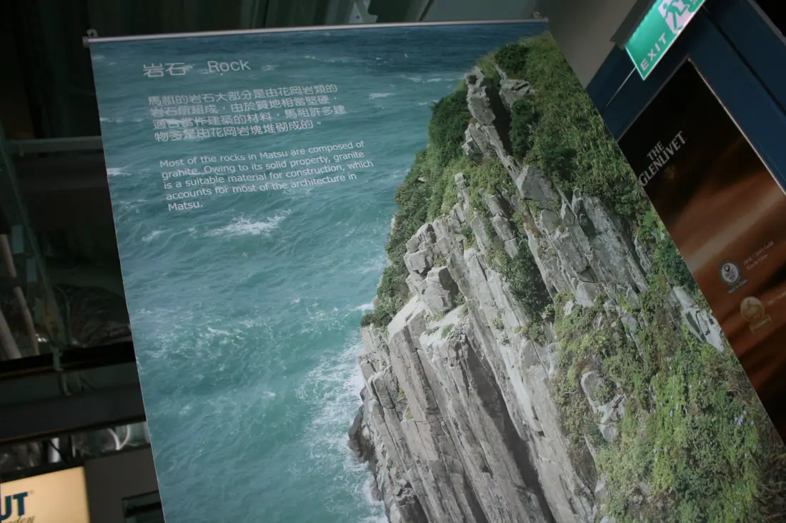
"Rock"
"Most of the rocks in Matsu are composed of granite. Owing to its solid properties, granite is a suitable material for construction, which accounts for most of the architecture in Matsu." 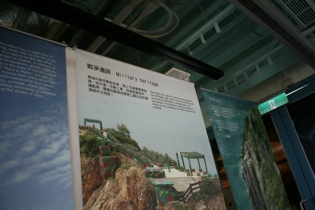
"Military Heritage"
”More than forty years of wartime administration has left Matsu with various military facilities, such as tunnels, fortifications, vantage points, and strongholds. The distinctive wartime landscape brings out the uniqueness of Matsu's natural environment." 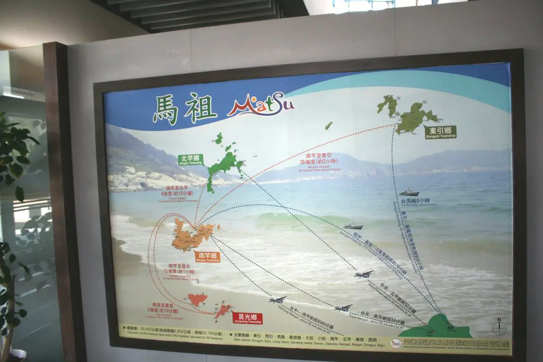
Map of Matsu and the various routes to get there via plane and boat.
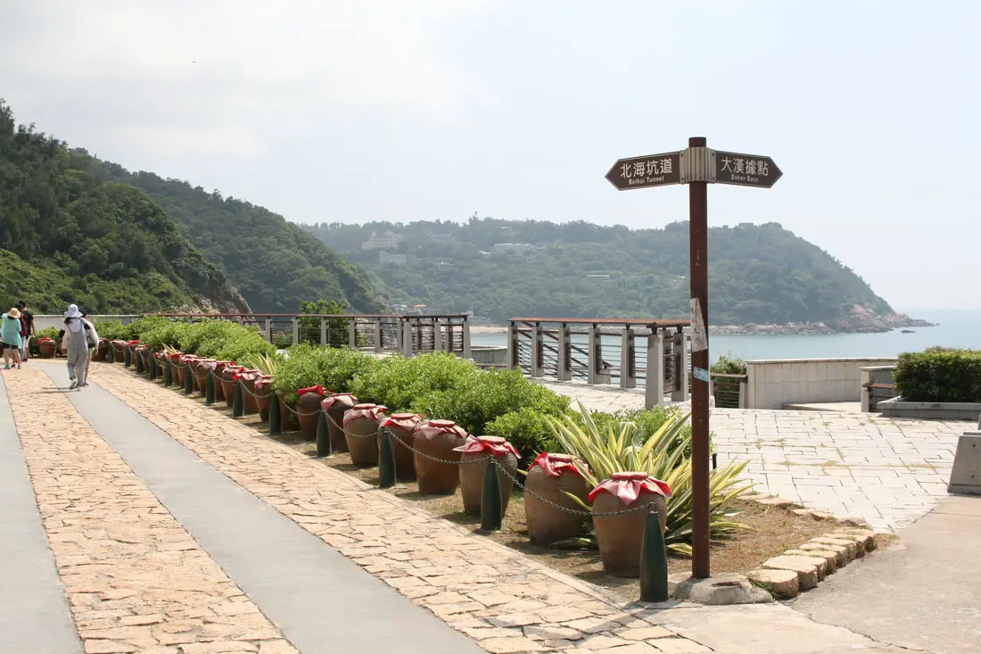
Outside you can find the road to the beihai tunnel with quite a few wine jars sitting out to ferment.
The path down to Beihai tunnel, with a chain fence made of artillery pieces.
Memorial to the soldiers who died digging the tunnel.
Indian Head Rock 印第安人頭岩 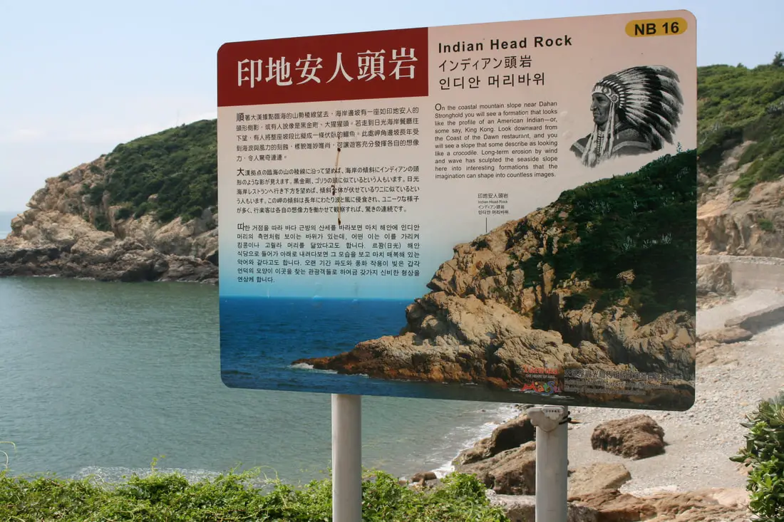
Indian head rock is a rock that looks like an "Indian Head" or some say King Kong. Erosion can do amazing things.
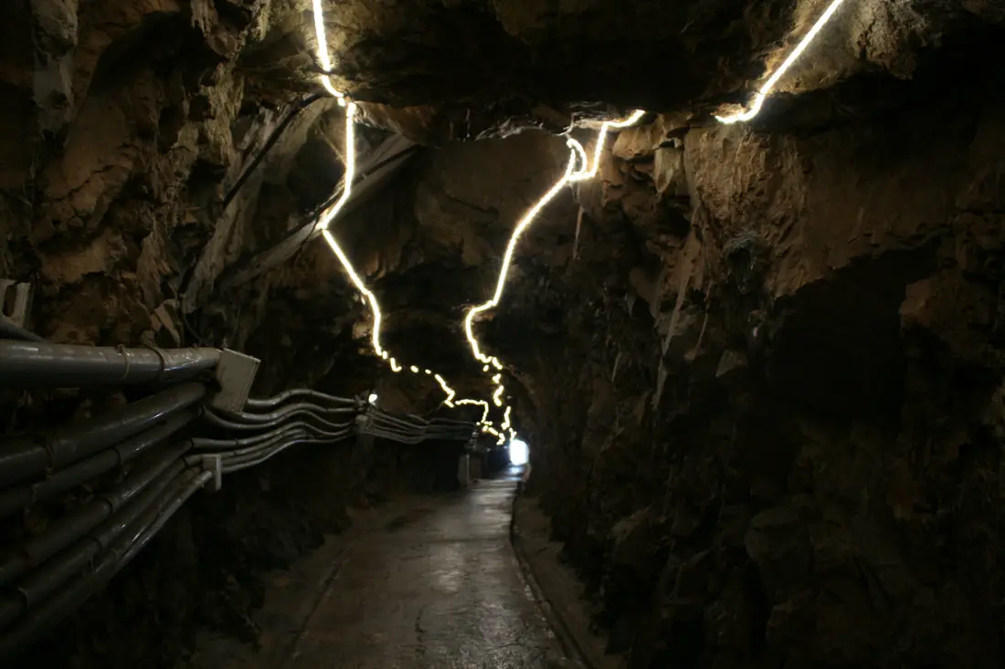
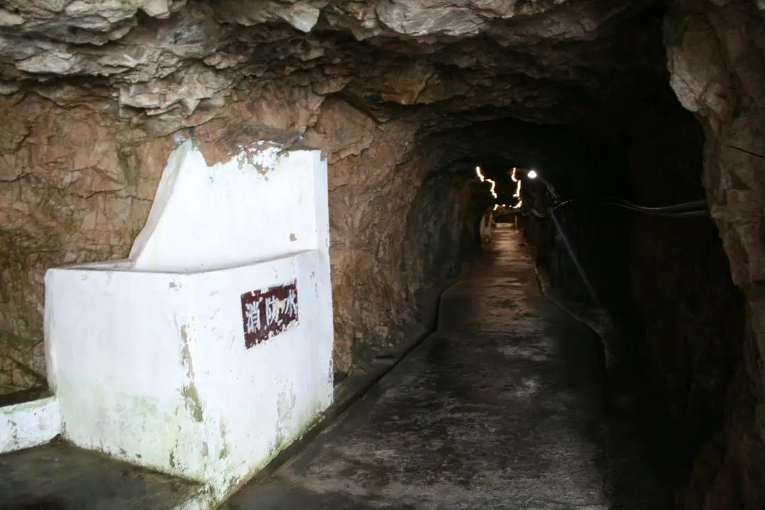
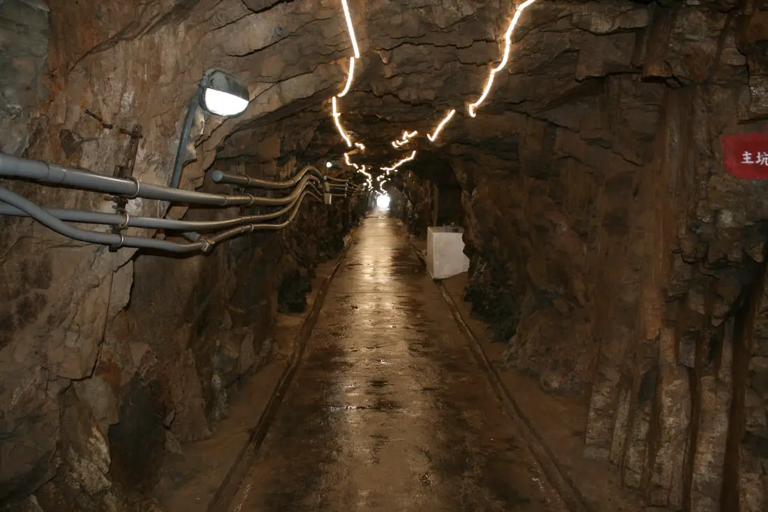
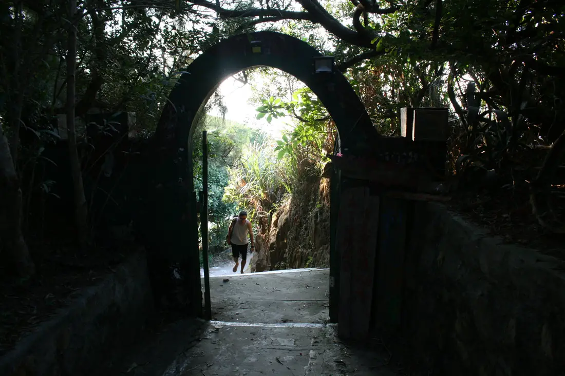
Beihai Tunnel 北海坑道 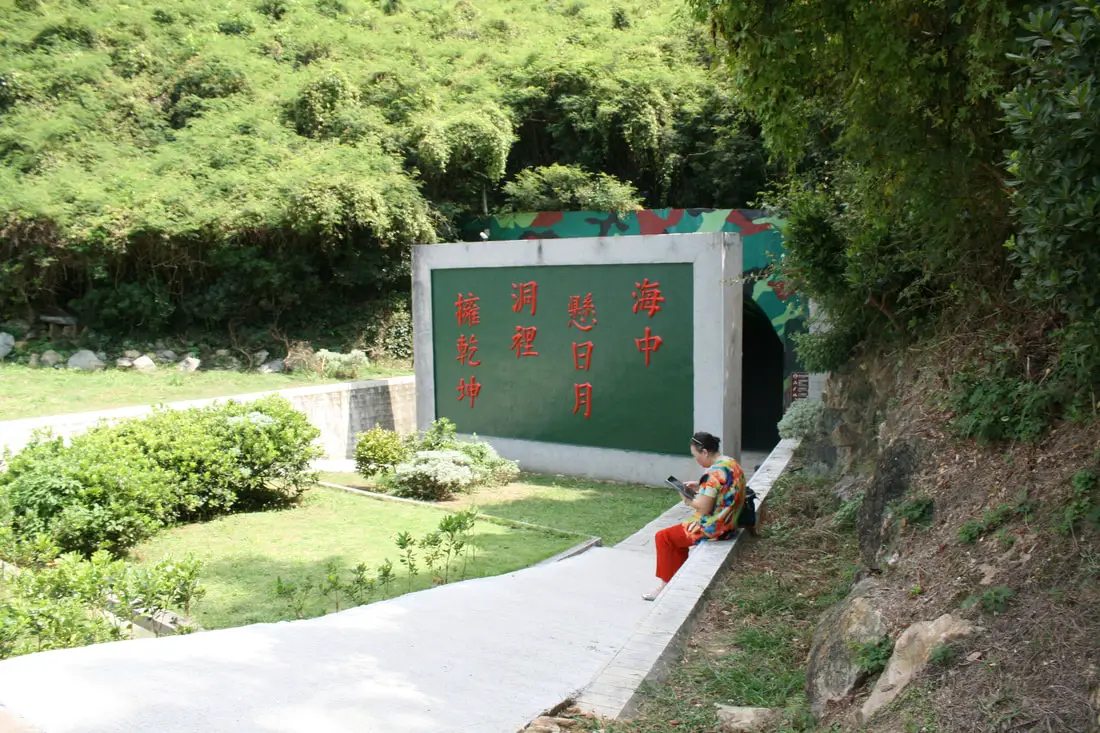
Entrance to the Beihai Tunnel.
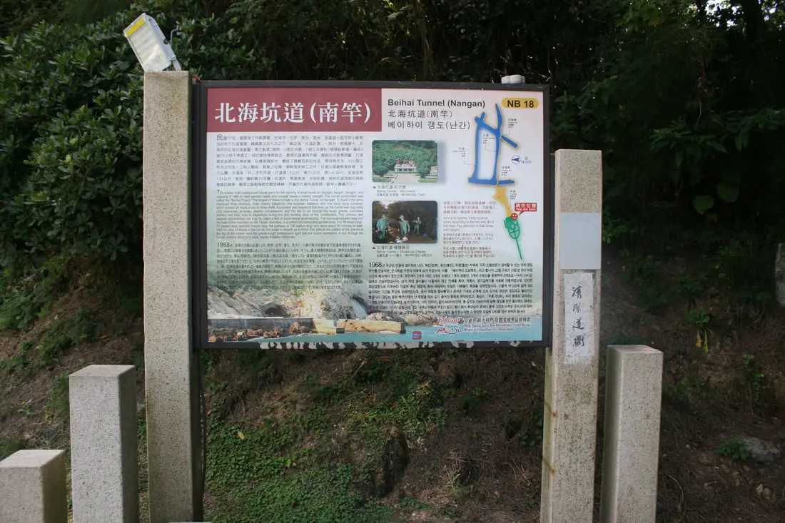
"Beihai Tunnel (Nangan)"
"The military built underground tunnel piers for the docking of small boats on Nangan, Beigan, Dongyin, and Juguang in 1968 to meet wartime needs and conceal Taiwan's military strength. This tunnel construction was called the "Beihai Project." The largest of these tunnels is the Beihai Tunnel in Nangan. To build it the army mobilized three divisions, three infantry battalions, one engineer battalion, and one dump truck company, which worked 24 hours a day in three shifts. Equipment was scarce at the time, so the tunnel was dug using only explosives, pickaxes, spades, compressors, and the like to cut through the tough granite. Countless soldiers lost their lives in explosions during 820 working days of the construction. This arduous and majestic achievement can truly be called a feat of supernatural workmanship. The tunnel penetrates deep into the belly of the mountain on the Tieban shoreline, in a pattern intersecting parallel lines. It is 18 meters high, 10 meters wide, and 640 meters long, the pathway is 734 meters long, and takes about 30 minutes to walk. With no wind or waves in the tunnel, the water is smooth as a mirror that reflects the pattern of the granite at the top of the tunnel, and the granite-tough battleground spirit that the tunnel represents. A tour through the tunnel, whether afoot or by boat, leaves inedible memories." 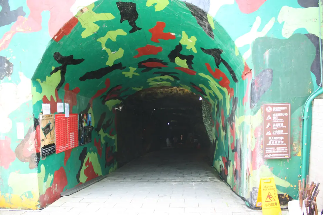
Entrance to the tunnel.
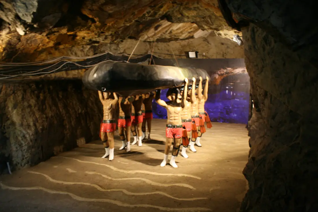
Manakin soldiers carrying a raft.
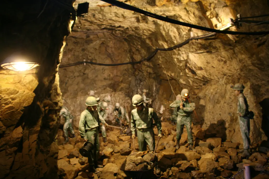
Manakin soldiers picking up some stone that were just dynamited.
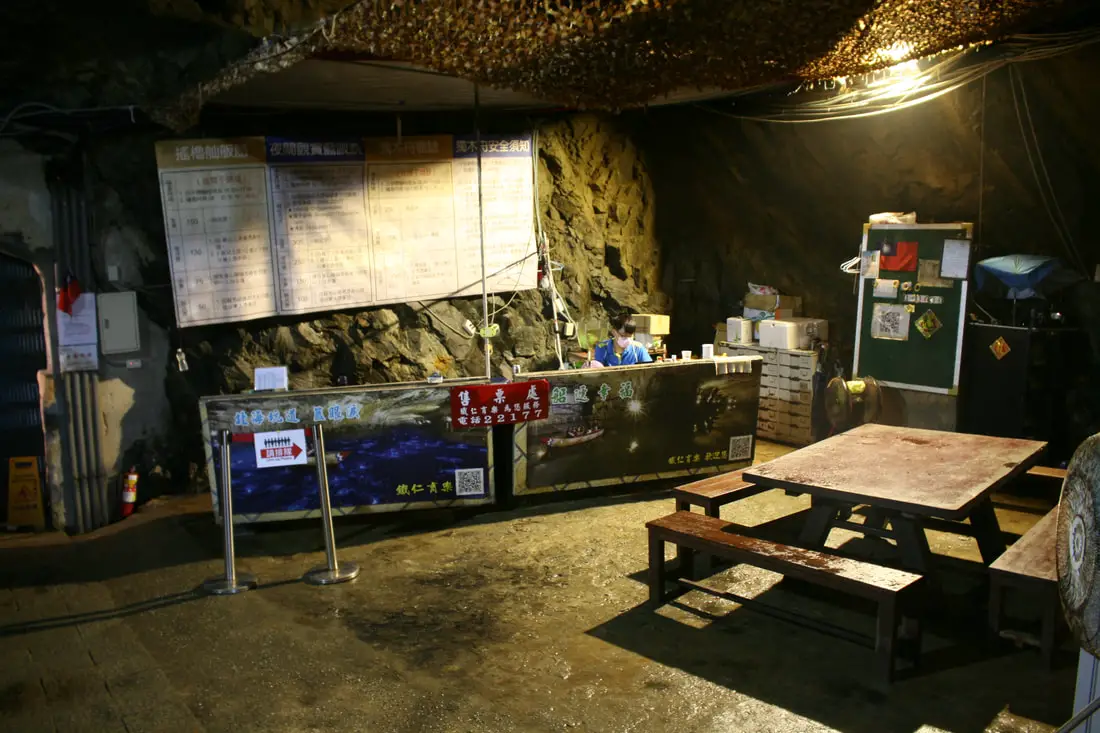
Here you can purchase a canoe tour for 150 NT, or some other experiences in the tunnel. I kind of regret that I didn't go.
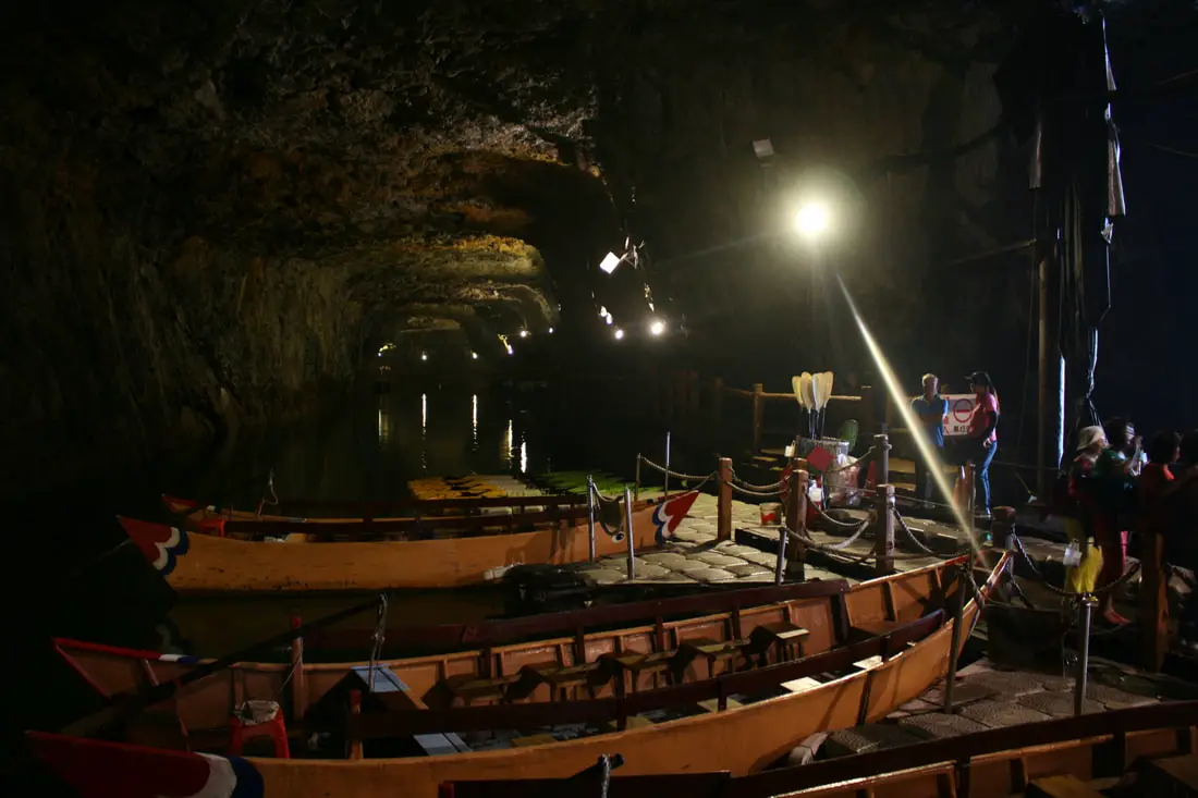
Some canoes waiting for tourists to come ride on them.
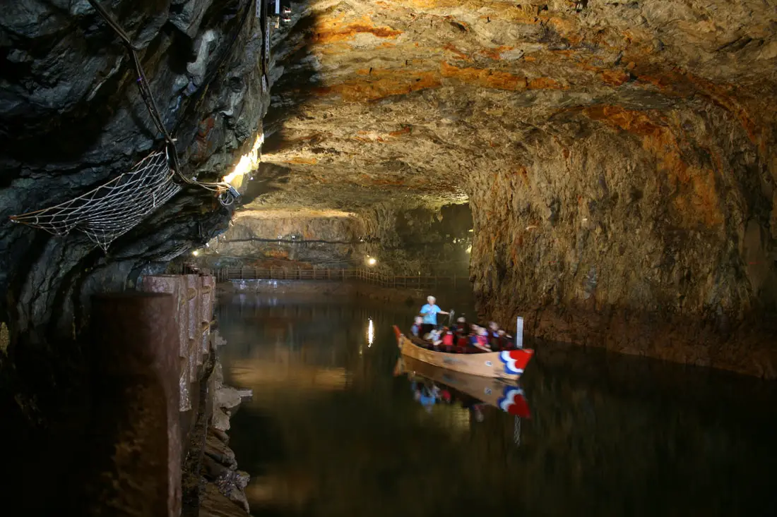
Some tourists riding through the tunnel.
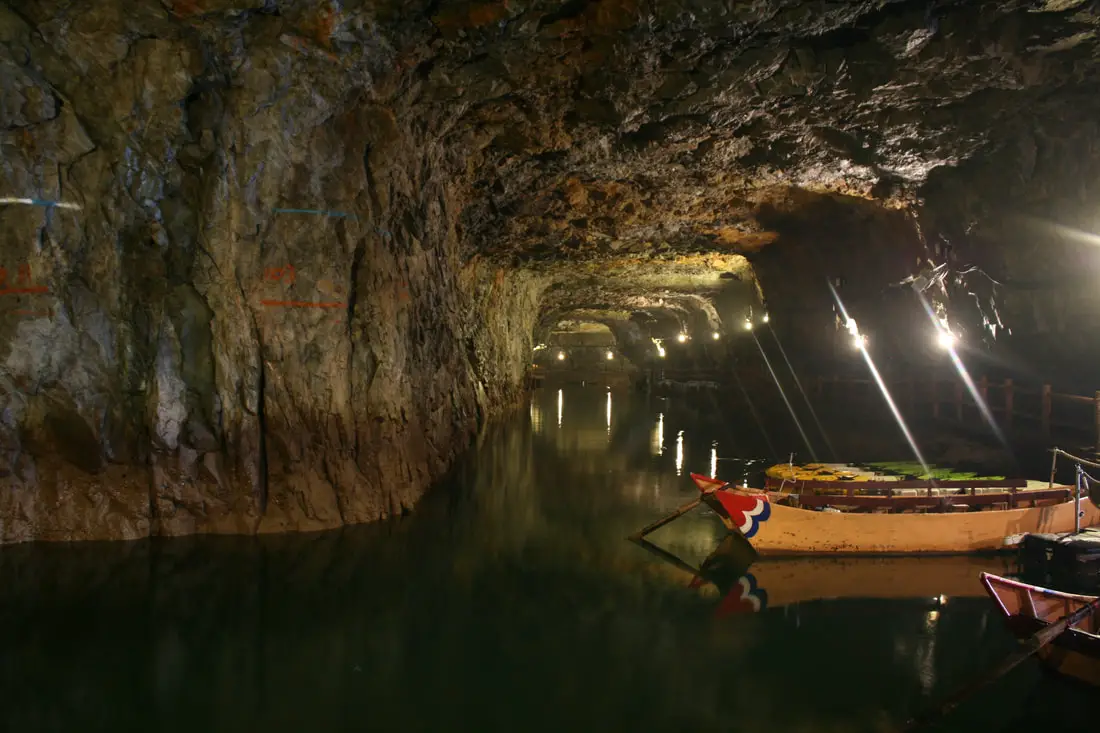
Another view of the tunnels.
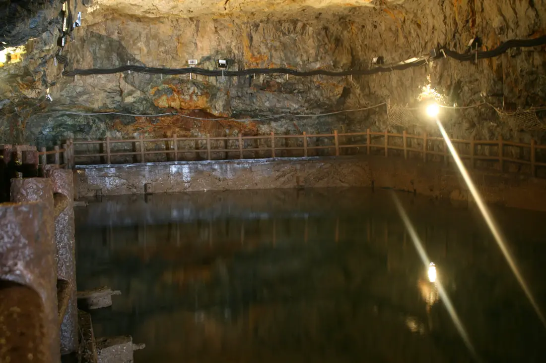
The end of one of the tunnels.
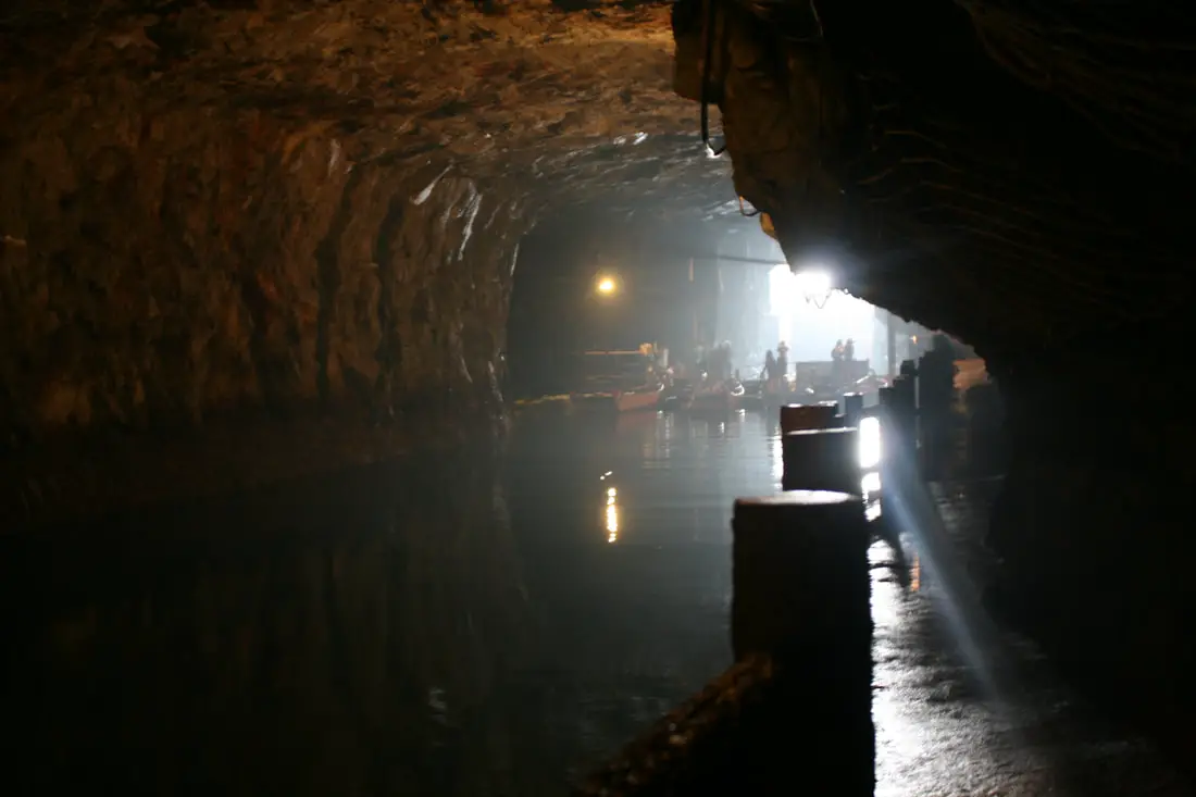
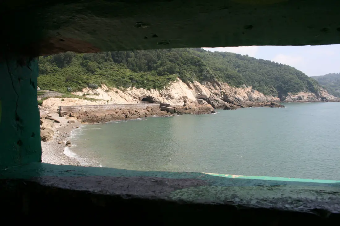
Looking at the exit toward the sea.
This is what the tunnels look like from the outside.
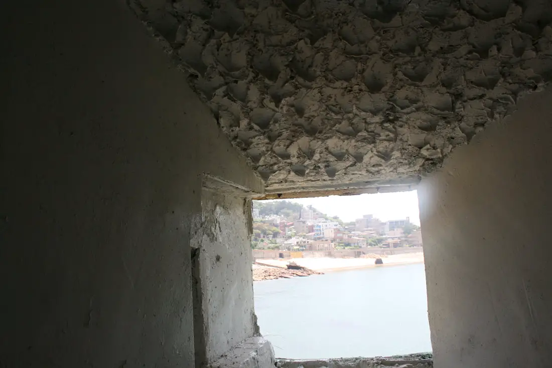
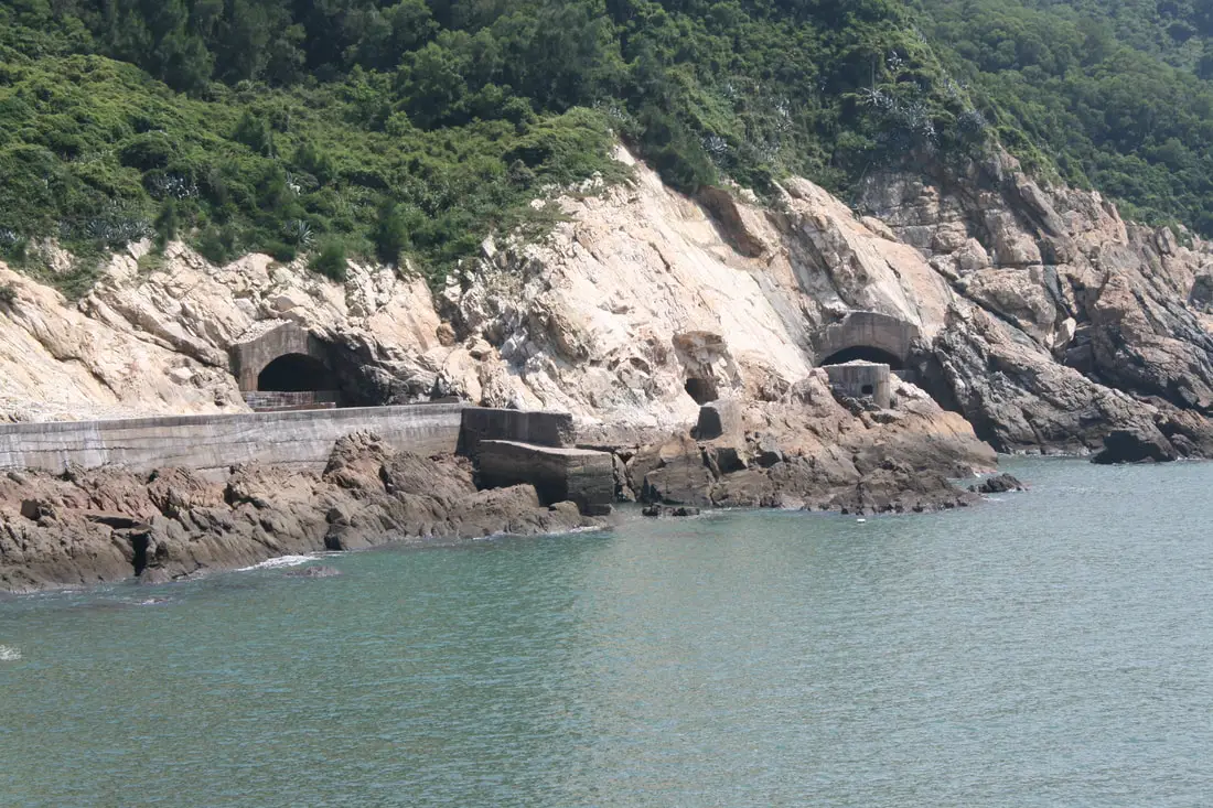
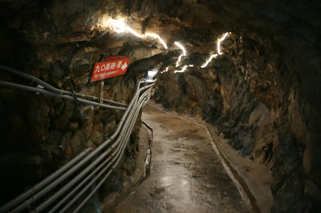
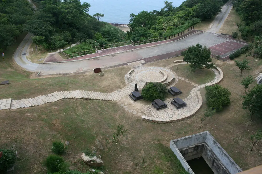
Dahan Stronghold 大漢據點 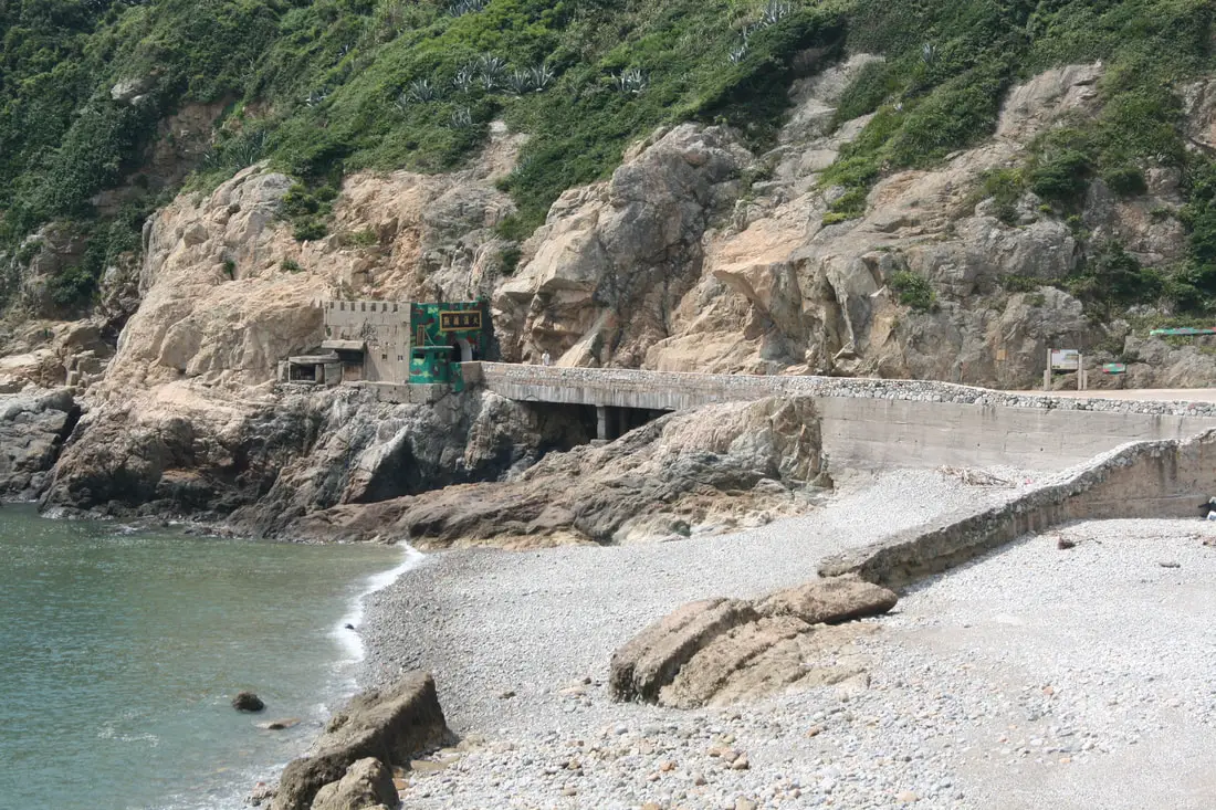
Dahan Fort might be the largest fort open to the public in Matsu. It is only about 100 meters away from the Nangang Visitor's Center.
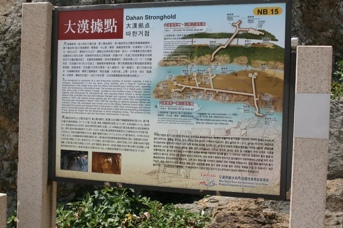
"Dahan Stronghold"
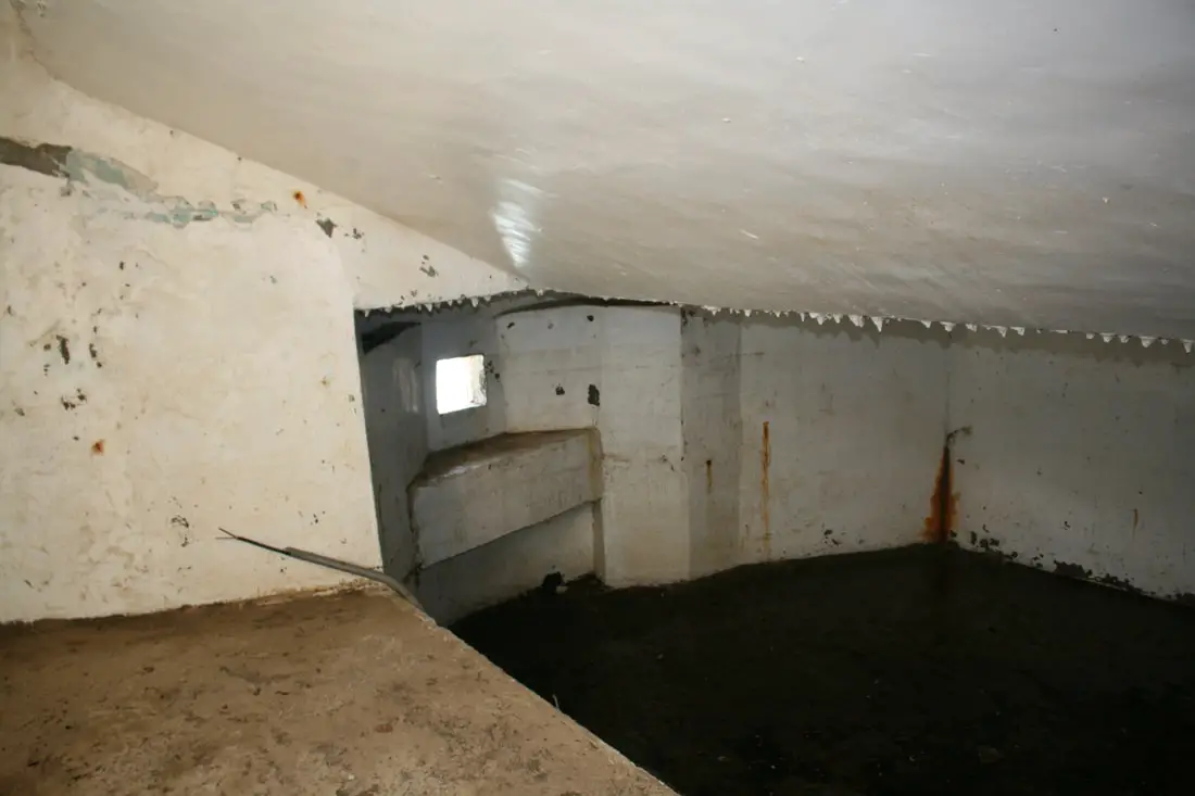
"This stronghold is comprised of a rare three-level complex of tunnels; originally, it had a company headquarters in the top level, and four 90mm anti-aircraft guns, briefing room, assembly room, and storerooms in the bottom level. The tunnels are about 1.2-2 meters wide, 2 meters high, and a total of 430 meters in length. Located on the southern coast of Nangan, Dahan, together with Stronghold 33, Stronghold 46, and Juguang Island formed a dense crossfire network that controlled the sea area between Nangan and Juguang. Digging on the tunnels started in 1975, with infantry troops working day and night with simple tools and explosives. The work was completed in March 1976. With the warming of relations between Taiwan and mainland China, the stronghold was turned over to the Matsu National Scenic Area, which renovated the tunnels and opened them to the public in 2006. Each machine-gun and cannon port in the tunnels opens onto the sea; the whole place is filled with the forbidding atmosphere of war, giving an insight into the tenseness of those dangerous times. The entrance to the stronghold is a fine place to view the "Blue Tears" phenomenon in the sea." 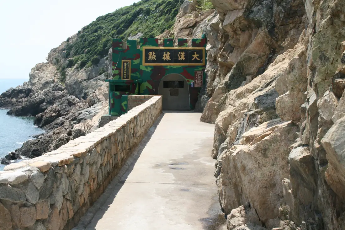
The entrance to Dahan Stronghold.
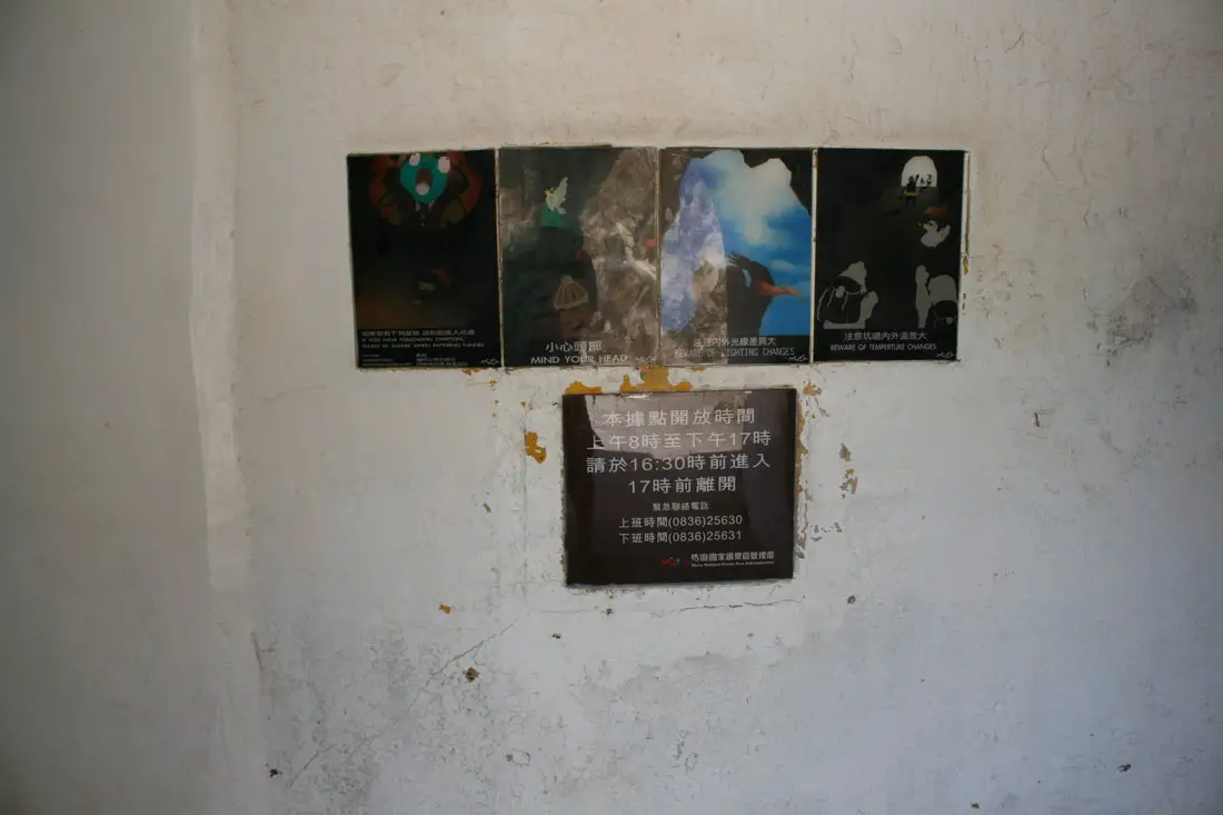
Visitors are not allowed after 4:30 PM and must leave by 5 PM.
View in one of the tunnels. They hand some Christmas light-type things on the ceiling which looks pretty cool.
View inside one of the artillery rooms.
View outside one of the turrets.
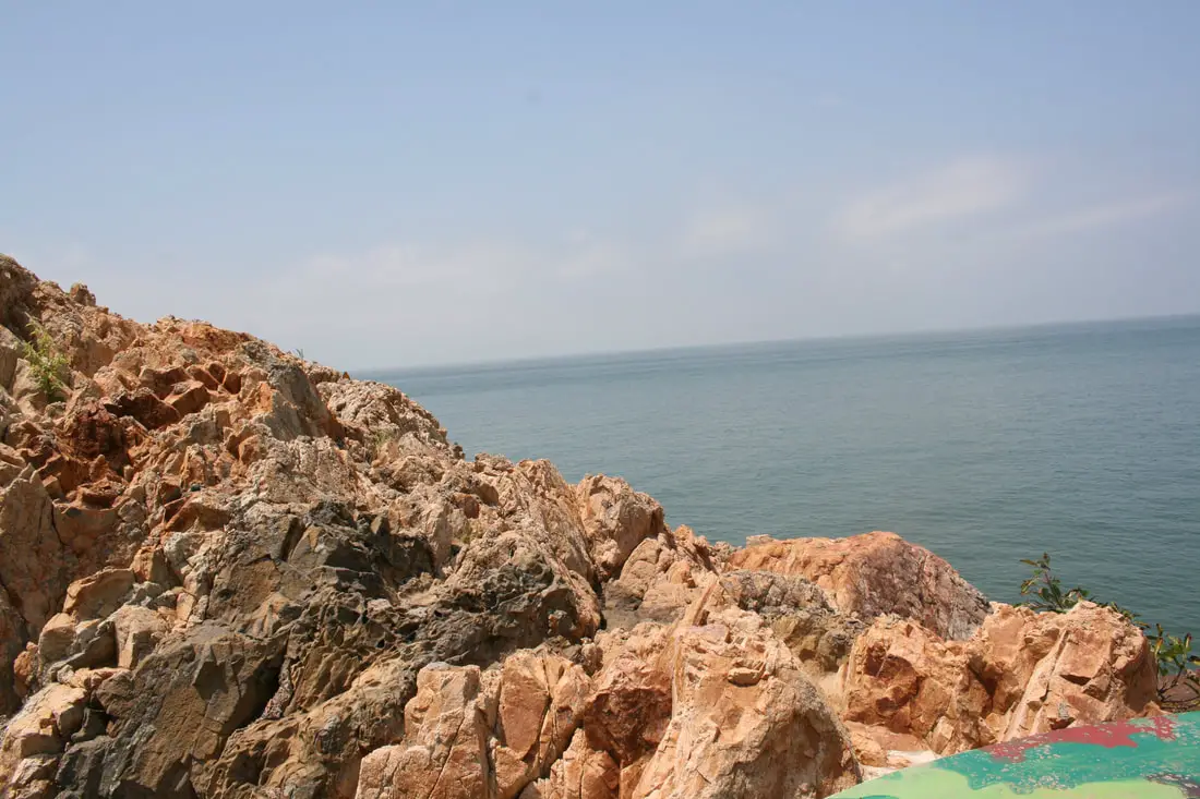
The rocks here are also covered in cemented glass shards, much like the rocks at Iron Fort.
View back into the caves. In the past the concrete basin on the left was used to extinguis fires.
Another view inside the tunnels.
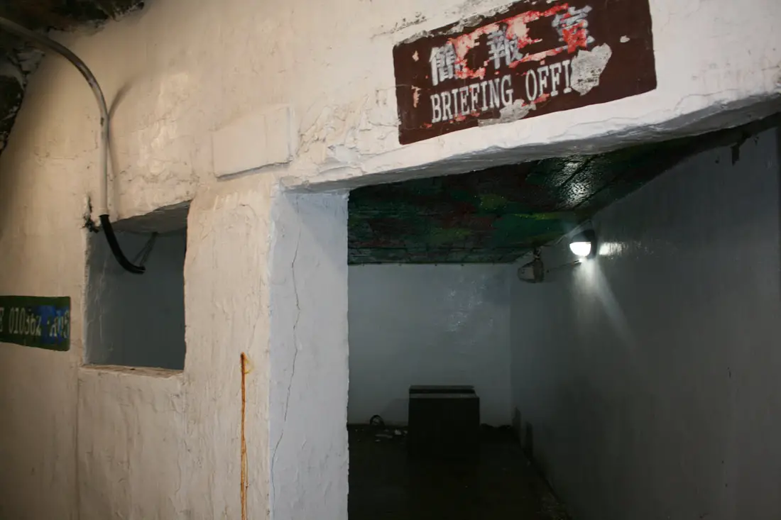
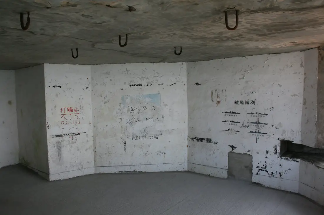
Briefing office inside the caves.
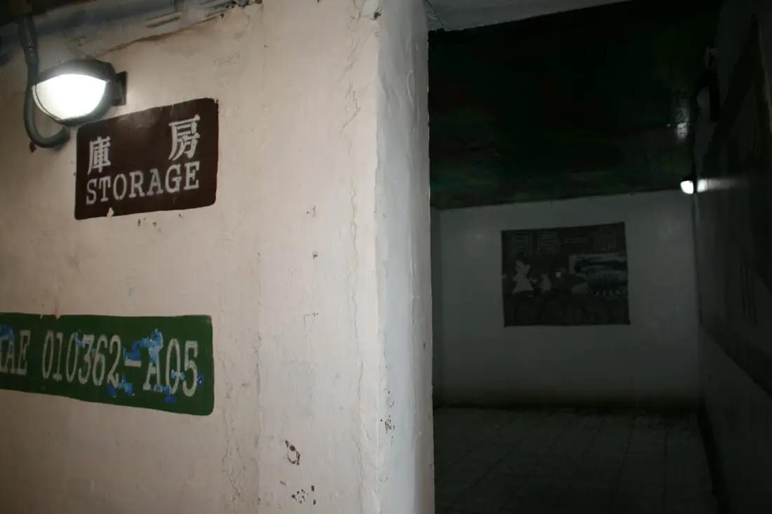
Storage room with some historical displays inside.
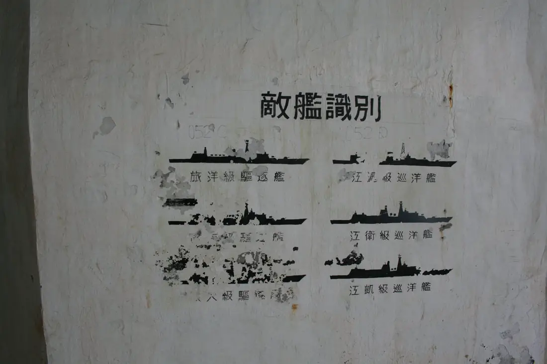
Chart of enemy ships.
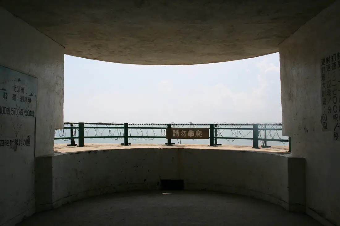
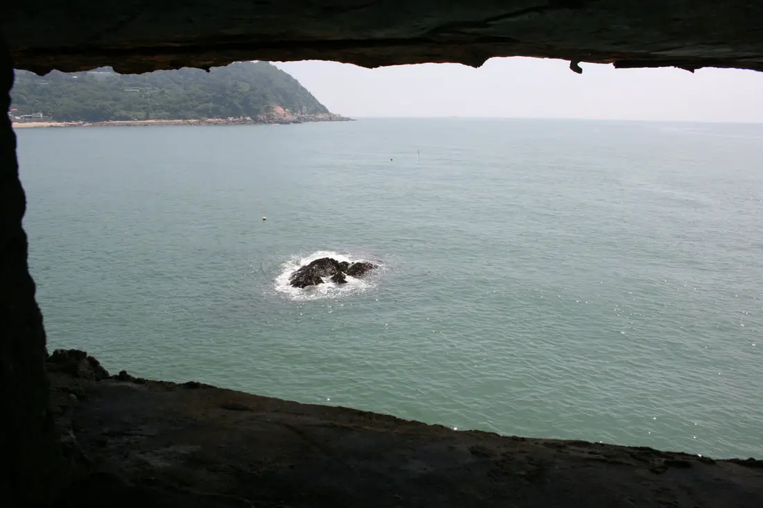
View from one of the turrets.
Small viewing holes looking into the sea beyond.
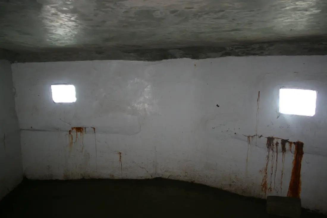
Another view of the tunnels.
Another turret closer to the entrance.
Another small turret.
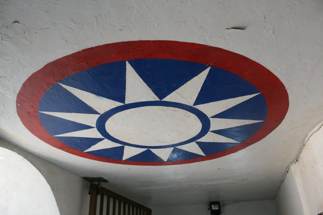
The KMT symbol marked clearly on the ceiling.
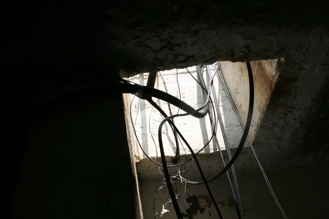
electric wires coming in from a hole above.
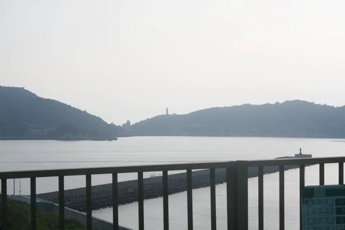
View of Beihai Tunnels.
The beach and area in front of the visitor's center. It looks like there is also an abandoned boat dock in the middle of the beach.
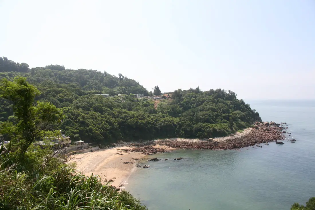
Small beach and village on the south side of the island.
Jieshou Village 介壽村 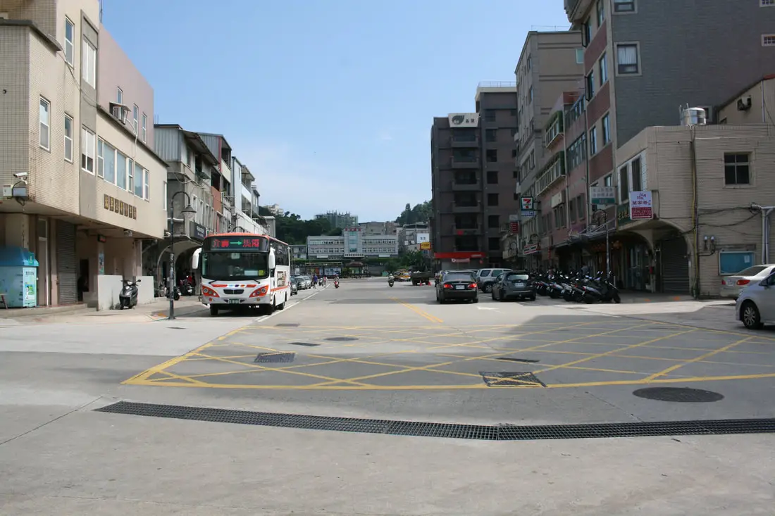
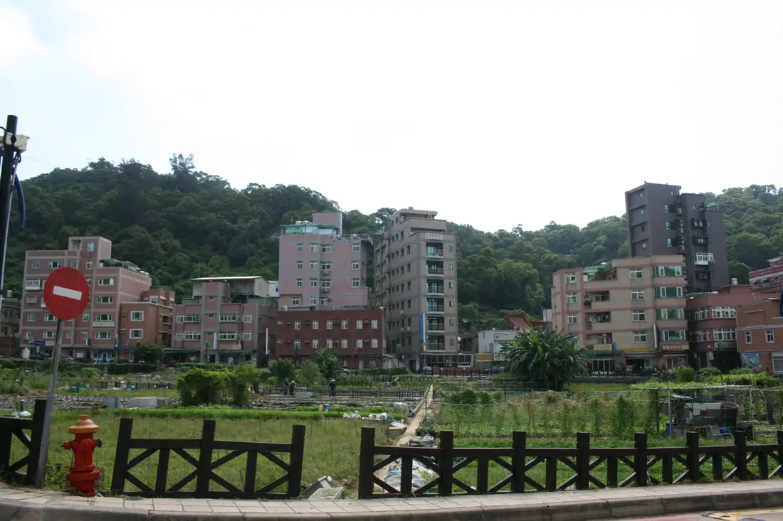
Jieshou Village is the largest village in Nangan, partly because it has the most flat land.
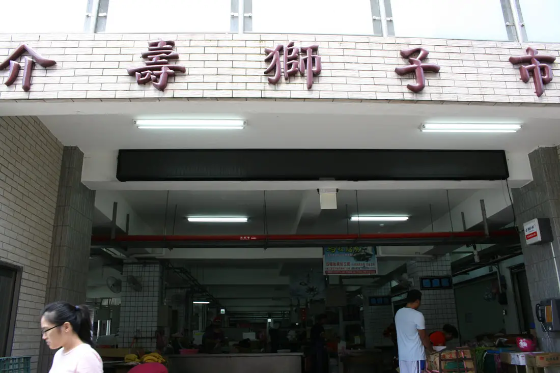
It also has one of the few fruit and vegetable markets in Matsu, at Jieshou Shizi Market (介壽獅子市場).
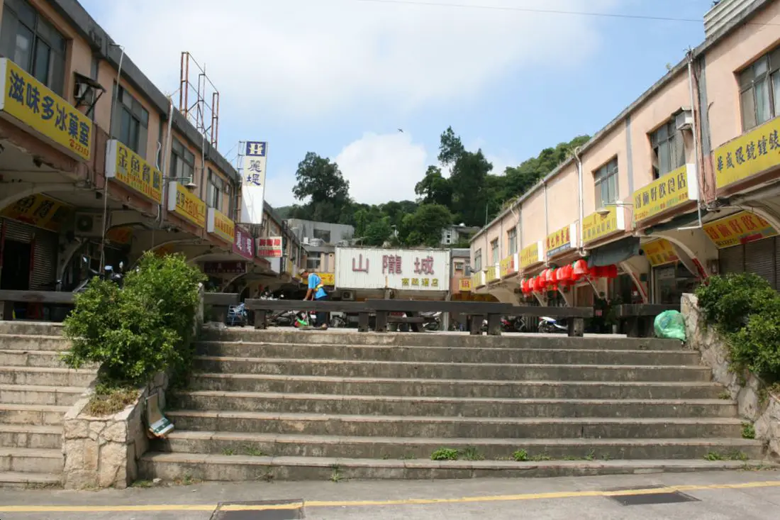
There is also a food court type place here called Shanlong Cheng (山隴城) which has some restaurants but looked pretty empty when I went there.
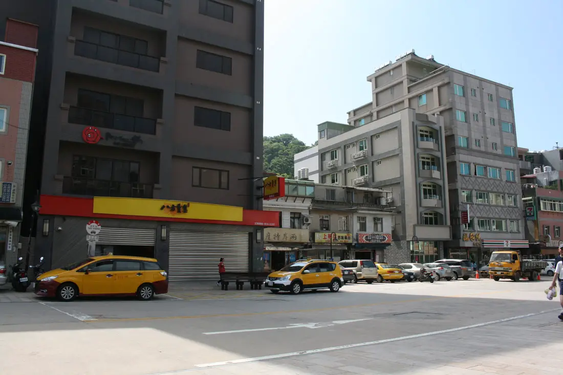
And there is a Bafang here! A Bafang in Matsu. For those that don't know, Bafang is the most popular dumpling Chain in Taiwan. Now you know you are at the center of civilization.
There is also a large public garden in the middle of town, where the retirees spend much of their time growing vegetables.
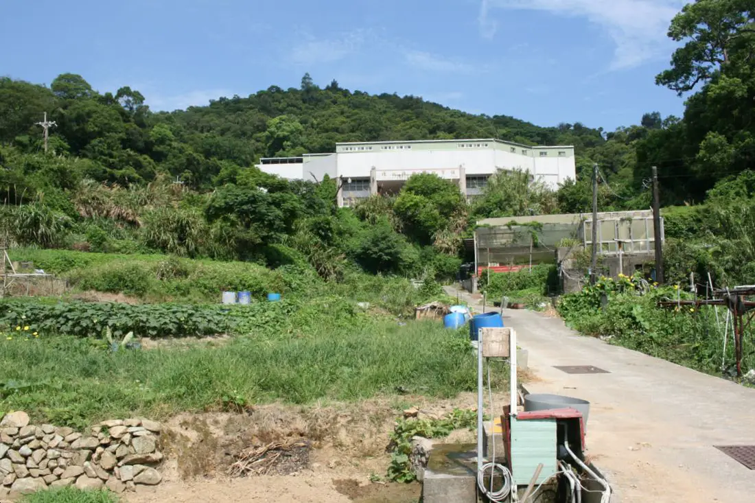
Up the road next to the village sports center you can find even more vegetable gardens.
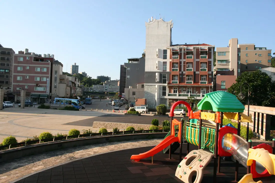
There is also a very large park and playground at the edge of the village, and a large parking lot below the park.
View looking down the street in Jieshou Village. The whole village sits on a slope.
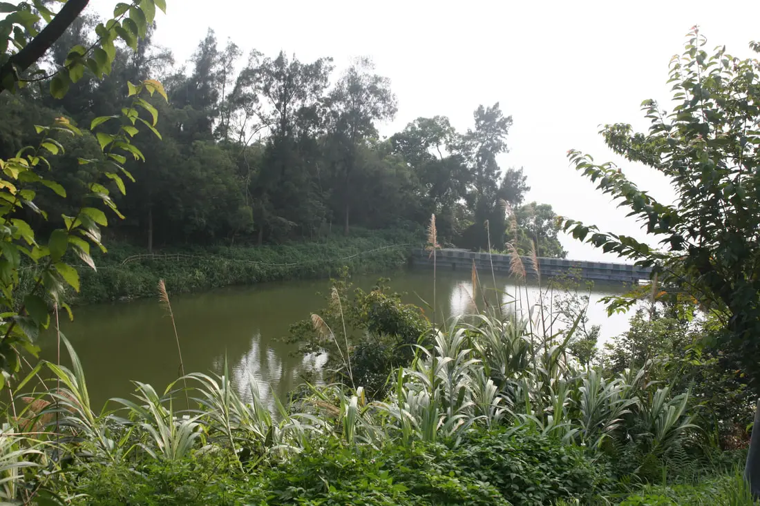
One of the many small reservoirs on the island.
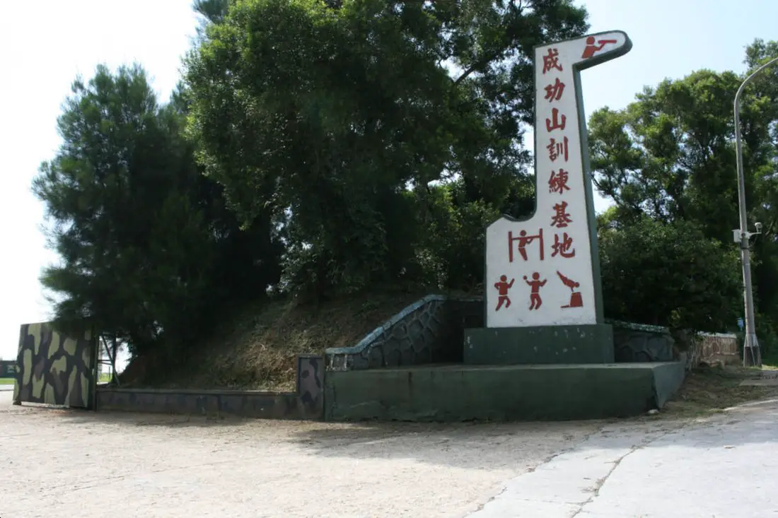
Another soldier training ground.
Tunnel 88 八八坑道 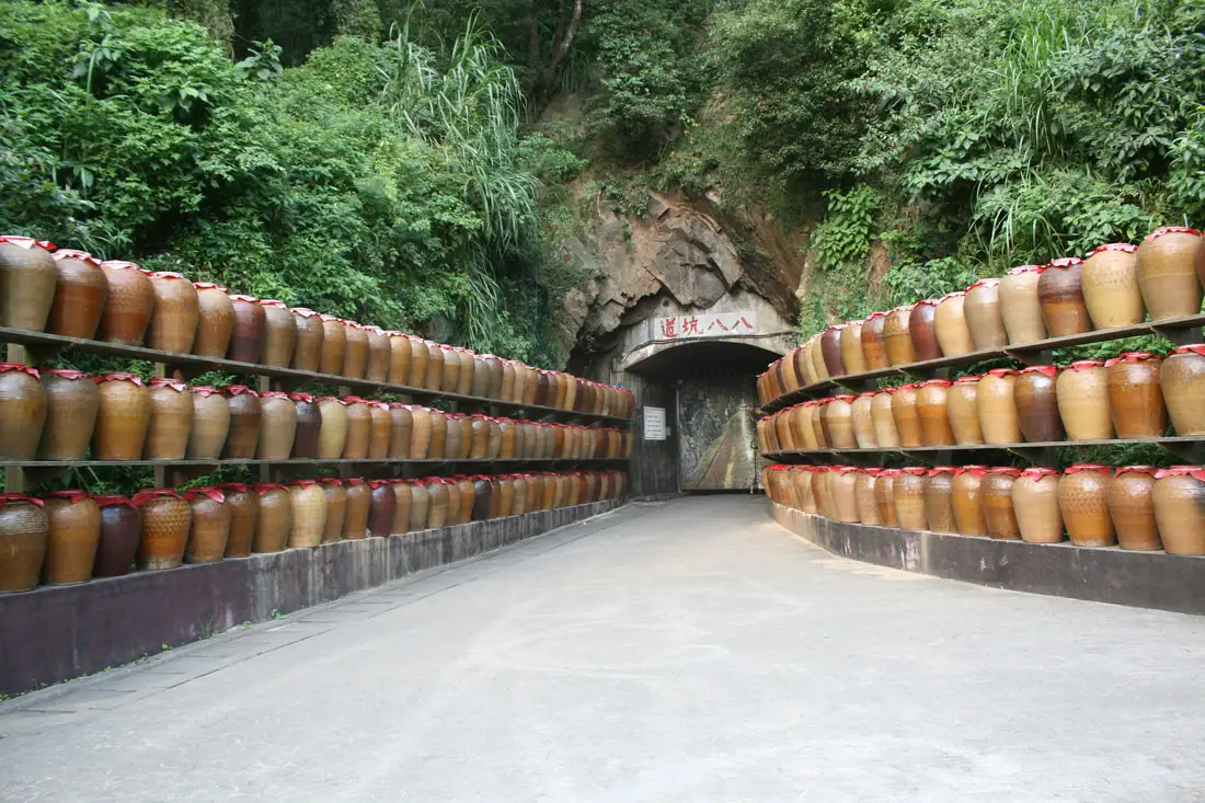
Another popular tourist spot in Nangan is Tunnel 88, which is used as storage for wine.
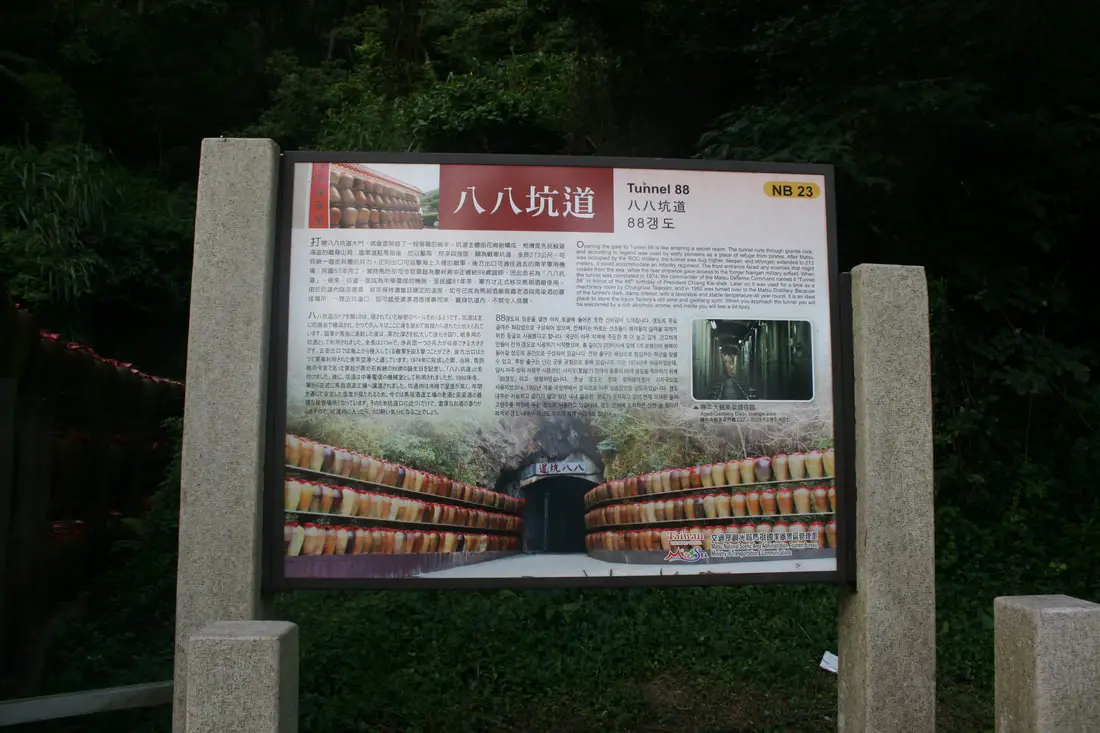
"Tunnel 88"
"Openeing the gate to Tunnel 99 is like entering a secret realm. The tunnel runs through granite rock, and according to legend was used by early pioneers as a place of refuge from pirates. After Matsu was occupied by the ROC military, the tunnel was dug higher, deeper, and stronger, extended to 273 meters. It could accommodate an infantry regiment. The front entrance faced any enemies that might invade from the sea, while the rear entrance gave access to the former Nangan military airfield. When the tunnel was completed in 1974, the commander of the Matsu Defense Command named it "Tunnel 88" in honor of the 88th birthday of President Chiang Kai-shek. Later on it was used for a time as a machinery room by Chunghwa Telecom, and in 1992 was turned over to the Matsu Distillery. Because of the tunnel's dark, damp interior, with a favorable and stable temperature all year round, it is an ideal place to store the liquor factory's old wine and gaoliang spirit. When you approach the tunnel you will be welcomed by a rich alcoholic aroma, and inside you will feel a bit tipsy." 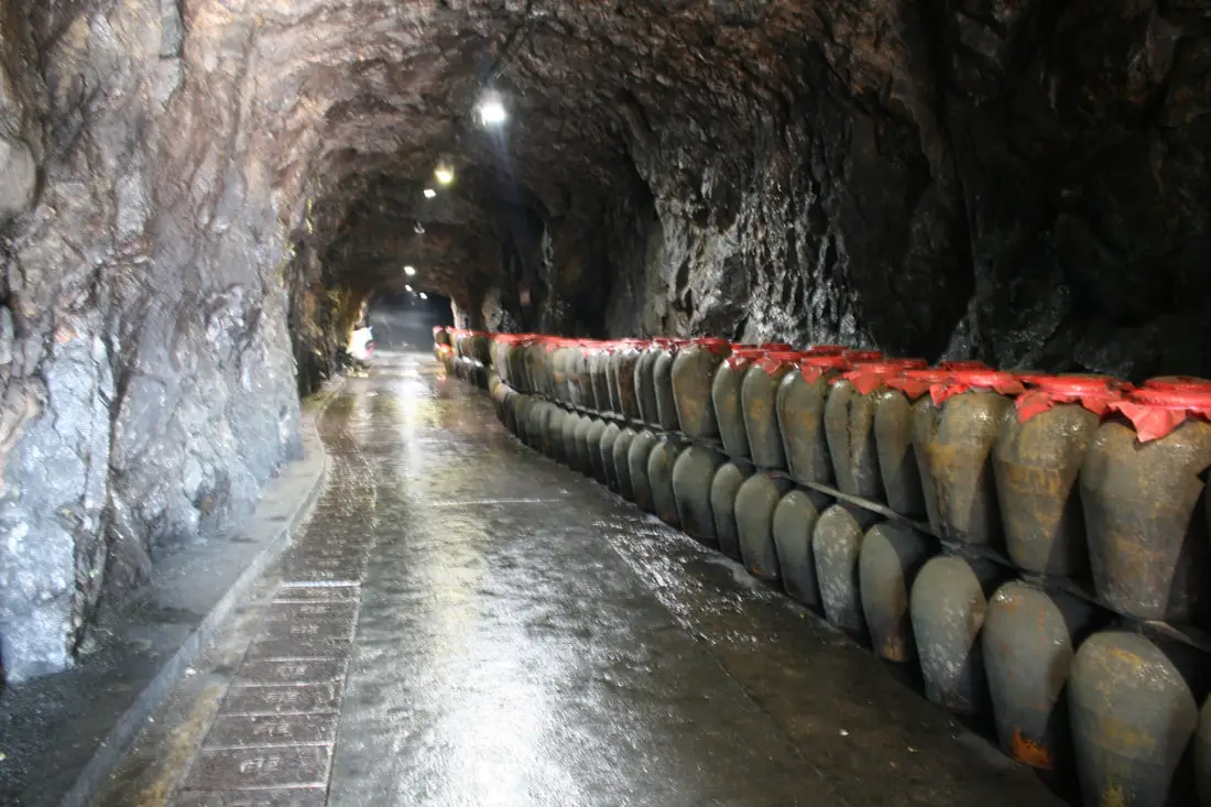
Yes, inside the tunnel the smell is quite strong, so I did not stay long.
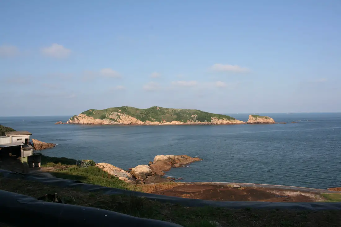
Huanggaun Islet just off the east coast. The east coast of Nangan is also where the garbage dump is located, and it is very smelly over there.
Another view of Beigan from the east side of the island.
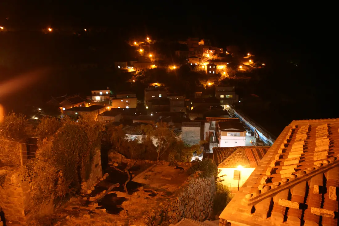
Niujiao Village 牛角聚落 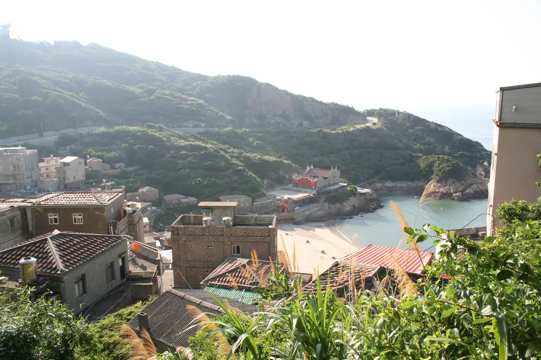
Niujiao is also a historic stone village on the northeast coast of the island. It has some well preserved stone buildings, and the beach here is popular for watching blue tears.
View of the village from the opposite side.
The village at night.
People looking for blue tears on the beach at night.
View looking toward Beigan at night.
Near Niujiao we also visited an old bunker turned coffee stand, with a nice view of the ocean.
Abandoned bunker nearby.
Mt. Yuntai 雲臺山 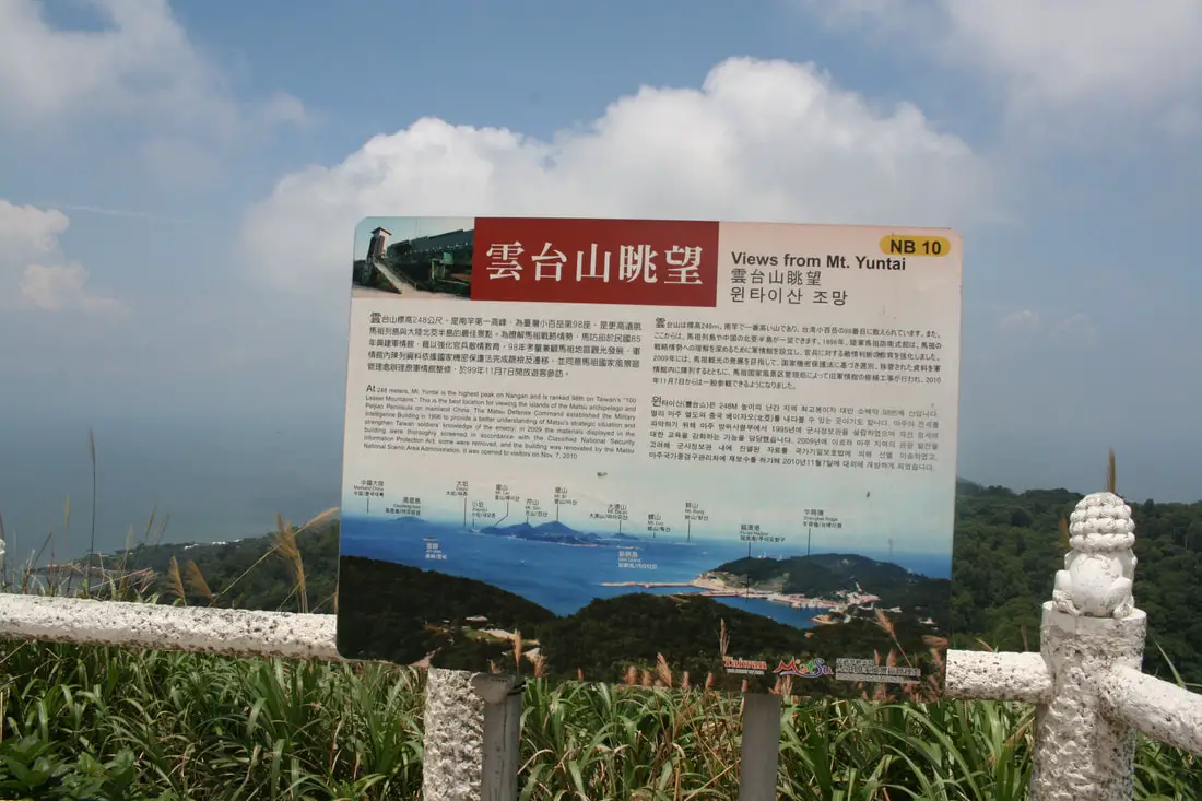
“At 248 meters, Mt. Yuntai is the highest peak on Nangan and is ranked 98th on Taiwan's 100 Lesser Mountains. This is the best location for viewing the islands of the Matsu archipelago and Peijiao Peninsula on mainland China. The Matsu Defense Command established the Military Intelligence Building in 1996 to provide a better understanding of Matsu's strategic situation and strengthen Taiwan soldier's knowledge of the enemy; in 2009 the materials displayed in the building were thoroughly screened in accordance with the Classified National Security Information Protection Act, some were removed, and the building was renovated by the Matsu National Scenic Area Administration."
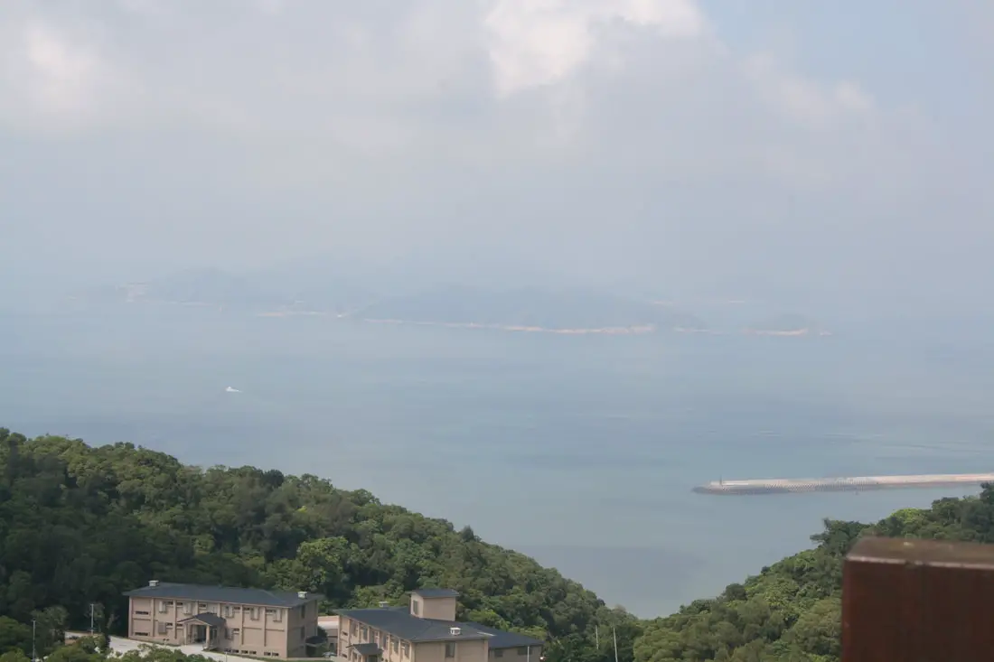
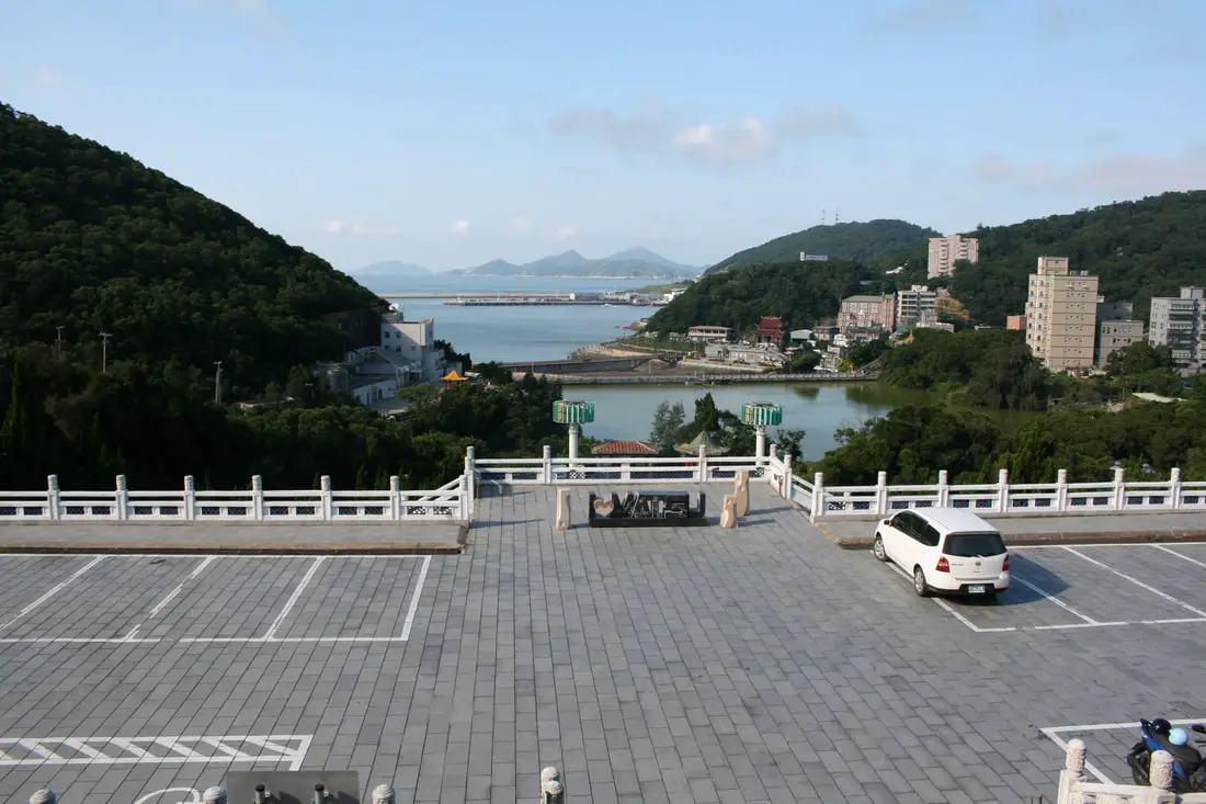
Mt/ Yuntai has the best views in Nangan.
View of the statue of Matsu nearby.
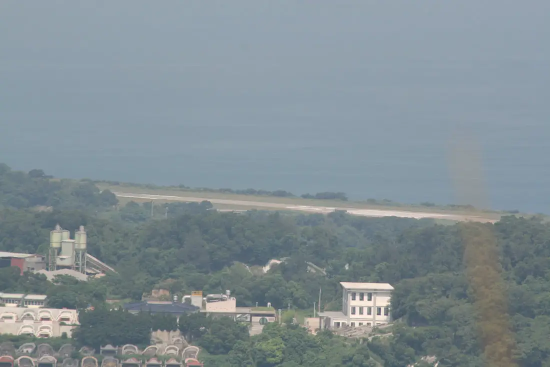
Nangan Airport.
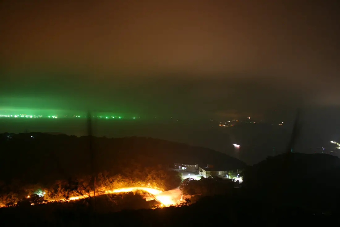
View from the top of Mt. Yuntai at night.
The military exhibition here is only allowed for Taiwanese Nationals, even if you have an ARC. It is just that top secret.
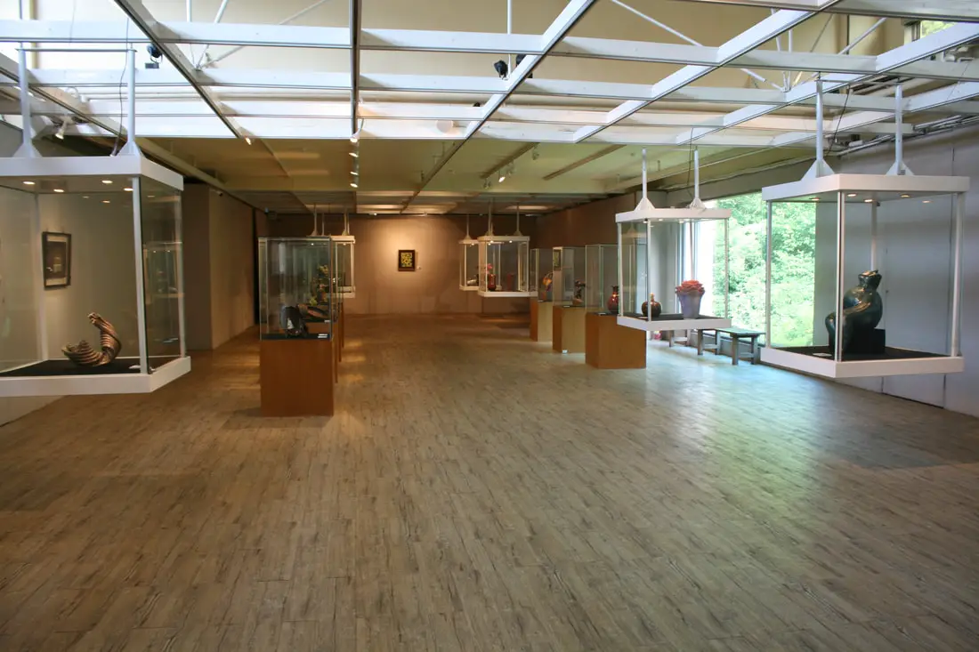
Matsu Folk Culture Museum 馬祖民俗文物舘 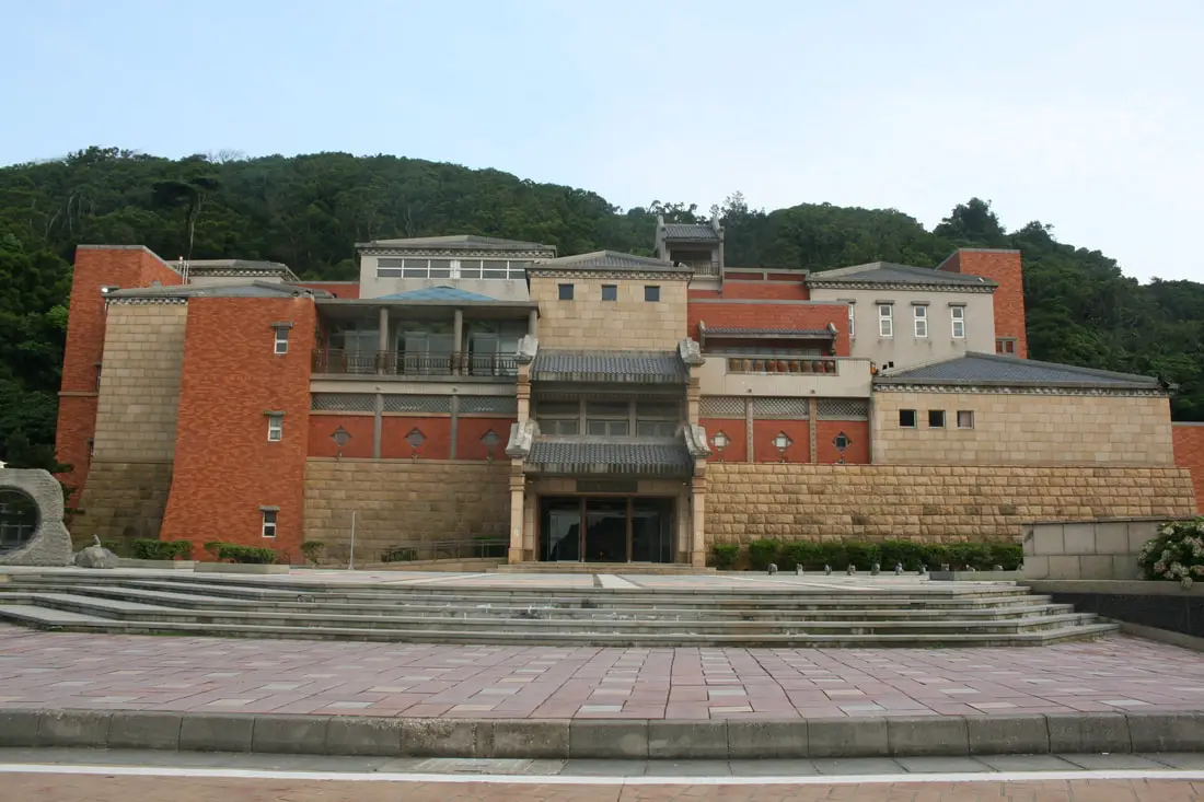
The Matsu Folk Culture Museum in Nangan is definitley worth a visit. The outside of the building is meant to look like a traditional stone village. There is also some interesting stuff on the inside too. The entrance fee is 40 NT per person, and it is open until 5 PM.
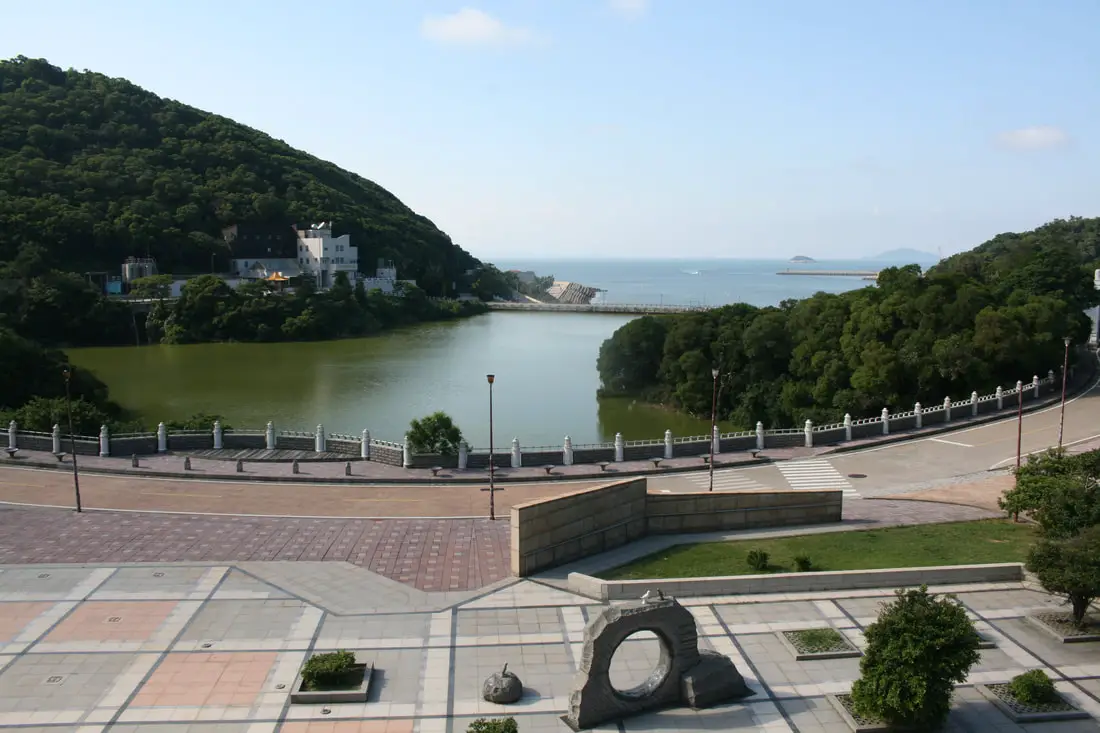
View of the reservoir and scenery in front.
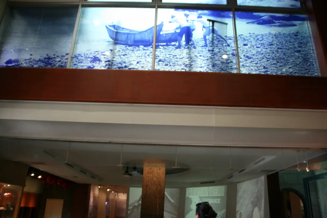
Traditional stone tablet and fisherman.
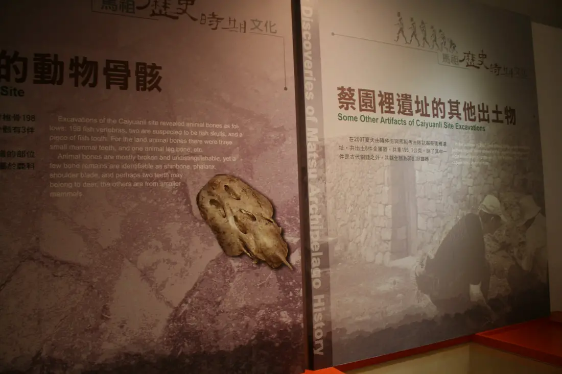
Ancient animal bones were found in Matsu.
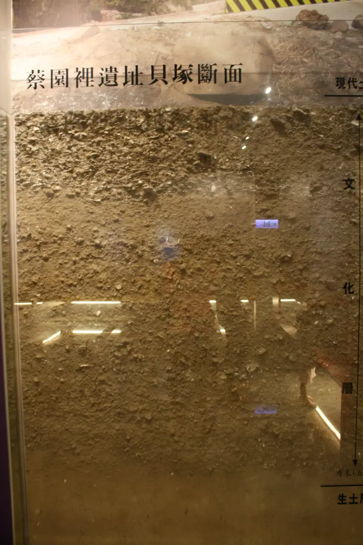
Sea shells buried in the earth, leftover from hunter gatherers in a rubbish mound.
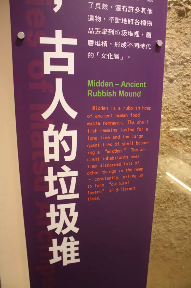
We can learn a lot from other people's garbage.
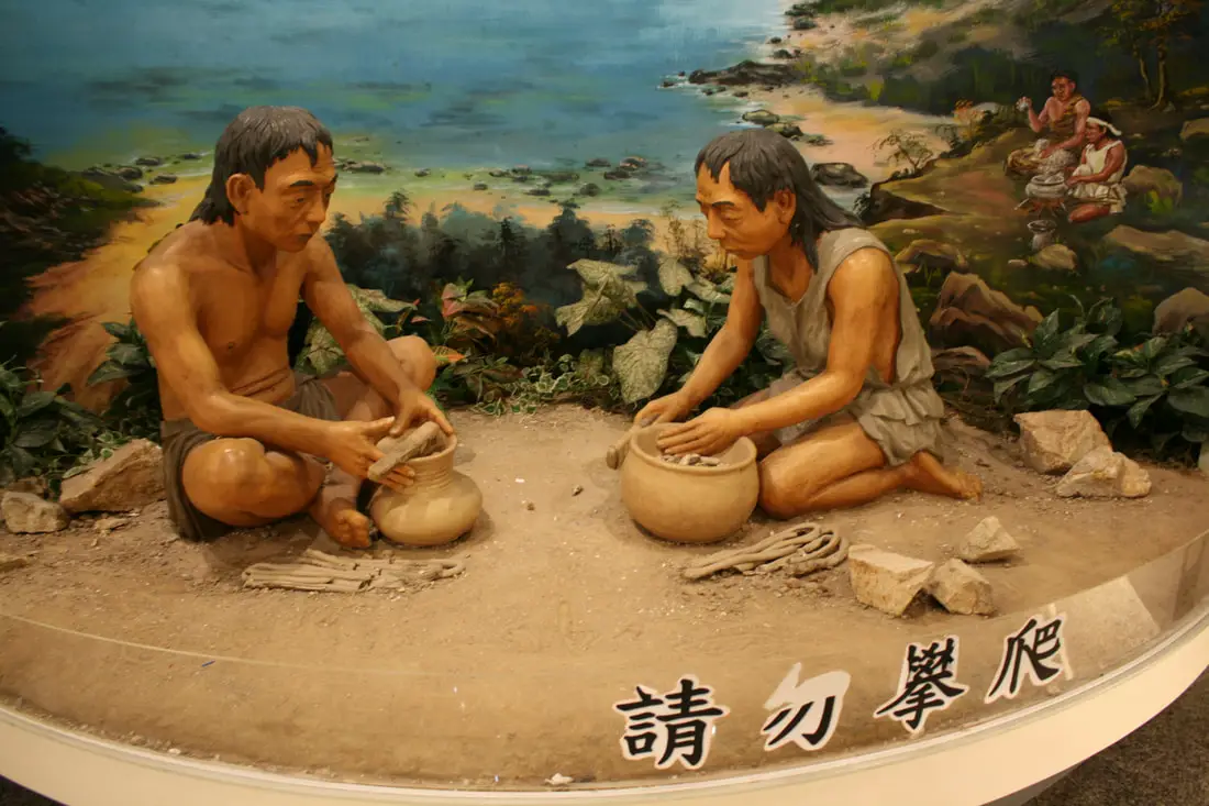
Stone age people living in Matsu.
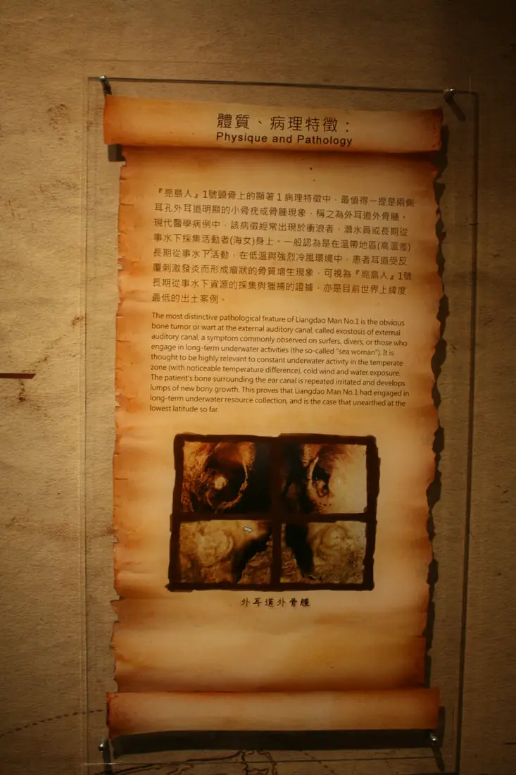
The "Liangdao Man" was a male and female stone aged couple that lived on Liangdao, a now uninhabited island in Matsu. Because of the bone tumor on their ear canal, we know that they were expert divers, and spent a lot of time diving underwater for food.
Map of Dongyin Island.
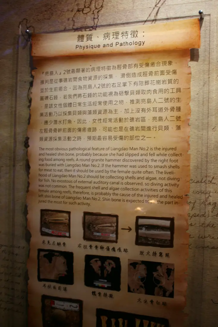
The Liangdao woman had a stone hammer and broke her foot while scavenging for shellfish.
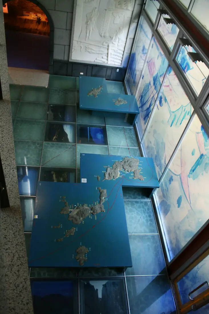
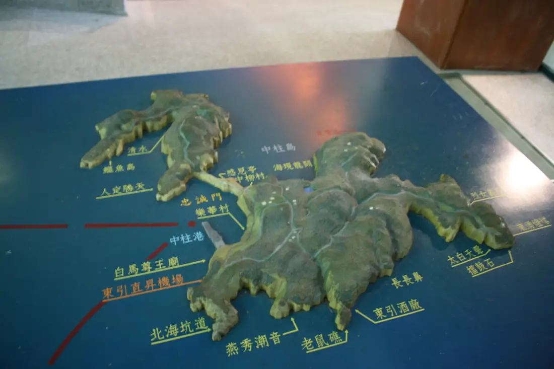
Complete 3D map of Matsu.
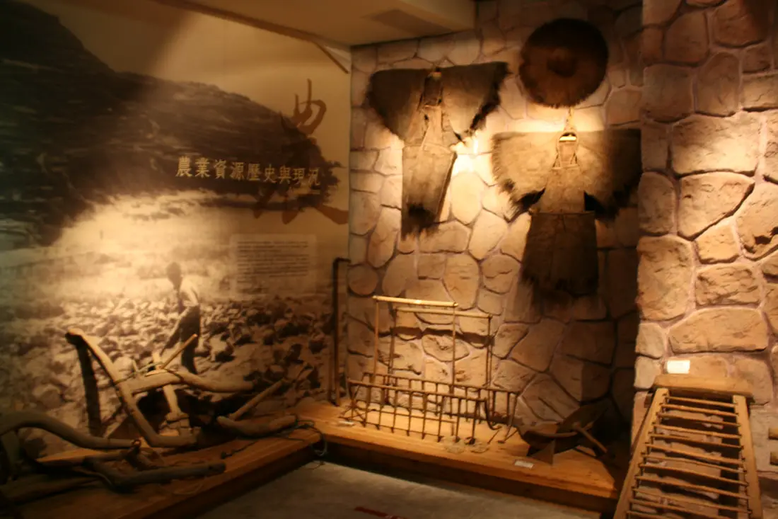
Ancient raingear.
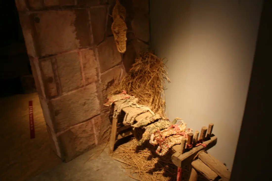
Ancient shoes.
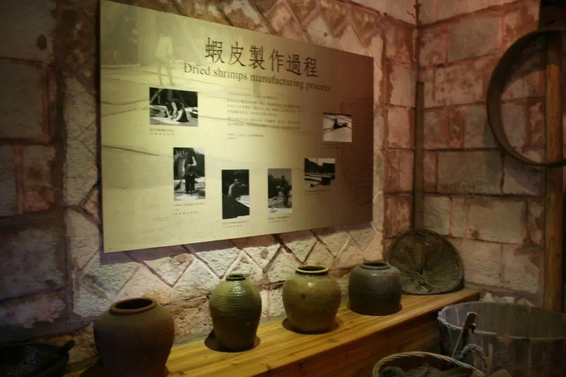
A display explaining the process for drying shrimp.
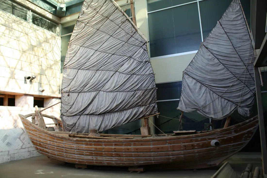
A full sized fishing ship, perhaps the most impressive display in the museum.
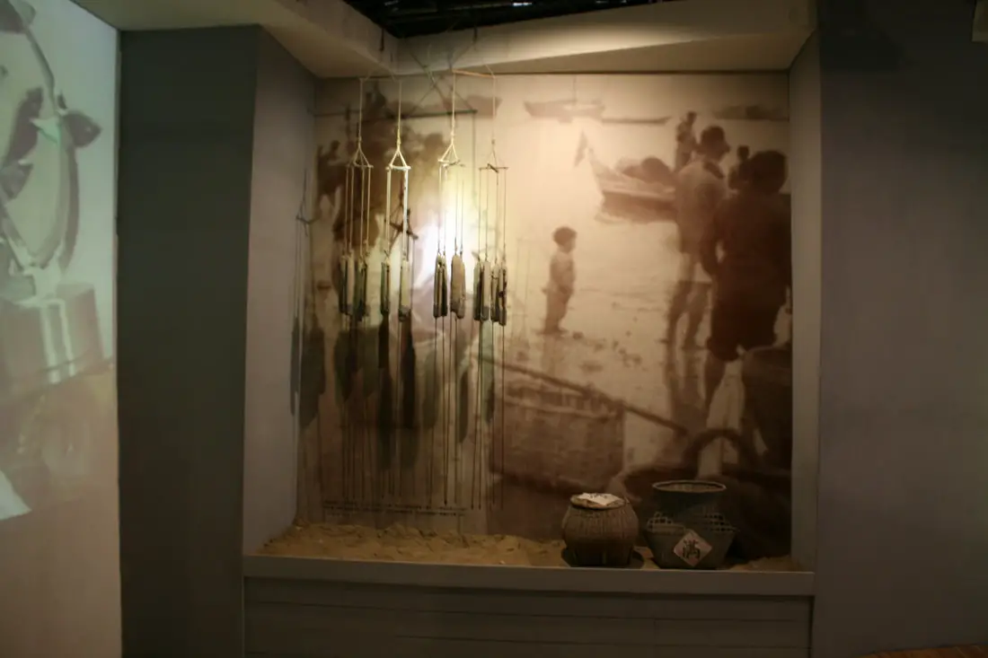
Dried fish display.
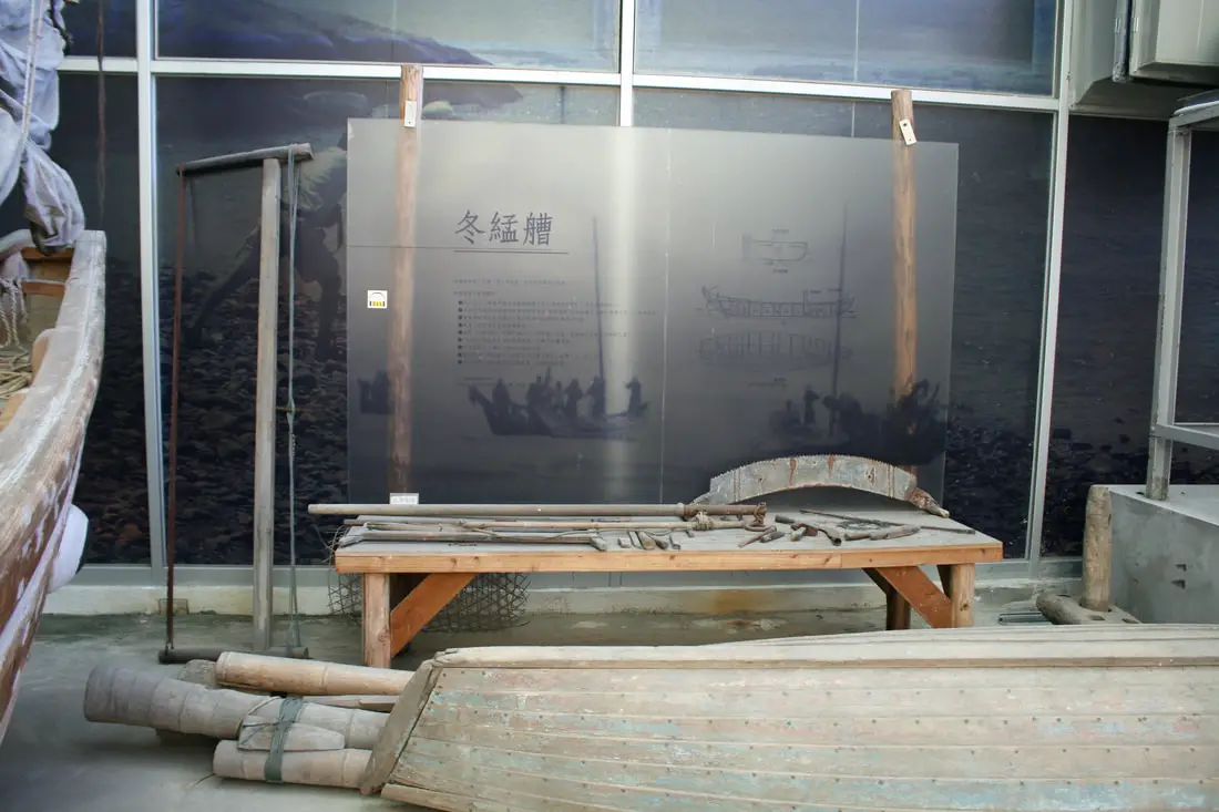
Boat construction display.
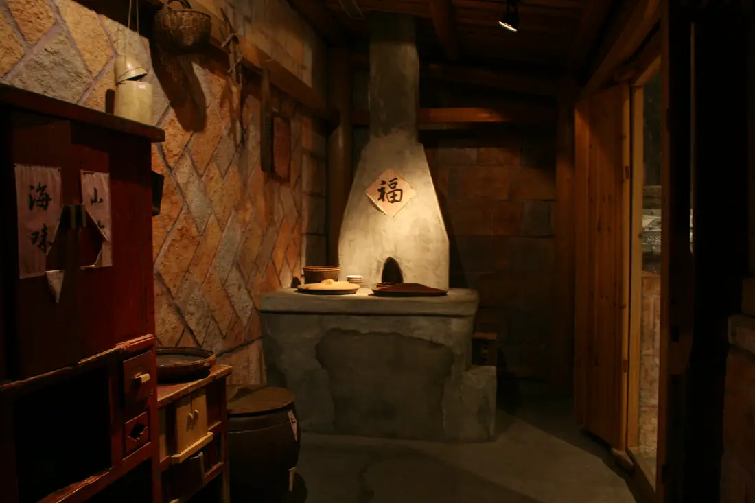
Traditional kitchen.
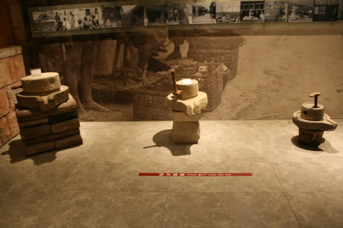
Probably millet grinders?
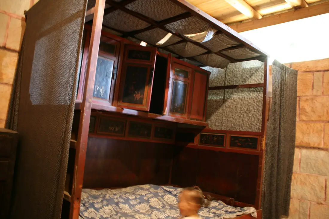
Traditional bed.
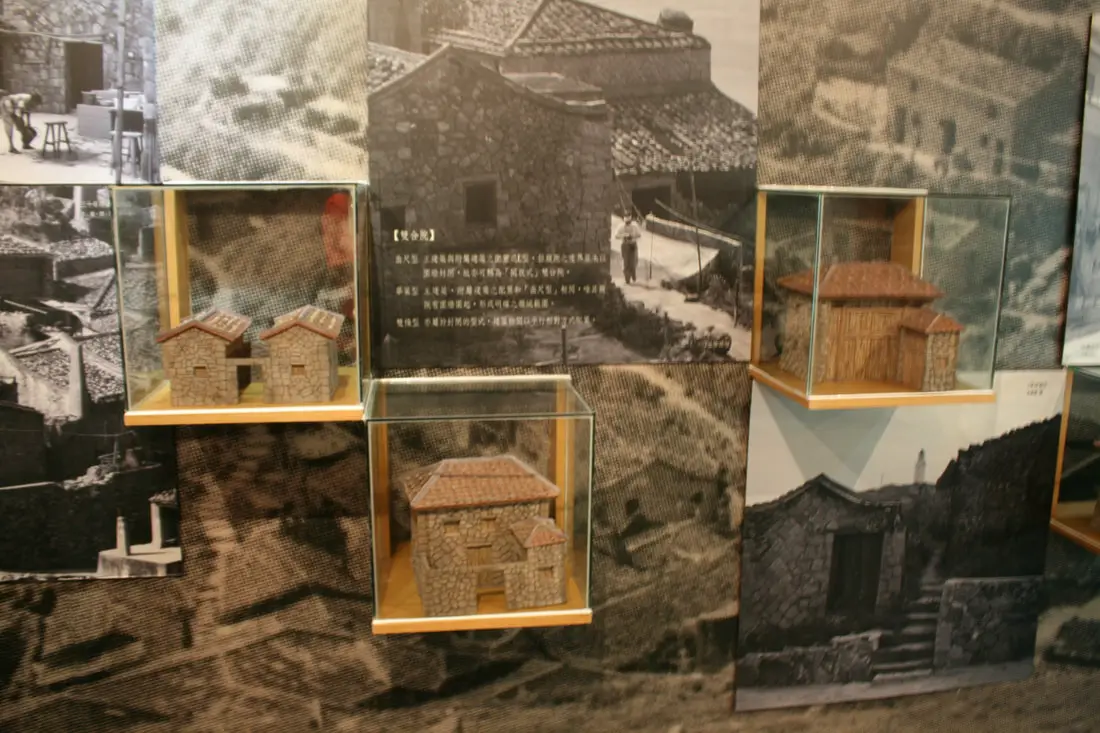
Stone house models.
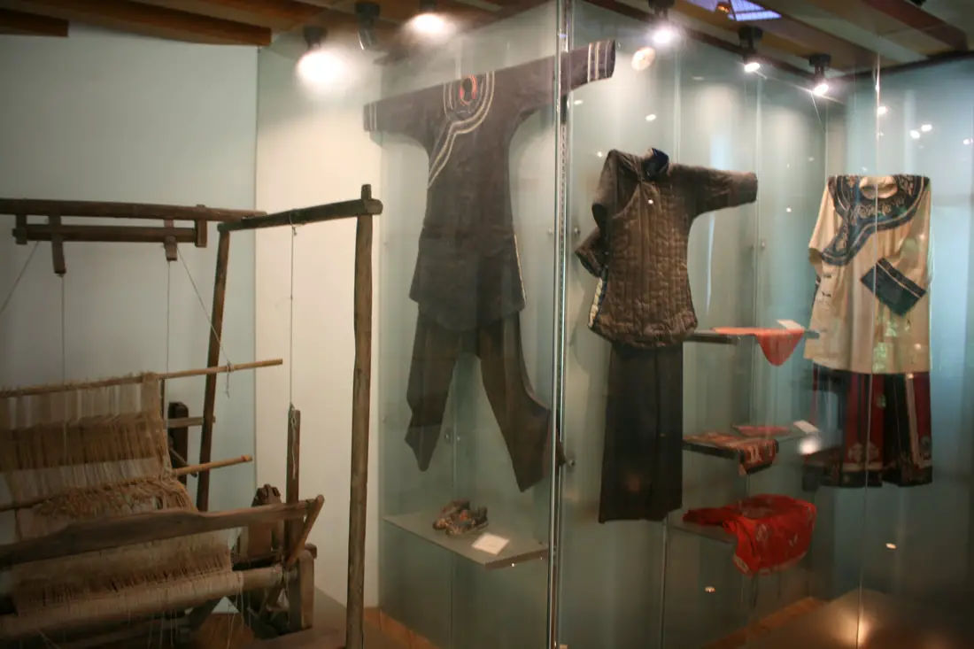
Traditional clothing.
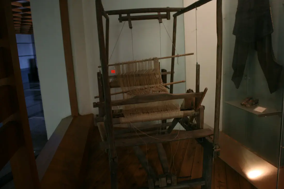
Weaving machine.
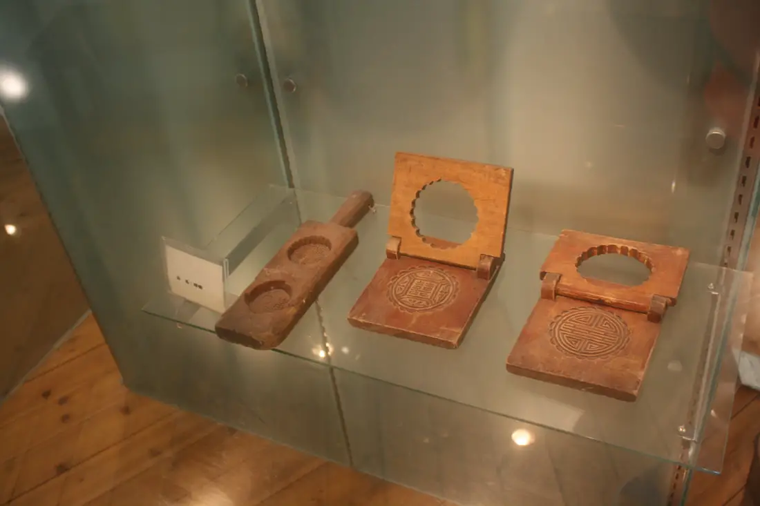
Cake presses.
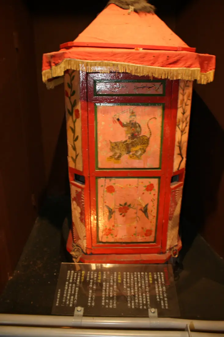
Traditional marriage carriage.
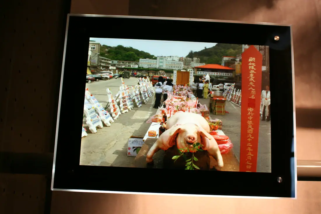
Traditional feast in Matsu.
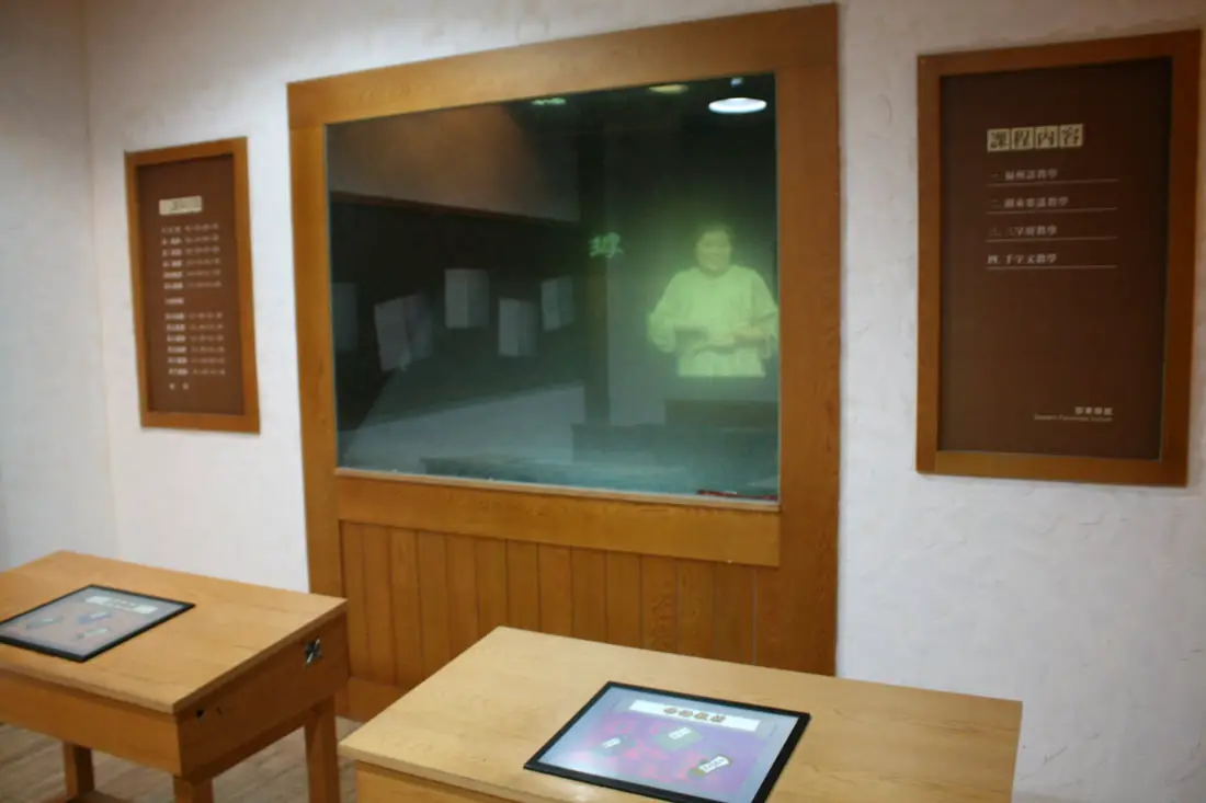
A holographic teacher teaching the Fuzhou dialect of Southern Min.
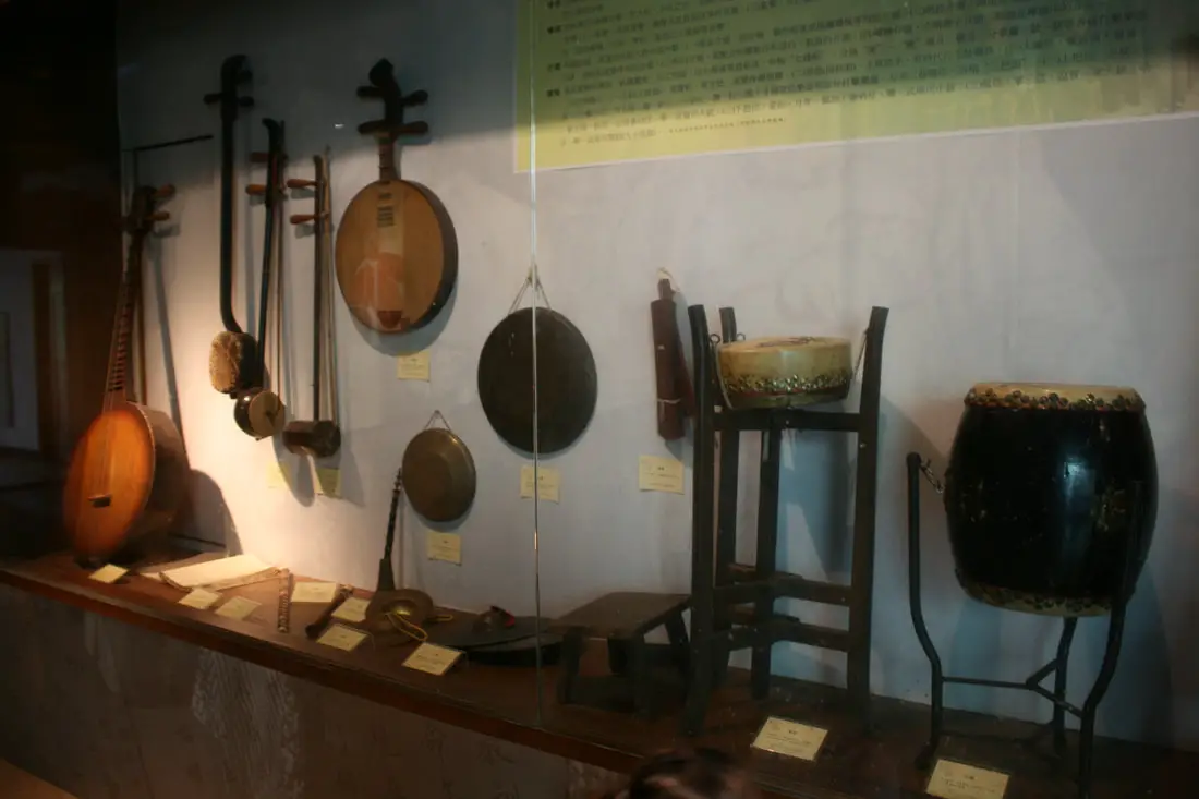
Musical instruments.
Art display on the top floor.
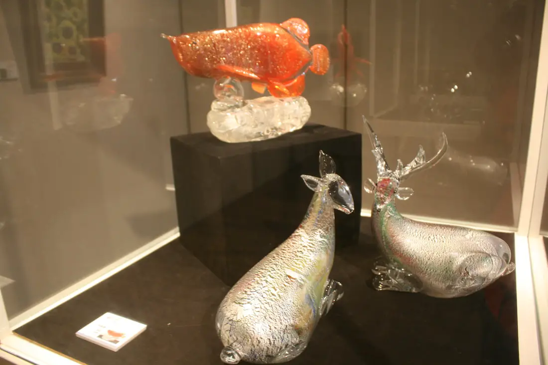
Glass deer and fish.
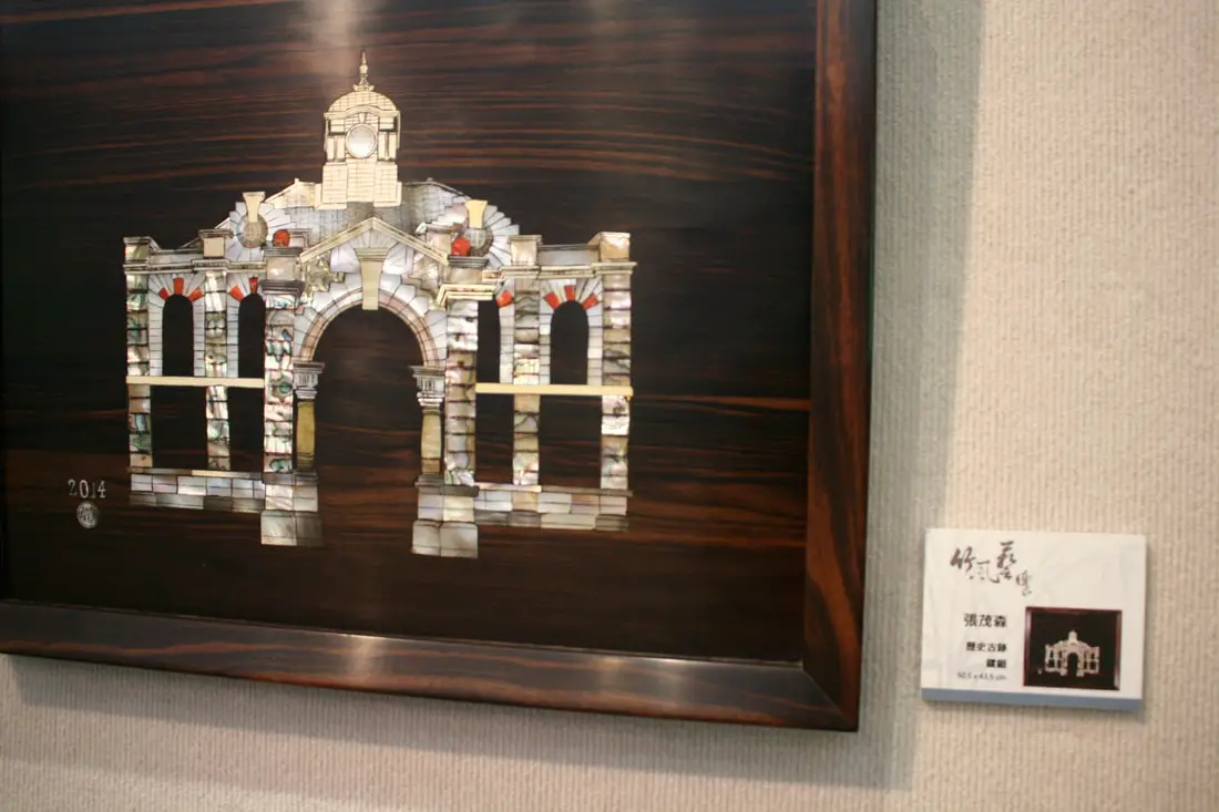
Mother of pearl art structure.
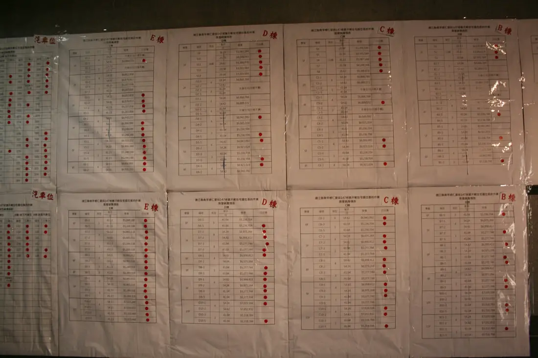
Apartments for sales in Nangan.
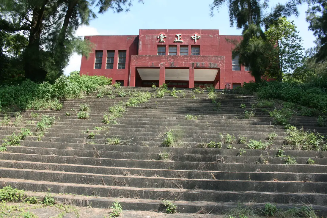
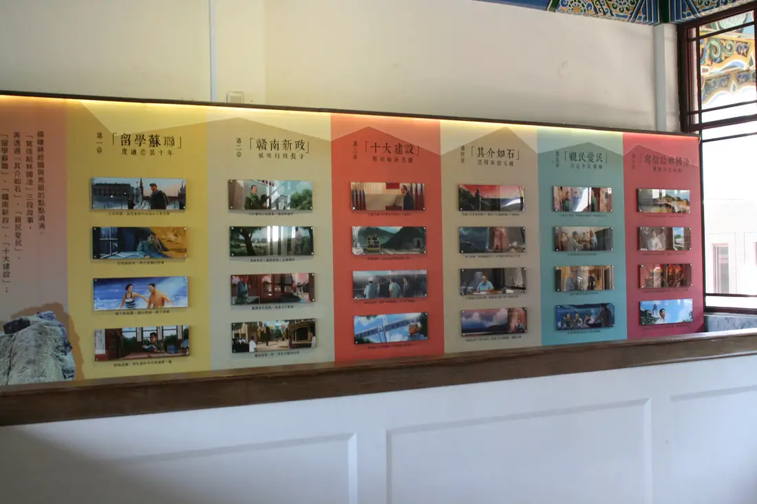
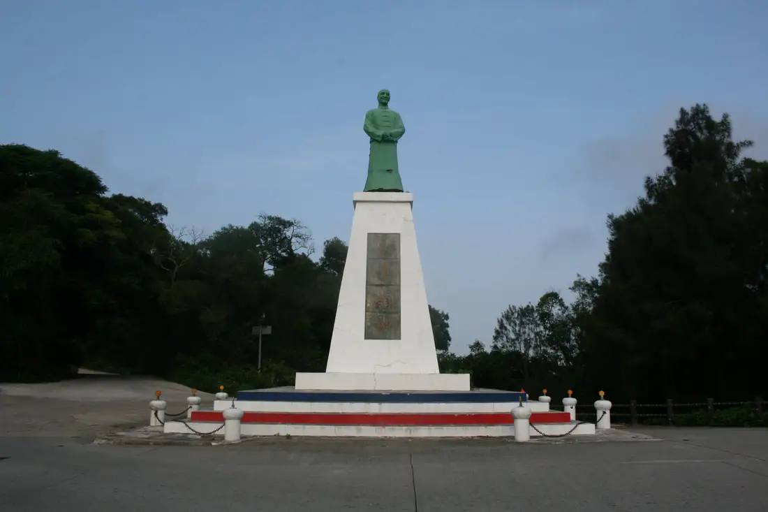
Chiang Chin-kuo Memorial Hall 經國先生紀念堂 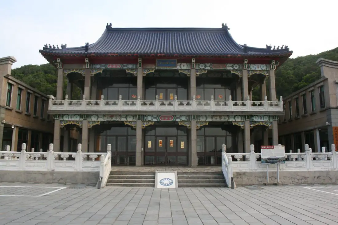
The Chiang Ching-kuo memorial hall is one of the weirdest sites on the island. We all know that CKS memorial hall in Taipei, but his son's memorial hall in Nangan is much less well known.
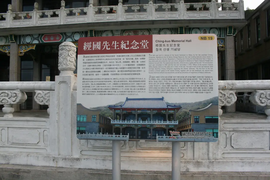
"This hall was built in memory of the favors betowed on Matsu by the late president Chiang Cing-kuo. Standing on the hill above Shengli Reservoir, the main building features colors chosen in reference to the Sun Yat-sen Mausoleum in Nanjing and Chiang Kai-shek Memorial Hall in Taipei. It has white walls and a blue-tile roof, and a form designed in reference to Taipei's National Theater and National Concert Hall. The palace-style two-story structure has a gable and hip roof. The construction work was completed in 1984 and the hall was renovated in 2014. Offices of the county's Cultural Affairs Bureau stand on the side and in back of the hall. The wall in front of the hall features relief carvings depicting Chiang Ching-kuo inspecting the islands' defenses. The first floor of the hall contains a bronze statue of the seated Chiang, together with his last testament; the second floor houses historical artifacts and documents, as well as old photos of inspections of Matsu's defenses."
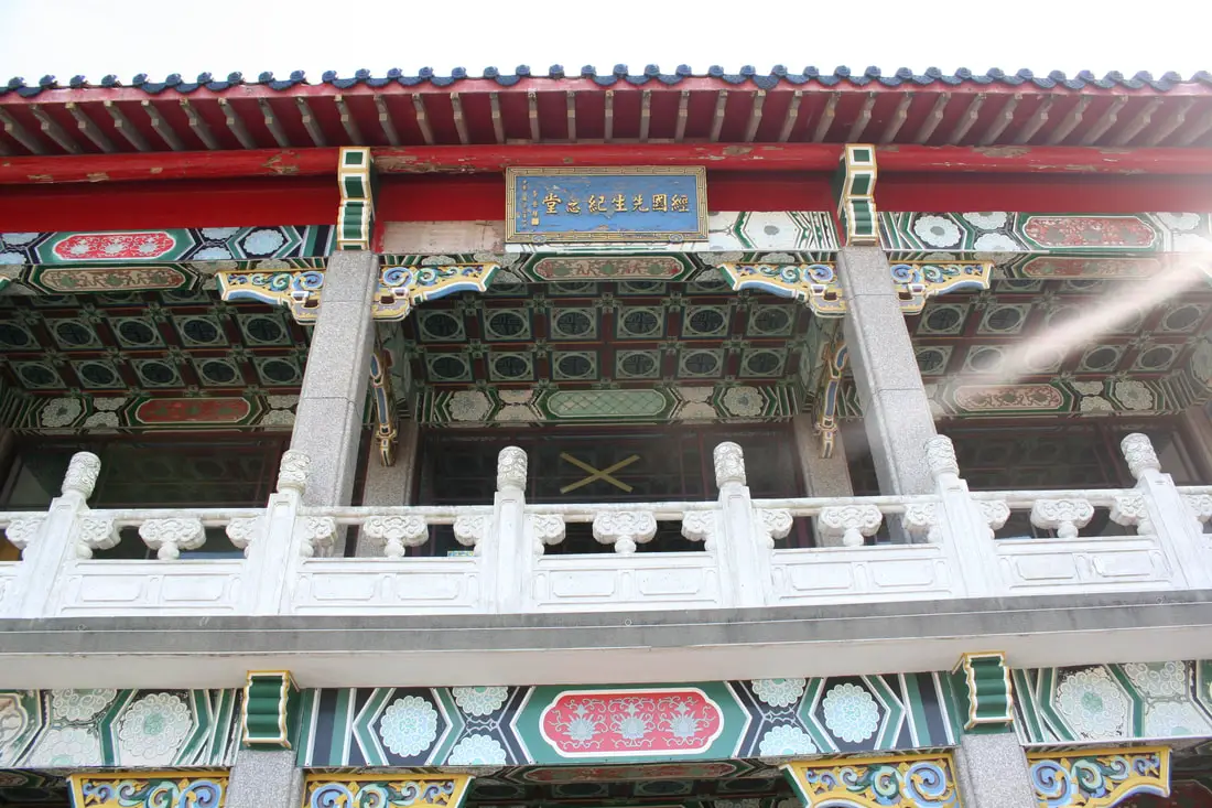
Looking upward at the entrance.
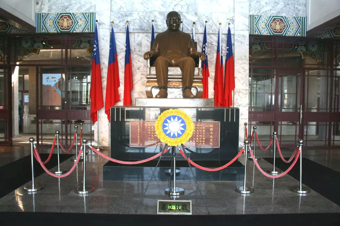
Statue of Chin-kuo. While he was president, he lifted martial law and focused on infrastructure projects in Taiwan. However he was a key figure during the White Terror period when the KMT killed thousands of innocent civilians.
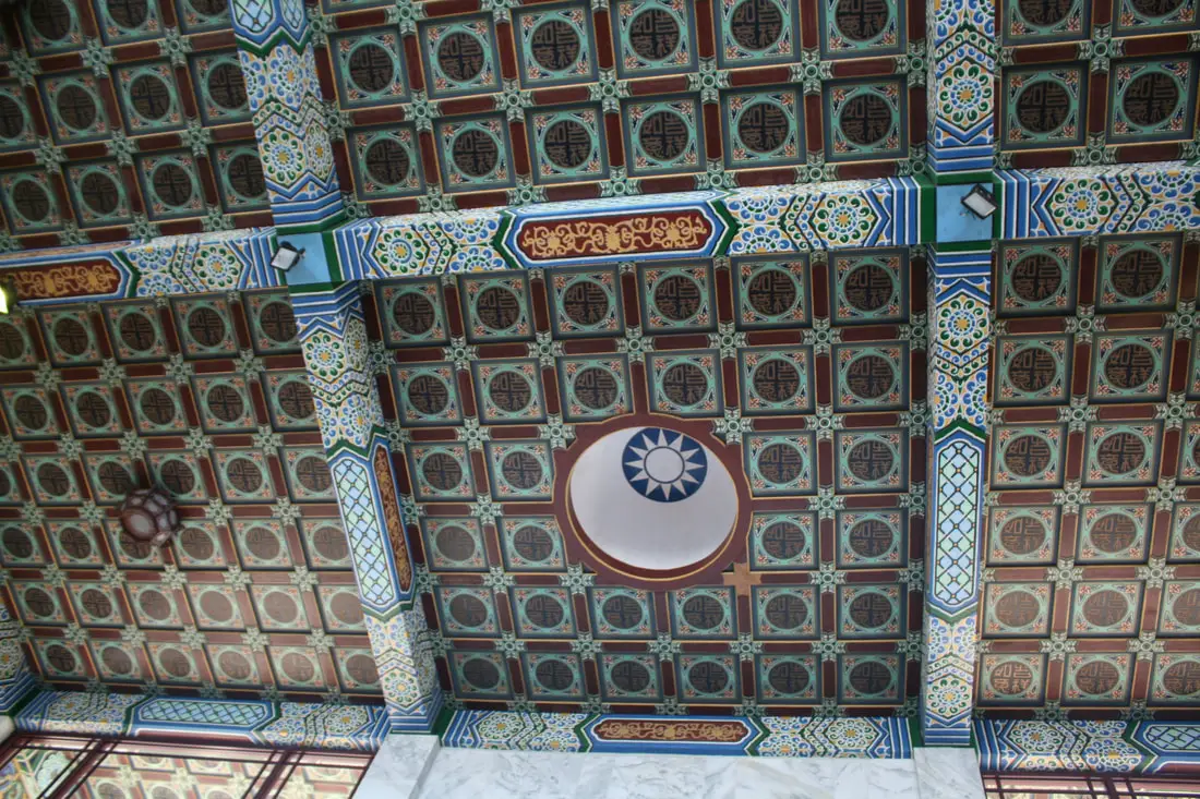
View of the ceiling.
View from the second floor.
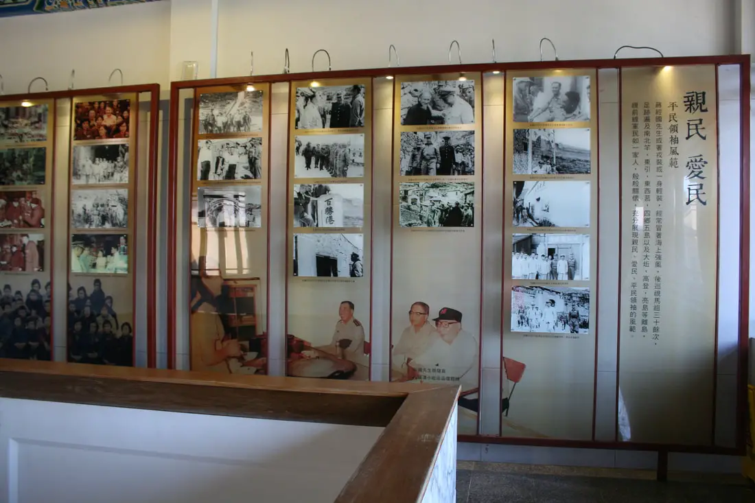
Period photos of Chiang.
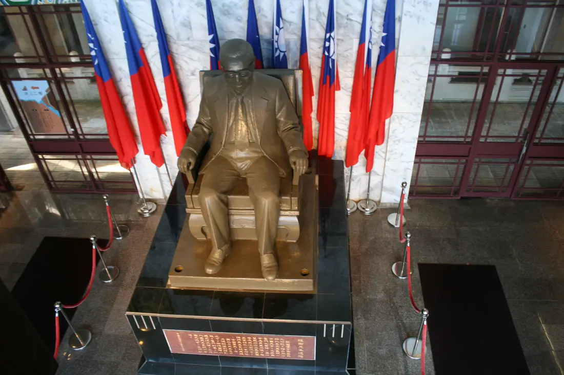
Looking at Chiang from above.
Timeline of Chiang's life.
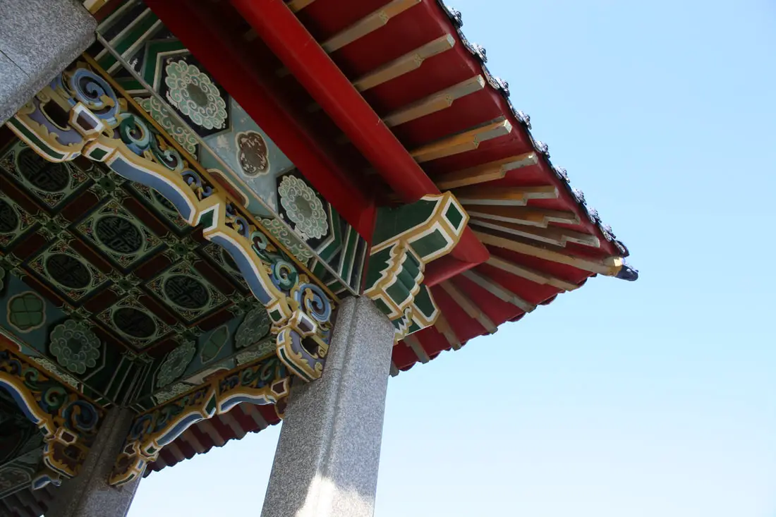
Corner roof of the building.
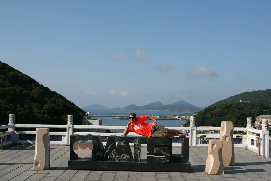
Well, you have stuck it through this extremely long blog all the way till now, so enjoy an easter egg photo of me posing with the matsu sign in from the Chiang's memorial.
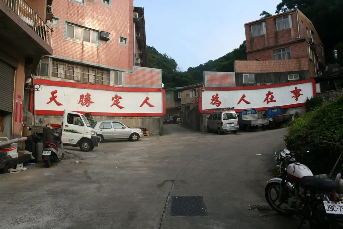
Propaganda in an alleyway in Fuwo Village.
Statue of CKS in a roundabout.
Park below Jinsha Reservoir.
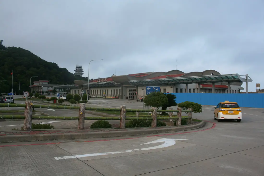
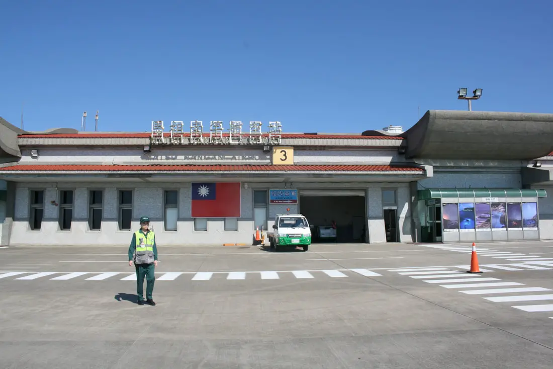
After three days in Nangan, it was finally time to go home. Our hostel owner drove us right to the airport.
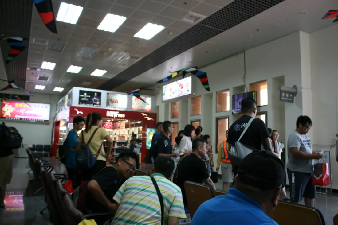
At the airport we bought some Beihai Tunnel cookies which were pretty good. I don't have a photo of those though.
To get on the airplane, you have to walk there.
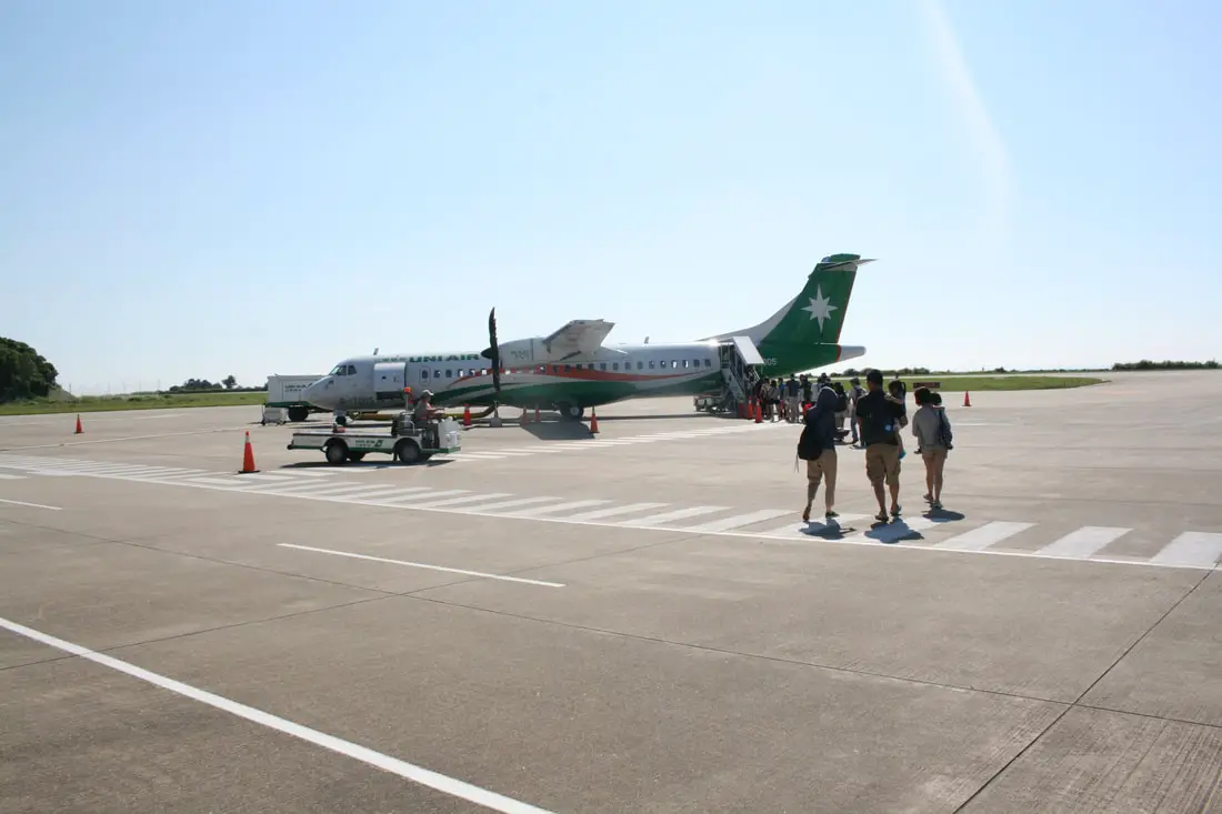
The only planes to Matsu are propeller planes run by Uni Air.
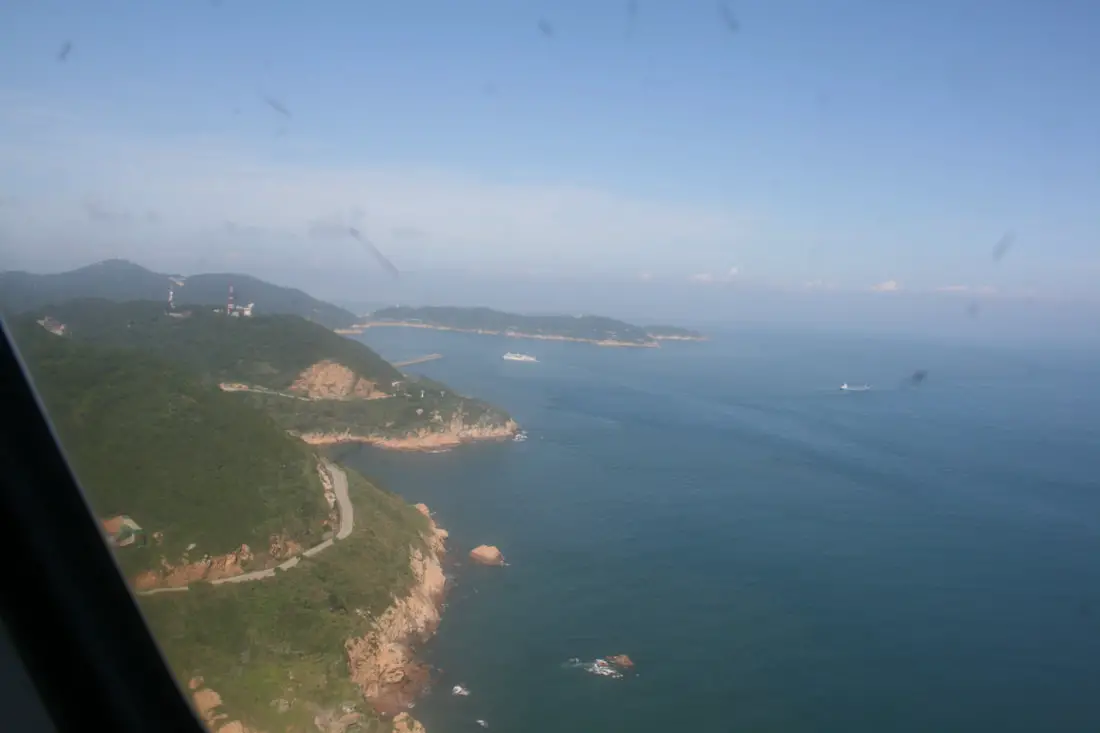
View of Nangan.
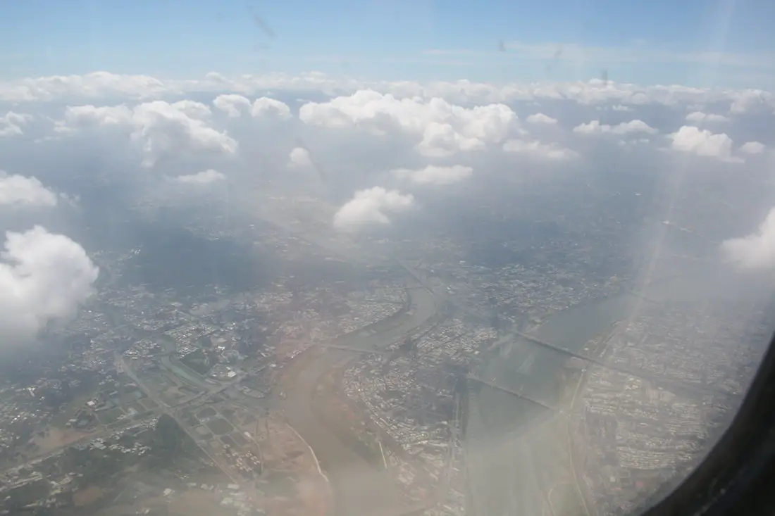
View of the Taipei Basin from above. And that is that.
There are more tours and activities you can experience in Matsu such as the Beihai Tunnel Rocking Boat, Blue Tears Museum, and SUP/Paddle experience. You can search for other tours and activities on KKday here or Klook here. Thanks for reading! For our full guide to the Matsu Islands click here, for our guide to Beigan Island click here, and for our full blog on Daqiu Island Click here. You can also check out our full guide to all of Taiwan's outer islands here. You can also check out our full travel guide to Taiwan here.
0 Comments
Your comment will be posted after it is approved.
Leave a Reply. |
Author 作家I am an American expat who has extensive experience living, working, and traveling in Taiwan. In my day, I had to learn many things about Taiwan the hard way. But I have come to learn that Taiwan is one of the best places in the world for Foreigners to live. This blog does not represent the opinions of every foreigner in Taiwan. I am just trying to help others learn more about this beautiful country. Categories
|
 RSS Feed
