

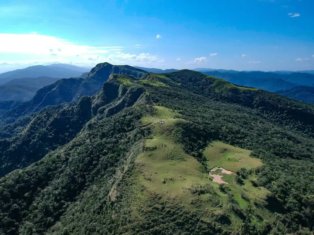
The Caoling Old Trail (aka Caoling Historic Trail) is a section of the Danlan Old Trail connecting Gongliao District of New Taipei to Dali District of Toucheng Township in Yilan. In the past it was an important shipping route for goods from Yilan to Tamsui. Now it is a popular and family friendly hiking route due to its convenient public transportation, slow elevation gain, grassy mountain hills, and great views of the surrounding area.
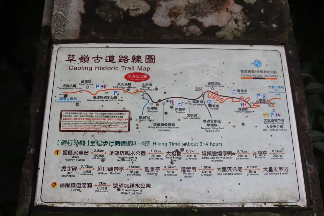
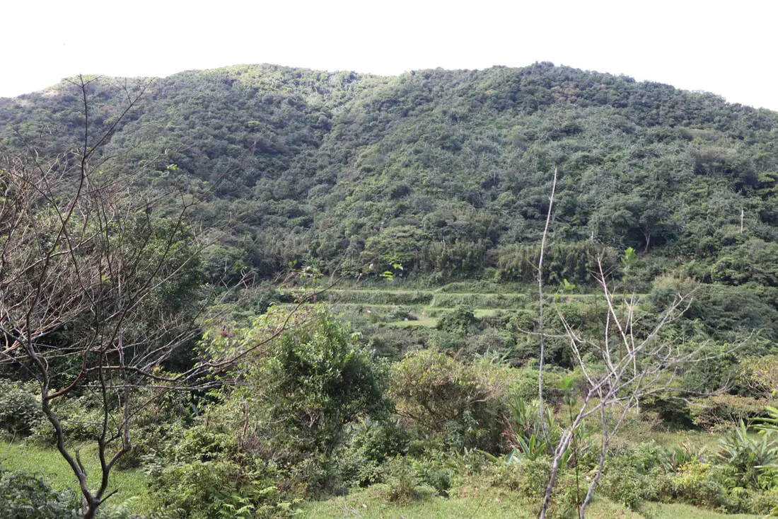
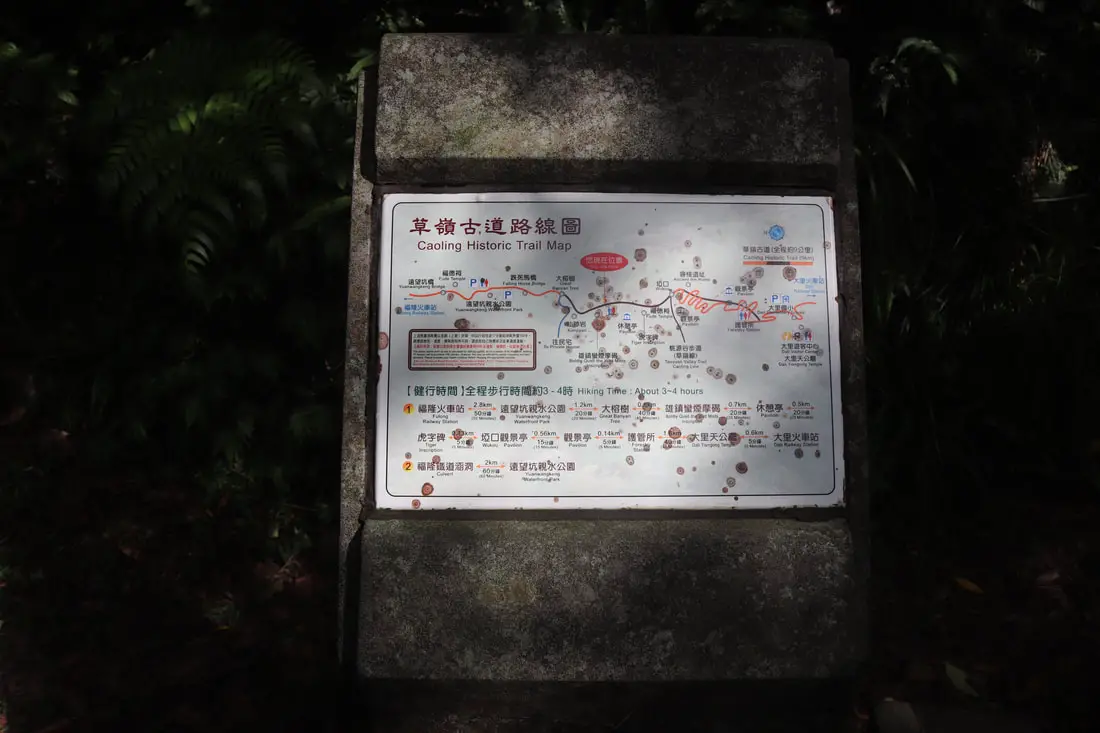
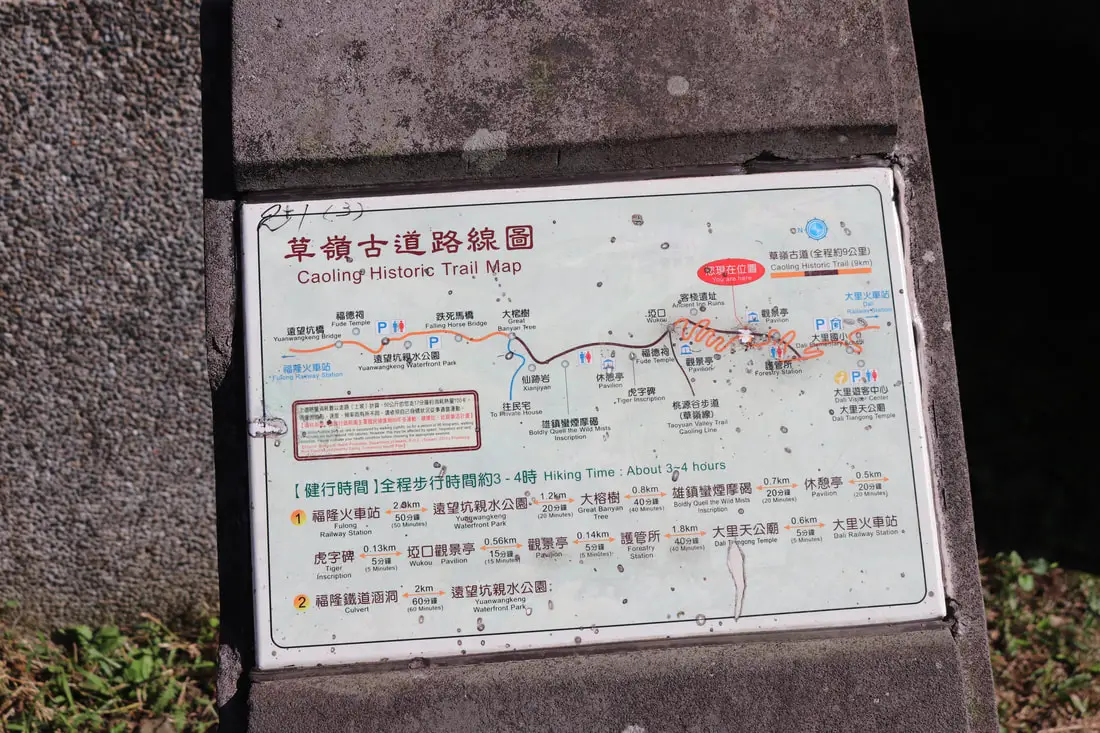
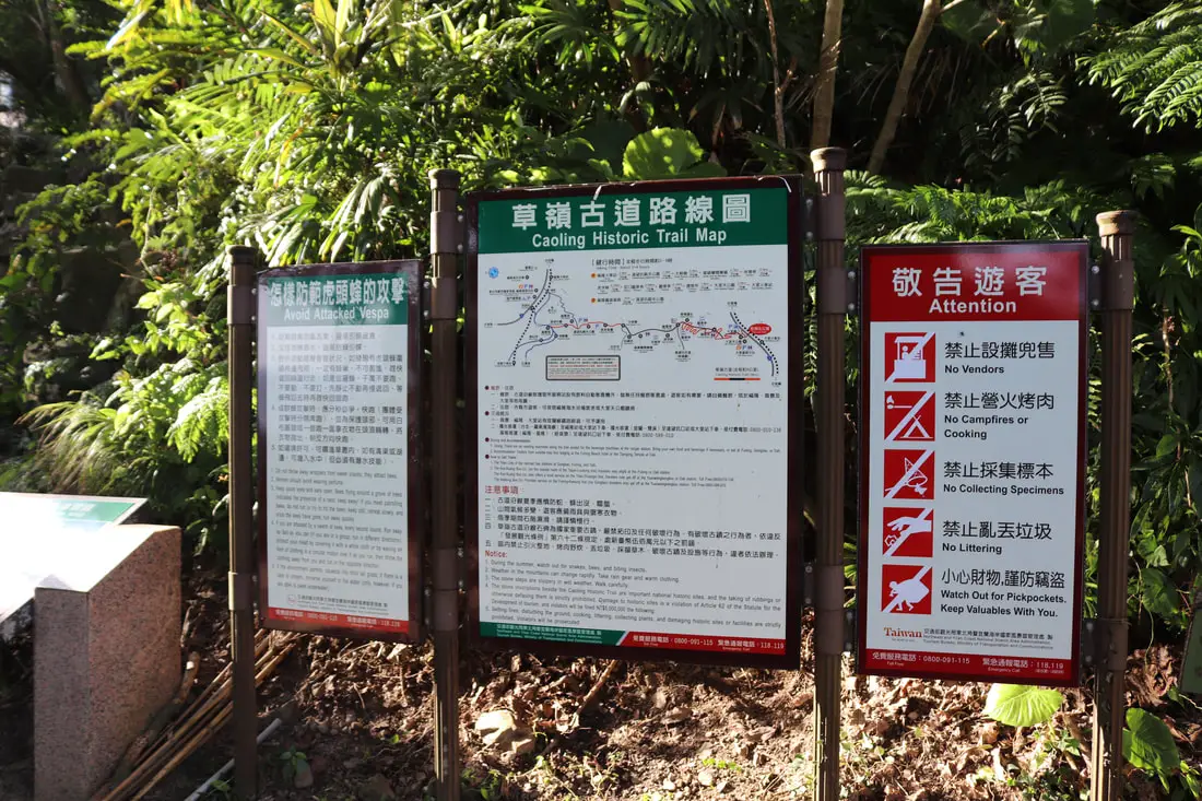
Background: The name Caoling comes from the mang grass (silver Miscanthus flowers 芒草) that grows on the top of the ridge on the east border of Yilan and New Taipei where there are almost no trees. The trail is said to first be made by the Plains Aboriginies to connect their tribes in the mountains of New Taipei. During the Qing Dynasty, the Caoling Old trail was an important part of the Danlan Old Trail (淡蘭古道 which means the road between Tamsui and Yilan), which was split into three paths, and the Caoling Old Trail was on the Northern Path. The Northern Path was the first path created between Yilan and Tamsui, and winded from Mengjia Old Street to Nuannuan, then to Ruifang, and onto Jiufen and Houtong. From Houtong, the road then went to Mudan and then Shuangxi, then went over the Caoling pass to Yilan. During this time, most of the things traded were tea leaves and agricultural goods. Also, it was the main route for Han Chinese immigrants to come to Yilan. In 1867 Liu Mingdeng, the commander general of Taiwan at the time, walked along the Caoling Old Trail and ran into thick fog and evil spirits. Therefore he made two stone tablets: the "tiger" tablet and the Xiongzhenbianyan Tablet to ward off evil sprits and bring good luck. Before the old Caoling Railway tunnel was completed, the last train along the Yilan Railway line stopped at Fulong, and people then walked along the Caoling Old Trail to Yilan. This is part of the reason why the trail is still preserved today. However after the tunnel was completed, people were able to travel to Yilan by train and the trail lost its importance. Later on, provincial highway 2. Now the trail see a fair amount of tourists, especially during mang grass season (from September to November). Hours: 24/7 Price: Free Difficulty: Easy but long. Length: 9.5 KM Elevation Gain: 500 meters Time Needed: Roughly 4-6 hour round trip When to go: If you don't mind the crowds, the best time to go is in Autumn during the Mang Grass season from September to November. Spring will also have nice temperatures but fewer people and no Mang Grass. Other than that, in the summer it can get really hot because there is little shade on the grassy mountain top, and in the winter it can get really cold and windy. Tours and Activities: You can purchase tours and tickets for many activities in Yilan such as Su'ao Crayon Castle, Taipingshan, Turtle Island, Lanyang Museum, Toucheng Leisure Farm, Zhang Mei Ama Capybura Farm, Bambi Land, Yinong Ranch, National Center for Traditional Arts, Taxi Museum, Glamping, Camping, ATV / 4-wheeling experience, SUP / paddle boarding, Ximeng Forest Theater, Surfing, Kayaking, Horse Riding, River Tracing, River Rafting, River Tubing, Pack Rafting, Water Biking, Snorkeling, Canoeing, Shrimping and many others through Klook here or KKday here. Accommodation: Looking for a hotel? We recommend booking through Agoda here, which provides the best quality selection of accommodation on the islands. We have stayed at and recommend Fullon Hotel, which has a location right on the beach in Fulong (you can book on Agoda here, Booking.com here, or Klook here). We have also stayed at Toucheng Leisure Farm, a recreational farm and experience center in Toucheng (you can book on Agoda here, Booking.com here, Hotels.com here, Expedia here, on Klook here, or on Trip.com here). You can also book Wifi and SIM cards for Taiwan on Gigago here. Need travel insurance? Compare prices on Insubuy here. Just to let you know, if you book using the links above, we get some commission at no cost to you, and you can help support our blog. You can click here to receive $5 USD on your first Klook purchase. How to get there: By Train: Take the TRA to Fulong Station (or Dali Station), the old trail starts from each station. You can book tickets to travel to Yilan via inter-city bus on Klook here. You can book tickets to Yialn via high speed rail (HSR) on Klook here or KKDay here. Book tickets via the normal train (TRA) on Klook here. Bicycle rental: Cycling is the best way to enjoy Taiwan's landscapes if you have the time and energy. Looking for bicycle rentals in Taiwan? You can search on KKday here and search for tours on Klook here. You can also check out our Taiwan cycling guide here. By Car/Scooter: From Taipei, on provincial highway 5 until you reach Keelung, then take provincial highway 2B to Gongliao. If you want to shorten the hike, you can park at Yuanwangkeng Park (遠望坑親水公園), but you will have to turn around once you reach the top. If you start from either of the train stations, you can walk the full 9.5 KM loop and get back to where you started by train. Looking for scooter rental in Yilan? You can search Klook here or KKday here to look for options. You can also check out our scooter rental guide here. If you are looking for car rentals in Yilan, you can also search Klook here or KKDay here. You can also check out our car rental guide here. Map: Please see below (the trail is the path on the left):
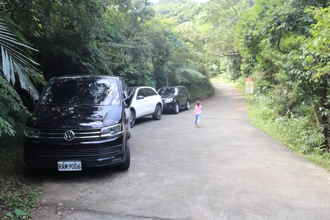
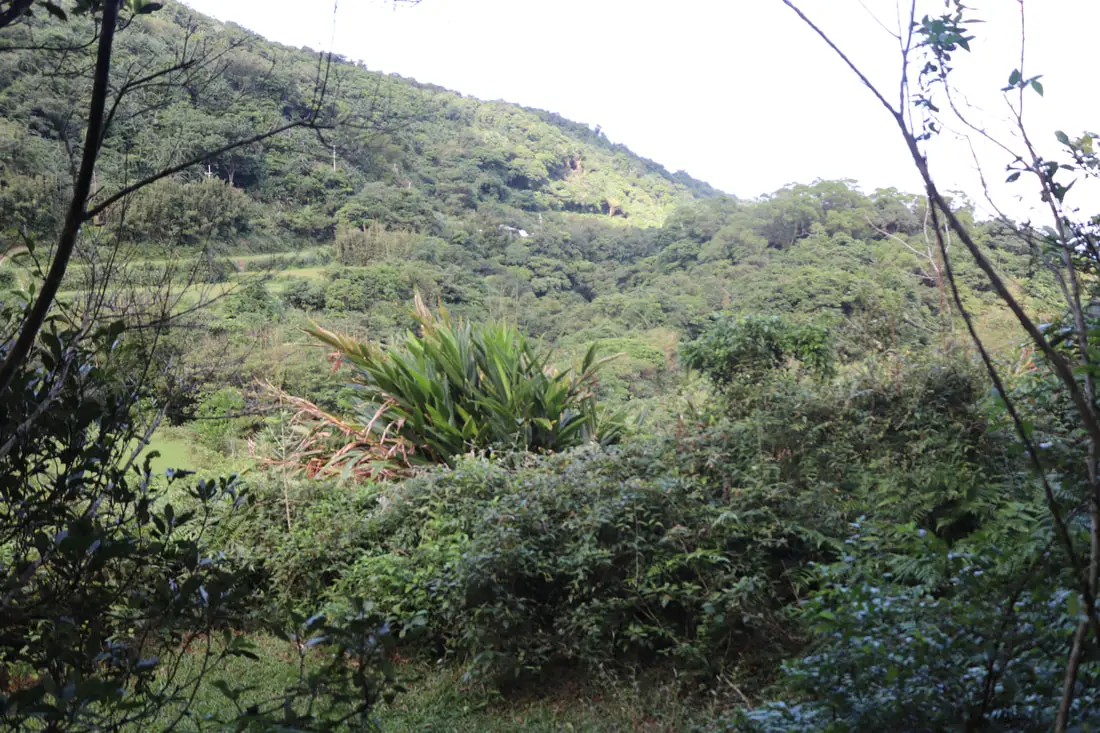
If you are diriving by car or scooter, you can cut about half of the trail off by parking near Yuanwangkeng Park (遠望坑親水公園) shown below.
Our Journey: I have been on the Caoling Old Trail once, and I took a baby and toddler with me. It took us a total of six hours to complete, with my three year old walking the entire 9KM distance. It's not steep, the elevation gain is very gradual, which makes it an easy hike. There are only a few steep steps after Yuanwangkeng Park. Also, there are multiple restrooms along the trail. It's also possible to push a stroller or wheelchair from Dali train station up the mountain, but not recommended.
Check out our drone video above for an overview of the area. Please note that some of this footage was taken before March 31st, 2020.
Or check out the 360 degree spherical panorama above the top of the trail.
Another 360 degree spherical panorama from higher up.
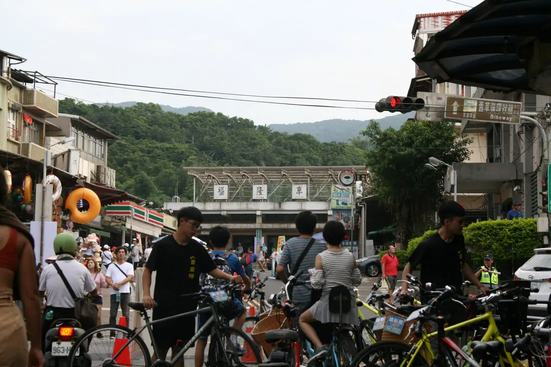
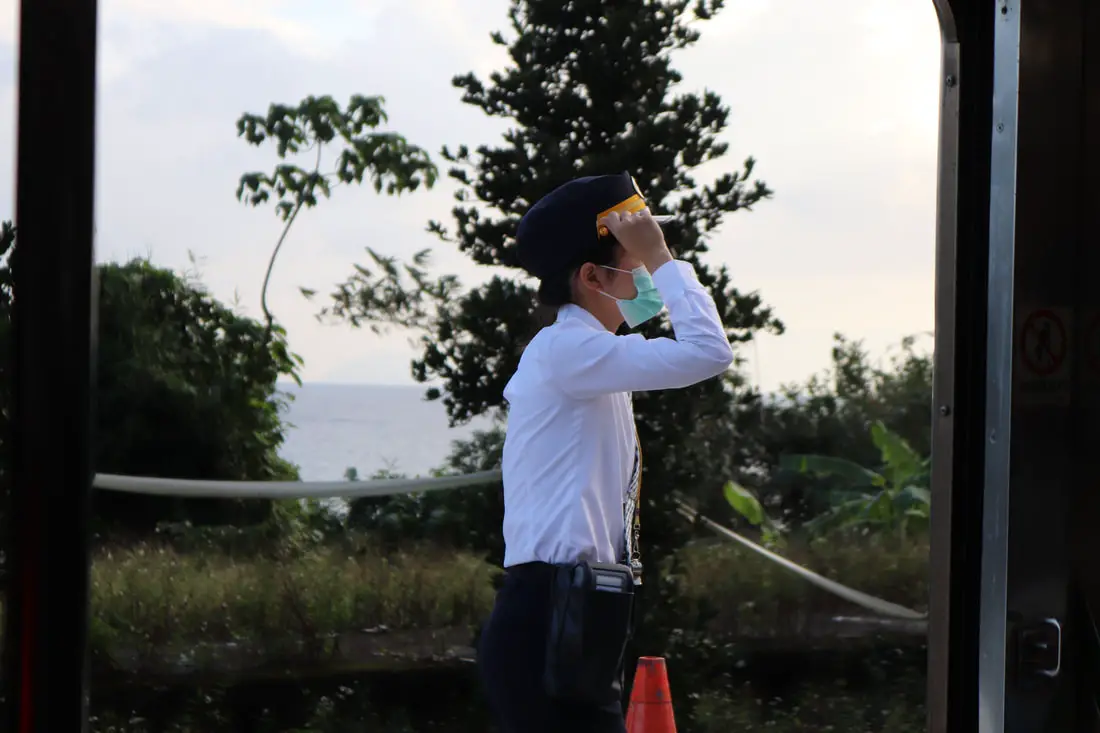
We arrived at Fulong Station by car at about 10 AM and parked near the station.
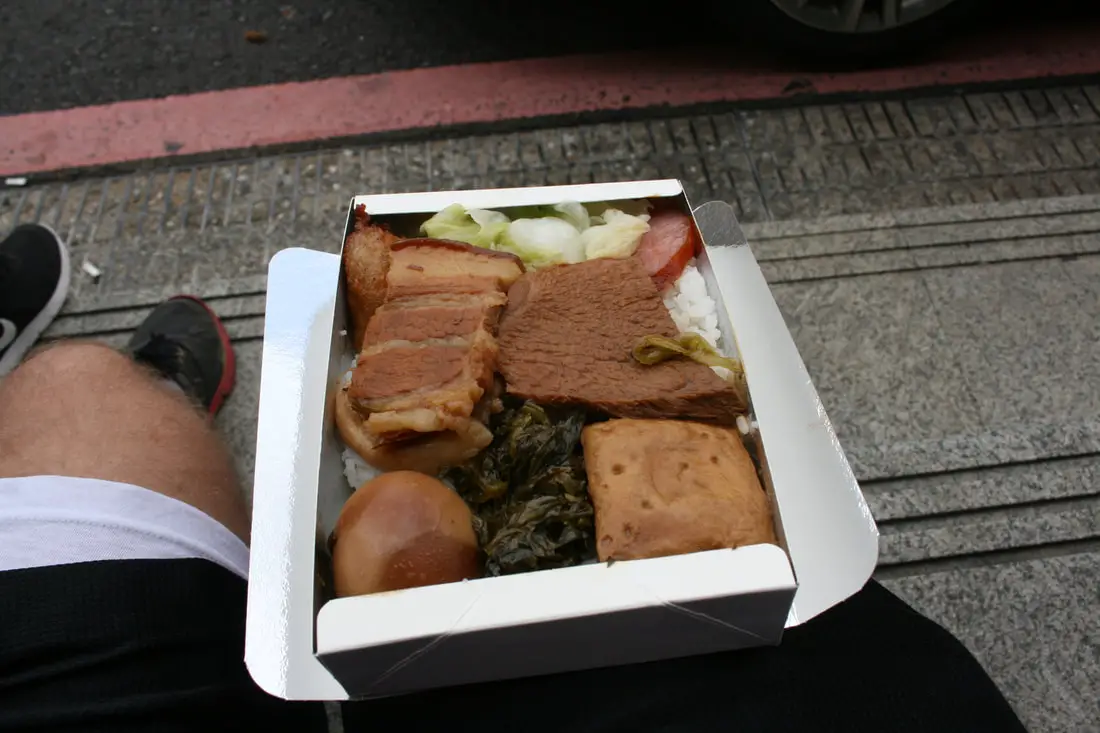
If you want there is a great Bento/Biandang near Fulong for only 60 NT.
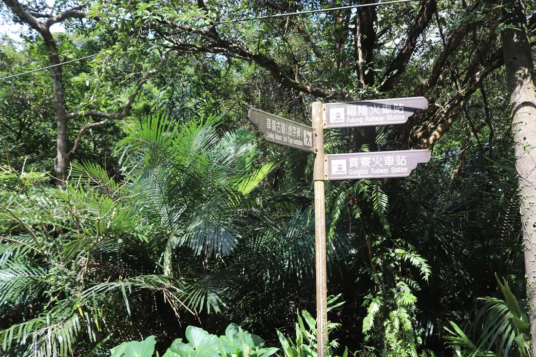
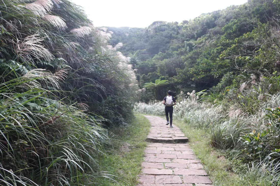
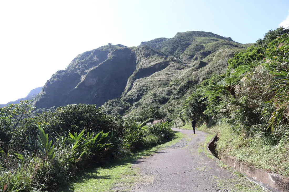
From Fulong Station, you cross under the train tracks to the north and follow the signs along rural roads that say (草嶺古道). Don't get lost! Just follow the signs and Google Maps if you can.
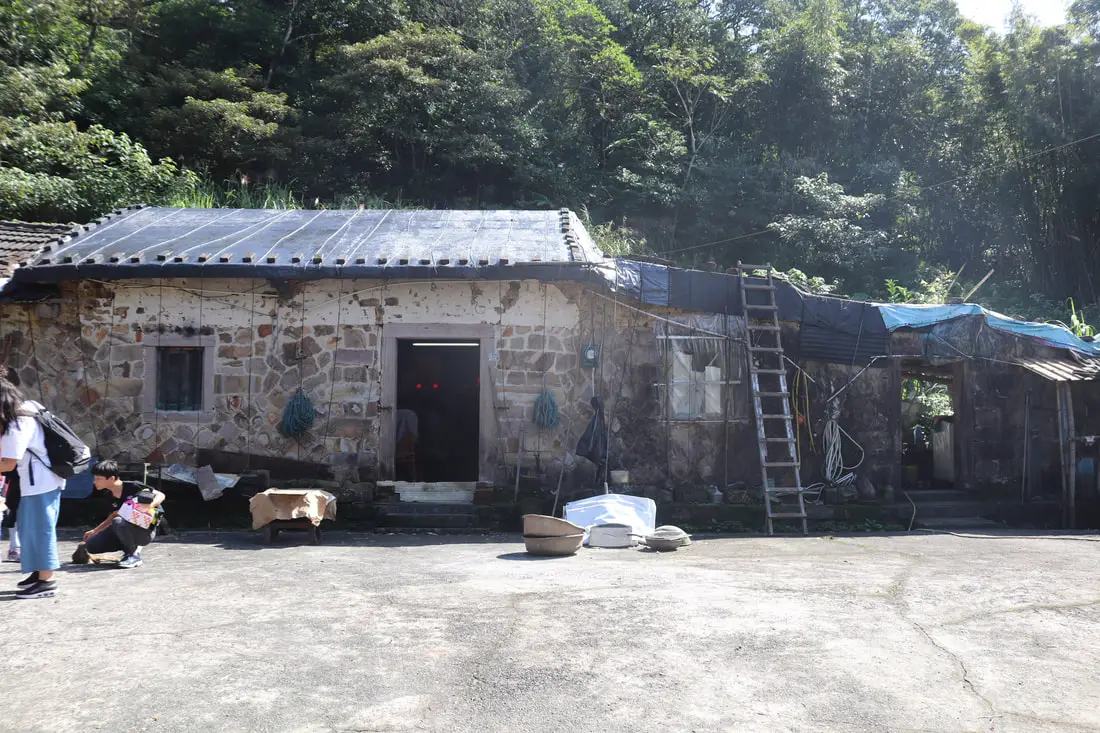
10:40 AM. This house was probably built during the Qing Dynasty when the Caoling Old Trail was the best route to Yilan.
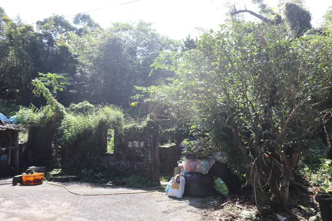
A ruined stone house right next to it.
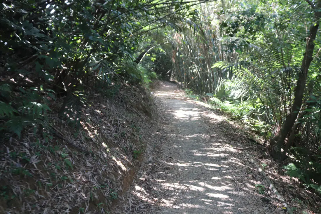
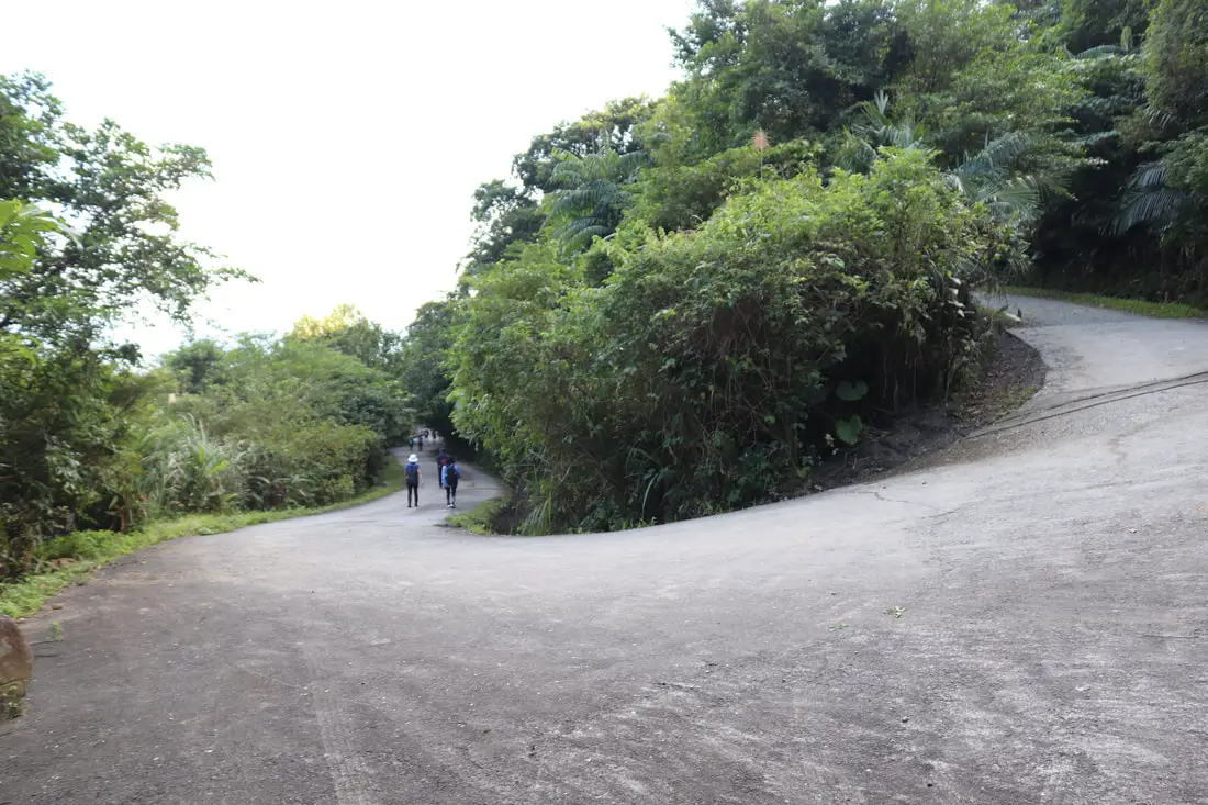
After you pass that house, the trail turns into dirt and passes through farm fields. This is the worst part of the trail, where it gets steep and muddy (sorry no photos). If you are bringing kids, I suggest you skip this part and drive to Yuanwangkeng Park to park your car.
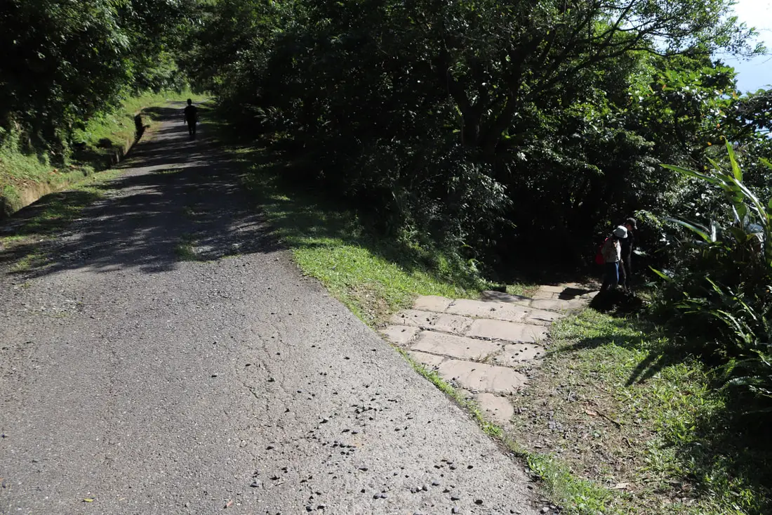
10:55 AM, at about 2.8 KM. After you climb down the muddy hill, you come to another asphalt road that leads to Yuanwangkeng Park. There is a restroom there too.
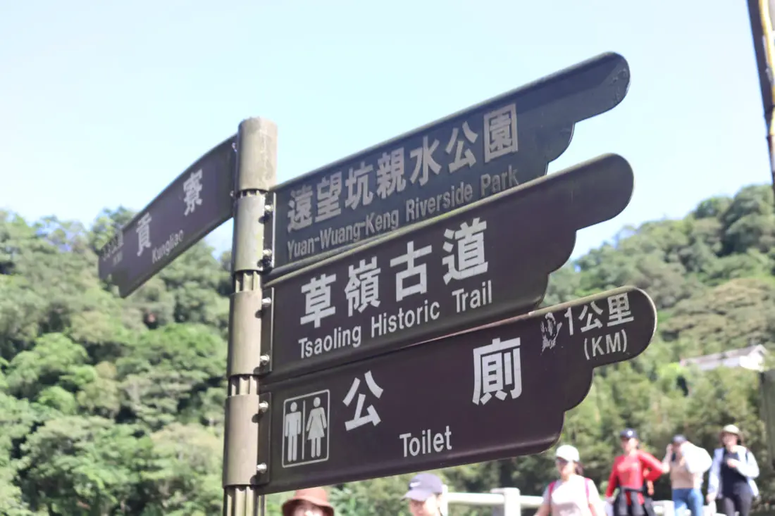
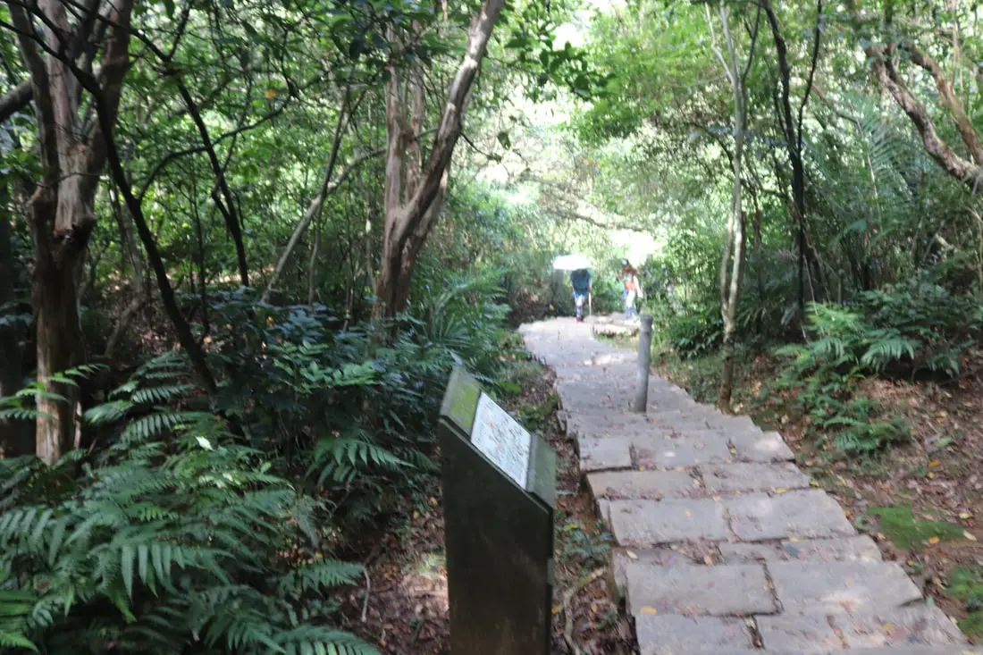
There are signs all along the way to point you in the right direction.
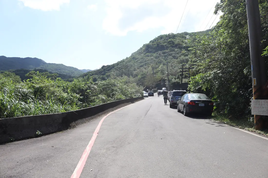
There is parking along the road here and a parking lot near the Yuanwangkeng Park. On weekends during Mang Grass season there may not be any parking!
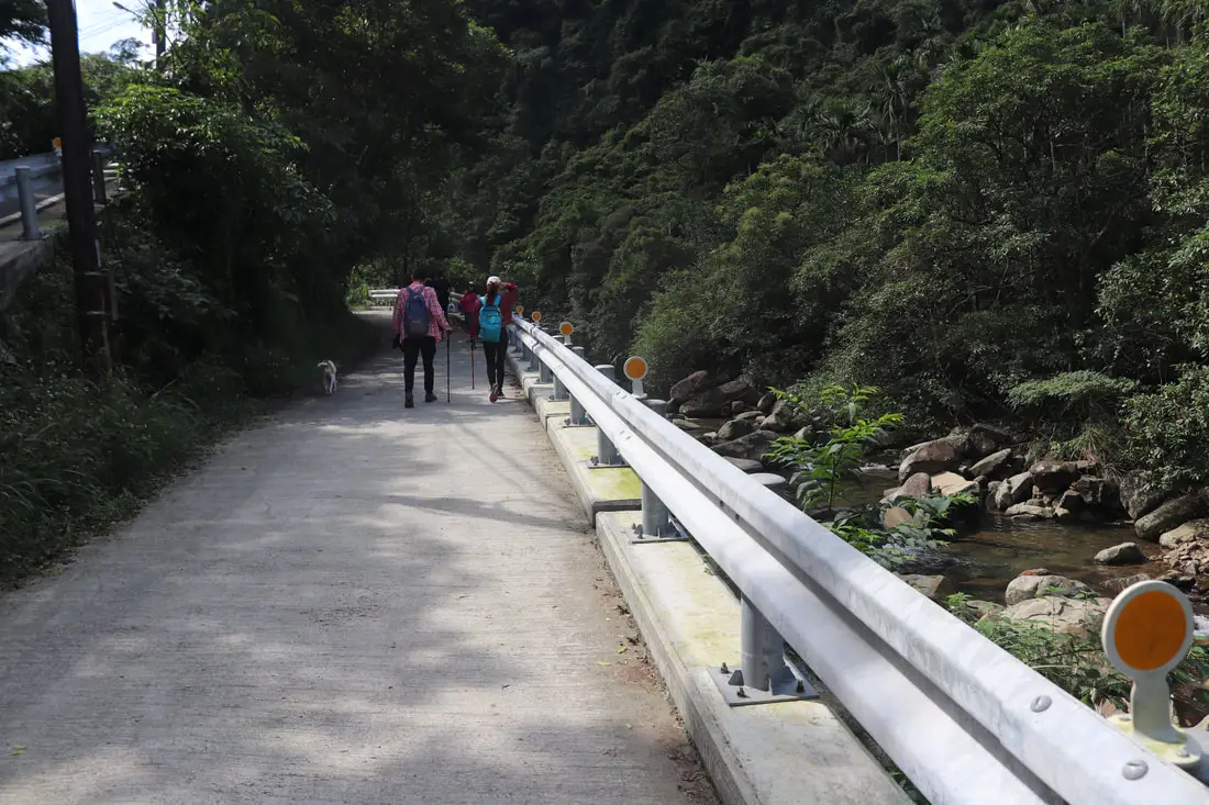
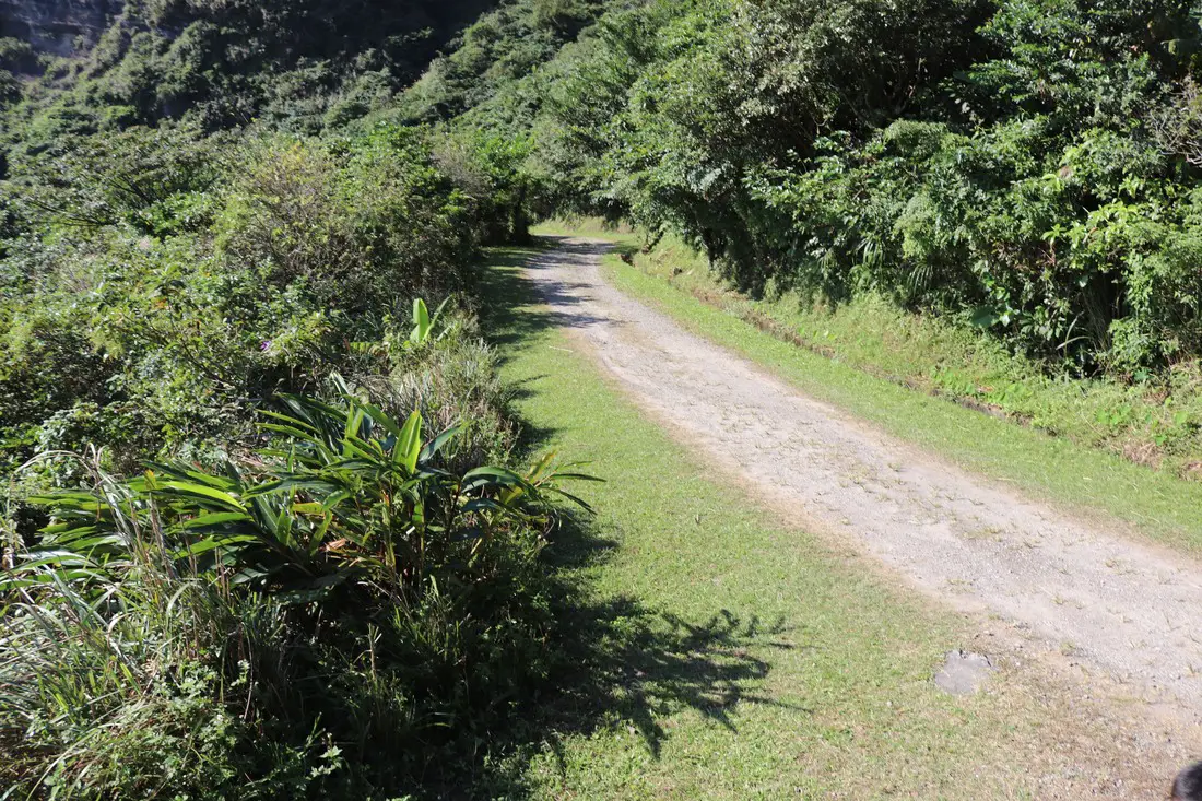
11:22 AM. After a bathroom break we made it past the park onto this concrete road.
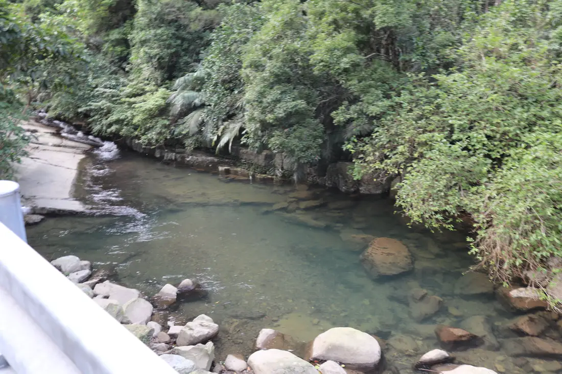
This river looks really nice for a swim on a hot summer day.
11:26 AM, about 3.5 KM in. We made it to this spot past the parking lot.
Still some people parked even closer to the trail on this rural road.
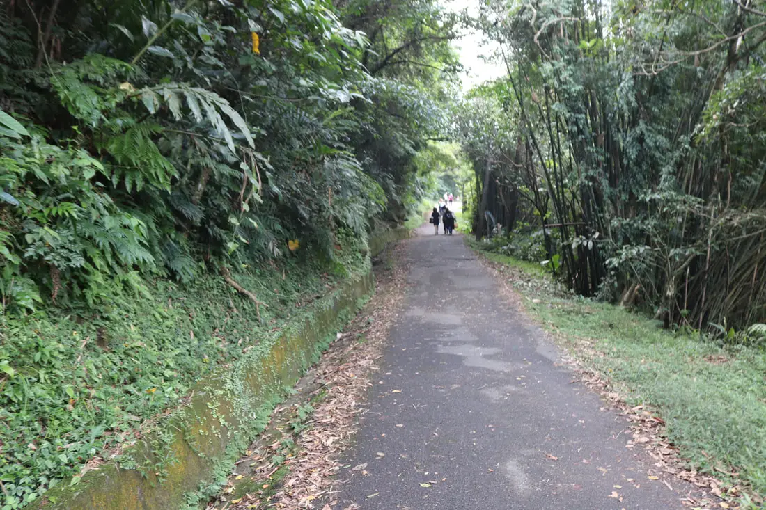
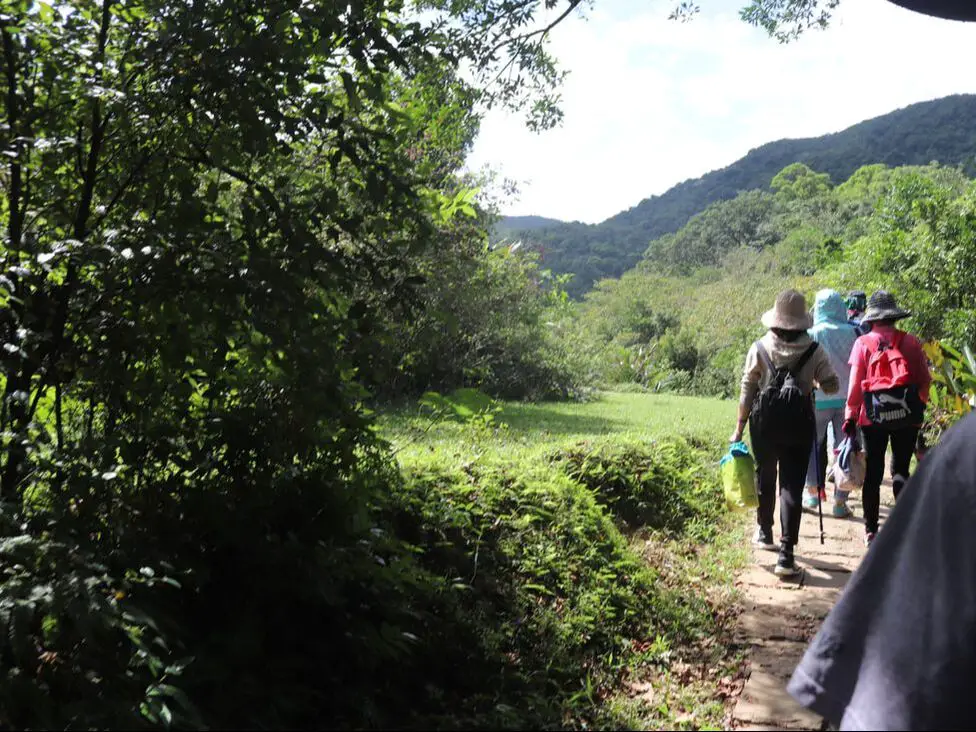
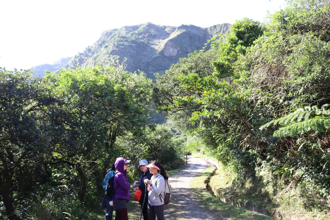
The road continues along a paved flat route for some time.
There is one last muddy spot to park here right before the trail turns into stone steps.
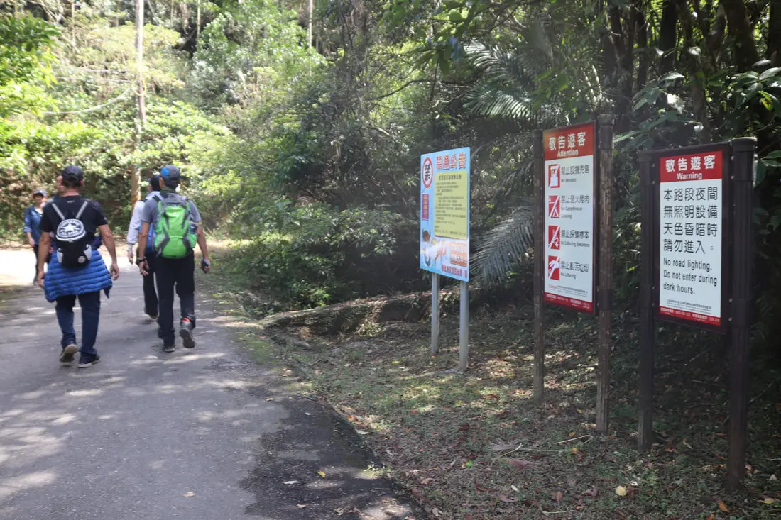
Apparently you cannot enter the trail after dark.
Again, there are signs everywhere so you will not miss the entrance to the trailhead.
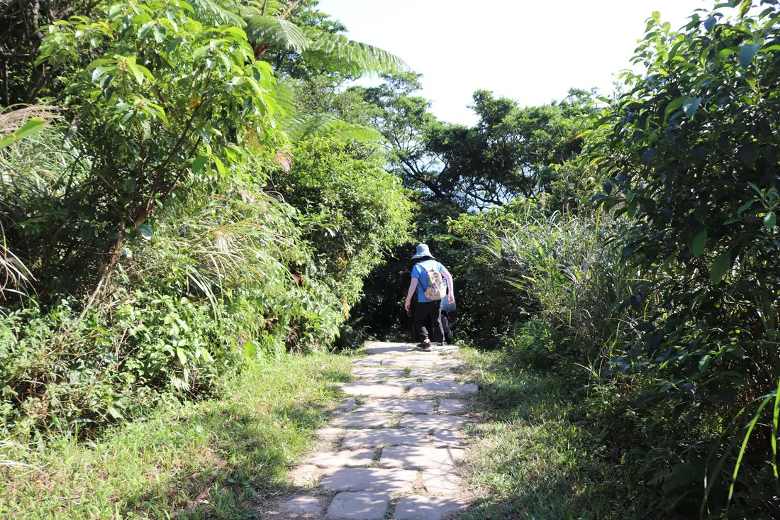
11:40 AM, about 3.8 KM. We made it to the stone steps along the old trail. You cannot take a vehicle any further here.
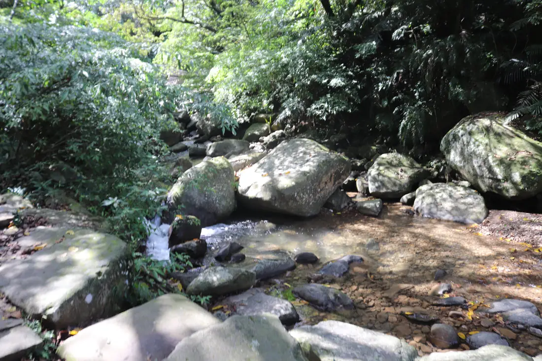
The trail follows a brook here for a while.
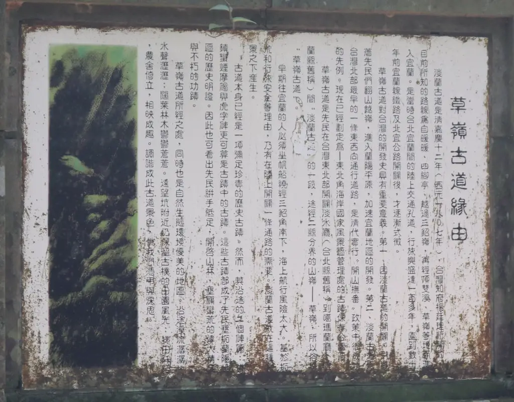
History of Caoling Old Trail (similar to what I wrote above).
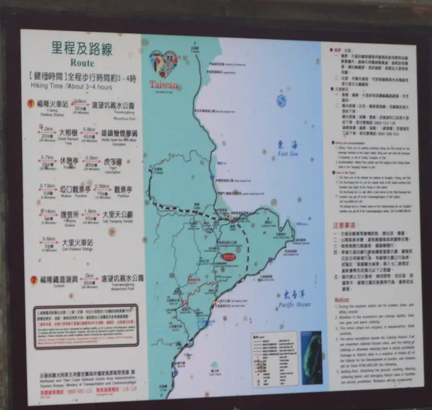
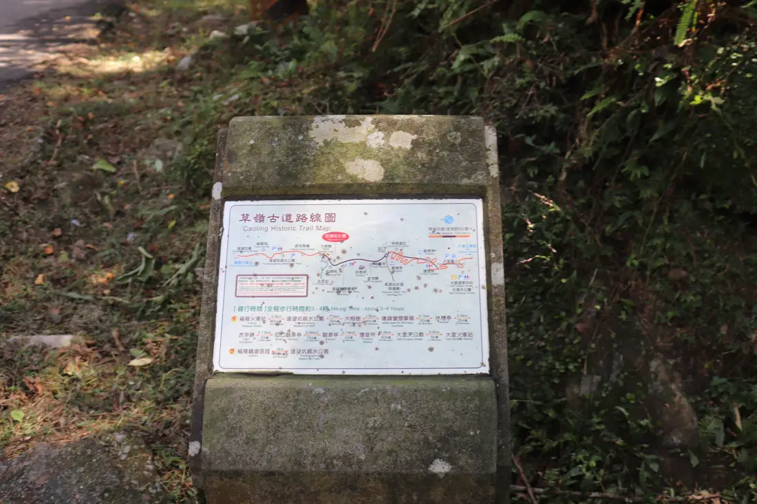
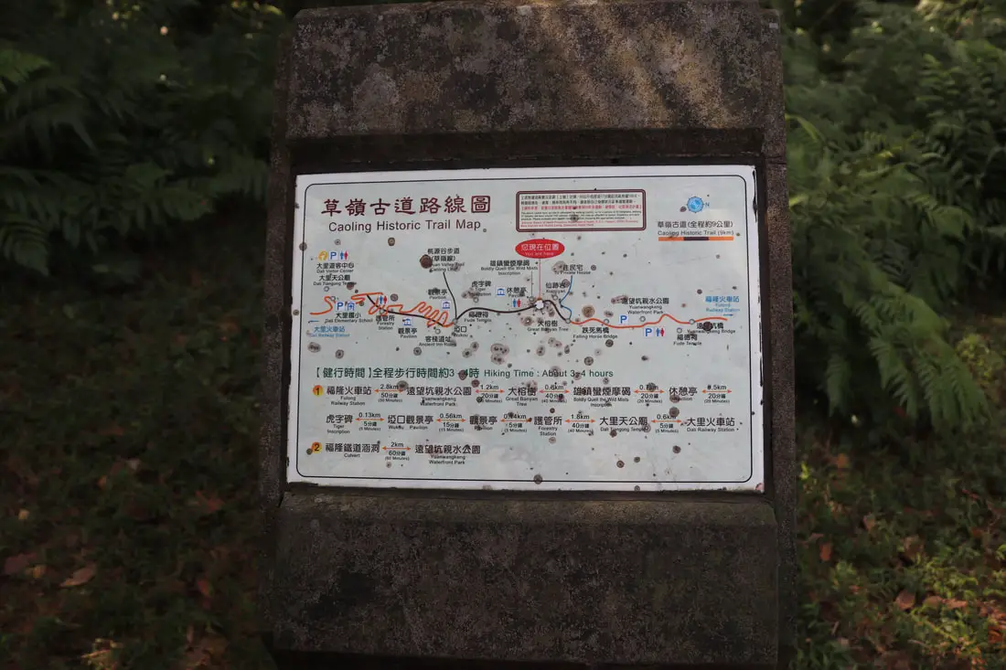
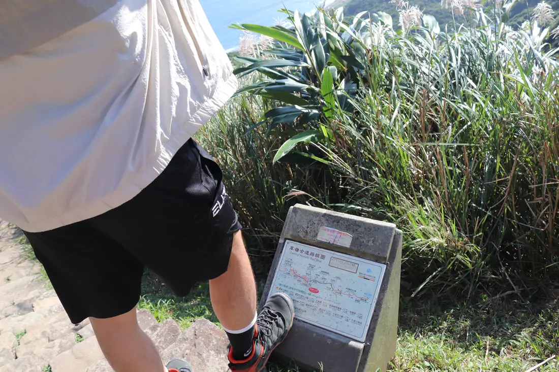
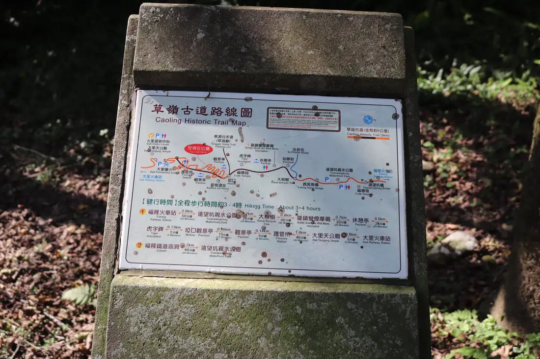
Map of the trail.
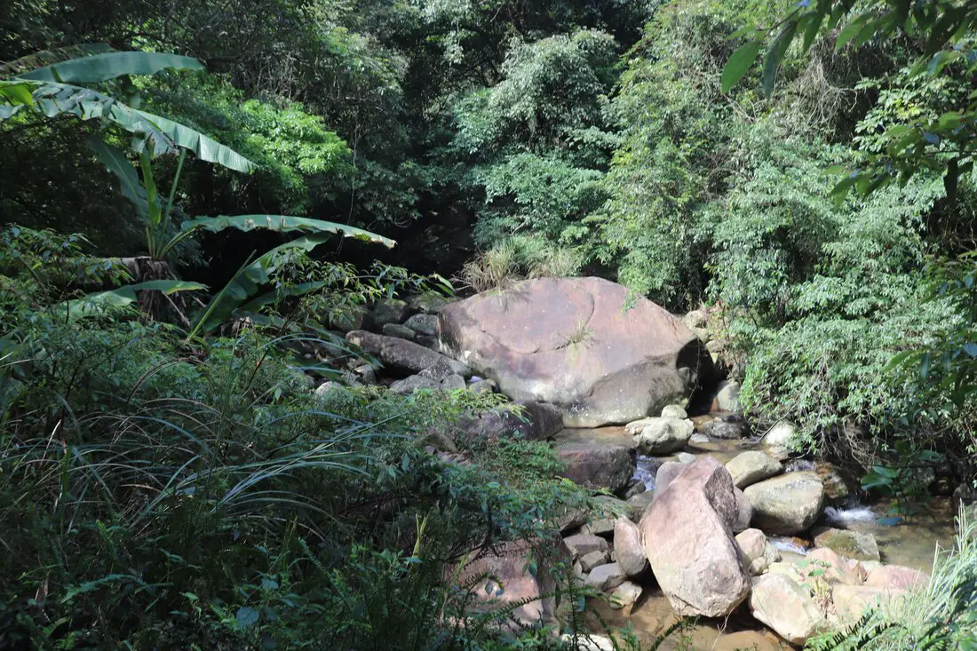
Large boulder in the river.
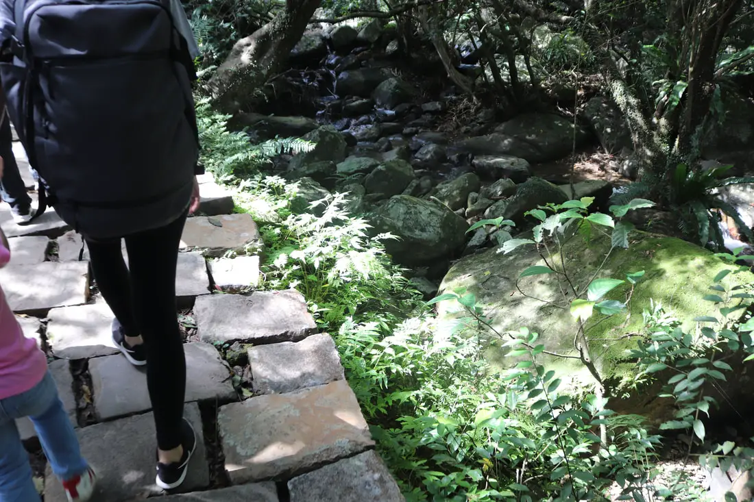
The trail here is paved with stone all the way to the top.
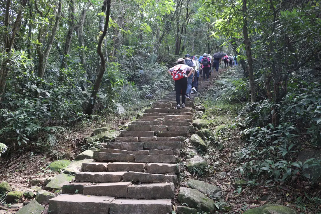
11:52 AM. We reach the stone steps. This is the hardest and steepest part of the trail, but it only lasts for a few hundred meters. The rest of the trail is pretty flat.
11:59 AM, the stone steps are gone, and the rest of the trail was pretty flat.
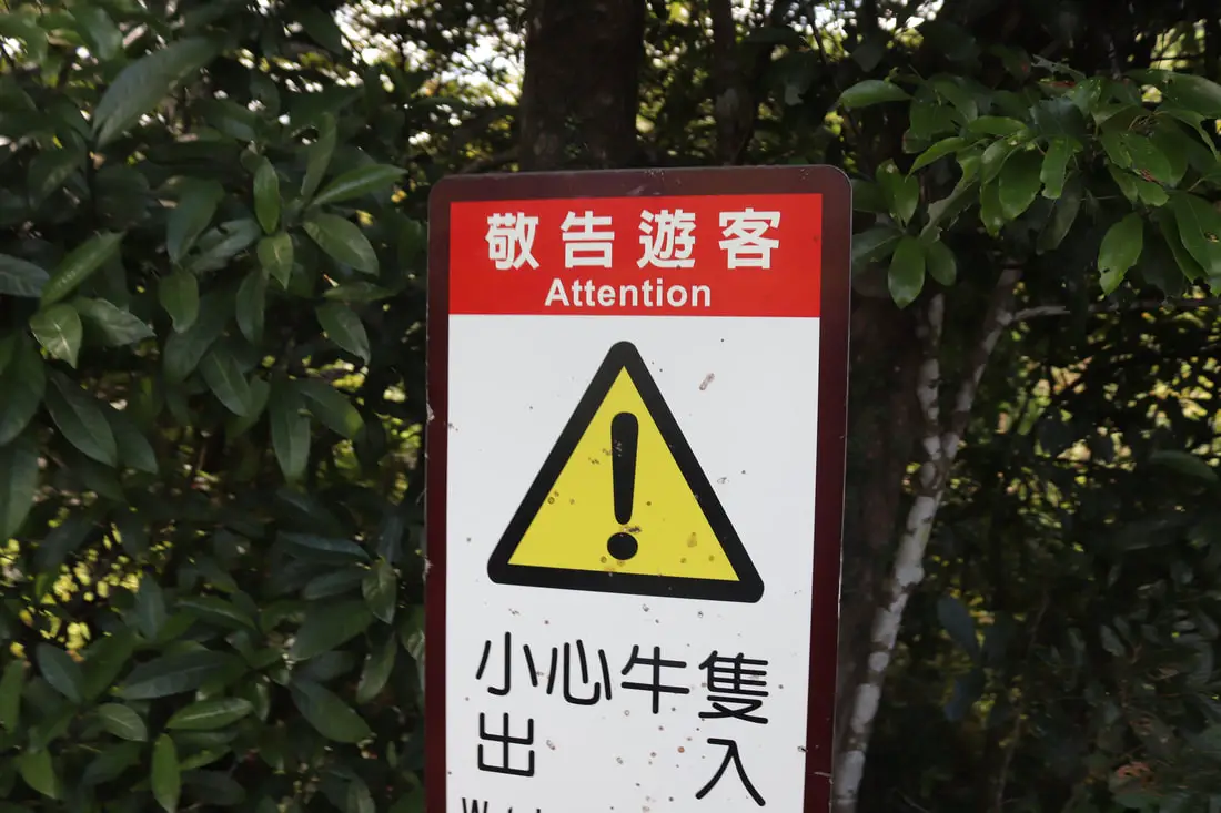
Watch out of Buffalo!
Okay, there were a few more stone steps. But not that many.
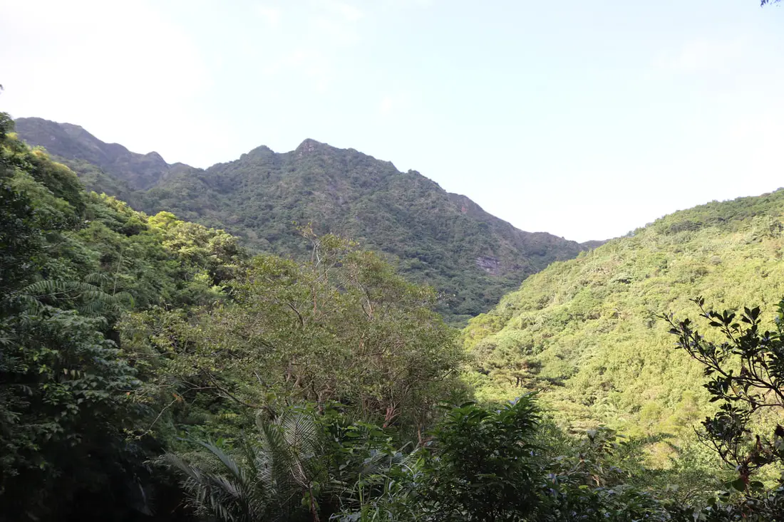
View of someone's farmland across the valley.
Another view of the valley.
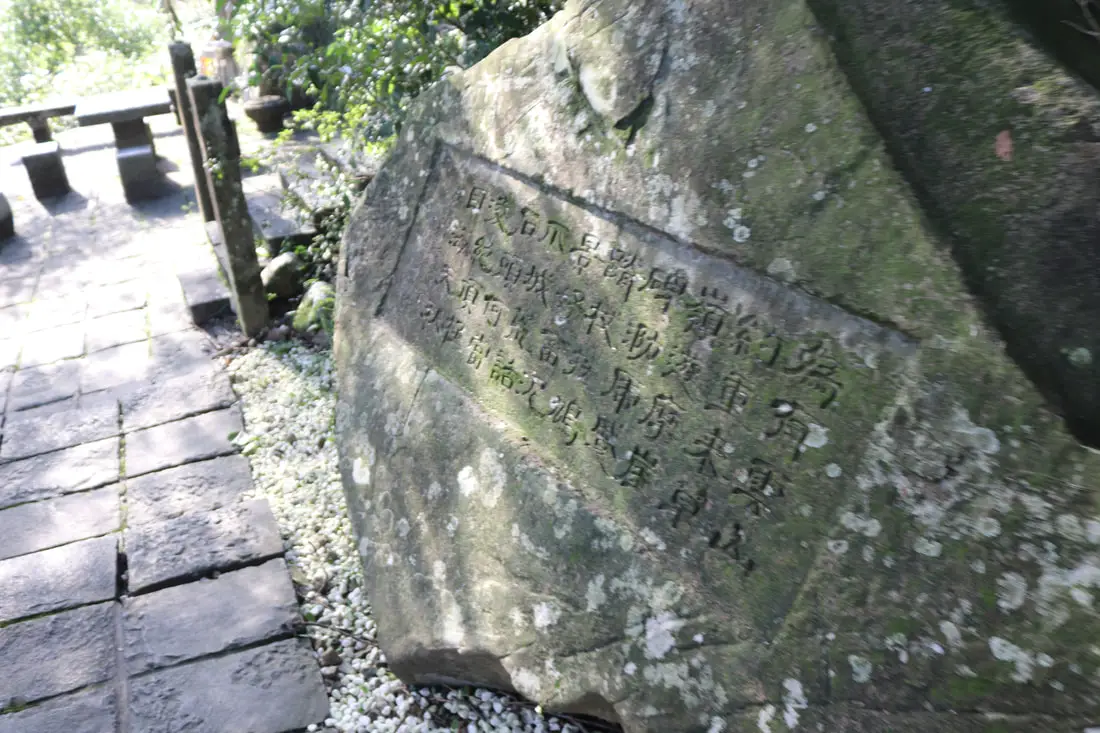
12:07 AM, we made it to 4.8 KM to the Xiongzhenmanyan Monument (Xióng zhèn mán yān bēi).
Xiongzhen Manyan Monument 雄鎮蠻煙碑 Xiongzhen Manyan MonumentXiongzhen Manyan Monument 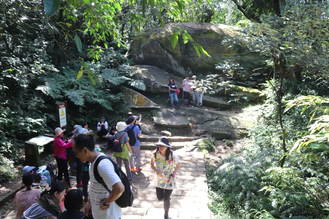
The monument here was made by commnader general Liu Mingdeng (劉明燈) in 1867.
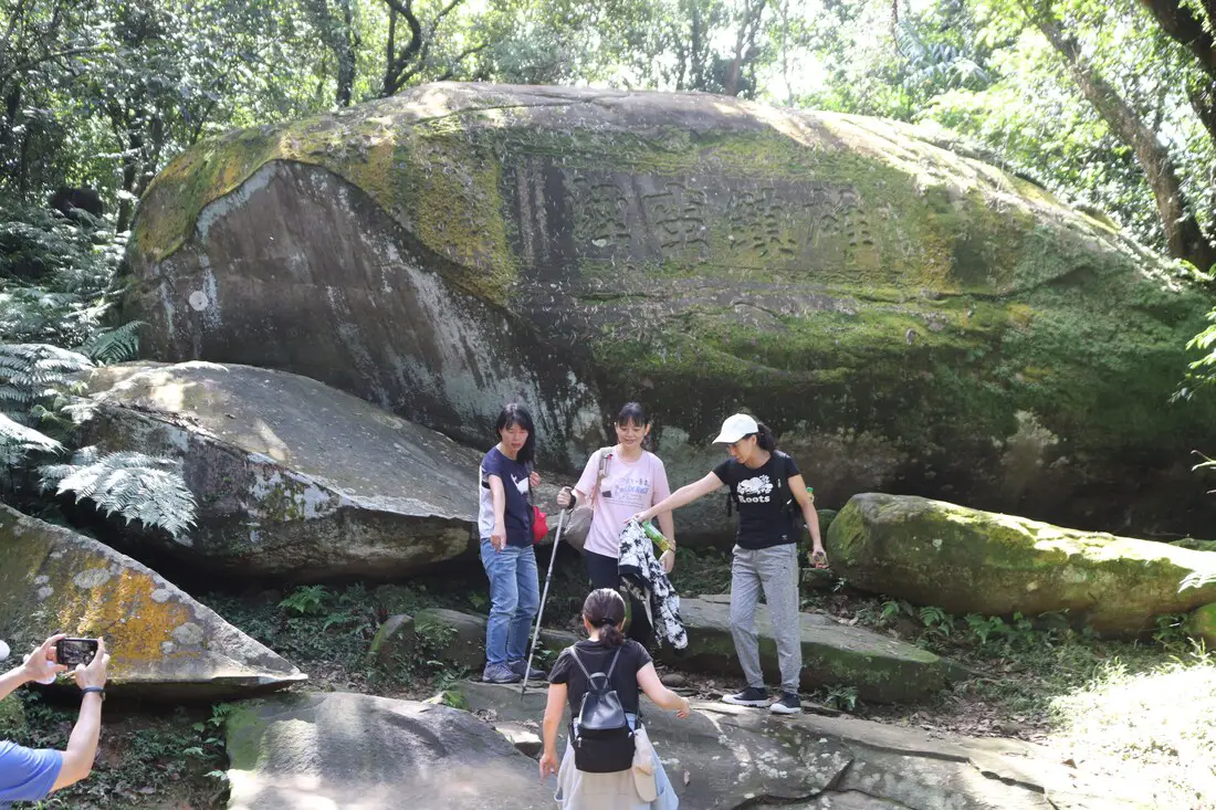
The legend is the Liu Minddeng was walking along the trail and ran into some thick fog and almost lots his way. He made the stone monument to ward against fog and evil spirits.
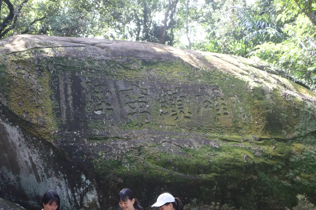
The words 雄鎮蠻煙 Xióng zhèn mán yān bēi probably mean: Hero Suppresses the Overwhelming Mist.
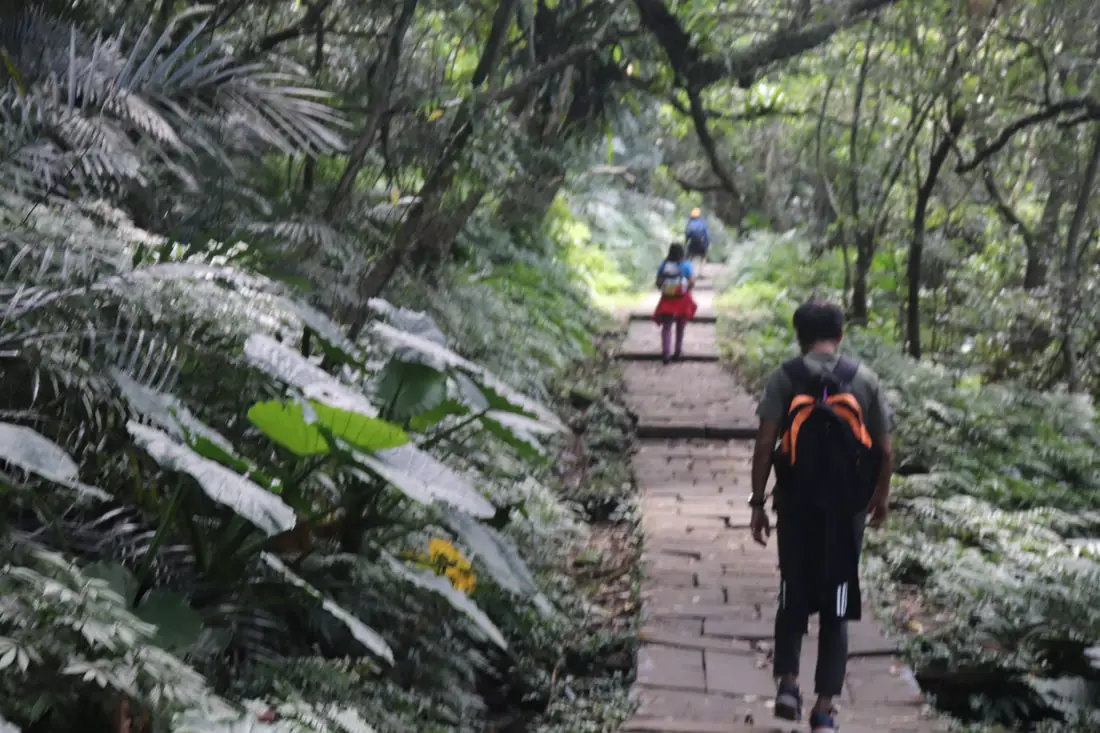
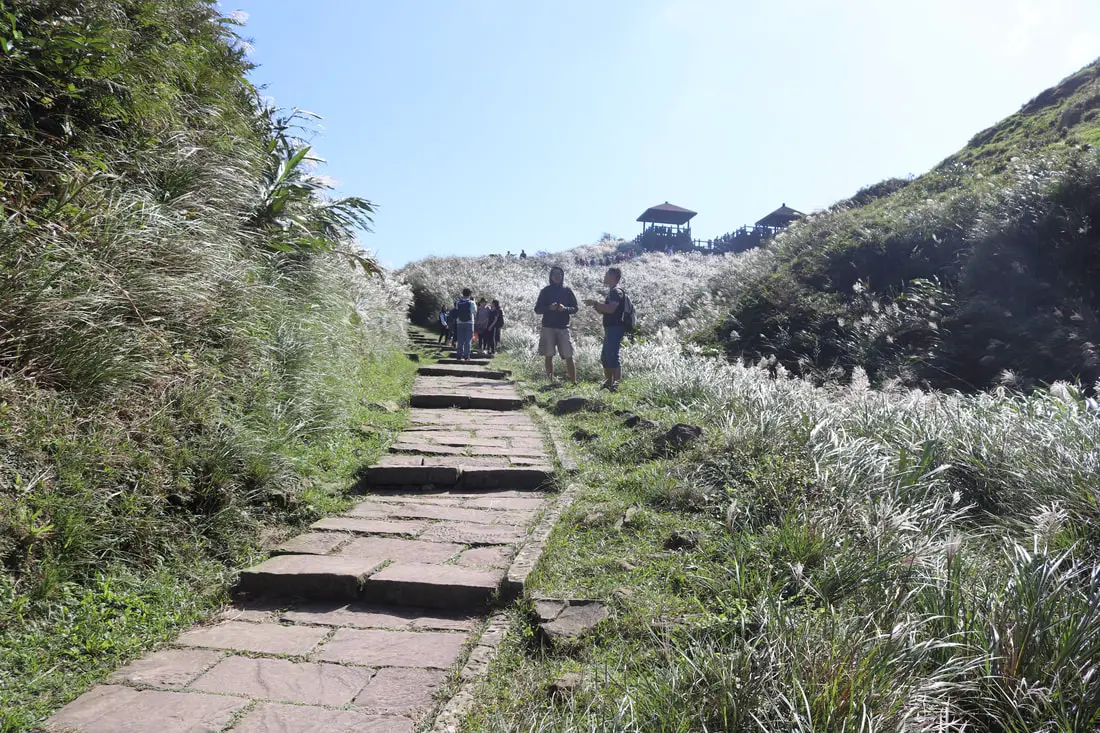
The stone path here is pretty flat.
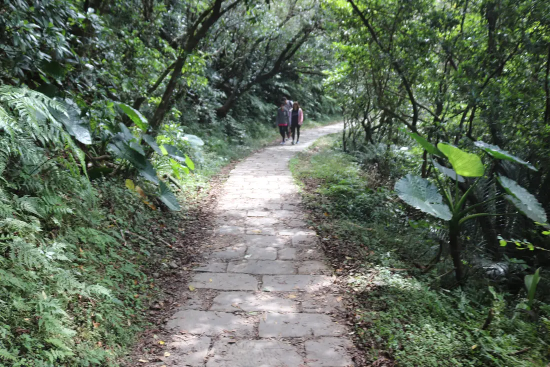
Perfectly flat trail!
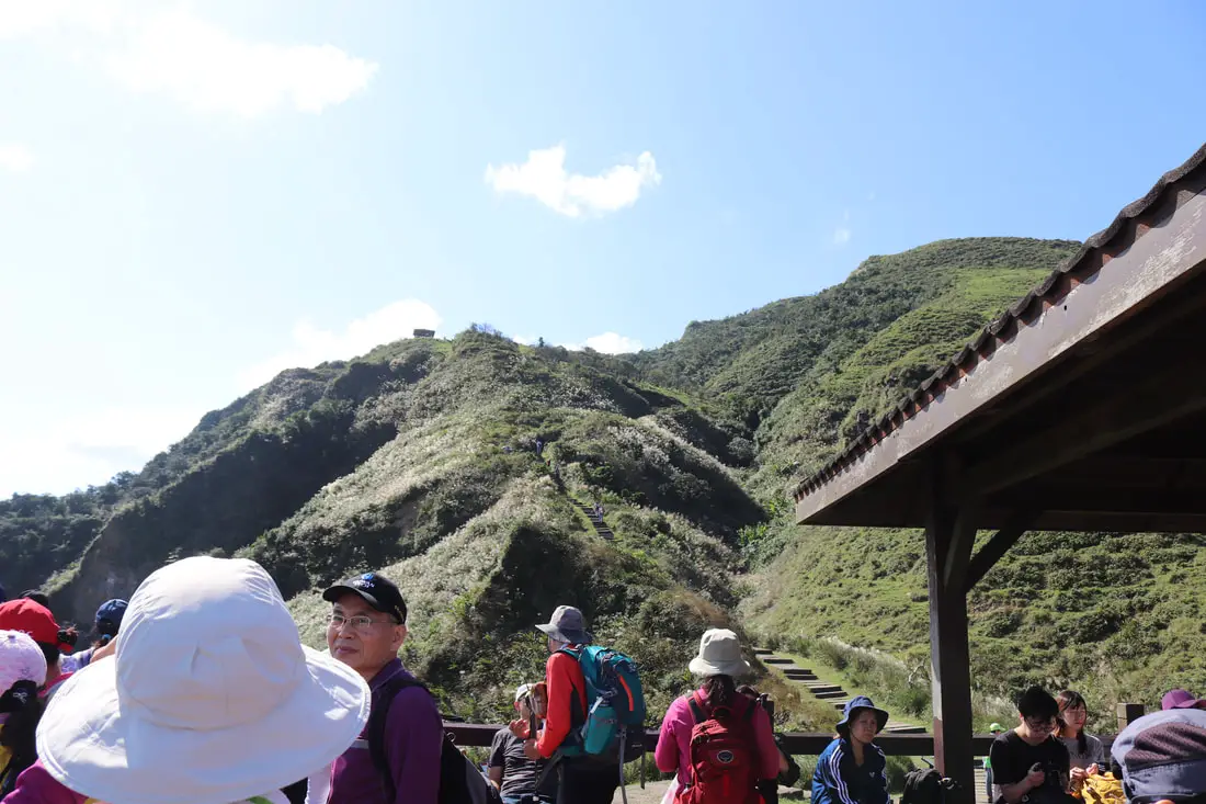
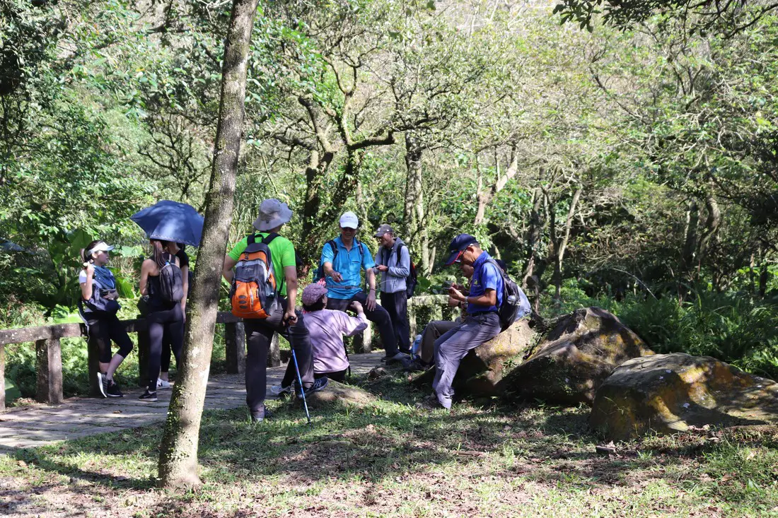
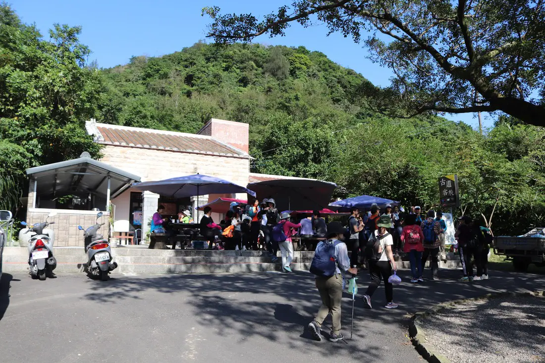
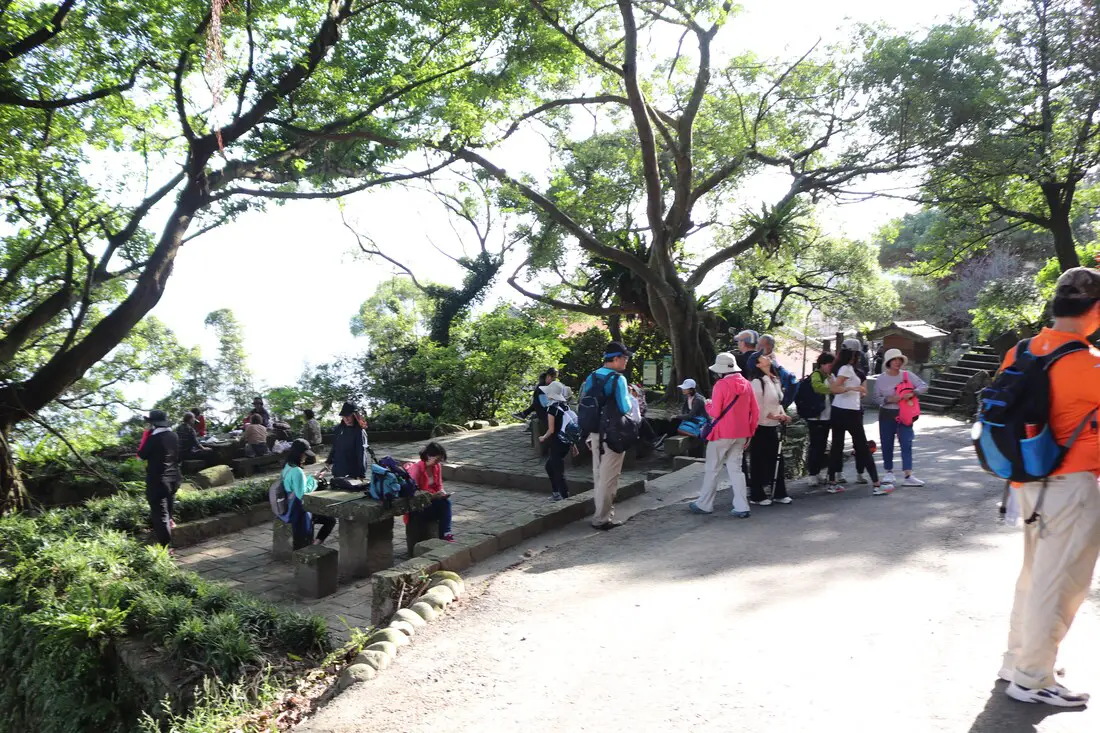
12:27 PM, we made it to the resting pavilion at about 5.6 KM.
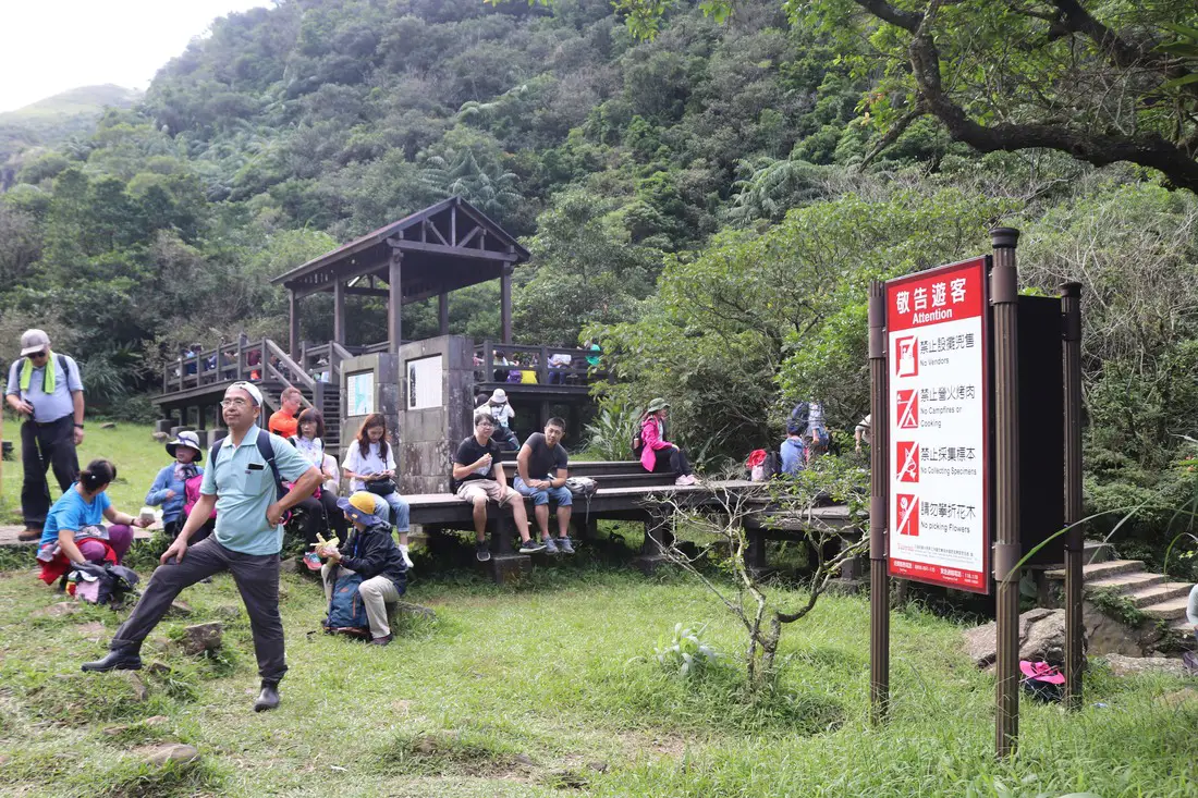
There are lots of places to rest and there are restrooms. But it can get super crowded here.
View of the restrooms.
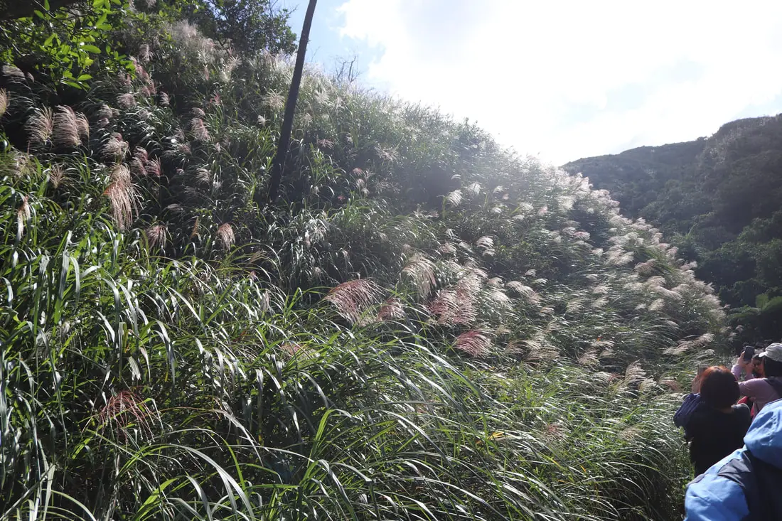
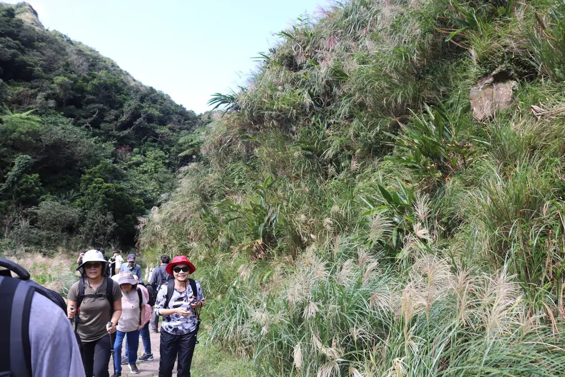
1 PM, after about a half hour rest, we saw the first view of mang grass. Everyone stopped to take photos.
We continued on past the crowd to take our own selfies.
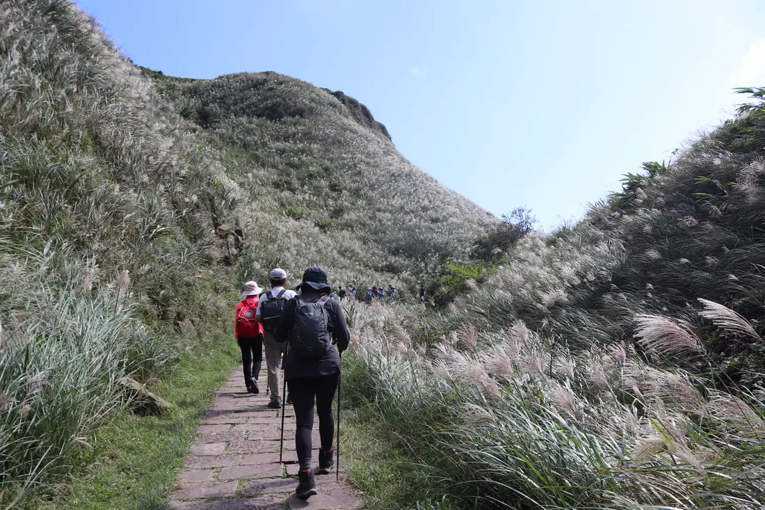
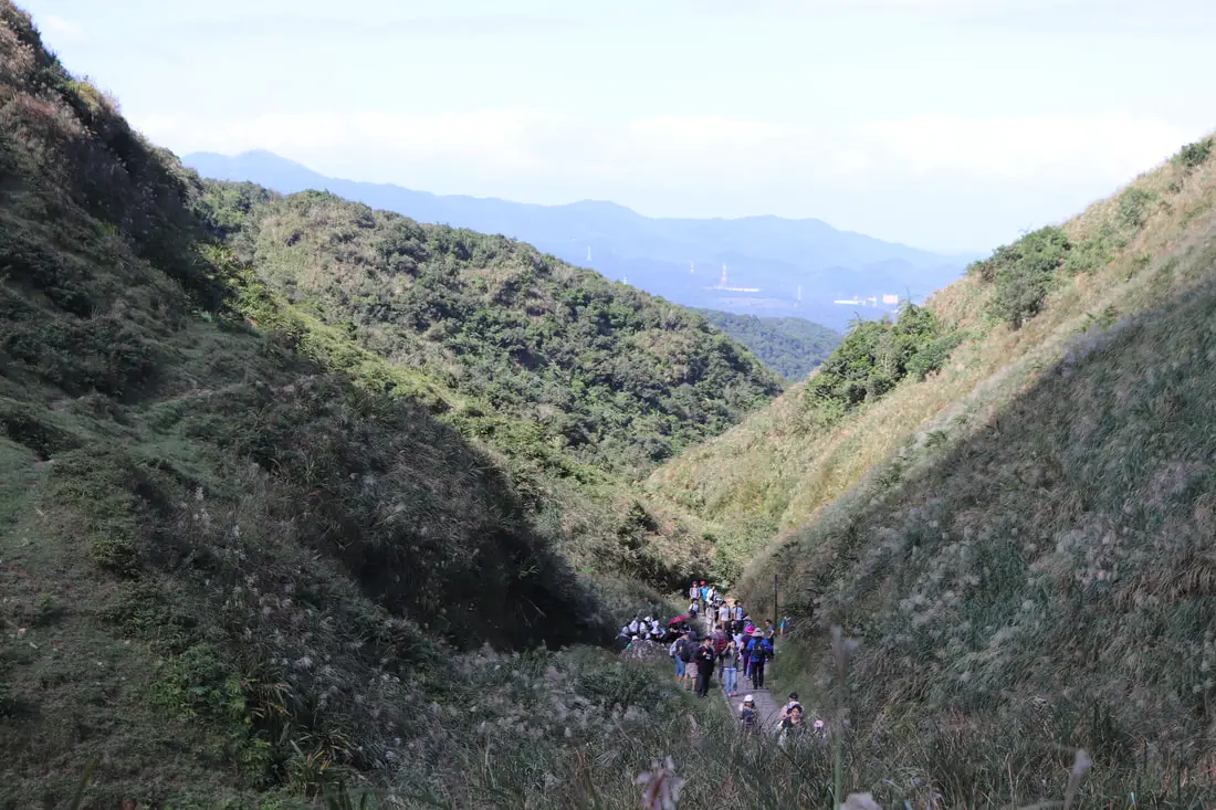
We came into a mang grass valley.
View looking up the grassy hills.
Another view of the grassy hills.
View looking back down the trail.
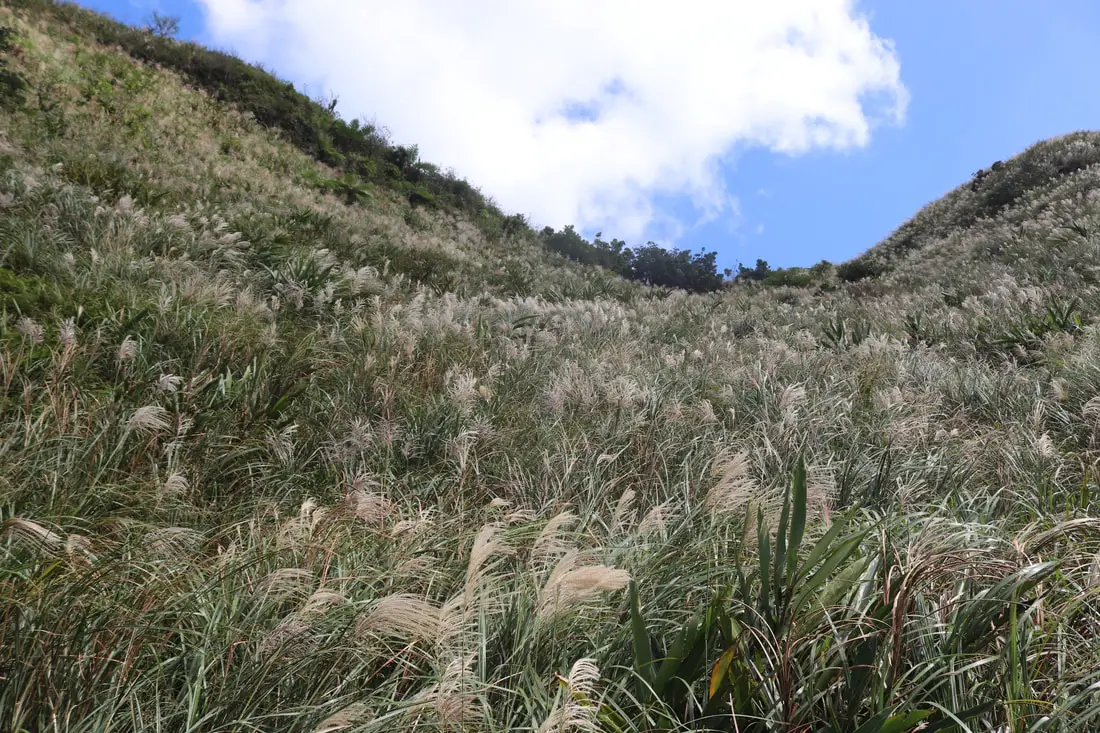
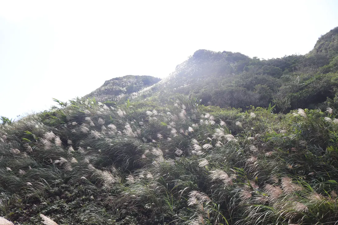
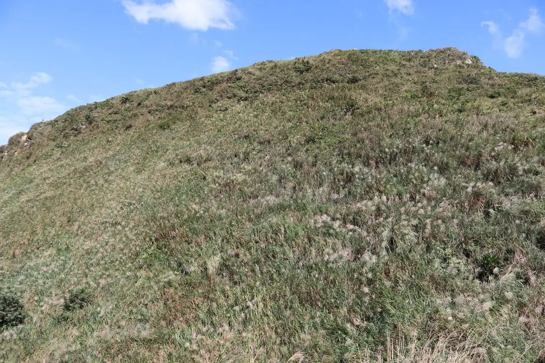
Grass as far as you can see.
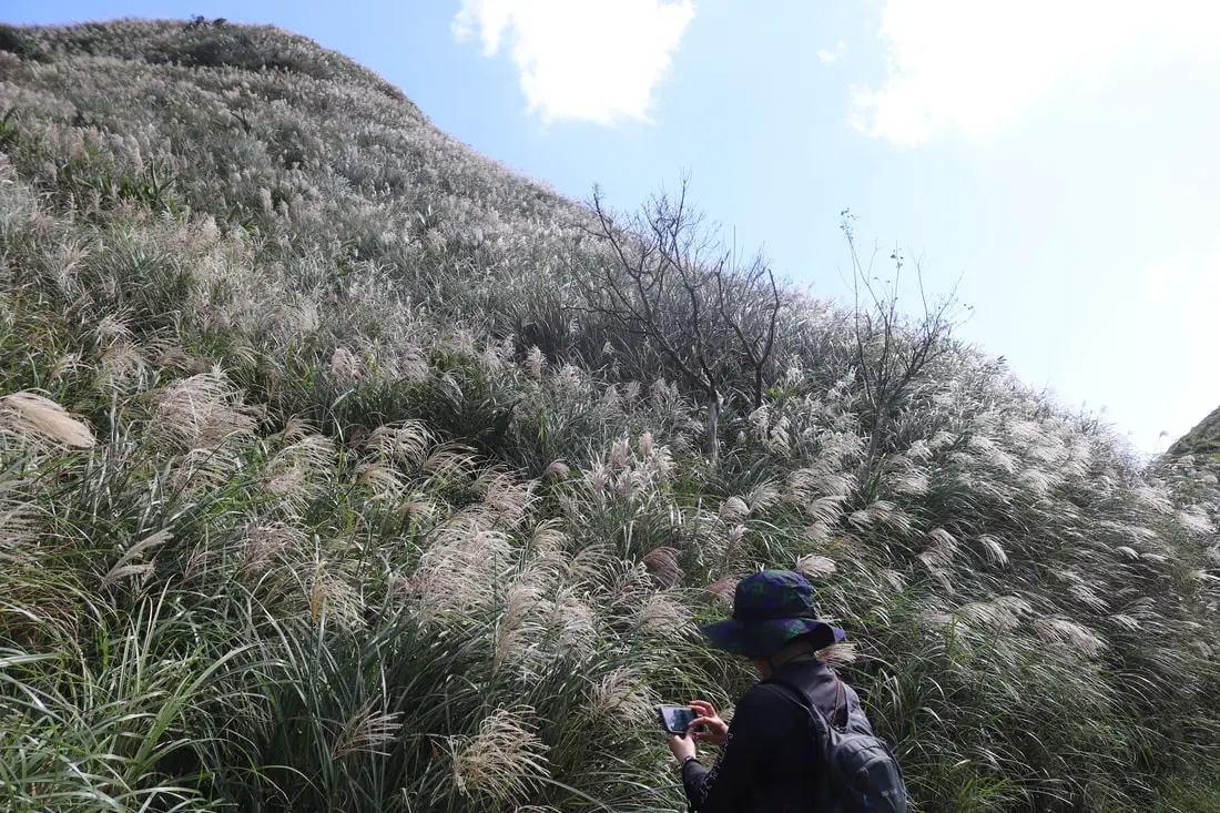
More mang grass and a dead tree. It is too windy here in the winter for trees to grow I think.
More mang grass.
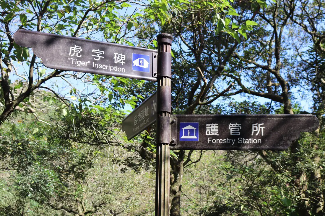
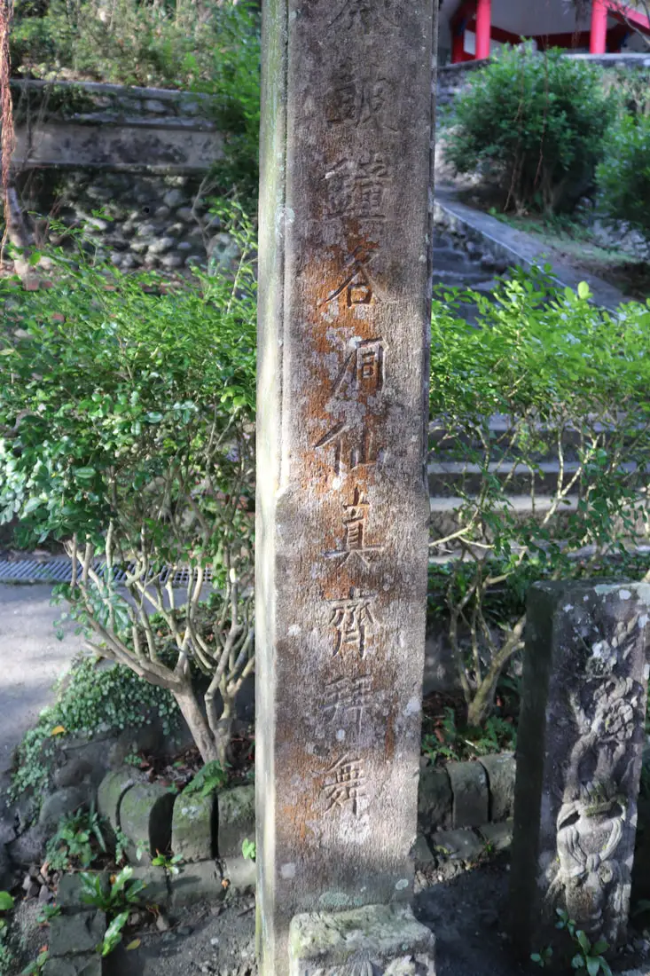
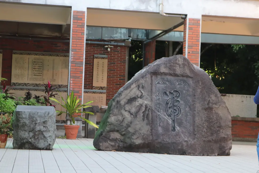
Huzi (Tiger Inscription) Monument 虎字碑 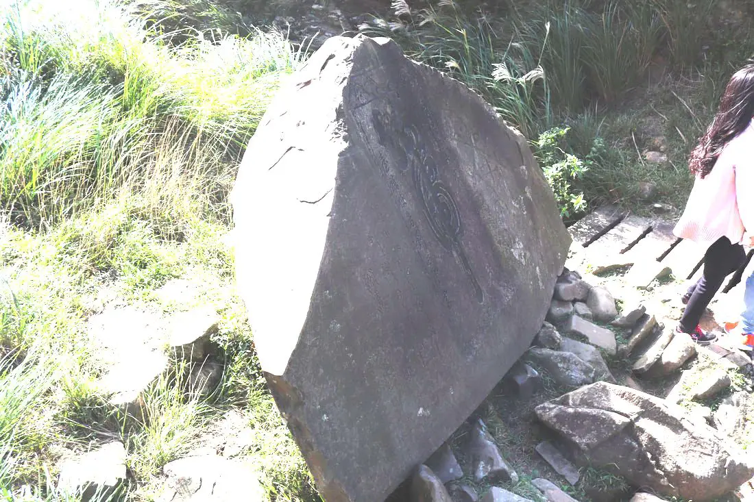
1:08 AM, we made it 6.1 KM to the tiger inscription. This was also made in 1867 by Liu Mingdeng. Another similar Tiger inscription was made on the southern Danlan Old Trail path on the border of Pinglin and Yilan. The stones are supposed to bring peace and good luck.
After the tiger inscription, it's just a few steps to the top of the mountain.
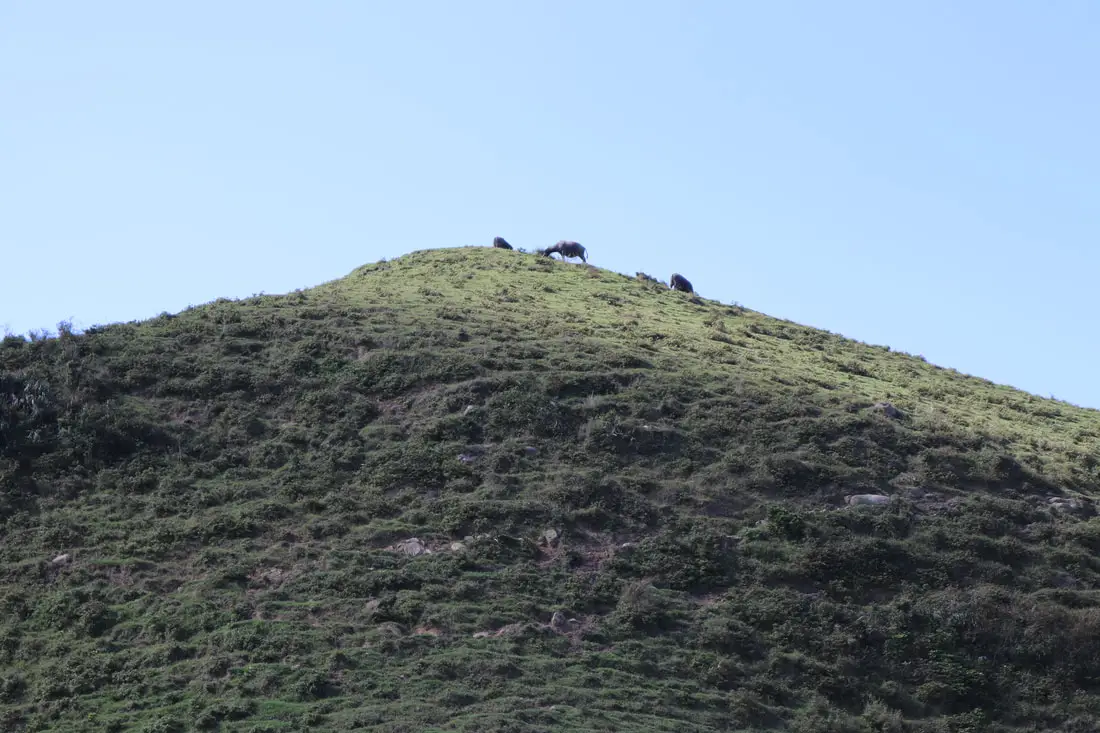
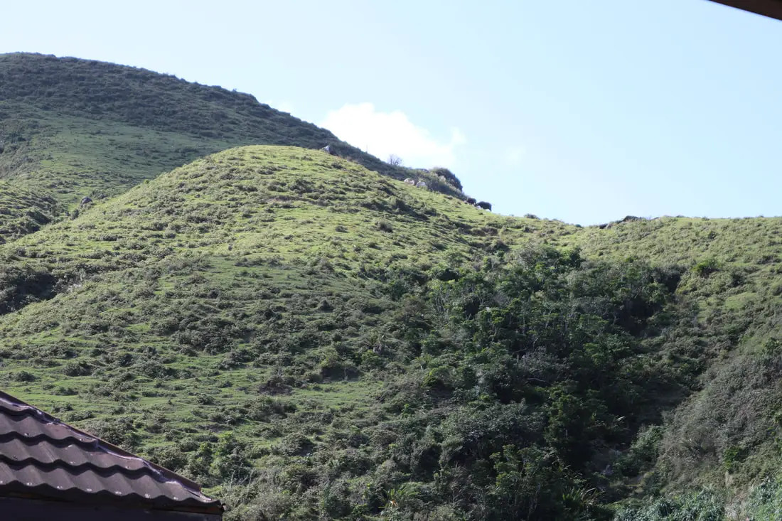
Wild water buffalo on top of the hill.
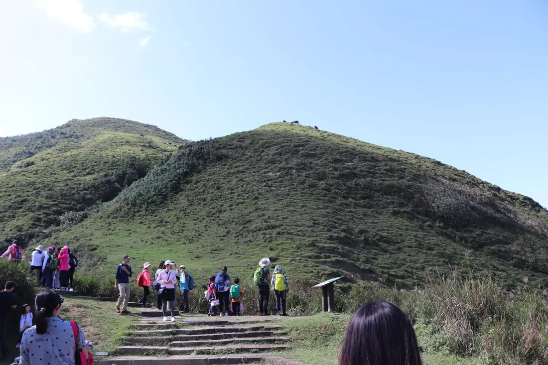
The trail here veers to the right toward Taoyuan Valley.
The trail to Taoyuan Valley is about 4.8 KM long and follows the ridge. You can see lots of wild cattle here. There is a great blog about this trail here.
View of cows on the hill overlooking Fulong.
View of the Taoyuan Valley trail intersecting with the Caoling Old Trail which goes down the mountain to Dali Station.
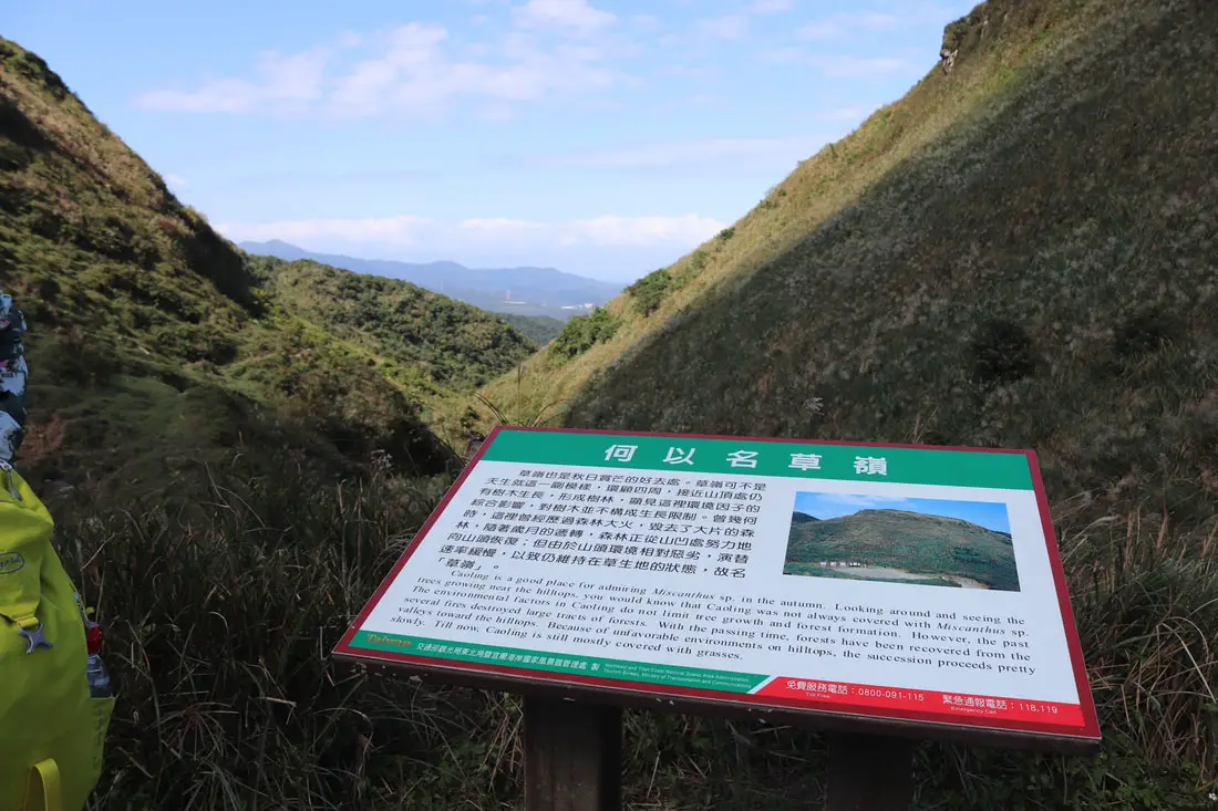
"Caoling is a good place for admiring Miscanthus especially in Autumn. Looking around the trees growing near the hilltops, you would know that Caoling was not always covered with Miscanthus. The environmental factors in Caoling do not limited tree growth and forest formation. However, the past several fires destroyed large tracts of forests. With the passing of time, forests have been recovered from the valleys toward the hilltops, Because of unfavorable environments on hilltops, the succession proceeds pretty slowly. Till now, Caoling is mostly covered with grasses."
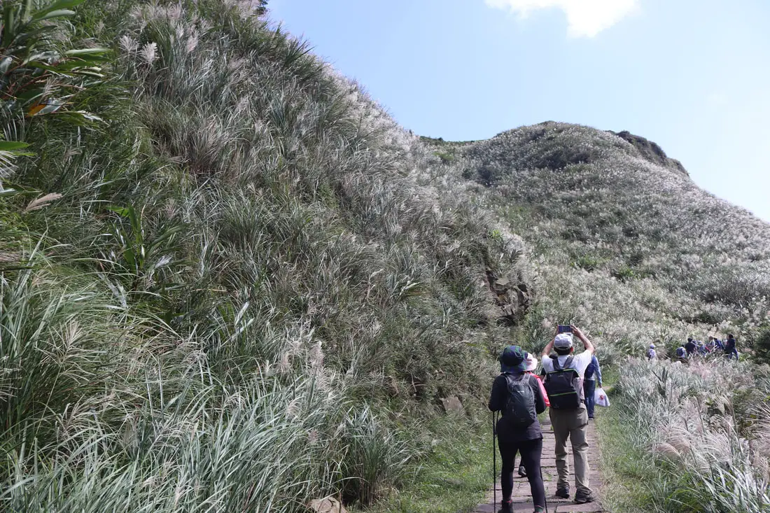
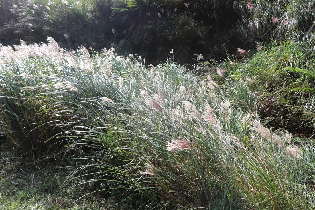
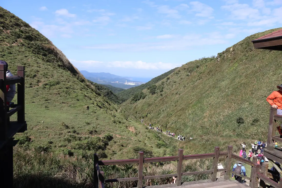
View down the grassy canyon along the trail.
More grass along the hill.
More mang grass on the hill.
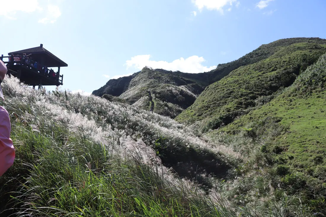
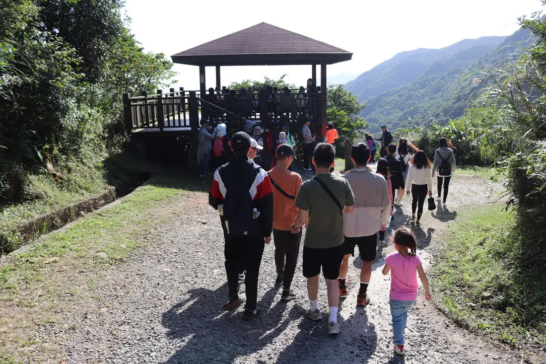
1:16 AM, we make it to the viewing pavilion at 6.3 KM.
Looking at the trail going up to Taoyuan Valley.
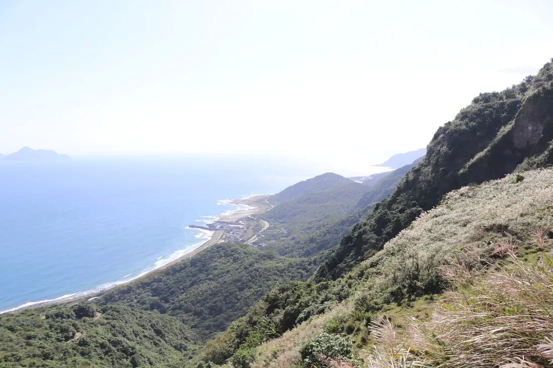
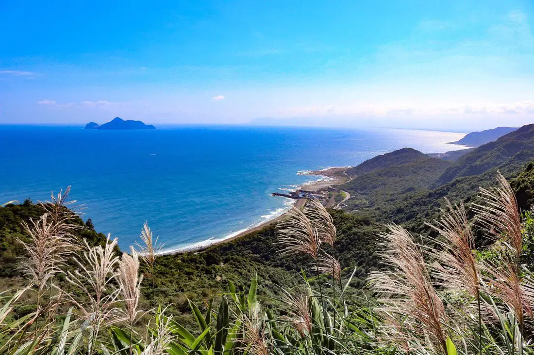
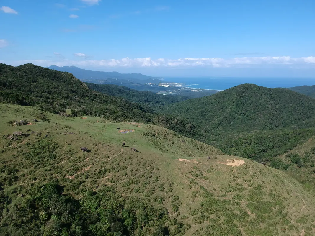
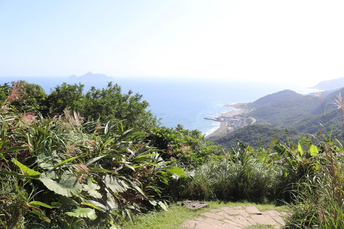
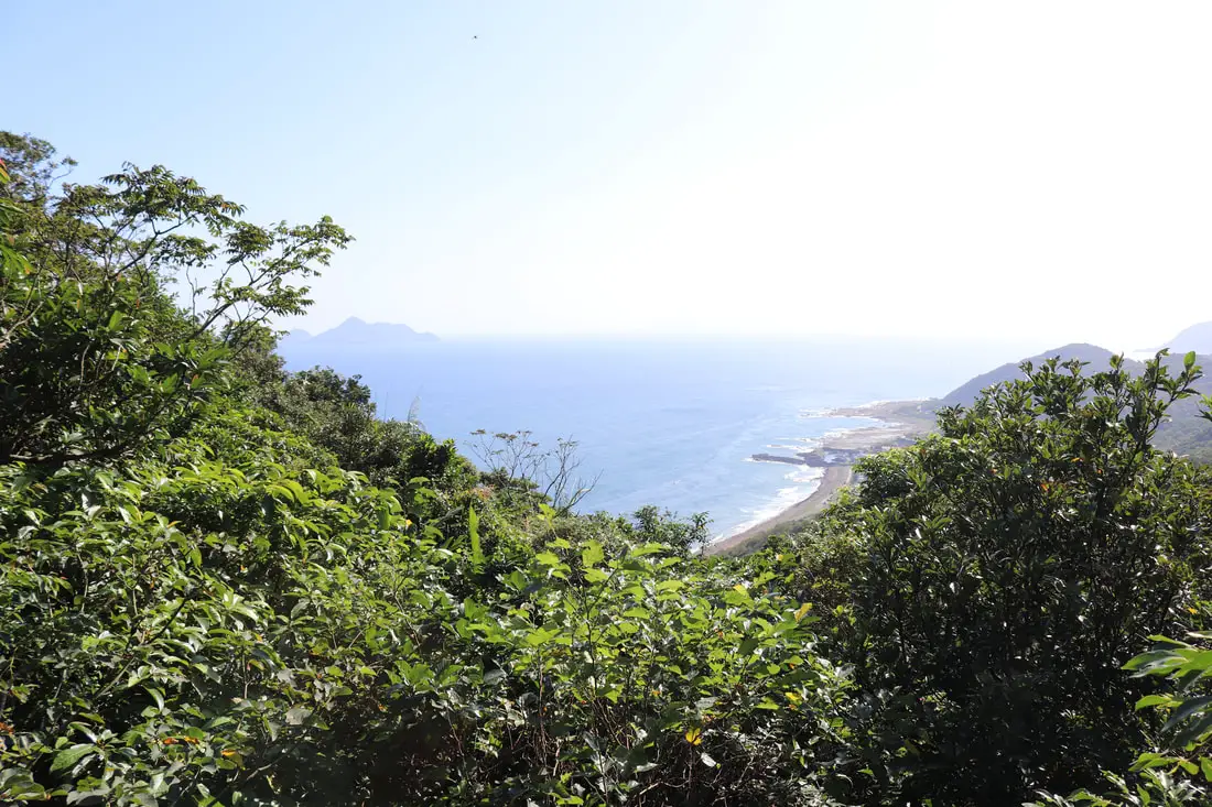
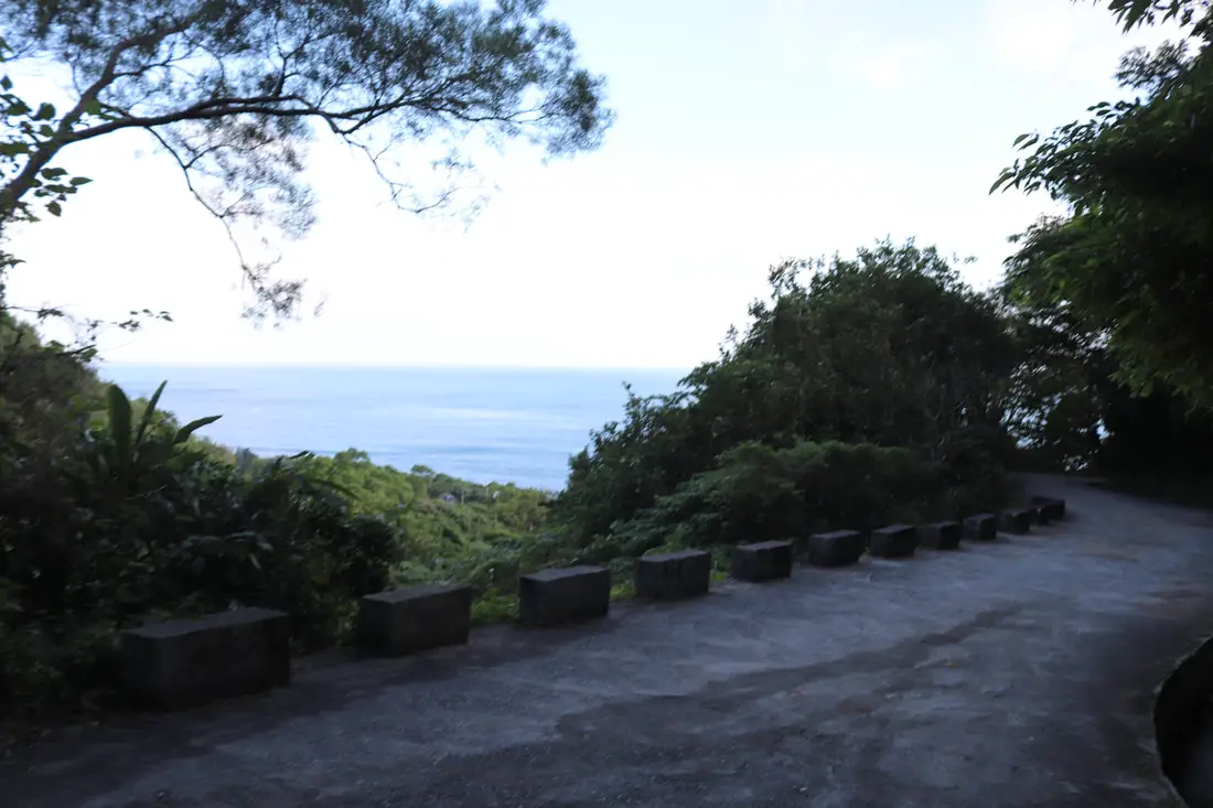
View of the ocean along Toucheng Township of Yilan.
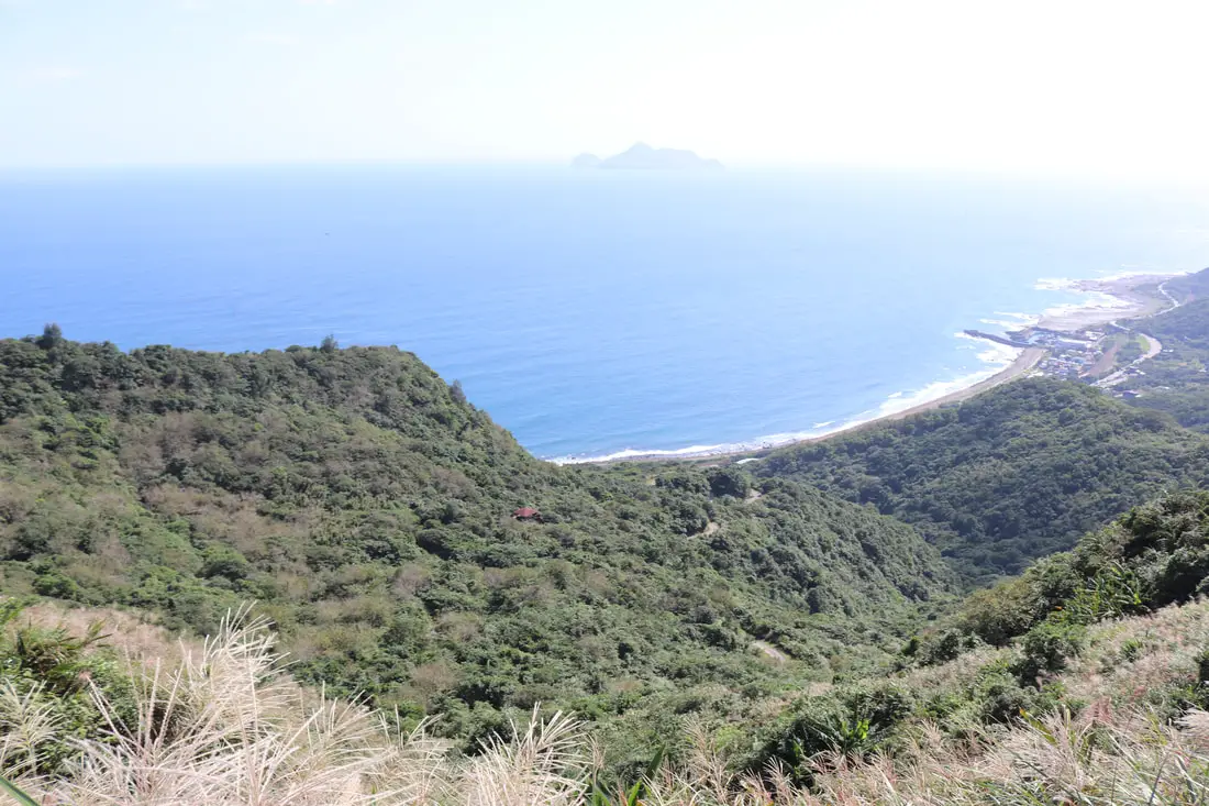
You can see Turtle Island in the distance.
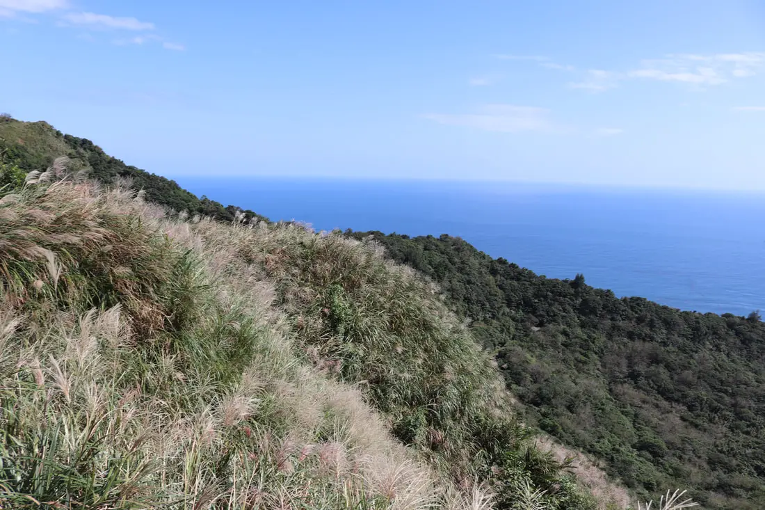
More mang grass on the hills.
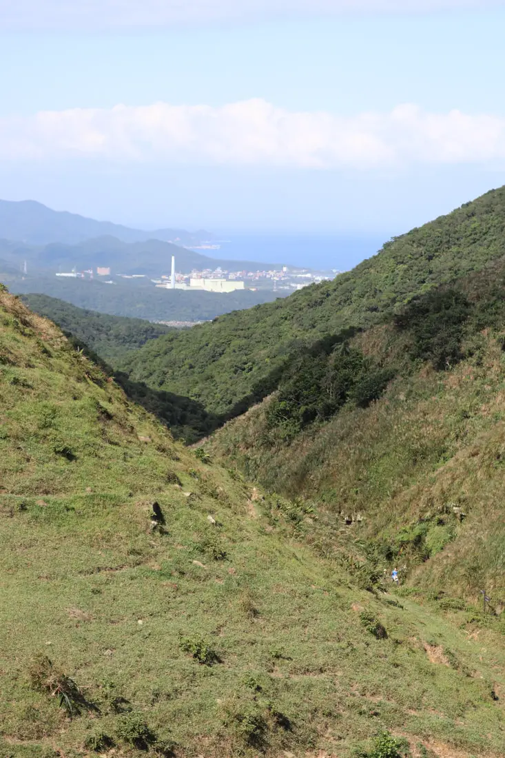
View looking back at Fulong and Gongliao District.
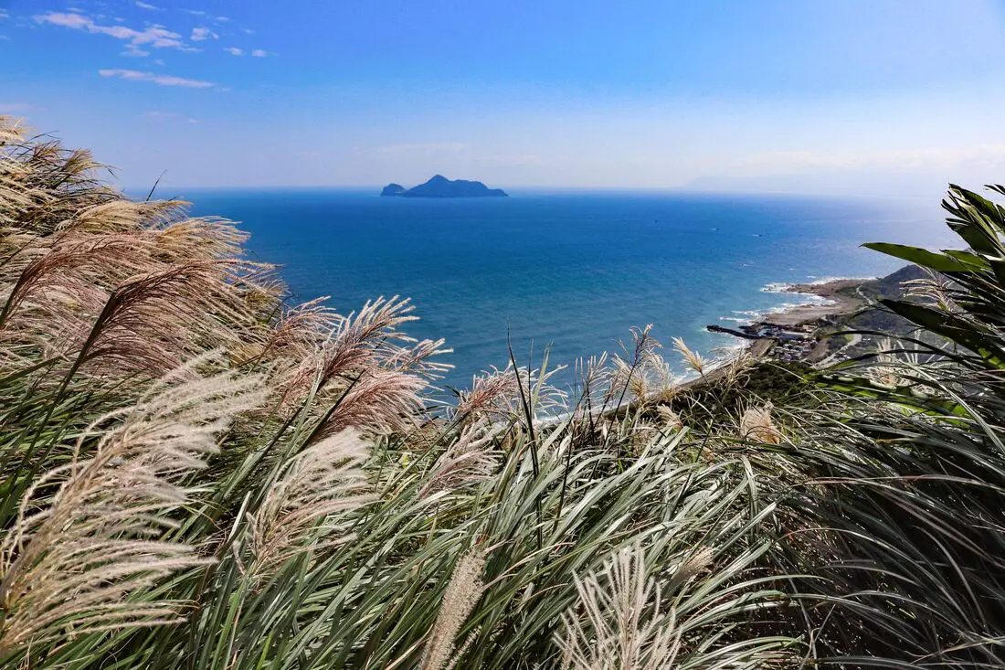
View of mang grass and Turtle Island.
Looking back up at the cows on the ridge.
1:58 PM, after a long rest and flying the drone, it was time to head back down.
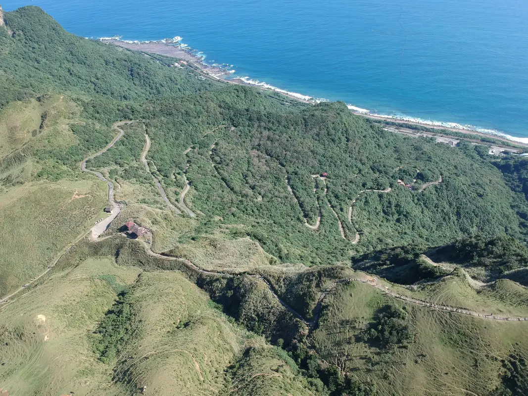
On the way back down, you can choose the stone stairs or the flat windy but long industrial road to Dali.
We chose the stairs.
Coming down on the stairs is much faster.
2:10 PM, we came to the next pavilion at about 6.5 KM.
Signs still point you the right way.
Near here is an old rest house during the Qing Dynasty.
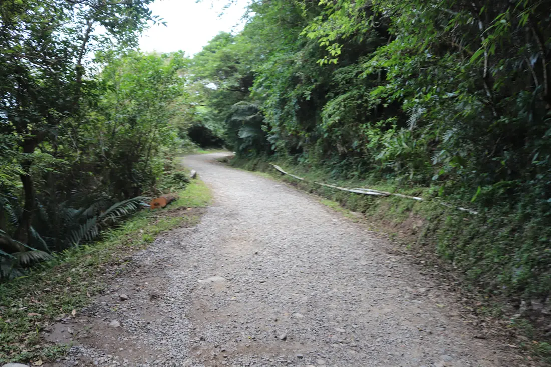
Part of the trail follows the industrial road.
Another pavilion along the trail.
2:12 PM at about 6.7 KM.
View from the pavilion.
View of the industrial road.
The stone steps down continued.
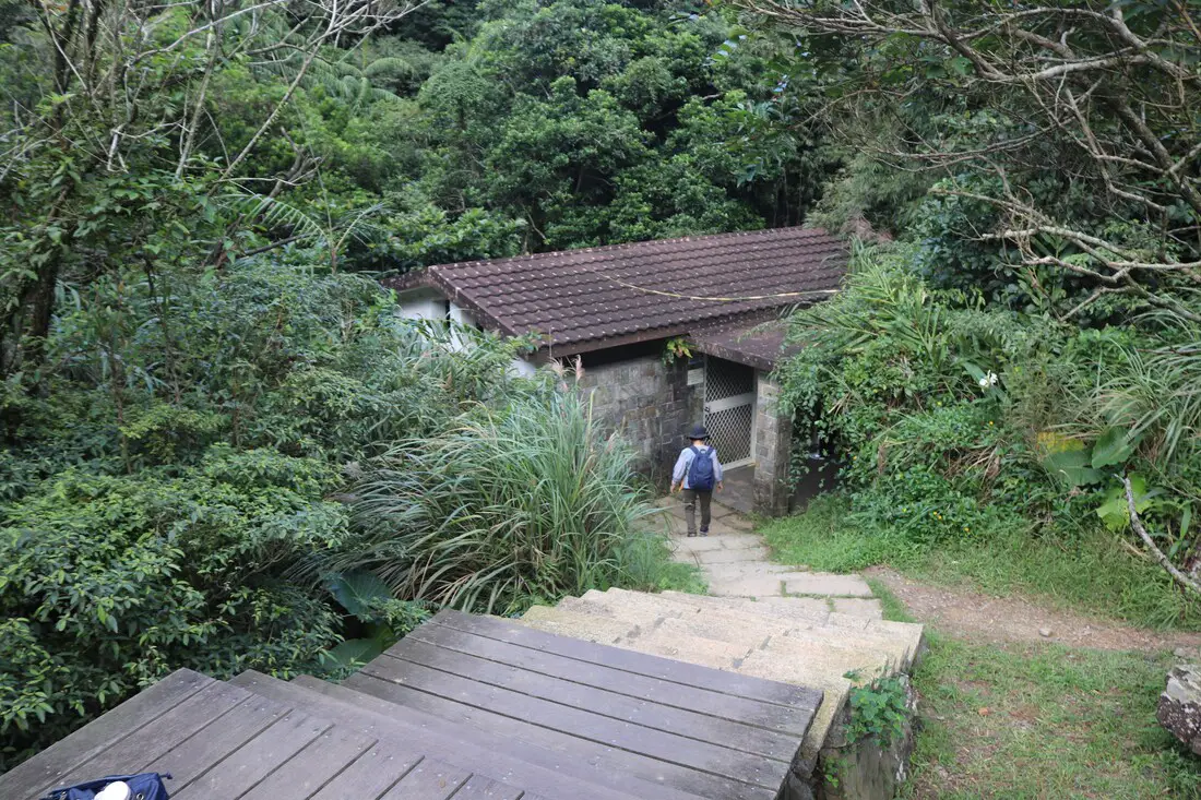
2:27 PM, we made it to the Forestry Station at about 6.9 KM.
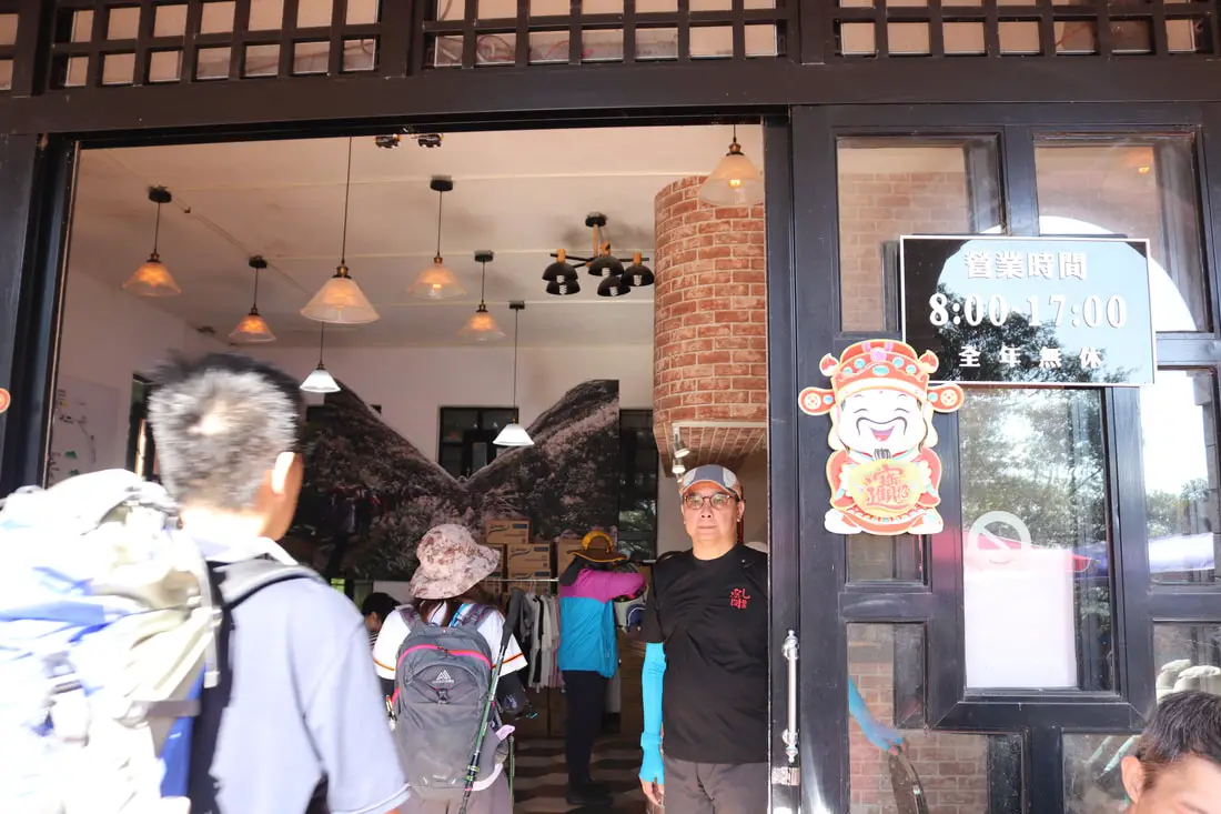
There is a restarunt here that sells drinks and snacks. And there is a bathroom.
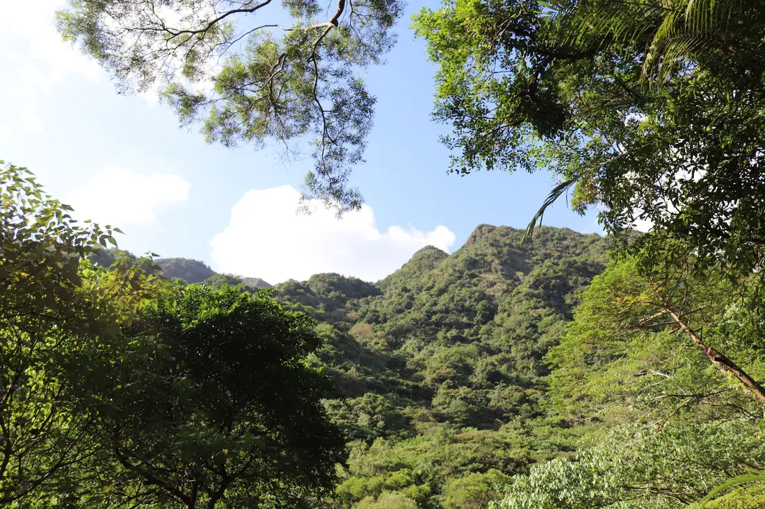
View of the mountains we just climbed.
The stretch between the forestry station and Dali is pretty long and boring.
Another view of the mountains.
Switchback on the industrial road.
View of the ocean.
Getting closer to the temple.
Map of the trail.
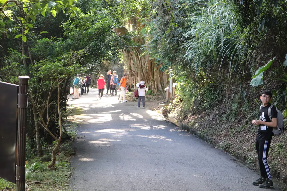
People resting near the trail entrance.
Another ocean view.
3:04 at about 9 KM, we made it to Dali Temple.
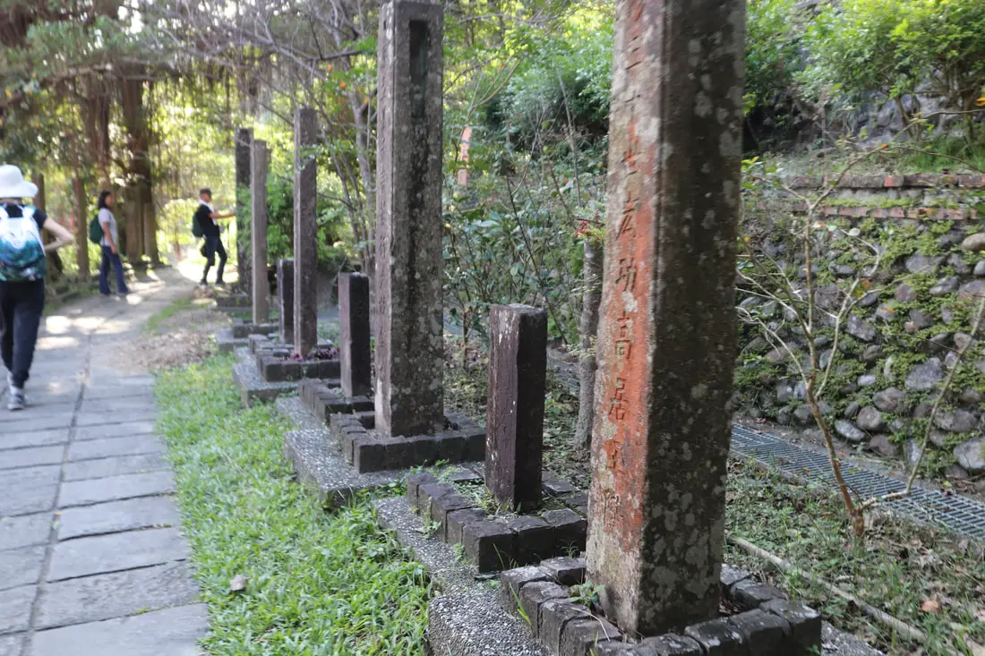
There are a bunch of stone inscriptions here but I can't tell you what they mean.
Another stone inscription, something about maybe this is the start of the Caoling Trail.
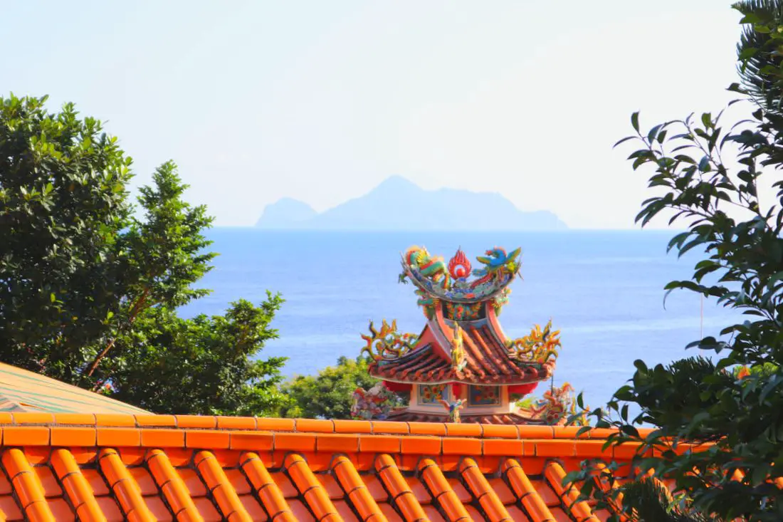
Turtle Island behind Dali Temple.
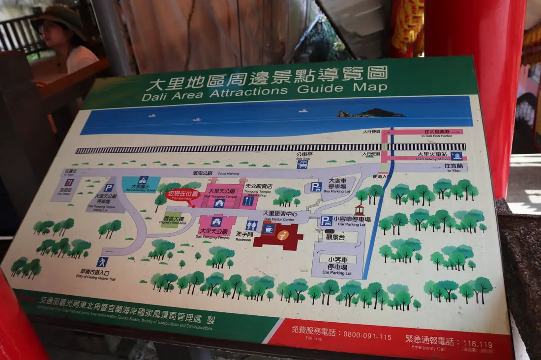
Map of the area.
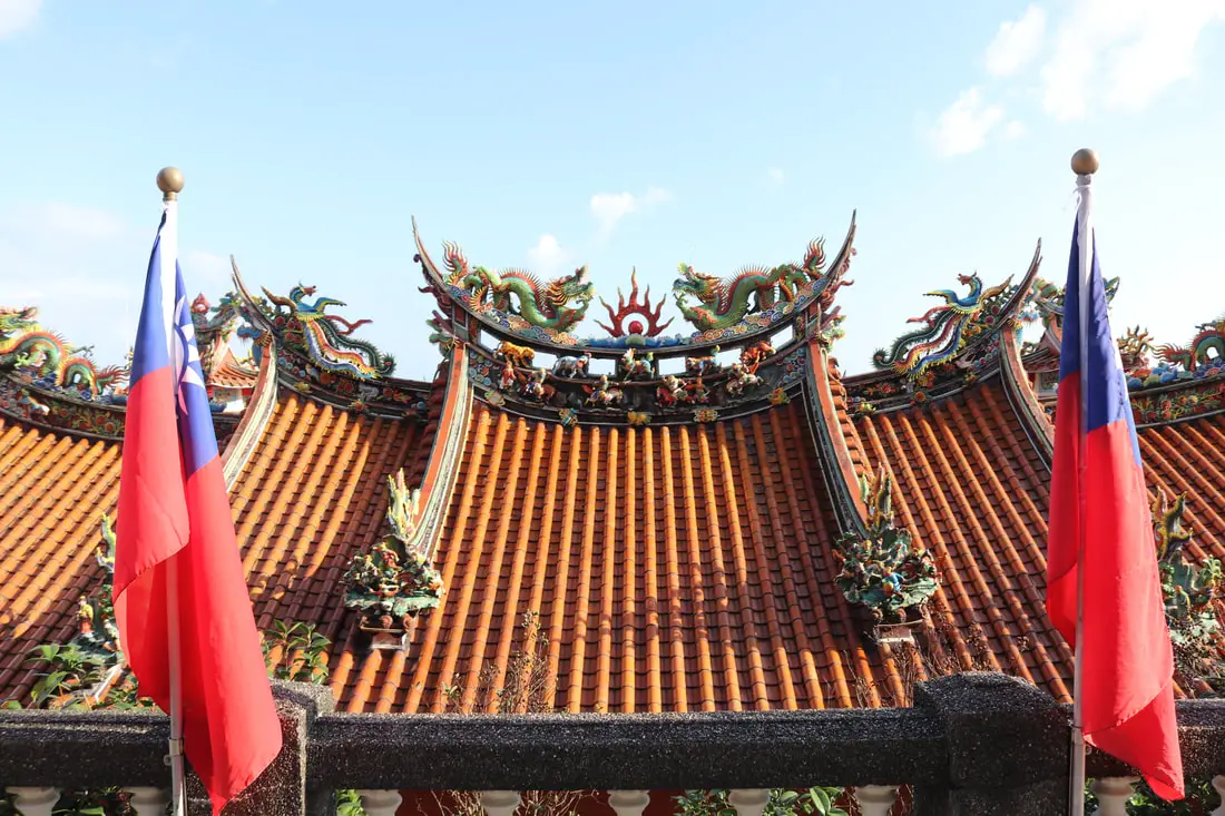
Dali Temple (大里天公廟) also known as Caoling Qingyun Temple (草嶺慶雲宮) was built in 1836 and the main god here is the Jade Emporer. It was siginficantly renovated and expanded in the 1990s.
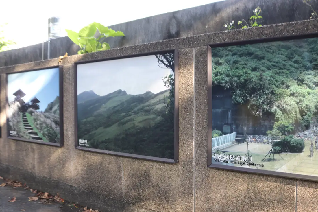
Copy of the tiger inscription near the visitor's center. There is a model of the area in the visitors center as well as more information regarding its history and ecology.
Photos from inside the visitor's center above.
Also some drone footage from above Dali near the visitor's center above.
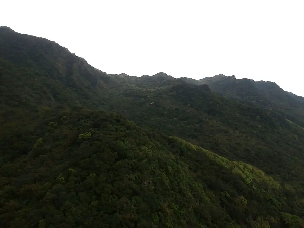
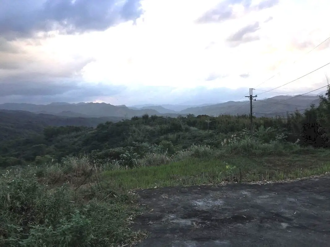
View of the mountains near the Caoling old trail.
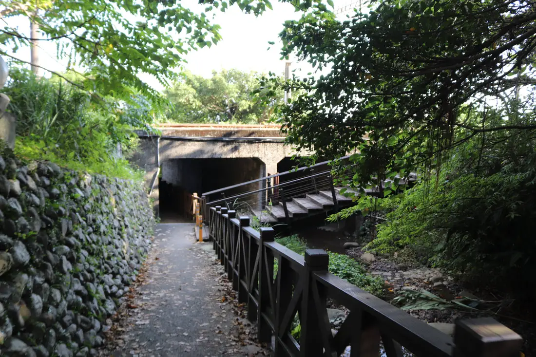
To get to the train station you can go underneath the highway to the right of the visitor's center.
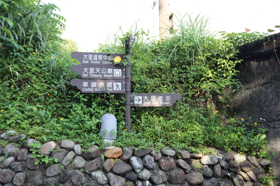
Signs will point you in the right direction.
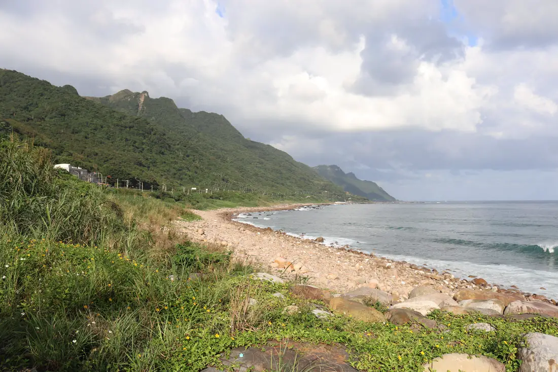
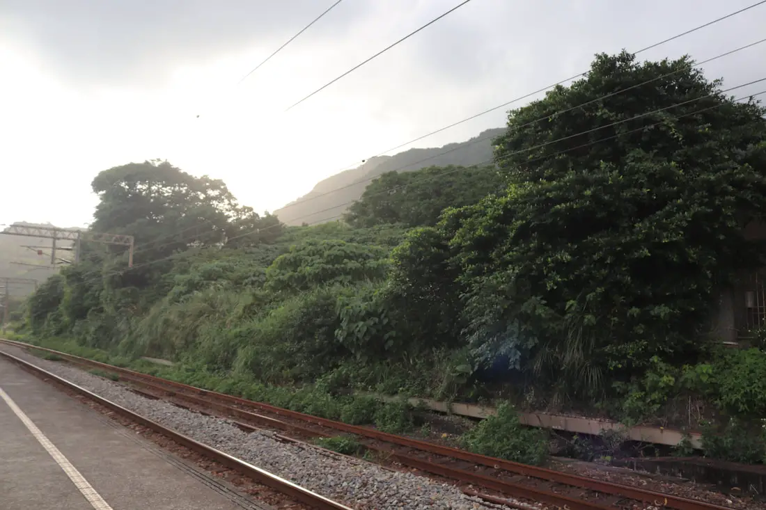
View of the ocean near Dali Train staion.
If you keep going you can make it to Dali Old street which is just some old houses and residential area. The beach here is rocky as well.
Views of Caoling Old Trail near the train station.
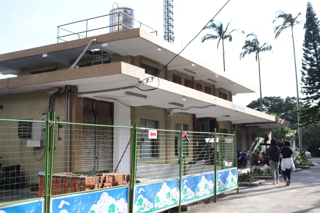
3:20 PM, 9.5 KM. We made it to Dali Train Station.
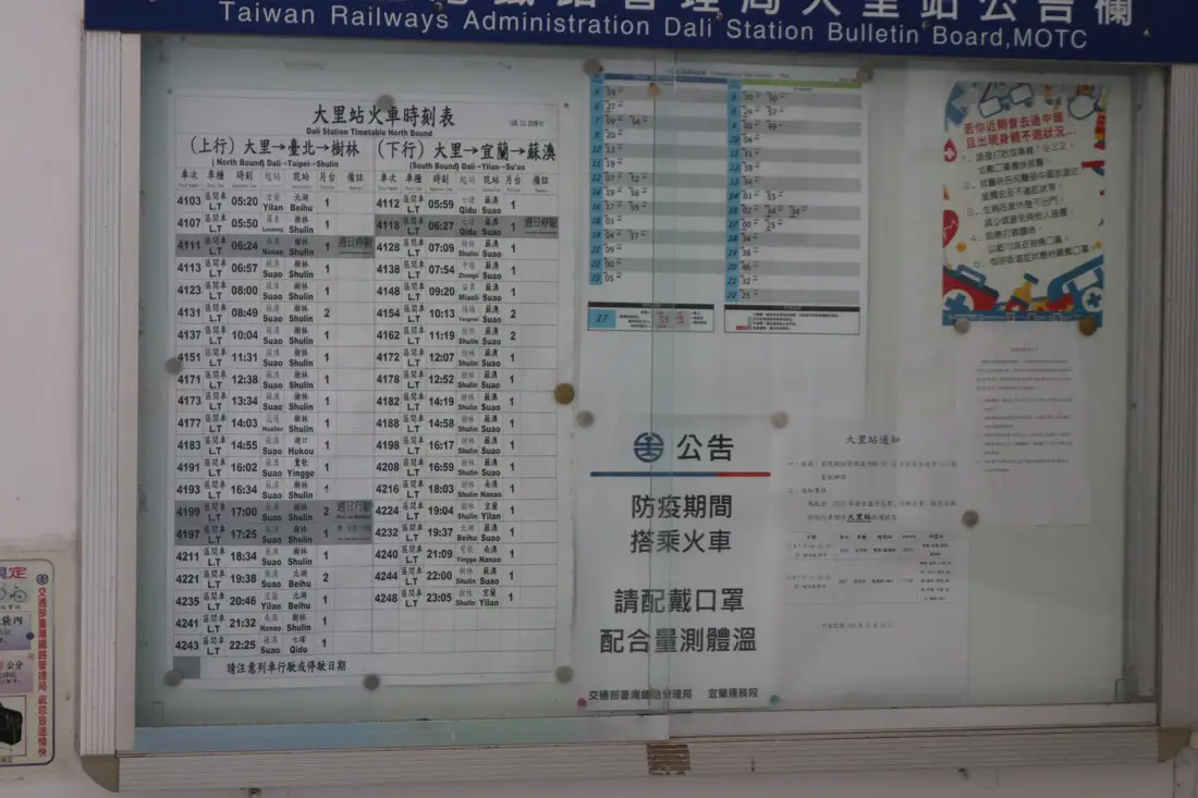
Unfortunately the trains here come only every hour or so. There is no Tzechiang or Juguang class trains, only local trains. So we had to wait here for 45 minutes! That's why to save time you can park at Wangyuankeng Park. The walk back to the park from the top of the mountain only takes an hour, but it takes an hour and a half to walk back to Dali Station, and then you have to wait for a train.
The train back is only 15 NT. There are very few busses that come along this route.
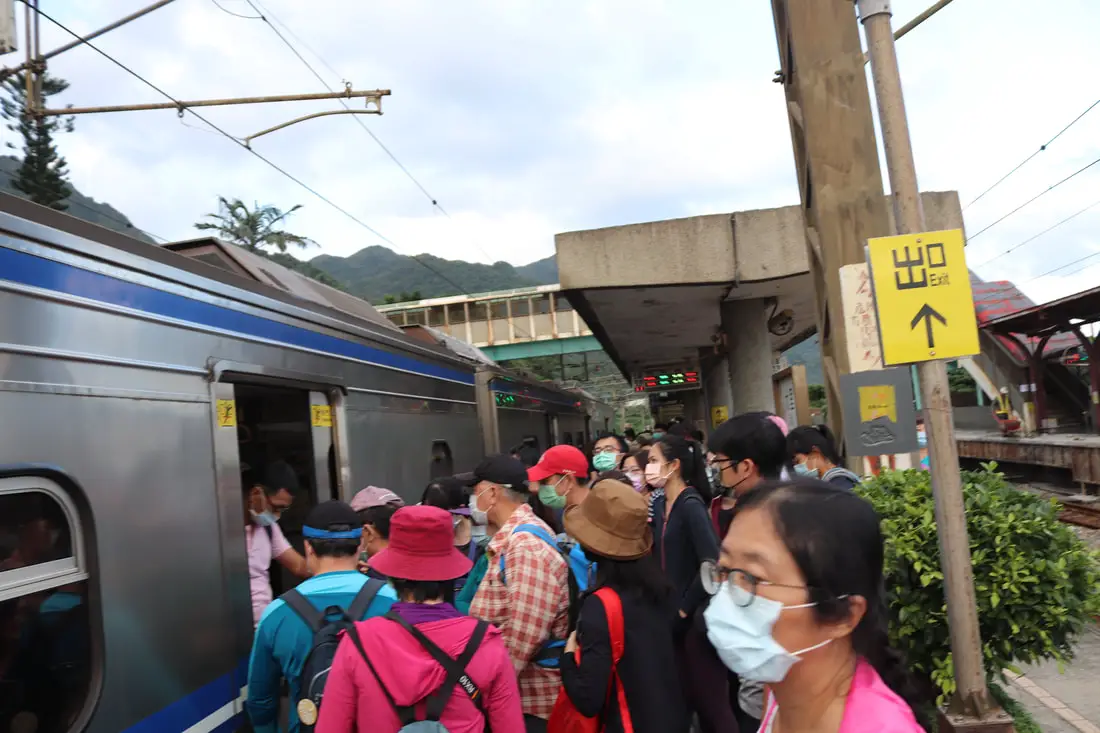
4:06 PM, we took the train back to Fulong.
After a stop at Shicheng, we made it back to Fulong about ten minutes later at 4:16 PM. We had some food and headed back to Taipei.
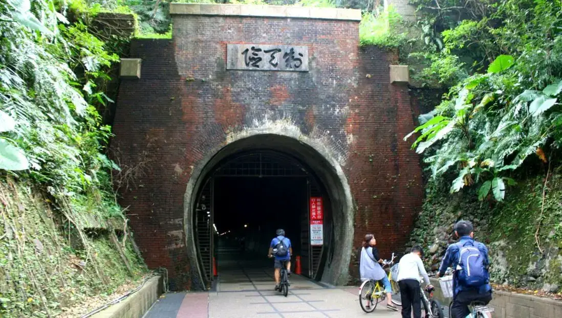
If you have time, you can check out the Caoling tunnel bike ride, but you probably won't have time. For our full blog on the bike ride, click here.
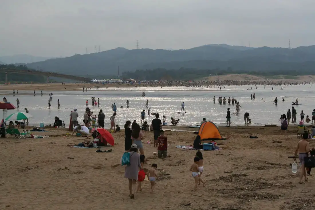
It's more likely you'll have time to relax on Fulong Beach. For our full blog of Fulong Beach, click here.
For another great blog of the trail going backwards from Dali to Fulong, click here. You can purchase tours and tickets for many activities in Yilan such as surfing, kayaking, horse riding, river tracing, river rafting, river tubing, pack rafting, water biking, snorkeling, canoeing, and many others through Klook here or KKday here. You can see our full guide to Yilan here. Check out our full guide to Taiwan's Northern Coast here and our full guide Taiwan's East Coast here. You can also check out our full travel guide to Taiwan here.
0 Comments
Your comment will be posted after it is approved.
Leave a Reply. |
Author 作家I am an American expat who has extensive experience living, working, and traveling in Taiwan. In my day, I had to learn many things about Taiwan the hard way. But I have come to learn that Taiwan is one of the best places in the world for Foreigners to live. This blog does not represent the opinions of every foreigner in Taiwan. I am just trying to help others learn more about this beautiful country. Categories
|
 RSS Feed
